Lawhead

Settlement in Fife

Scotland

Lawhead

Barley and sky Only a thin layer of information separates the vastness of the barley field from the vastness of the summer sky.
Barley and sky Credit: Aleks Scholz

Lawhead is a small village located in the region of Fife, in eastern Scotland. Situated about 3 miles southwest of the town of Glenrothes, Lawhead is a peaceful and picturesque settlement with a population of around 500 residents.

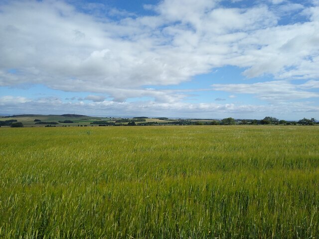
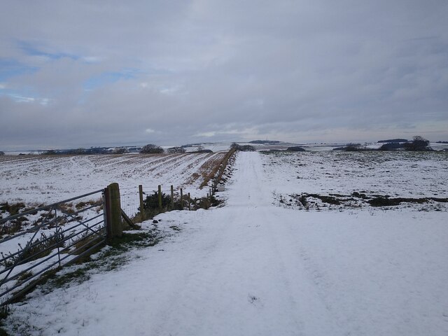
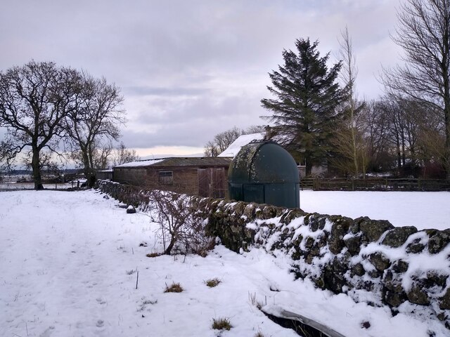
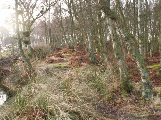
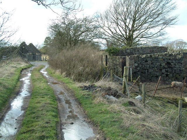
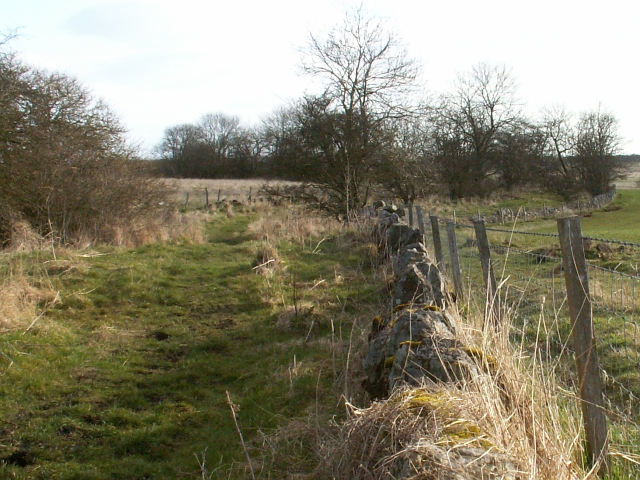
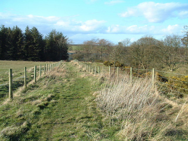
Nestled amidst the beautiful Scottish countryside, Lawhead boasts stunning natural landscapes and a tranquil atmosphere. The village is surrounded by rolling hills, lush green fields, and patches of dense woodland, making it an ideal location for those seeking a peaceful retreat.

Despite its small size, Lawhead offers a range of amenities for its residents and visitors. The village has a community center that serves as a hub for various local events and activities. Additionally, there is a primary school that provides education for the village's children.

Lawhead's location provides easy access to the nearby town of Glenrothes, offering a wider range of services, including shops, supermarkets, restaurants, and leisure facilities. The village also benefits from excellent transport links, with several bus routes connecting to neighboring towns and cities.

For those interested in outdoor activities, Lawhead offers plenty of opportunities for hiking, cycling, and exploring the surrounding countryside. Nearby attractions include the Lomond Hills Regional Park, where visitors can enjoy scenic walks and stunning views of the Fife coastline.

In summary, Lawhead is a charming village in Fife, Scotland, known for its tranquil setting, natural beauty, and community spirit. It provides a peaceful retreat for residents and visitors, while also offering easy access to nearby amenities and attractions.

If you have any feedback on the listing, please let us know in the comments section below.
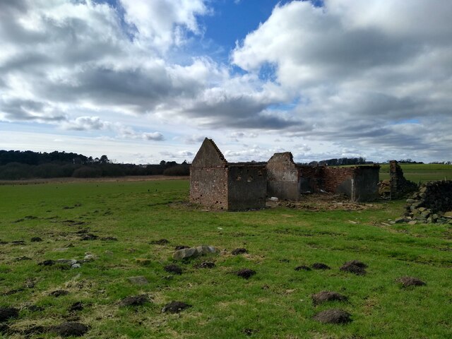
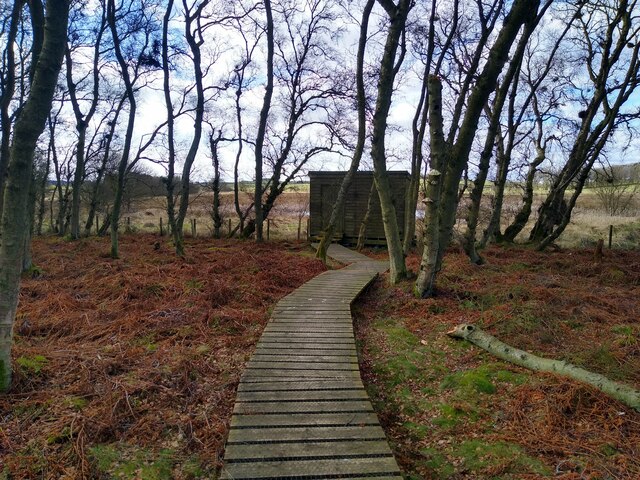
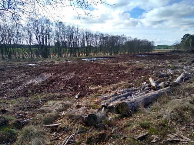
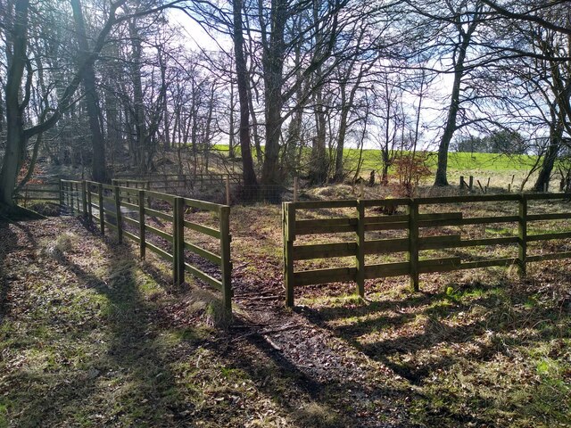
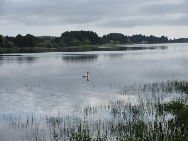
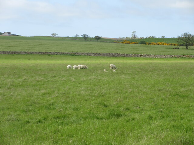
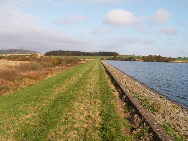
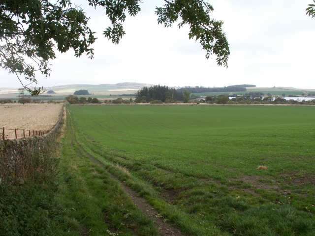
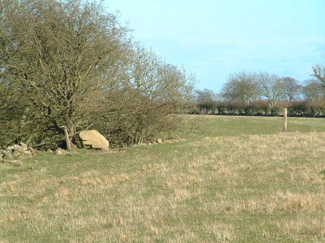
Lawhead Images

Images are sourced within 2km of 56.276243/-2.8723006 or Grid Reference NO4609. Thanks to Geograph Open Source API. All images are credited.

Barley and sky Only a thin layer of information separates the vastness of the barley field from the vastness of the summer sky.
Barley and sky
Only a thin layer of information separates the vastness of the barley field from the vastness of the summer sky.
View towards Nether Radernie This field track is JUST on the western side of the boundary between two squares. The gate, from which this picture was taken, as well. This area around Cameron Reservoir often is the first appearance of snow when driving up from the East Neuk coast.
View towards Nether Radernie
This field track is JUST on the western side of the boundary between two squares. The gate, from which this picture was taken, as well. This area around Cameron Reservoir often is the first appearance of snow when driving up from the East Neuk coast.
Small observatory at Kirkton of Radernie A stylish wind turbine is right next to it, outside the frame of the picture.
Small observatory at Kirkton of Radernie
A stylish wind turbine is right next to it, outside the frame of the picture.
Ruins along the roadside Hidden in the bushes and trees next to the road are these derelict steadings. I'm guessing these used to be steadings.
Ruins along the roadside
Hidden in the bushes and trees next to the road are these derelict steadings. I'm guessing these used to be steadings.
Walls and not much else A set of ruined buildings, on the grassland on the outskirts of Peat Inn, if Peat Inn even has outskirts.
Walls and not much else
A set of ruined buildings, on the grassland on the outskirts of Peat Inn, if Peat Inn even has outskirts.
Bird hide in Bankhead Moss Well placed, at the margins of woodland, and looking out over a small bit of wetland.
Bird hide in Bankhead Moss
Well placed, at the margins of woodland, and looking out over a small bit of wetland.
Regeneration project This patch is an attempt to regenerate peat land.
Regeneration project
This patch is an attempt to regenerate peat land.
Core path to Bankhead Moss Most people probably visit Bankhead Moss from the north, directly from a small car park. But there is a core path from the south (this one here) which starts at the farm track from Peat Inn to Larennie.
Core path to Bankhead Moss
Most people probably visit Bankhead Moss from the north, directly from a small car park. But there is a core path from the south (this one here) which starts at the farm track from Peat Inn to Larennie.
Mistletoe scene in Bankhead Moss This is the view towards the west, from the renegerated peat land towards the wet land.
Mistletoe scene in Bankhead Moss
This is the view towards the west, from the renegerated peat land towards the wet land.
Swan on Cameron Reservoir Single swan towards the south-west corner of Cameron Reservoir.
Swan on Cameron Reservoir
Single swan towards the south-west corner of Cameron Reservoir.
Sheep and lambs Sheep with lambs in a field south of Cameron Reservoir.
Sheep and lambs
Sheep with lambs in a field south of Cameron Reservoir.
Western Dam, Cameron Reservoir Looking North across the up stream, or Western dam, of Cameron Reservoir which supplies water to St Andrews some 6kms to the North. Drum Carrow, 217m, on the left of skyline is about 2500m away and Cassindonald farm is just beyond the trees centre skyline.
Western Dam, Cameron Reservoir
Looking North across the up stream, or Western dam, of Cameron Reservoir which supplies water to St Andrews some 6kms to the North. Drum Carrow, 217m, on the left of skyline is about 2500m away and Cassindonald farm is just beyond the trees centre skyline.
Fields by Cairnhill, Radernie Looking more or less NW across this square from the high ground near Cairnhill down towards the flats of the Cameron Burn and the reservoir to right of photo. This square is all fields and farm tracks. The highest point on the skyline is Drum Carrow, 217 mts, some 3ks away.
Fields by Cairnhill, Radernie
Looking more or less NW across this square from the high ground near Cairnhill down towards the flats of the Cameron Burn and the reservoir to right of photo. This square is all fields and farm tracks. The highest point on the skyline is Drum Carrow, 217 mts, some 3ks away.
Birch wood, Bankhead Moss A small area of Birch wood in the Bankhead Moss reserve
Birch wood, Bankhead Moss
A small area of Birch wood in the Bankhead Moss reserve
Ruined cottages Two of the several ruins around near where the walking track from Cameron Reservoir reaches Crossgate
Ruined cottages
Two of the several ruins around near where the walking track from Cameron Reservoir reaches Crossgate
By Easter Radernie Ex farm track now a footpath between Radernie and Cameron.
By Easter Radernie
Ex farm track now a footpath between Radernie and Cameron.
Footpath from Radernie The northern end of the footpath leading from Radernie to Cameron. Cameron Reservoir is visible through the trees in the background.
Footpath from Radernie
The northern end of the footpath leading from Radernie to Cameron. Cameron Reservoir is visible through the trees in the background.
Boulder by the trees An erratic(?) boulder on the edge of a ravine south of Cameron Reservoir
Boulder by the trees
An erratic(?) boulder on the edge of a ravine south of Cameron Reservoir
Show me another place!

Lawhead is located at Grid Ref: NO4609 (Lat: 56.276243, Lng: -2.8723006)

Unitary Authority: Fife

Police Authority: Fife

What 3 Words

///enough.shape.foods. Near St Andrews, Fife

Nearby Locations

Lawhead Radernie

Related Wikis

Peat Inn

Peat Inn is a hamlet in Fife, Scotland, around 7 miles (11 kilometres) southeast of Cupar on the B940 and 6 miles (10 kilometres) southwest of St Andrews...
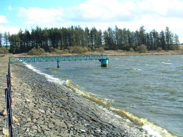
Cameron Reservoir

Cameron Reservoir is an artificial loch in the parish of Cameron in east Fife, Scotland. Covering an area of 69 hectares, it serves as a domestic water...

Largoward

Largoward is a village in East Fife, Scotland, lying on the road from Leven to St Andrews in the Riggin o Fife, 4½ miles north-east of Lower Largo and...

Lathones

Lathones (/lə'θonz/) is a village in Fife, Scotland, located approximately six miles (10 km) south west of St Andrews, in the parish of Cameron in the...

Nearby Amenities

Located within 500m of 56.276243,-2.8723006
Lawhead
Place: hamlet
Lat/Long: 56.2764674/-2.8718792
Radernie
Place: hamlet
Lat/Long: 56.2764434/-2.865737
Tarskavaig Bed And Breakfast
Addr Country: GB
Addr Housename: Tarskavaig
Addr Postcode: KY15 5LN
Fhrs Id: 909396
Guest House: bed_and_breakfast
Tourism: guest_house
Lat/Long: 56.2765003/-2.866981
Power: pole
Lat/Long: 56.2763369/-2.8794507
Power: pole
Lat/Long: 56.2761223/-2.8781124
Power: pole
Lat/Long: 56.2758931/-2.8767465
Power: pole
Lat/Long: 56.2756824/-2.8754223
Power: pole
Lat/Long: 56.2756609/-2.8741577
Power: pole
Lat/Long: 56.2756218/-2.8716461
Power: pole
Lat/Long: 56.275593/-2.8699606
Power: pole
Lat/Long: 56.2755666/-2.8685504
Power: pole
Lat/Long: 56.2755584/-2.8679636
Power: pole
Lat/Long: 56.2759443/-2.8666427
Power: pole
Lat/Long: 56.2760782/-2.8653398
Power: pole
Lat/Long: 56.2764596/-2.8643186
The data included in this document is from www.openstreetmap.org. The data is made available under ODbL.

Have you been to Lawhead?

Leave your review of Lawhead below (or comments, questions and feedback).