Laversdale Lane
Settlement in Cumberland Carlisle
England
Laversdale Lane
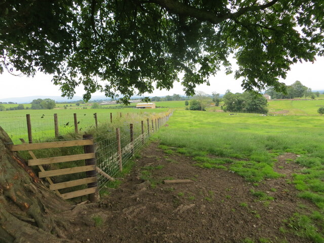
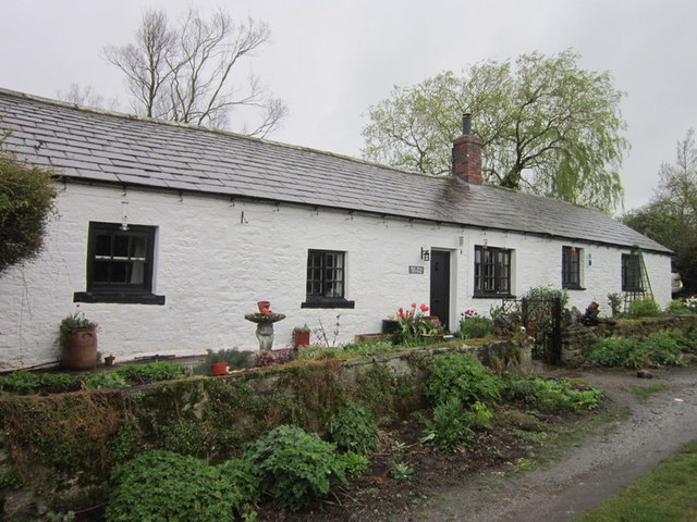
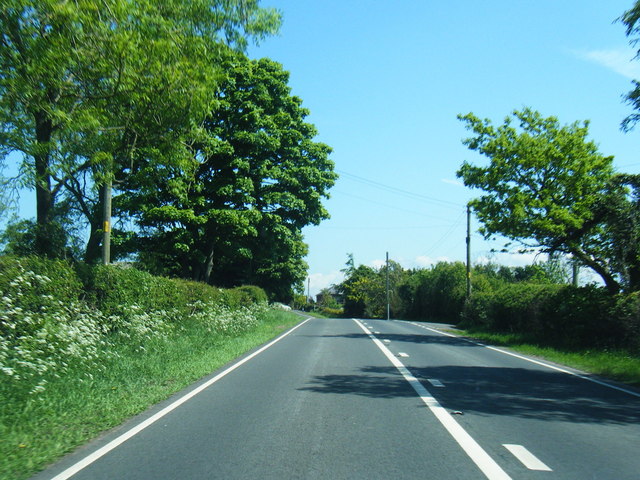
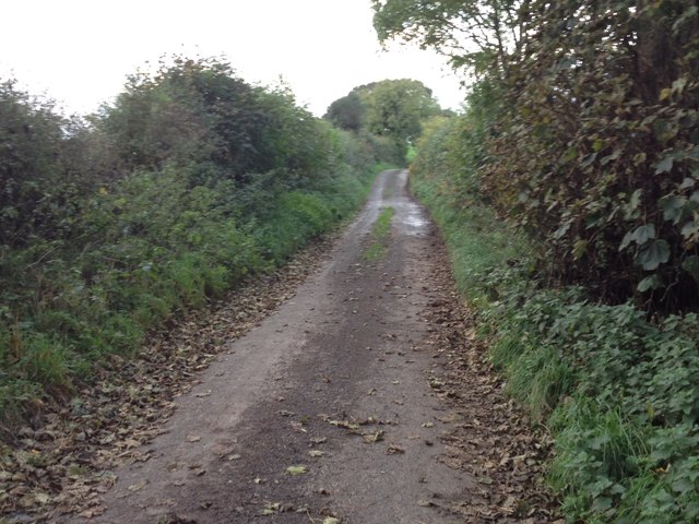
Laversdale Lane is a scenic country road located in the rural area of Cumberland, England. Situated amidst the picturesque landscapes of the North West, this lane offers a peaceful and idyllic setting for both residents and visitors alike.
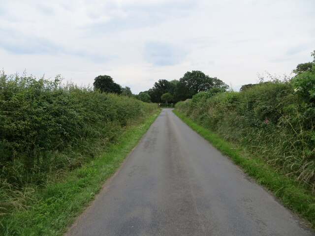
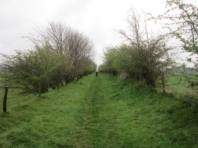
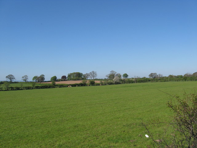
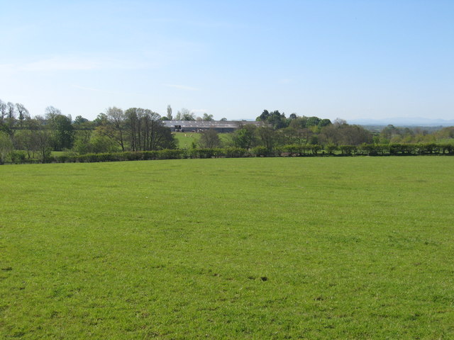
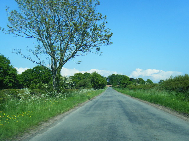
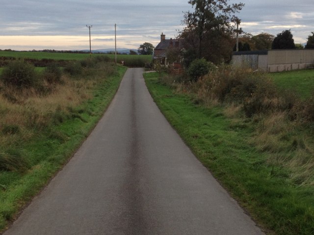
Stretching for approximately two miles, Laversdale Lane is flanked by lush green fields and rolling hills, providing stunning views of the surrounding countryside. The lane is lined with tall trees, creating a tranquil and secluded atmosphere as one traverses along its path.
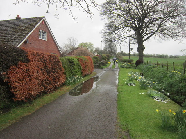
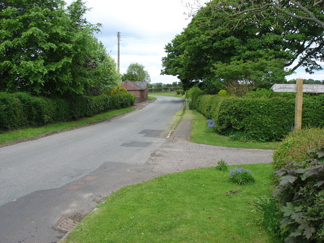
The road is well-maintained, making it easily accessible for vehicles and pedestrians. The surface is smooth and free from major potholes or hazards, ensuring a pleasant journey for those who choose to explore this charming countryside route.
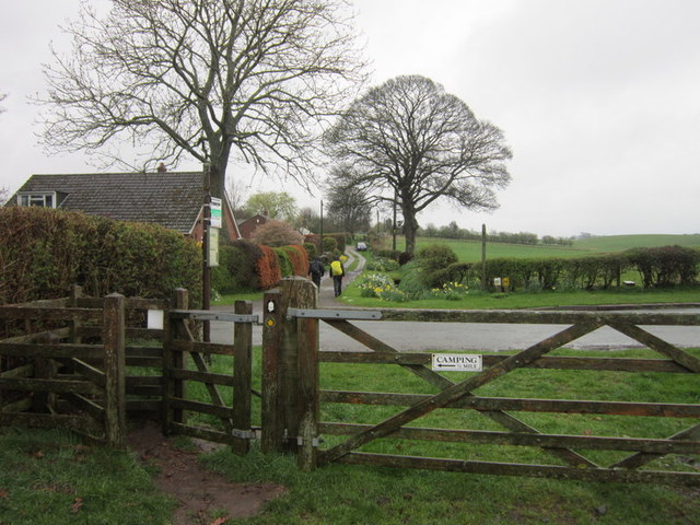
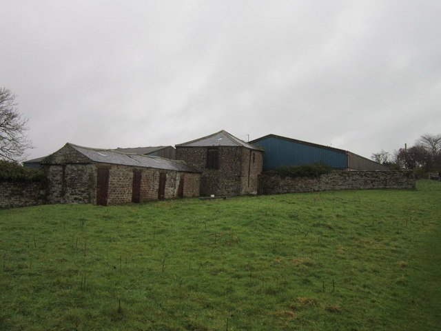
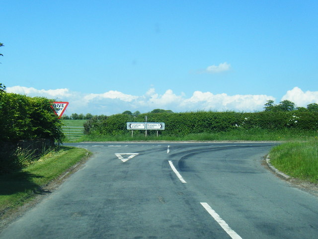
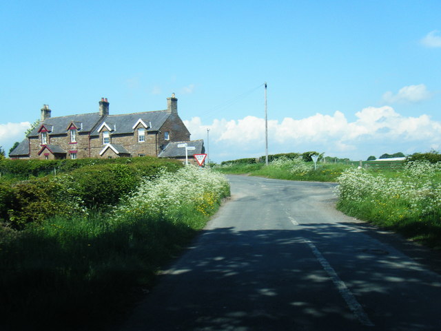
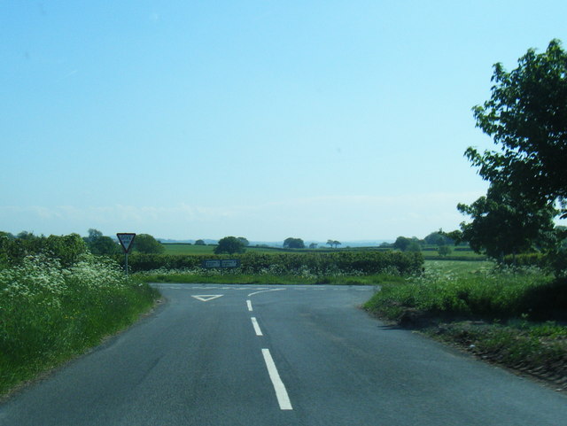
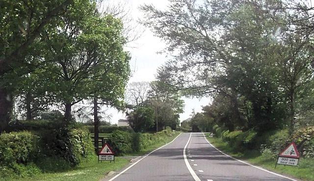
Laversdale Lane intersects with several other minor roads, leading to nearby villages and hamlets, where one can find amenities such as local shops and pubs. This makes it a popular route for commuters and locals, as it provides a convenient connection to nearby settlements.
Wildlife enthusiasts will find Laversdale Lane particularly captivating, as the area is home to a wide variety of flora and fauna. Birdwatchers can spot various species of birds in the surrounding trees and fields, while nature lovers can enjoy the sight of wildflowers and plants that dot the roadside.
Overall, Laversdale Lane offers a serene and picturesque experience for those seeking a tranquil escape in the heart of Cumberland's countryside.
If you have any feedback on the listing, please let us know in the comments section below.
Laversdale Lane Images
Images are sourced within 2km of 54.964427/-2.8162593 or Grid Reference NY4763. Thanks to Geograph Open Source API. All images are credited.
Laversdale Lane is located at Grid Ref: NY4763 (Lat: 54.964427, Lng: -2.8162593)
Administrative County: Cumbria
District: Carlisle
Police Authority: Cumbria
What 3 Words
///treatment.fairway.moss. Near Brampton, Cumbria
Nearby Locations
Related Wikis

Laversdale
Laversdale is a village in Cumbria, England, situated to the north of Carlisle Lake District Airport. In 1870-72 the township had a population of 428....

Milecastle 59
Milecastle 59 (Old Wall) was a milecastle on Hadrian's Wall (grid reference NY48546174). == Description == Milecastle 59 is on level ground 450 metres...
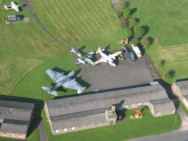
Solway Aviation Museum
The Solway Aviation Museum is an aviation museum located at Carlisle Lake District Airport in Cumbria. == About == The Museum is run by The Solway Aviation...

Milecastle 58
Milecastle 58 (Newtown) was a milecastle on Hadrian's Wall (grid reference NY49786258). == Description == Milecastle 58 is believed to lie near the lane...

Milecastle 60
Milecastle 60 (High Strand) was one of a series of Milecastles or small fortlets built at intervals of approximately one Roman mile along Hadrian's Wall...

Irthington
Irthington is a village and civil parish within the City of Carlisle district in Cumbria, England, situated to the north-east of Carlisle Lake District...
Milecastle 57
Milecastle 57 (Cambeckhill) was a milecastle on Hadrian's Wall (grid reference NY50816368). == Description == The exact location of Milecastle 57 is not...

Irthington Castle
Irthington Castle was a castle located near Irthington, Cumbria, England. == History == The barony of Gilsland was granted to Hubert I de Vaux in 1157...
Nearby Amenities
Located within 500m of 54.964427,-2.8162593Have you been to Laversdale Lane?
Leave your review of Laversdale Lane below (or comments, questions and feedback).