Leathaid

Settlement in Sutherland

Scotland

Leathaid

Telephone box near Portnancon Beinn Spionnaidh is just peeping over the skyline.
Telephone box near Portnancon Credit: Russel Wills

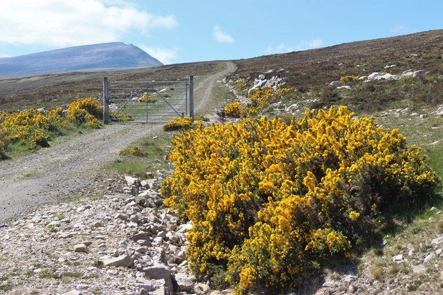
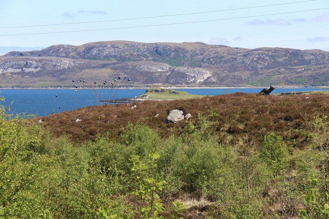
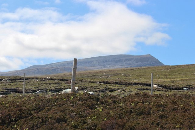
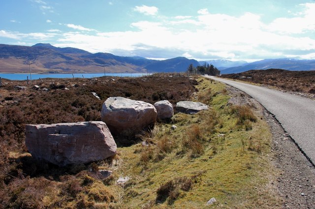
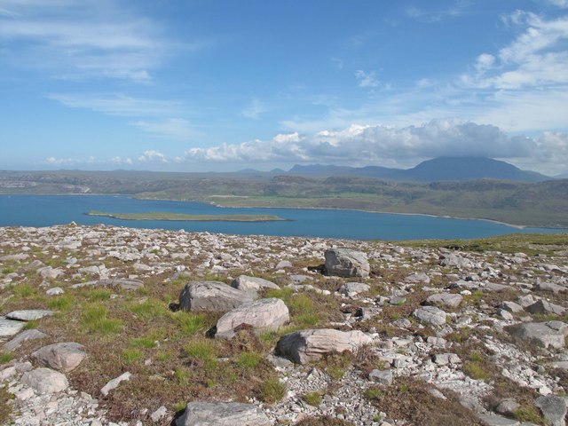
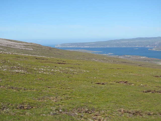
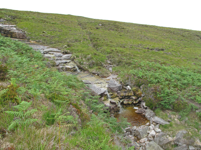
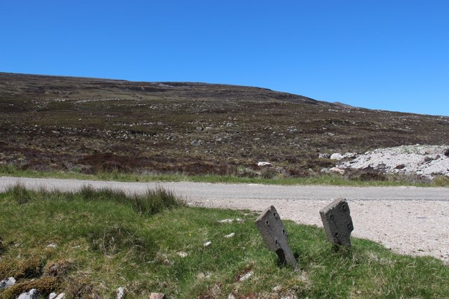
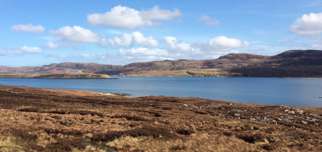
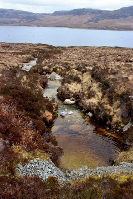
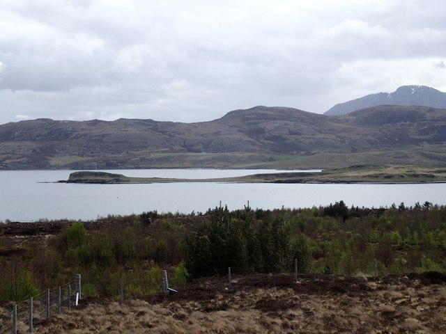
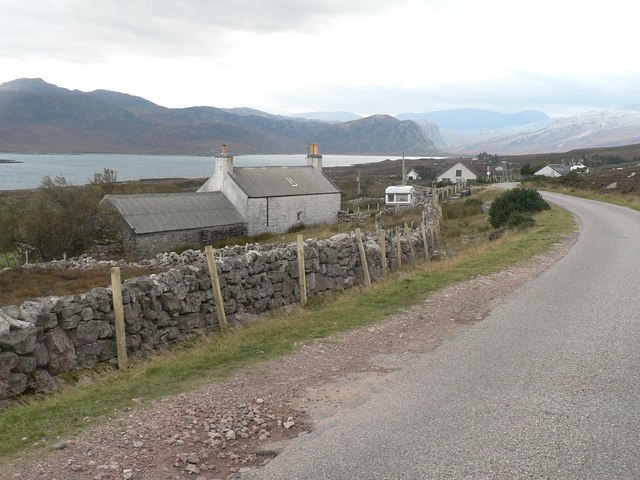
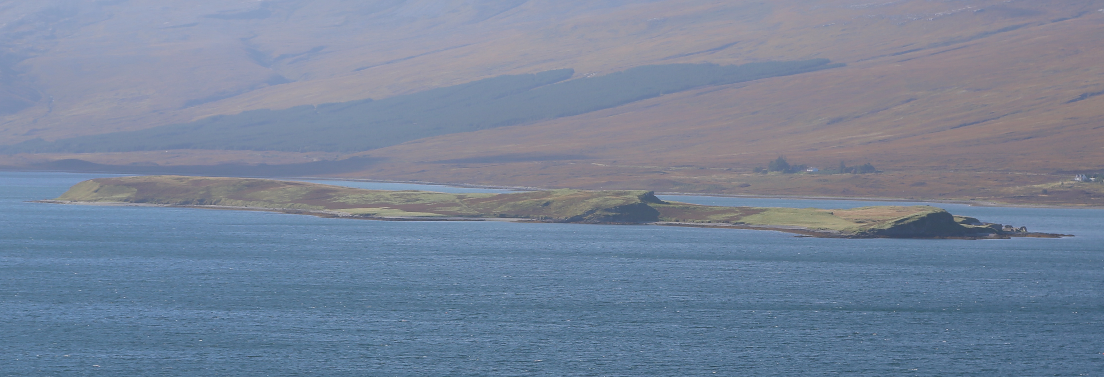
Leathaid is a small village located in the county of Sutherland, in the northern Highlands of Scotland. Situated along the scenic North Coast 500 route, Leathaid is known for its picturesque surroundings and rugged landscape. The village is surrounded by rolling hills, moors, and forests, making it a popular destination for outdoor enthusiasts and nature lovers.

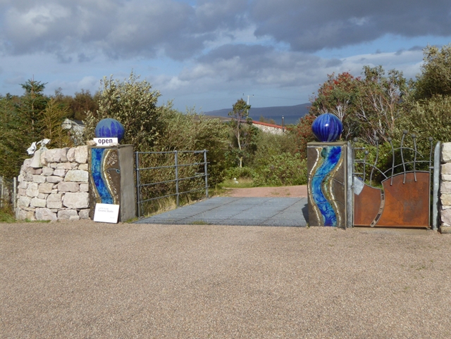
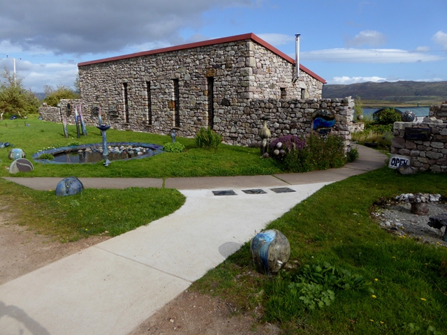
Leathaid is home to a small population of around 200 residents, who primarily work in agriculture and tourism-related industries. The village has a quaint charm, with traditional stone cottages and a peaceful atmosphere that offers a welcome escape from the hustle and bustle of city life.

Visitors to Leathaid can enjoy a range of outdoor activities, including hiking, fishing, and birdwatching. The village is also within easy reach of several historic sites, such as the ruins of Ardvreck Castle and the ancient standing stones at Calanais.

Overall, Leathaid is a tranquil and idyllic village that offers a glimpse into rural Scottish life and provides a perfect base for exploring the stunning natural beauty of the Highlands.

If you have any feedback on the listing, please let us know in the comments section below.
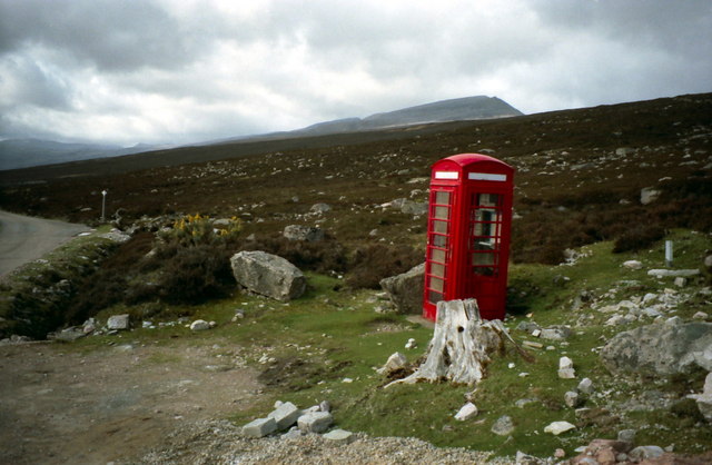
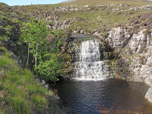
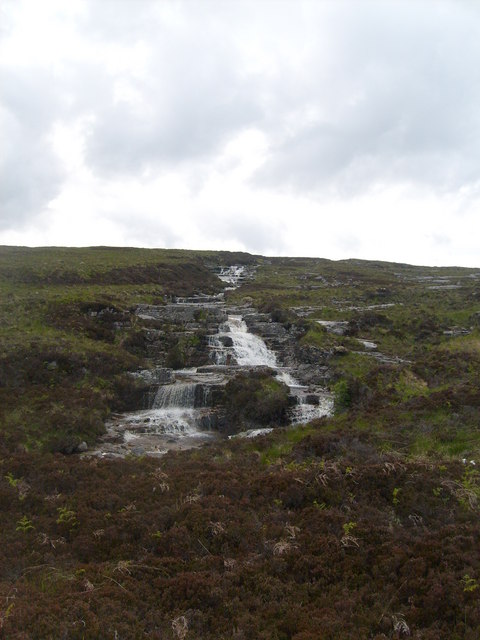
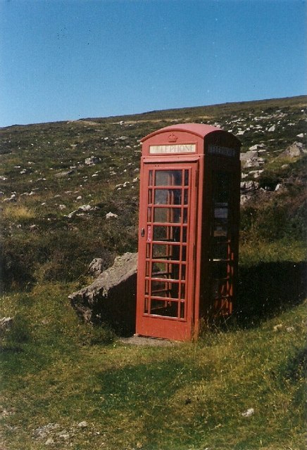
Leathaid Images

Images are sourced within 2km of 58.486291/-4.7265598 or Grid Reference NC4158. Thanks to Geograph Open Source API. All images are credited.

Telephone box near Portnancon Beinn Spionnaidh is just peeping over the skyline.
Telephone box near Portnancon
Beinn Spionnaidh is just peeping over the skyline.
Waterfall on the Allt an Lagain A waterfall on the hill above the settlement of Laid.
Waterfall on the Allt an Lagain
A waterfall on the hill above the settlement of Laid.
Allt na Lagain Cascading water
Allt na Lagain
Cascading water
Erratic Phone Booth
Erratic Phone Booth
Access to Laid waterworks A rather pointless deer gate bars the way to vehicles
Access to Laid waterworks
A rather pointless deer gate bars the way to vehicles
The setting for some unusual art overlooks Loch Erribol
Grazed moorland runs up to the unremarkable face of Beinn Spionnaidh
Boulders by the roadside south of Laid
Meall nan Cra The stony eastern slopes of Meall nan Cra, looking towards Loch Eriboll and Ben Hope.
Meall nan Cra
The stony eastern slopes of Meall nan Cra, looking towards Loch Eriboll and Ben Hope.
Hill slope above Laid The slopes above the settlement of Laid, looking towards the mouth of Loch Eriboll and Whiten Head.
Hill slope above Laid
The slopes above the settlement of Laid, looking towards the mouth of Loch Eriboll and Whiten Head.
Allt an-t Sasunnaich A burn on the eastern slopes of Beinn Spionnaidh.
Allt an-t Sasunnaich
A burn on the eastern slopes of Beinn Spionnaidh.
Moorland slopes above Loch Eriboll
Loch Eriboll View towards the loch, with the southern tip of Eilean Choraidh visible on the left.
Loch Eriboll
View towards the loch, with the southern tip of Eilean Choraidh visible on the left.
Allt an t-Sasunnaich and Loch Erribol The lowlander's burn.
Allt an t-Sasunnaich and Loch Erribol
The lowlander's burn.
Gateway to Sculpture Croft and Studio Gateway to the premises of Lotte Glob, ceramic artist overlooking Loch Eriboll.
Gateway to Sculpture Croft and Studio
Gateway to the premises of Lotte Glob, ceramic artist overlooking Loch Eriboll.
Lotte Glob's Studio at Laid Studio of Lotte Glob, ceramic artist.The surrounding garden contains many examples of her work.
Lotte Glob's Studio at Laid
Studio of Lotte Glob, ceramic artist.The surrounding garden contains many examples of her work.
Ceramic artwork at the Sculpture Croft Outside the studio of Lotte Glob at Laid. Loch Eriboll can be seen in the distance.
Ceramic artwork at the Sculpture Croft
Outside the studio of Lotte Glob at Laid. Loch Eriboll can be seen in the distance.
North end of Eilean Choraidh from Laid Low island in Loch Eriboll.
North end of Eilean Choraidh from Laid
Low island in Loch Eriboll.
Show me another place!

Leathaid is located at Grid Ref: NC4158 (Lat: 58.486291, Lng: -4.7265598)

Unitary Authority: Highland

Police Authority: Highlands and Islands

Also known as: Laid

What 3 Words

///longingly.mammoth.iteration. Near Oldshoremore, Highland

Nearby Locations

Laid Leathaid

Related Wikis

Laid, Sutherland

Laid is a remote, linear crofting township scattered along the A838 road on the western shore of the sea loch, Loch Eriboll in Sutherland in the northern...

Eilean Choraidh

Eilean Choraidh, also known as Horse Island is an island in Loch Eriboll in Sutherland on the north coast of Scotland. It is about 26 hectares (64 acres...

Portnancon

Portnacon is a small remote crofting township, and former fishing station, on the west shore of Loch Eriboll in Sutherland, Scottish Highlands in the...

Eriboll

Eriboll (Scottish Gaelic: Earabol) is a village in Sutherland, Scotland. The village is situated on the south eastern shore of Loch Eriboll, in the northern...

Nearby Amenities

Located within 500m of 58.486291,-4.7265598
Source: PGS
Lat/Long: 58.4823886/-4.7233
Source: PGS
Lat/Long: 58.4828043/-4.7233487
Source: PGS
Lat/Long: 58.4832592/-4.7229773
Source: PGS
Lat/Long: 58.4839197/-4.7221778
Source: PGS
Lat/Long: 58.4841213/-4.7218338
Source: PGS
Lat/Long: 58.4844245/-4.7215487
Source: PGS
Lat/Long: 58.4850208/-4.7213823
Source: PGS
Lat/Long: 58.4853361/-4.7212898
Source: PGS
Lat/Long: 58.485822/-4.7208951
Source: PGS
Lat/Long: 58.4861045/-4.7205062
Source: PGS
Lat/Long: 58.4865159/-4.7199776
Source: PGS
Lat/Long: 58.4869947/-4.7197631
Source: PGS
Lat/Long: 58.4878637/-4.7189039
Bus Stop
Laid Village
Naptan AtcoCode: 6700713453
Naptan Bearing: E
Naptan CommonName: Laid Village
Naptan Indicator: at Houses
Naptan Landmark: Houses
Naptan NaptanCode: 45328737
Naptan Street: off A838
Naptan Verified: no
Source: naptan_import
Lat/Long: 58.4904678/-4.7236739
Laid
Name Gd: An Leathad
Place: hamlet
Source: OS7
Lat/Long: 58.4904972/-4.7260142
Passing Place
Lat/Long: 58.4895828/-4.7253439
Cafe
Choraidh Croft Tearoom
Addr City: Lairg
Addr Housenumber: 94
Addr Postcode: IV27 4UN
Addr Street: Laid
Phone: +44 1971 511235
Lat/Long: 58.4902931/-4.7235632
Power: pole
Lat/Long: 58.4889112/-4.7240719
Material: wood
Power: pole
Lat/Long: 58.4821443/-4.7296737
Power: pole
Lat/Long: 58.4824908/-4.7291977
Power: pole
Lat/Long: 58.4829055/-4.7286146
Power: pole
Lat/Long: 58.4834148/-4.7286146
Power: pole
Lat/Long: 58.4837196/-4.7285864
Power: pole
Lat/Long: 58.4843231/-4.7275946
Power: pole
Lat/Long: 58.4849642/-4.7270495
Power: pole
Lat/Long: 58.4857101/-4.7264703
Power: pole
Lat/Long: 58.486921/-4.7255777
Power: pole
Lat/Long: 58.4875203/-4.7251261
Power: pole
Lat/Long: 58.4881639/-4.7246492
Power: pole
Lat/Long: 58.4895481/-4.7235882
The data included in this document is from www.openstreetmap.org. The data is made available under ODbL.

Have you been to Leathaid?

Leave your review of Leathaid below (or comments, questions and feedback).