Knighton
Settlement in Hampshire
England
Knighton
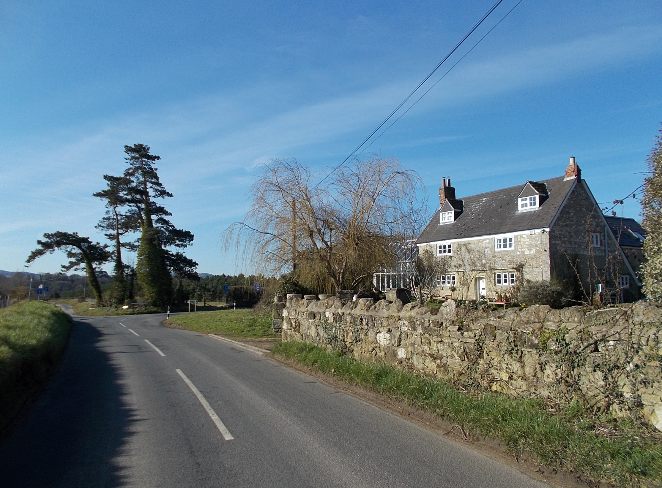
Knighton is a small village situated in the county of Hampshire, England. It is located approximately 8 miles southeast of the city of Winchester and is nestled within the picturesque South Downs National Park. The village is known for its idyllic countryside setting, offering breathtaking views and a tranquil atmosphere.
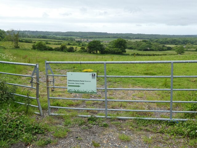
With a population of around 500 residents, Knighton boasts a close-knit community. The village is primarily residential, featuring a mix of charming cottages and modern houses. Its rural character is further enhanced by the surrounding farmland and rolling hills, making it a popular destination for nature enthusiasts and walkers.
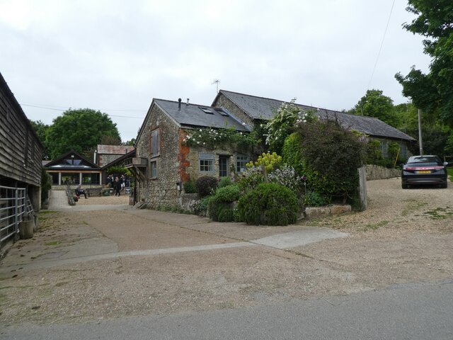
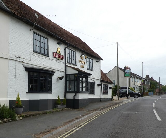
Despite its small size, Knighton benefits from some local amenities. The village has a community hall, which serves as a hub for various social events and activities. Additionally, there is a local pub, providing a gathering place for residents and visitors alike.
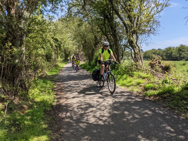
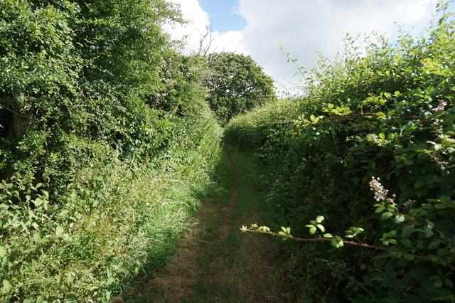
For those seeking recreational opportunities, Knighton offers easy access to the South Downs National Park, which is renowned for its stunning landscapes and diverse wildlife. The park provides ample opportunities for hiking, cycling, and horse riding, attracting outdoor enthusiasts from near and far.
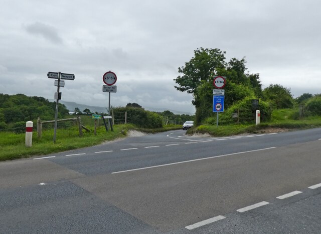
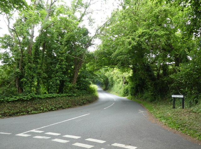
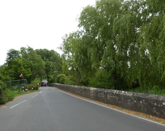
Knighton's location also offers convenient access to nearby towns and cities. Winchester, with its rich history and cultural attractions, is a short drive away. The village is well-connected by road, with the A31 and A272 providing easy links to other parts of Hampshire and beyond.
Overall, Knighton is a charming village that offers a peaceful and picturesque lifestyle, making it an appealing place to live or visit for those seeking a rural retreat in the heart of Hampshire.
If you have any feedback on the listing, please let us know in the comments section below.
Knighton Images
Images are sourced within 2km of 50.675804/-1.2027818 or Grid Reference SZ5686. Thanks to Geograph Open Source API. All images are credited.


Knighton is located at Grid Ref: SZ5686 (Lat: 50.675804, Lng: -1.2027818)
Unitary Authority: Isle of Wight
Police Authority: Hampshire
What 3 Words
///engage.swift.sculpting. Near Newchurch, Isle of Wight
Nearby Locations
Related Wikis
Knighton, Isle of Wight
Knighton is a hamlet near to Newchurch on the Isle of Wight. The name should be pronounced as Kay-nighton to avoid confusion with the larger, homophonic...

Newchurch railway station
Newchurch railway station, was an intermediate station situated on the edge of Newchurch village on the line from Newport to Sandown incorporated by the...

Isle of Wight Garlic Festival
The Isle of Wight Garlic Festival is a fundraising event that is held annually on the Isle of Wight to support the island's garlic industry, as well as...
Mersley
Mersley is a farming hamlet on the Isle of Wight. Mersley is in Newchurch Parish, and is adjacent to the village of Newchurch itself. Mersley is home to...
Alverstone Marshes
Alverstone Marshes (grid reference SZ572859) is an 83.8 hectare biological Site of Special Scientific Interest on the Isle of Wight, notified in 1951....

All Saints' Church, Newchurch
All Saints' Church, Newchurch is a parish church in the Church of England located in Newchurch, Isle of Wight, England. The church is medieval dating from...

Newchurch, Isle of Wight
Newchurch is a village and civil parish on the Isle of Wight. It is located between Sandown and Newport in the southeast of the island. Anthony Dillington...

Knighton Gorges Manor
Knighton Gorges Manor was one of the grandest manor houses on the Isle of Wight, located in the hamlet of Knighton, near Newchurch. The Elizabethan-Tudor...
Nearby Amenities
Located within 500m of 50.675804,-1.2027818Have you been to Knighton?
Leave your review of Knighton below (or comments, questions and feedback).