Knob's Crook
Settlement in Dorset
England
Knob's Crook
Knob's Crook is a small picturesque village located in the county of Dorset, England. Situated on the southern coast of the country, it lies approximately 7 miles east of the town of Weymouth. With a population of around 500 residents, the village exudes a charming and tranquil atmosphere.
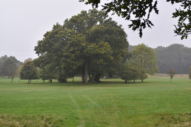
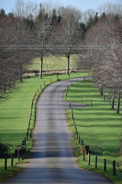
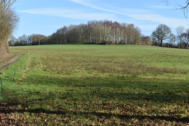
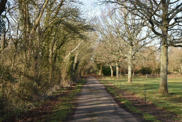
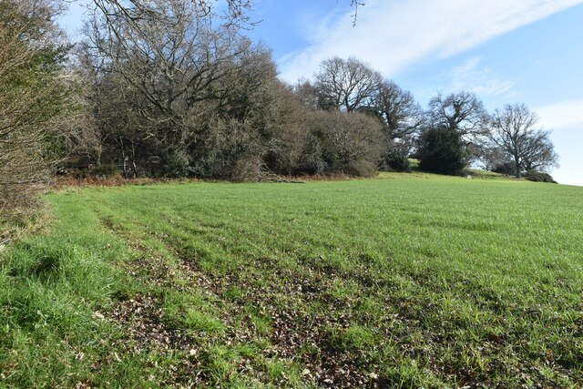
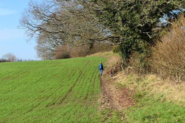
The village is renowned for its stunning natural beauty, characterized by rolling hills, lush green pastures, and idyllic countryside landscapes. Knob's Crook is surrounded by an abundance of natural attractions, including the nearby Jurassic Coast, a UNESCO World Heritage Site famous for its breathtaking cliffs and fossil-rich beaches.
Historically, Knob's Crook has deep roots in agricultural traditions. The villagers take great pride in their farming heritage, and the surrounding fields are often dotted with grazing livestock. Additionally, the village is home to a few small businesses, such as a local pub and a quaint village shop, providing essential services to both residents and visitors.
Knob's Crook also hosts various events throughout the year, attracting tourists from far and wide. The most popular of these is the annual Knob Throwing Festival, where participants compete in throwing specially-made Dorset knobs, a type of biscuit, as far as possible. This event has gained national recognition and draws a significant crowd each year.
Overall, Knob's Crook offers a peaceful retreat for those seeking a quintessential English countryside experience. With its stunning natural surroundings, strong agricultural heritage, and unique events, the village provides a warm welcome to all who visit.
If you have any feedback on the listing, please let us know in the comments section below.
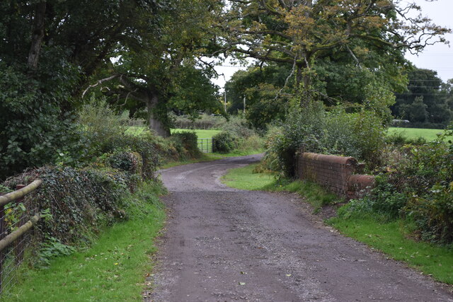
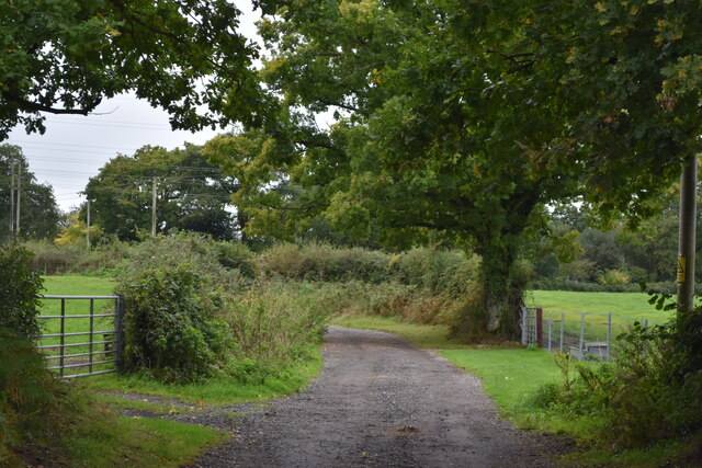
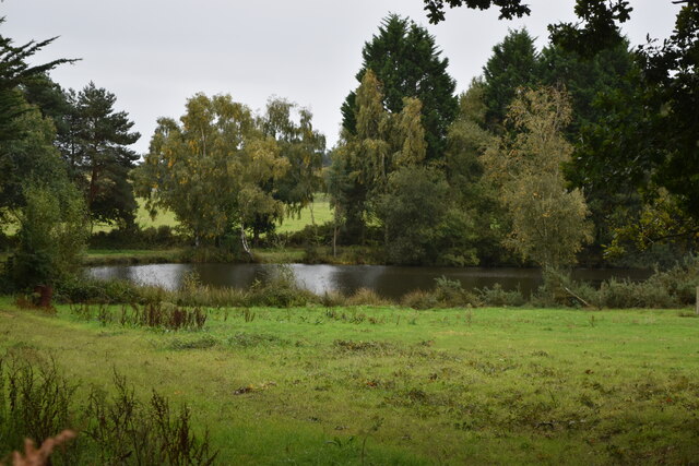
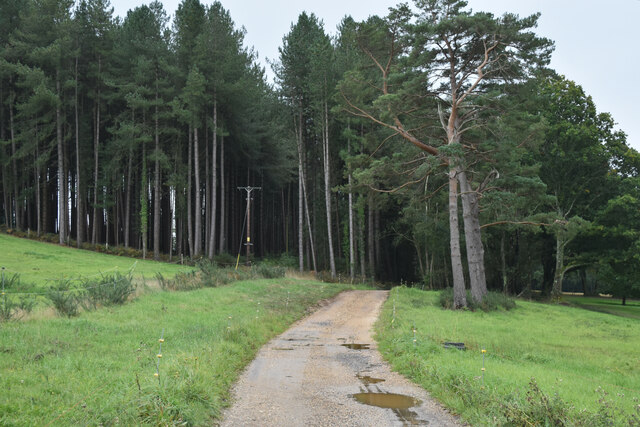
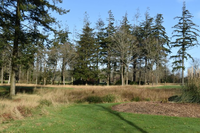
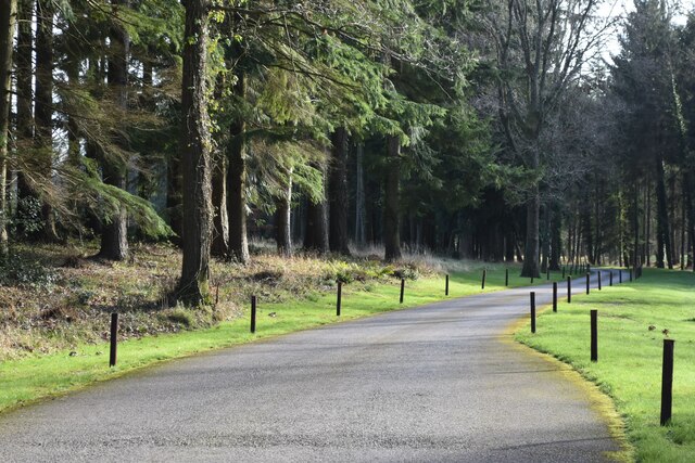
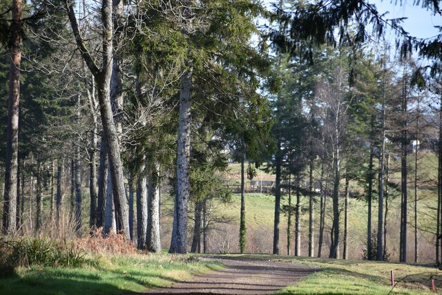
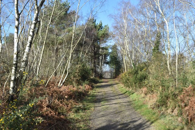
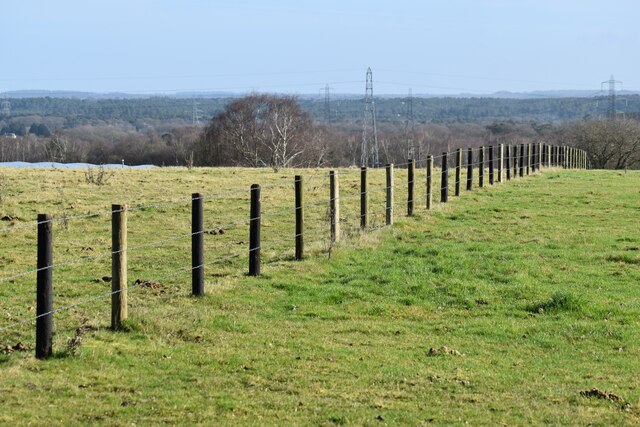
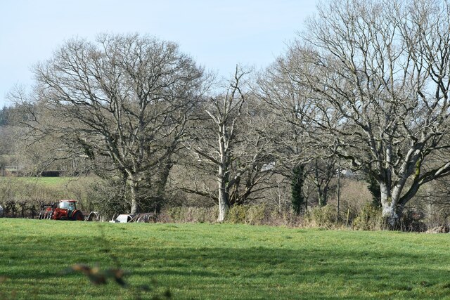
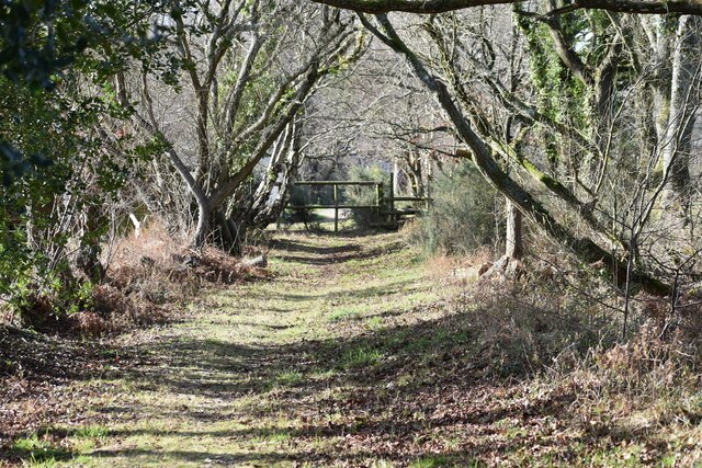
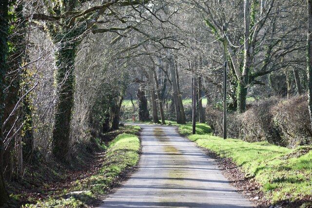
Knob's Crook Images
Images are sourced within 2km of 50.864602/-1.9186988 or Grid Reference SU0507. Thanks to Geograph Open Source API. All images are credited.
Knob's Crook is located at Grid Ref: SU0507 (Lat: 50.864602, Lng: -1.9186988)
Unitary Authority: Dorset
Police Authority: Dorset
What 3 Words
///homecare.dinosaur.arrival. Near Three Legged Cross, Dorset
Nearby Locations
Related Wikis
Horton Heath, Dorset
Horton Heath is a small village in Dorset, England situated one mile from Three Legged Cross and two miles from Horton. It consists of a main road, with...

Mannington, Dorset
Mannington and its southerly neighbour Lower Mannington are hamlets in the English county of Dorset. They are located within Holt parish 2.5 miles (4 km...

Woodlands, Dorset
Woodlands is a village and civil parish in the East Dorset district of Dorset, South-West England. It is five miles (8 km) north of Wimborne Minster. The...

Three Legged Cross
Three Legged Cross is an extended village within Verwood civil parish in east Dorset, England. It lies to the south of the town of Verwood and to the north...
Have you been to Knob's Crook?
Leave your review of Knob's Crook below (or comments, questions and feedback).