Kirkby-in-Ashfield
Settlement in Nottinghamshire Ashfield
England
Kirkby-in-Ashfield
Kirkby-in-Ashfield is a town located in the county of Nottinghamshire, England. Situated approximately 15 miles north of Nottingham city center, it has a population of around 25,000 residents. The town is part of the Ashfield district, which encompasses several neighboring towns and villages.
Kirkby-in-Ashfield has a rich history, dating back to Roman times. It was mentioned in the Domesday Book of 1086 and has since grown into a thriving community. The town's economy has traditionally been centered around coal mining, with several collieries operating in the area during the 19th and 20th centuries. However, with the decline of the mining industry, the town has diversified its economic activities, and now various sectors such as retail, manufacturing, and healthcare contribute to its local economy.
The town is well-served by transportation links, with a railway station providing regular services to Nottingham, Mansfield, and Worksop. Additionally, several bus routes connect Kirkby-in-Ashfield to neighboring towns and villages. The nearby M1 motorway also provides easy access to major cities such as Nottingham, Derby, and Sheffield.
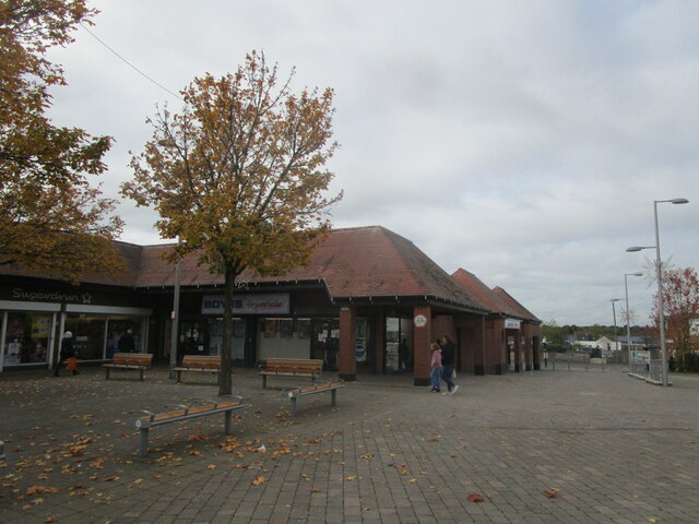
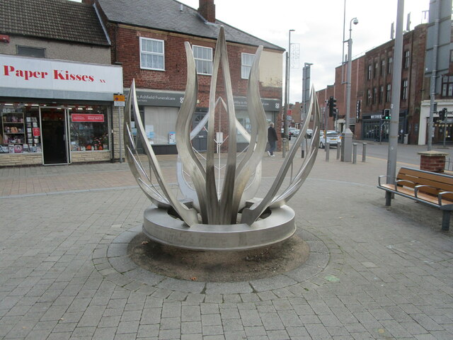
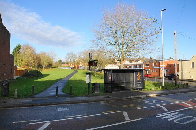
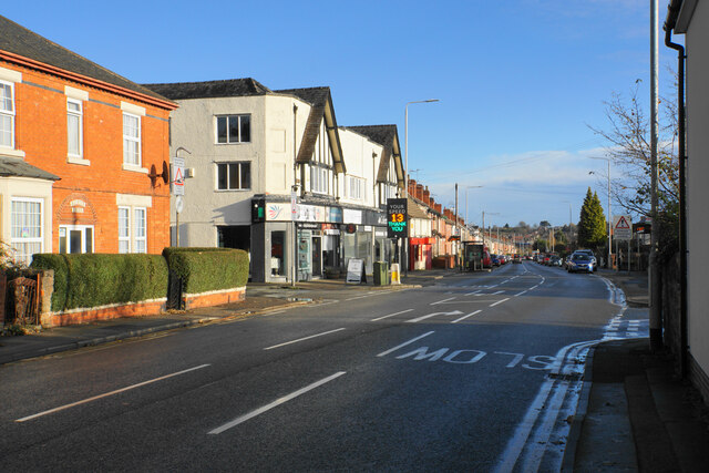
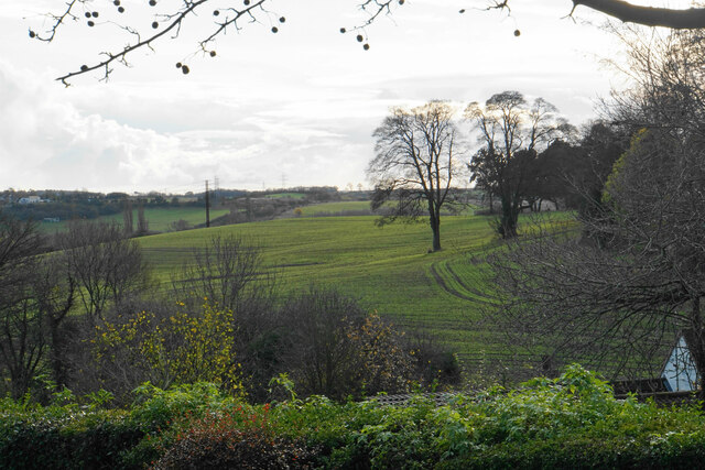
Kirkby-in-Ashfield offers a range of amenities for its residents, including schools, healthcare facilities, shops, and recreational spaces. The town's market square is a focal point, hosting a weekly market and various community events throughout the year. The area is also surrounded by beautiful countryside, with several parks and nature reserves nearby, providing opportunities for outdoor activities.
Overall, Kirkby-in-Ashfield is a vibrant and historically significant town, offering a mix of heritage, amenities, and a strong sense of community.
If you have any feedback on the listing, please let us know in the comments section below.
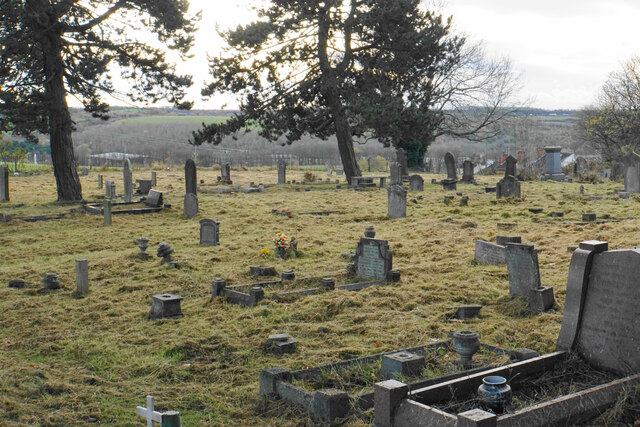
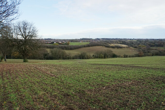
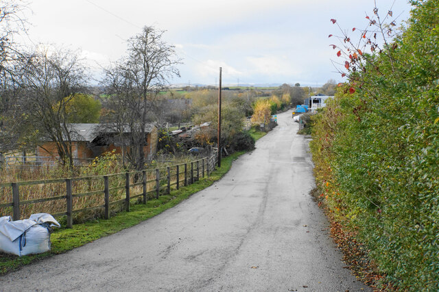
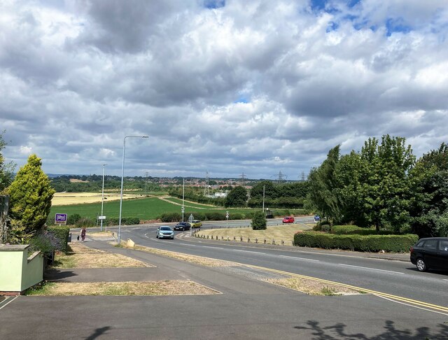
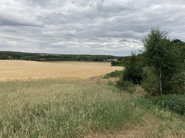
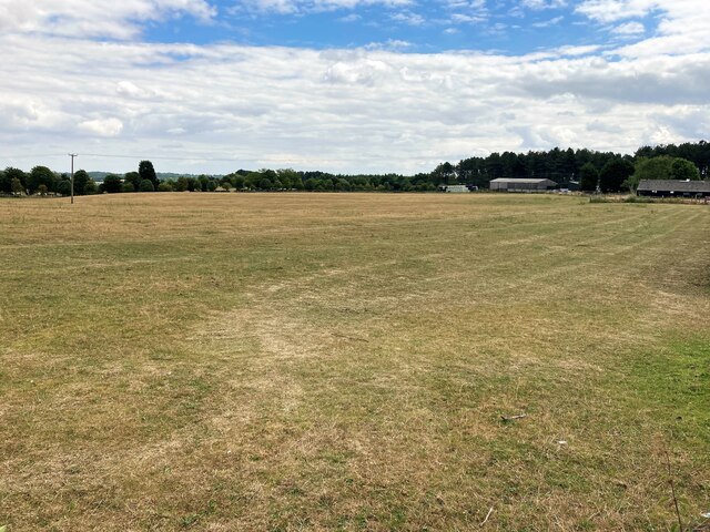
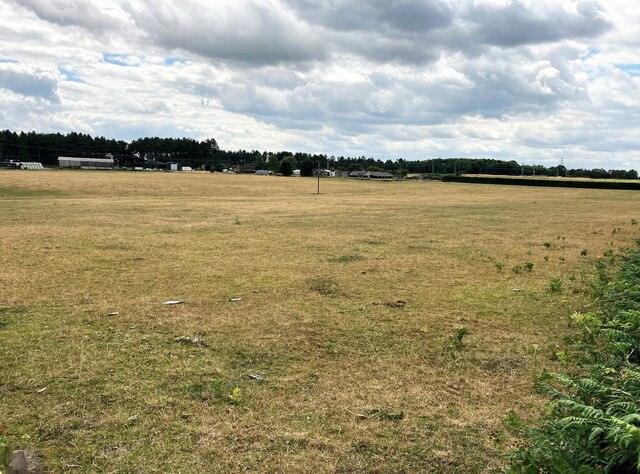
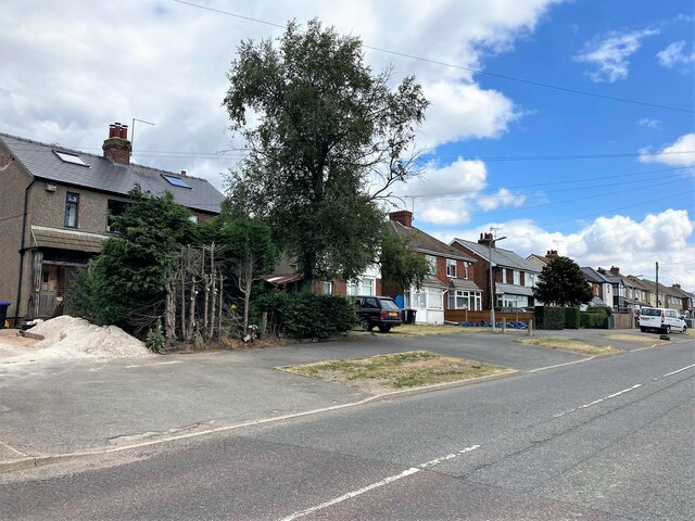
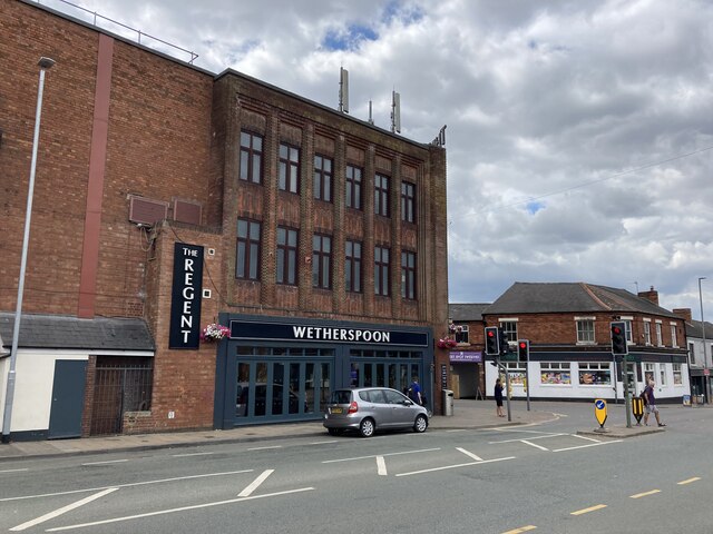
Kirkby-in-Ashfield Images
Images are sourced within 2km of 53.098802/-1.244387 or Grid Reference SK5056. Thanks to Geograph Open Source API. All images are credited.
Kirkby-in-Ashfield is located at Grid Ref: SK5056 (Lat: 53.098802, Lng: -1.244387)
Administrative County: Nottinghamshire
District: Ashfield
Police Authority: Nottinghamshire
What 3 Words
///supper.chains.really. Near Kirkby in Ashfield, Nottinghamshire
Nearby Locations
Related Wikis

Kirkby-in-Ashfield
Kirkby-in-Ashfield is a market town in the Ashfield District of Nottinghamshire, England. With a population of 25,265 (according to the 2001 National Census...

Outwood Academy Kirkby
Outwood Academy Kirkby (formerly Kirkby Comprehensive School and then Kirkby College) is a mixed secondary school located in Kirkby-in-Ashfield town centre...
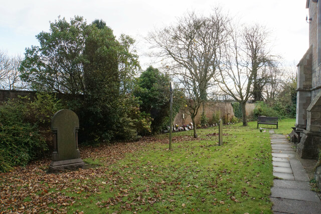
St Thomas' Church, Kirkby-in-Ashfield
St Thomas’ Church, Kirkby-in-Ashfield is a parish church in the Church of England in Kirkby-in-Ashfield, Nottinghamshire. == History == The foundation...

Kirkby-in-Ashfield East railway station
Kirkby-in-Ashfield East railway station was a station in Kirkby-in-Ashfield, Nottinghamshire. It was opened in 1848, and was located on the Midland Railway...

Kirkby-in-Ashfield railway station
Kirkby-in-Ashfield railway station serves the town of Kirkby-in-Ashfield in Nottinghamshire, England. The station is on the Robin Hood Line and is operated...

Kirkby-in-Ashfield Central railway station
Kirkby-in-Ashfield Central is a former railway station that served the town of Kirkby-in-Ashfield, Nottinghamshire. == History == The station was opened...
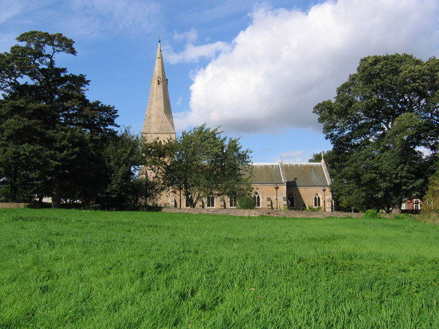
St Wilfrid's Church, Kirkby-in-Ashfield
St Wilfrid's Church, Kirkby-in-Ashfield is a parish church in the Church of England in Kirkby-in-Ashfield, Nottinghamshire. The church is Grade II listed...

Sutton Parkway railway station
Sutton Parkway railway station serves the town of Sutton-in-Ashfield in Nottinghamshire, England. The station is about 1⁄2 mile (800 m) south of the location...
Nearby Amenities
Located within 500m of 53.098802,-1.244387Have you been to Kirkby-in-Ashfield?
Leave your review of Kirkby-in-Ashfield below (or comments, questions and feedback).