Kirkby-le-Soken
Settlement in Essex Tendring
England
Kirkby-le-Soken
Kirkby-le-Soken is a small village located in the district of Tendring, in the county of Essex, England. Situated approximately 12 miles northeast of Colchester, the village is surrounded by picturesque countryside and offers a peaceful and idyllic setting for its residents.
With a population of around 500 inhabitants, Kirkby-le-Soken is known for its close-knit community and friendly atmosphere. The village features a mix of traditional and modern architecture, including charming cottages and newer residential developments.
The heart of Kirkby-le-Soken is its historic parish church, St. Michael and All Angels, which dates back to the 12th century. The church is a prominent landmark in the village and attracts visitors with its stunning architecture and rich history.
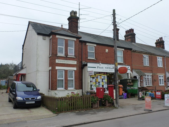
The village also has a primary school, providing education for local children, and a village hall that serves as a hub for community events and gatherings. Additionally, Kirkby-le-Soken has a small convenience store that caters to the daily needs of its residents.
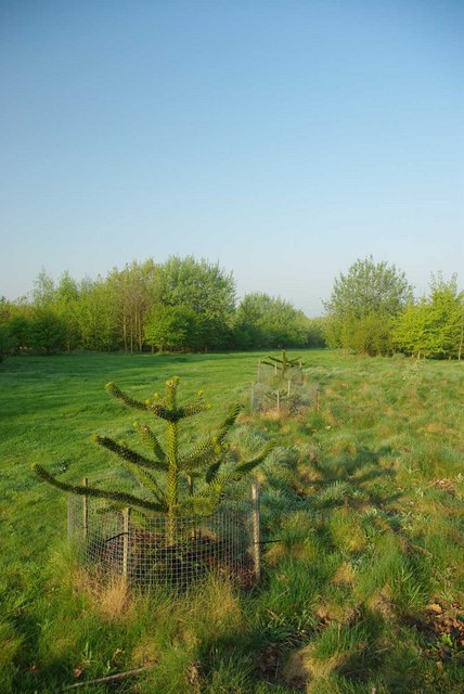
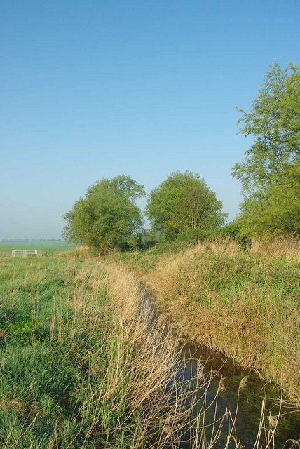
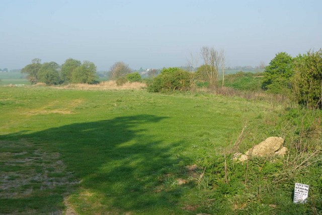
Surrounded by beautiful countryside, Kirkby-le-Soken offers ample opportunities for outdoor activities such as walking, cycling, and exploring nature. The nearby coastal town of Frinton-on-Sea is just a short drive away and provides access to stunning beaches and seaside attractions.
Overall, Kirkby-le-Soken is a charming and peaceful village in Essex, offering a close-knit community, historic landmarks, and easy access to both rural and coastal amenities.
If you have any feedback on the listing, please let us know in the comments section below.
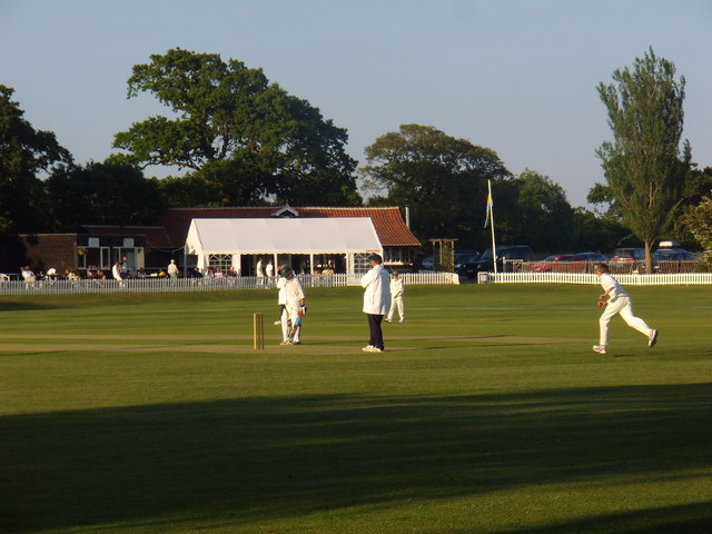
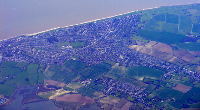
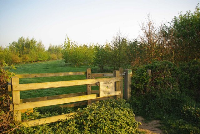
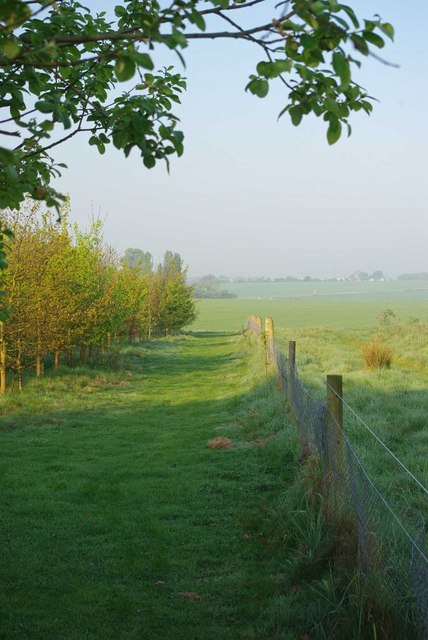
Kirkby-le-Soken Images
Images are sourced within 2km of 51.851651/1.2306832 or Grid Reference TM2221. Thanks to Geograph Open Source API. All images are credited.


Kirkby-le-Soken is located at Grid Ref: TM2221 (Lat: 51.851651, Lng: 1.2306832)
Administrative County: Essex
District: Tendring
Police Authority: Essex
What 3 Words
///firework.october.overhead. Near Walton-on-the-Naze, Essex
Nearby Locations
Related Wikis
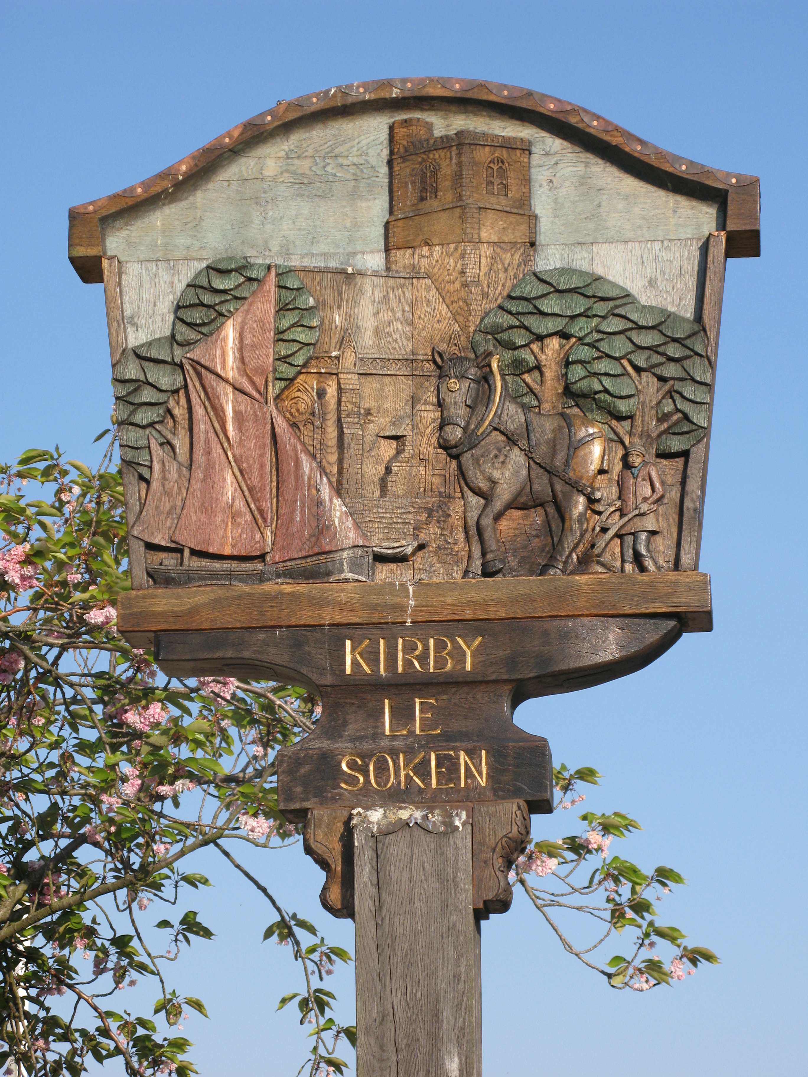
Kirby-le-Soken
Kirby-le-Soken is a village and former civil parish, now in the parish of Frinton and Walton, in the Tendring district of North East Essex, England, which...

Harwich (UK Parliament constituency)
Harwich was a parliamentary constituency represented in the House of Commons of the Parliament of the United Kingdom until its abolition for the 2010...

The Sokens
The Sokens is a name often used to describe the area containing the traditional parishes of Thorpe, Kirby and Walton, which now lie in Tendring district...

Kirby Cross
Kirby Cross is a village in Tendring district, Essex, England. It is situated near to Kirby-le-Soken and Frinton-on-Sea. Historically, Kirby Cross was...
Tendring Technology College
Tendring Technology College is a secondary school with Sixth Form College located in Essex, England. It is one of the six secondary schools in the Tendring...

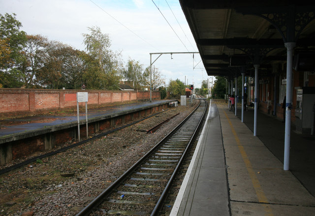
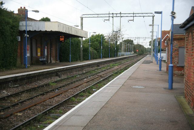
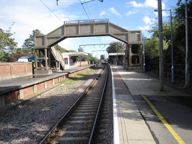
Kirby Cross railway station
Kirby Cross railway station is on the Walton branch of the Sunshine Coast Line in the East of England, serving the village of Kirby Cross, Essex. It is...

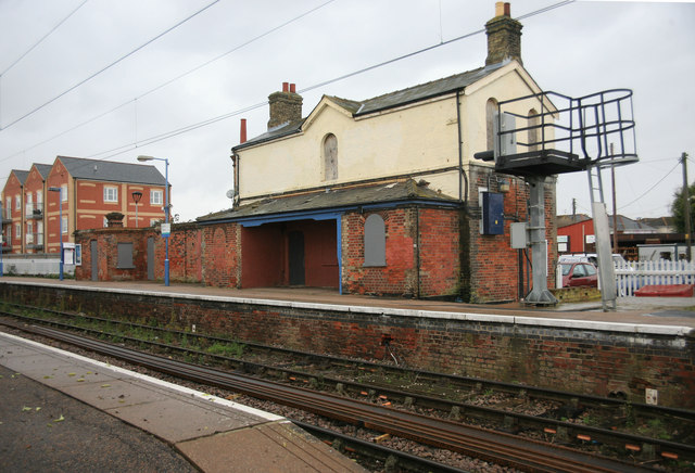
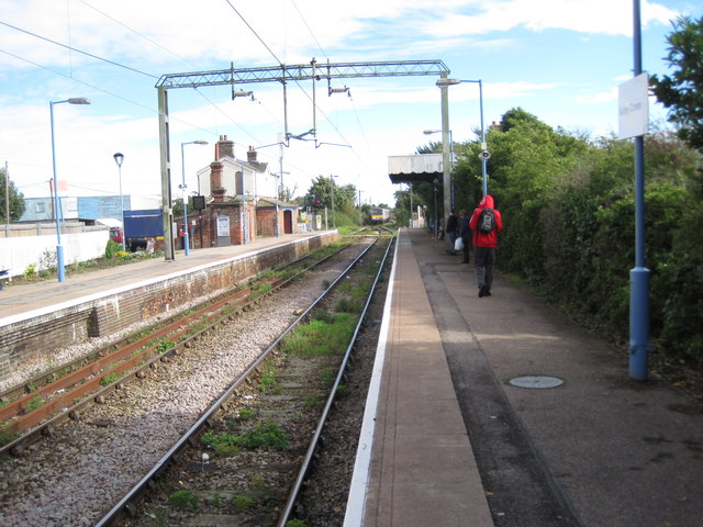
Frinton-on-Sea railway station
Frinton-on-Sea railway station is on the Walton branch of the Sunshine Coast Line in the East of England, serving the seaside town of Frinton-on-Sea, Essex...

Frinton and Walton
Frinton and Walton is a civil parish in the Tendring district of Essex, England. It is a successor parish, established in 1974 to replace the Frinton and...
Nearby Amenities
Located within 500m of 51.851651,1.2306832Have you been to Kirkby-le-Soken?
Leave your review of Kirkby-le-Soken below (or comments, questions and feedback).