Kinwarton

Settlement in Warwickshire Stratford-on-Avon

England

Kinwarton

Ploughed field south of the Arden Way
Ploughed field south of the Arden Way Credit: Trevor Rickard

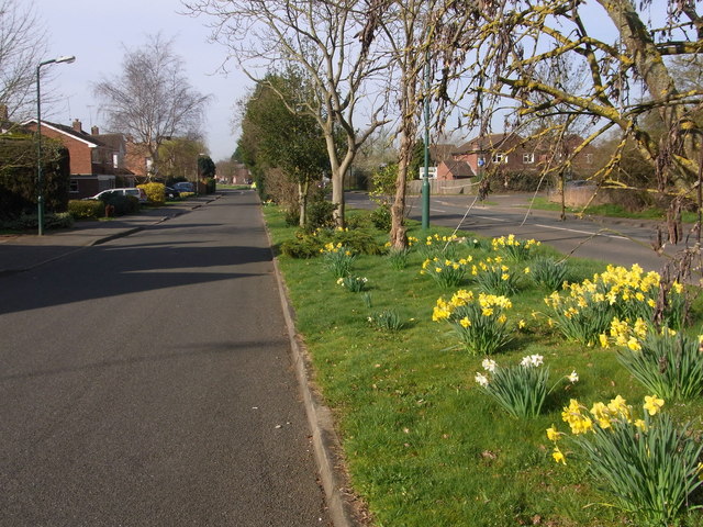
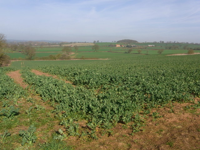
Kinwarton is a small village located in the Stratford-on-Avon district of Warwickshire, England. Situated approximately three miles southwest of Alcester, the village is nestled in a picturesque rural setting, surrounded by lush green fields and rolling hills. It lies on the banks of the River Arrow, adding to its scenic charm.

The village has a long and rich history, dating back to the medieval period. Its name is derived from the Old English words "cyne" and "weard-tun," meaning "the royal manor." Kinwarton was mentioned in the Domesday Book of 1086, where it is listed as having 19 households.

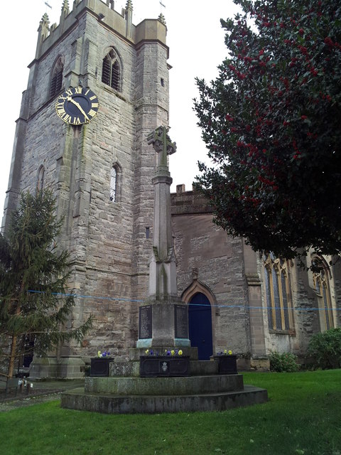
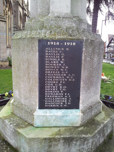
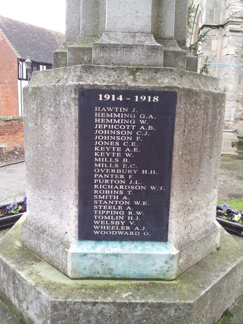
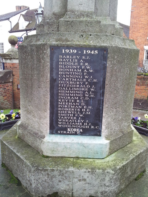
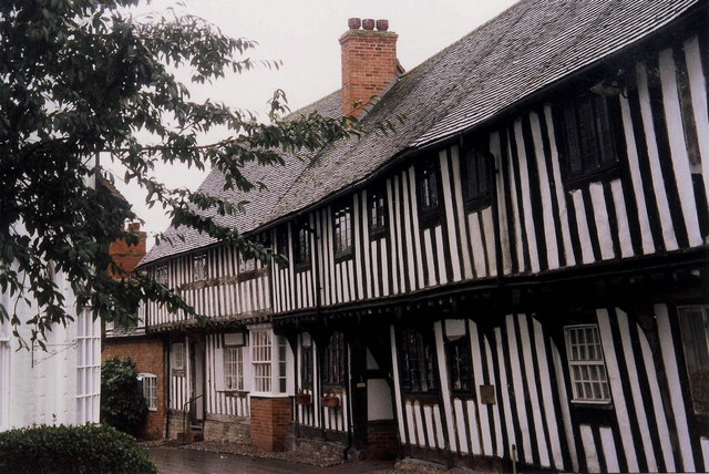
Today, Kinwarton remains a small, close-knit community with a population of around 300 residents. It boasts a peaceful and tranquil atmosphere, making it an ideal place for those seeking a quieter way of life. The village is known for its well-preserved historic buildings, including the beautiful St. Mary's Church, which dates back to the 12th century. The church features impressive stained glass windows and a picturesque churchyard.

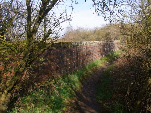
Despite its small size, Kinwarton offers a range of amenities for its residents. These include a village hall, a primary school, and a pub, which serves as a popular meeting place for locals. The surrounding countryside provides ample opportunities for outdoor activities such as walking, cycling, and exploring the nearby Alcester Forest.

Overall, Kinwarton offers a charming and idyllic rural lifestyle, steeped in history and natural beauty. Its peaceful atmosphere and strong sense of community make it a highly desirable place to live.

If you have any feedback on the listing, please let us know in the comments section below.

Kinwarton Images

Images are sourced within 2km of 52.223874/-1.8511471 or Grid Reference SP1058. Thanks to Geograph Open Source API. All images are credited.

Ploughed field south of the Arden Way
Red Cross Shop, Alcester The Red Cross shop in Alcester is housed in a black and white beamed building on the High Street
Red Cross Shop, Alcester
The Red Cross shop in Alcester is housed in a black and white beamed building on the High Street
St Nicholas Church, Alcester Standing on the High St in Alcester is St Nicholas Church. The clock is placed in an unusual position on a corner of the tower, but located there it is visible for the length of the High St
St Nicholas Church, Alcester
Standing on the High St in Alcester is St Nicholas Church. The clock is placed in an unusual position on a corner of the tower, but located there it is visible for the length of the High St
Shops in Alcester Modern educationally-oriented shops on Bulls Head Yard at the north end of the town's main car park; they offer schoolwear, crafts and stationery, and activity toys.
Shops in Alcester
Modern educationally-oriented shops on Bulls Head Yard at the north end of the town's main car park; they offer schoolwear, crafts and stationery, and activity toys.
Church Street, Alcester On a rainy day
Church Street, Alcester
On a rainy day
Alcester war memorial in the grounds of St Nicholas Church
Names on the Alcester War Memorial 1 Close up of the War Memorial <a href="https://www.geograph.org.uk/photo/2806956">SP0957 : Alcester war memorial in the grounds of St Nicholas Church</a>
Names on the Alcester War Memorial 1
Names on the Alcester War Memorial 2 Close up of the War Memorial <a href="https://www.geograph.org.uk/photo/2806956">SP0957 : Alcester war memorial in the grounds of St Nicholas Church</a>
Names on the Alcester War Memorial 2
Names on the Alcester War Memorial 3 Close up of the War Memorial <a href="https://www.geograph.org.uk/photo/2806956">SP0957 : Alcester war memorial in the grounds of St Nicholas Church</a>
Names on the Alcester War Memorial 3
Names on the Alcester War Memorial 4 Close up of the War Memorial <a href="https://www.geograph.org.uk/photo/2806956">SP0957 : Alcester war memorial in the grounds of St Nicholas Church</a>
Names on the Alcester War Memorial 4
St Nicholas Church, Alcester Photographed from the rear
St Nicholas Church, Alcester
Photographed from the rear
Alcester High Street
St Nicholas Church & Church Street, Alcester
Medieval houses, Malt Mill Lane, Alcester
Service road, by Captain's Hill,  Alcester Spring show of daffodils by the B4089.
Service road, by Captain's Hill, Alcester
Spring show of daffodils by the B4089.
Parapet of  former railway bridge Now just a footpath and quite overgrown.
Parapet of former railway bridge
Now just a footpath and quite overgrown.
Coughton Fields from the footpath
Church Farm drive on right, from path across field
Show me another place!

Kinwarton is located at Grid Ref: SP1058 (Lat: 52.223874, Lng: -1.8511471)

Administrative County: Warwickshire

District: Stratford-on-Avon

Police Authority: Warwickshire

What 3 Words

///assurance.workers.detriment. Near Alcester, Warwickshire

Related Wikis

Alcester Academy

Alcester Academy (formerly known as Alcester High School Technology College) is a state secondary school that educates girls and boys aged between 11 and...

Kinwarton Dovecote

Kinwarton Dovecote is circular 14th-century dovecote situated on the edge of the village of Kinwarton, near Alcester, Warwickshire, England. The dovecote...

Alne End

Alne End is a village in Warwickshire, England. Population details can be found under Great Alne.

St Benedict's Catholic High School, Alcester

St Benedict's Catholic High School is a co-educational Roman Catholic secondary school and sixth form. It is located in Alcester in the English county...

Alcester Town F.C.

Alcester Town Football Club is a football club based in Alcester, Warwickshire, England. They are currently members of the Midland League Division Two...
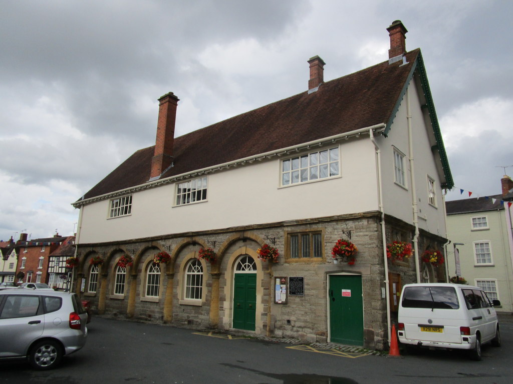
Alcester Town Hall

Alcester Town Hall is the town hall of Alcester, Warwickshire, England. It is a grade I listed building. == History == The lower part of the two-storey...

Great Alne railway station

Great Alne Railway Station was a station in the village of Great Alne in Warwickshire on the Great Western Railway line from Alcester, Warwickshire to...
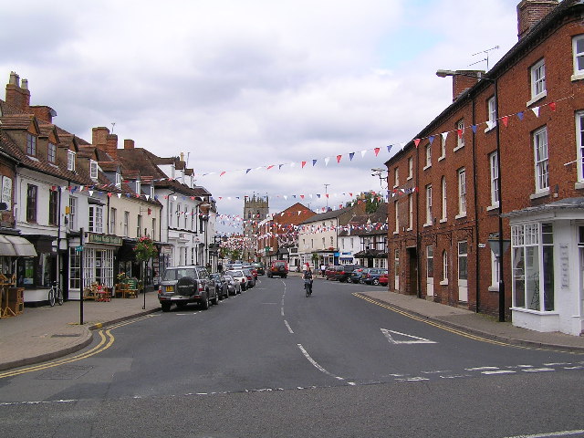
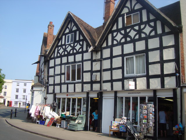
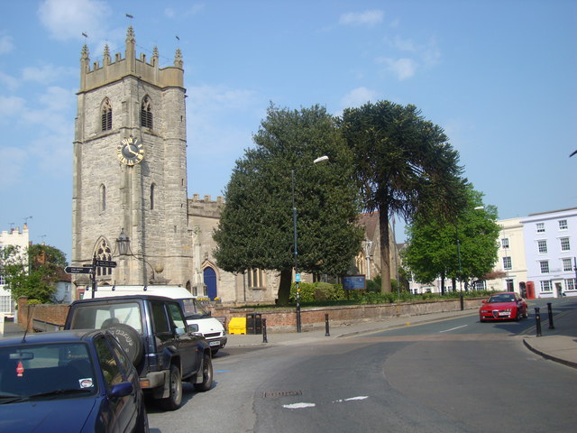
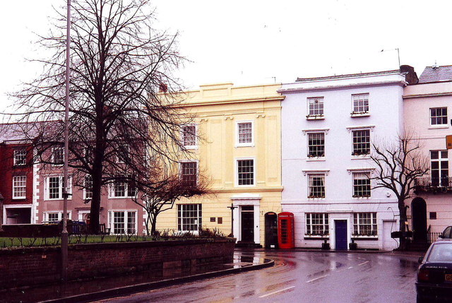
Alcester

Alcester ( ) is a market town and civil parish in the Stratford-on-Avon District in Warwickshire, England. It is 8 mi (13 km) west of Stratford-upon-Avon...

Nearby Amenities

Located within 500m of 52.223874,-1.8511471
Barrier: kissing_gate
Lat/Long: 52.2251559/-1.8567887
Power: pole
Lat/Long: 52.224386/-1.8440771
Power: pole
Lat/Long: 52.2255546/-1.845405
Power: pole
Lat/Long: 52.2268038/-1.8480527
Power: pole
Lat/Long: 52.227697/-1.8522553
Power: pole
Lat/Long: 52.2261789/-1.8467166
Power: pole
Lat/Long: 52.2272682/-1.8502035
Man Made: survey_point
Ref: S5506
Source: survey
Lat/Long: 52.2241039/-1.8580505
Barrier: kissing_gate
Lat/Long: 52.2238988/-1.8472803
Post Box
Collection Times: Mo-Fr 09:00; Sa 07:00
Operator: Royal Mail
Post Box Type: lamp
Ref: B49 56D
Royal Cypher: EIIR
Royal Cypher Wikidata: Q33102113
Source: survey
Lat/Long: 52.2239718/-1.8509378
Power: pole
Source: Warwicks CC Aerial Imagery 2013
Lat/Long: 52.2232825/-1.8480971
Power: pole
Source: Warwicks CC Aerial Imagery 2013
Lat/Long: 52.2235614/-1.8477857
Power: pole
Source: Warwicks CC Aerial Imagery 2013
Lat/Long: 52.2238425/-1.8474889
Power: pole
Source: Warwicks CC Aerial Imagery 2013
Lat/Long: 52.2248902/-1.8466894
Power: pole
Lat/Long: 52.2241829/-1.8532707
Power: pole
Ref: 774118
Source: wpd_opendata
Transformer: distribution
Lat/Long: 52.2243619/-1.8517679
Power: pole
Ref: 774113
Source: wpd_opendata
Transformer: distribution
Lat/Long: 52.2245058/-1.8505201
Power: pole
Lat/Long: 52.2244283/-1.8487056
Power: pole
Source: Warwicks CC Aerial Imagery 2013
Lat/Long: 52.2242872/-1.8453159
Kinwarton Pumps
Power: pole
Source: Warwicks CC Aerial Imagery 2013
Transformer: distribution
Voltage Primary: 11000
Lat/Long: 52.2243494/-1.846792
Barrier: stile
Foot: designated
Horse: permissive
Material: wood
Motor Vehicle: no
Stile: stepover_with_missing_post
Lat/Long: 52.2239051/-1.8473317
Barrier: stile
Foot: designated
Lat/Long: 52.2259979/-1.8493559
Power: pole
Source: bing
Lat/Long: 52.2233535/-1.8582907
Power: pole
Ref: 773518
Source: wpd_opendata
Transformer: distribution
Lat/Long: 52.2238037/-1.856373
Power: pole
Source: bing
Lat/Long: 52.2240304/-1.8547985
The data included in this document is from www.openstreetmap.org. The data is made available under ODbL.

Have you been to Kinwarton?

Leave your review of Kinwarton below (or comments, questions and feedback).