Killiechronan

Settlement in Argyllshire

Scotland

Killiechronan

Killiechronan camp site A simple site that does not need commitment to use.  The sort that is all too rare and all too needed now.
Killiechronan camp site Credit: Richard Webb

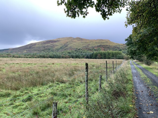
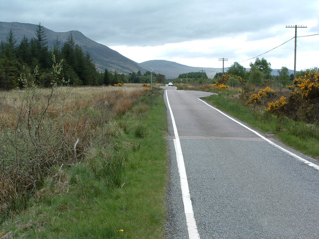
Killiechronan is a small village located in Argyllshire, Scotland. Situated on the western coast, it lies approximately 8 miles north of the town of Oban. The village is nestled amongst stunning natural surroundings, with picturesque views of Loch Na Keal and the surrounding mountains.

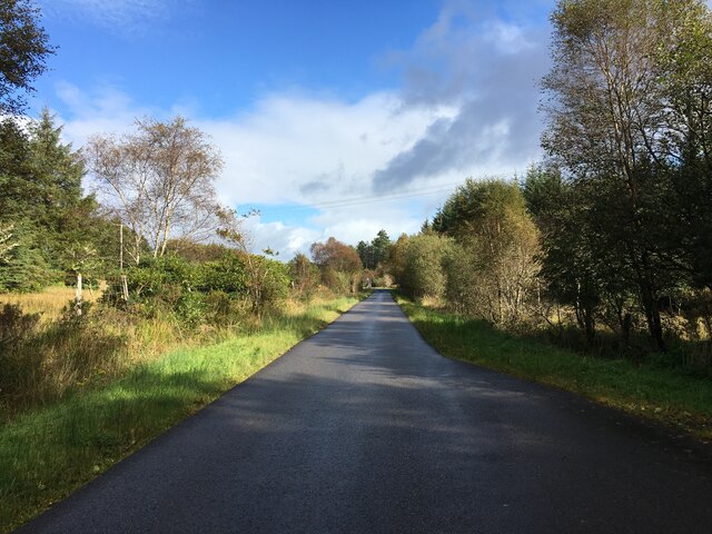
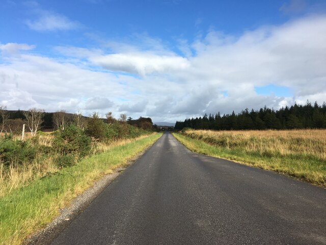
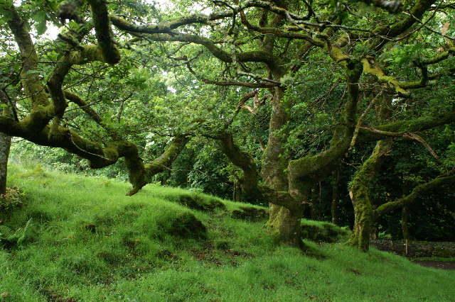
The main attraction of Killiechronan is its beautiful countryside, which offers ample opportunities for outdoor activities such as hiking, fishing, and birdwatching. The area is rich in wildlife, and visitors often spot eagles, otters, and red deer in their natural habitats.

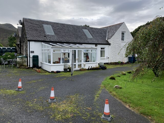
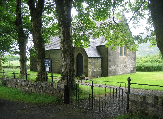
Although a small village, Killiechronan boasts a strong sense of community. The village has a charming, rustic feel, with traditional stone houses and a small local pub where residents and visitors can gather and socialize. The pub often hosts live music events, adding to the lively atmosphere.

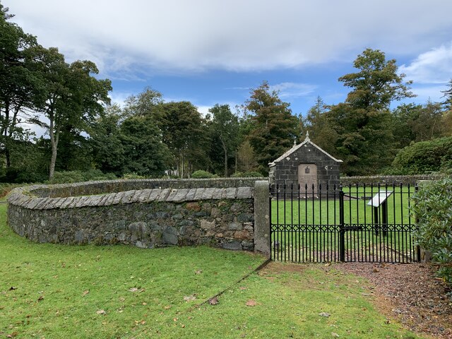
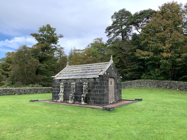
The village is also home to a well-preserved ancient monument, the Killiechronan Iron Age Fort. This historic site offers a glimpse into the area's rich history and provides a fascinating insight into the lives of its inhabitants thousands of years ago.

Killiechronan is an ideal destination for those seeking a peaceful retreat in the midst of Scotland's natural beauty. Its proximity to Oban also ensures easy access to amenities and transportation links, making it a convenient base for exploring the wider region of Argyllshire.

If you have any feedback on the listing, please let us know in the comments section below.

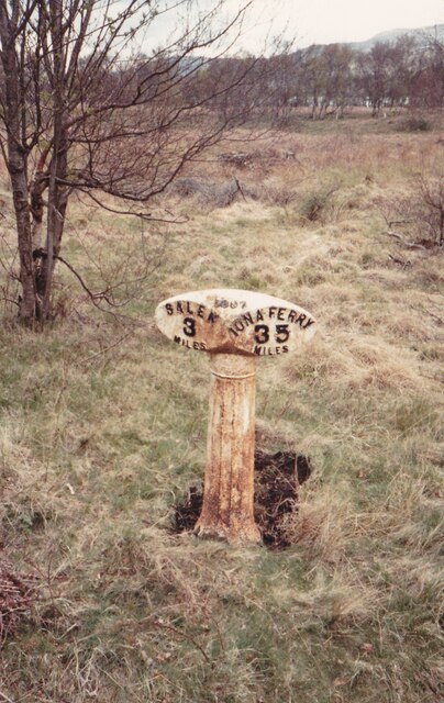
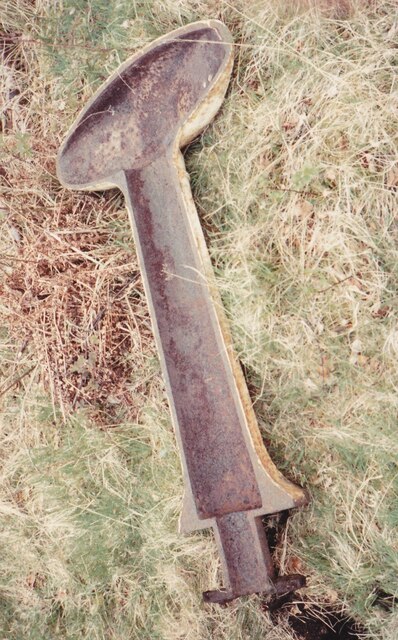
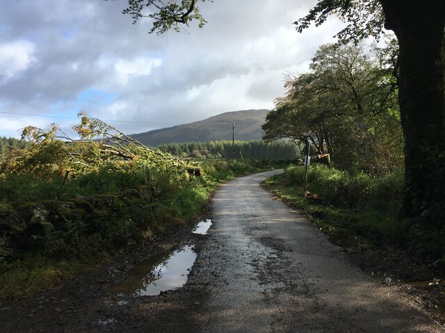
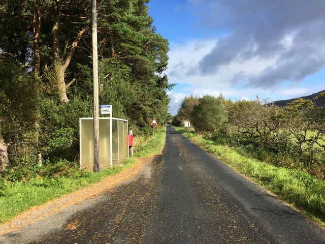
Killiechronan Images

Images are sourced within 2km of 56.498748/-6.000692 or Grid Reference NM5341. Thanks to Geograph Open Source API. All images are credited.

Killiechronan camp site A simple site that does not need commitment to use.  The sort that is all too rare and all too needed now.
Killiechronan camp site
A simple site that does not need commitment to use. The sort that is all too rare and all too needed now.
Track to Gruline Home Farm Near Gruline.
Track to Gruline Home Farm
Near Gruline.
MacQuarrie Mausoleum Category A listed. Listing number LB17942. 
Dating from 1824, the mausoleum of Major General MacQuarrie of Jarvisfield. (c. 1760-1824), who was a Governor of New South Wales 1809-1821.
MacQuarrie Mausoleum
Category A listed. Listing number LB17942. Dating from 1824, the mausoleum of Major General MacQuarrie of Jarvisfield. (c. 1760-1824), who was a Governor of New South Wales 1809-1821.
Macquarie Mausoleum Category A Listed. Memorial to Major General MacQuarrie of Jarvisfield. (c. 1760-1824), who was a Governor of New South Wales 1809-1821.
Macquarie Mausoleum
Category A Listed. Memorial to Major General MacQuarrie of Jarvisfield. (c. 1760-1824), who was a Governor of New South Wales 1809-1821.
Stable Cottage Part of Gruline Home Farm.
Stable Cottage
Part of Gruline Home Farm.
Old milepost A photograph taken in the 1980s or 90s of the now missing 1897 milepost which was on the B8035 near Gruline just north of the Standing Stone.
Old milepost
A photograph taken in the 1980s or 90s of the now missing 1897 milepost which was on the B8035 near Gruline just north of the Standing Stone.
Old milepost A view of the back of the 3 mile post after it had been laid down.   This shows how the casting was made at the Smith Patterson, Blaydon foundry and the very short section that was set under ground level.
Old milepost
A view of the back of the 3 mile post after it had been laid down. This shows how the casting was made at the Smith Patterson, Blaydon foundry and the very short section that was set under ground level.
B8073 towards Killiechronan
Field near Killiechronan
B8073 at Killiechronan
Bus stop beside the B8035
B8035 towards Salen
B8035 towards Salen
B8035 towards Salen
B8035 towards Salen
St Columba's Church, Gruline, Isle of Mull
River Ba Estuary at Killiekronan On the left is the Killiekronan campsite. In the middle of the picture is the river bed still marked as the course of the river on the OS map. A few years age the river broke through a shingle bank in a storm making a shorter route into Loch na Keal. The new position of the River can be seen on the extreme right
River Ba Estuary at Killiekronan
On the left is the Killiekronan campsite. In the middle of the picture is the river bed still marked as the course of the river on the OS map. A few years age the river broke through a shingle bank in a storm making a shorter route into Loch na Keal. The new position of the River can be seen on the extreme right
Trees behind Killichronan Hotel This is shortly after the start of the foot path from Killichronan to Salen
Trees behind Killichronan Hotel
This is shortly after the start of the foot path from Killichronan to Salen
Straight bit of road! The hidden dips make it a bit dangerous when trying to overtake though.
Straight bit of road!
The hidden dips make it a bit dangerous when trying to overtake though.
Seat, Loch na Keal Looking across the loch to Glen Cannel.
Seat, Loch na Keal
Looking across the loch to Glen Cannel.
Show me another place!

Killiechronan is located at Grid Ref: NM5341 (Lat: 56.498748, Lng: -6.000692)

Unitary Authority: Argyll and Bute

Police Authority: Argyll and West Dunbartonshire

What 3 Words

///stilted.reader.vocals. Near Salen, Argyll & Bute

Related Wikis

Inner Hebrides

The Inner Hebrides ( HEB-rid-eez; Scottish Gaelic: na h-Eileanan a-staigh, lit. 'the Inner Isles') is an archipelago off the west coast of mainland Scotland...

Easan Labhar

Easan Labhar is a series of waterfalls on the island of Mull, Scotland. It lies on the Allt an Easain Labhair near Gruline west of Salen. There are also...

Salen, Mull

Salen (Scottish Gaelic: An t-Sàilean) is a settlement on the Isle of Mull, Scotland. It is on the east coast of the island, on the Sound of Mull, approximately...

Aros Castle

Aros Castle, also known as Dounarwyse Castle, is a ruined 13th-century castle near Salen on the Isle of Mull, Scotland. The castle overlooks the Sound...

Nearby Amenities

Located within 500m of 56.498748,-6.000692
Source: PGS
Lat/Long: 56.4944552/-6.0021609
Source: PGS
Lat/Long: 56.4946116/-6.0020535
Source: PGS
Lat/Long: 56.4950124/-6.001916
Source: PGS
Lat/Long: 56.4963539/-6.002978
Source: PGS
Lat/Long: 56.4970707/-6.0028283
Place: farm
Lat/Long: 56.4999064/-6.0006401
Generator Output Electricity: yes
Generator Source: solar
Generator Type: solar_photovoltaic_panel
Location: roof
Power: generator
Lat/Long: 56.5000656/-6.000744
Power: pole
Lat/Long: 56.4999091/-5.9997511
Power: pole
Lat/Long: 56.499635/-5.9993348
Power: pole
Lat/Long: 56.4996998/-5.9979664
Power: pole
Lat/Long: 56.5001798/-5.997241
Power: pole
Lat/Long: 56.5005768/-5.9966495
Power: pole
Lat/Long: 56.5009817/-5.9960107
Power: pole
Lat/Long: 56.501249/-5.9950915
Power: pole
Lat/Long: 56.500314/-6.0001983
Power: pole
Lat/Long: 56.5006598/-6.0010123
Power: pole
Lat/Long: 56.5011068/-6.0021787
Power: pole
Lat/Long: 56.5016062/-6.0034152
Power: pole
Lat/Long: 56.5017017/-6.0045466
Power: pole
Lat/Long: 56.5018029/-6.0056389
The data included in this document is from www.openstreetmap.org. The data is made available under ODbL.

Have you been to Killiechronan?

Leave your review of Killiechronan below (or comments, questions and feedback).