Easan Labhar

Waterfall in Argyllshire

Scotland

Easan Labhar

Killiechronan camp site A simple site that does not need commitment to use.  The sort that is all too rare and all too needed now.
Killiechronan camp site Credit: Richard Webb

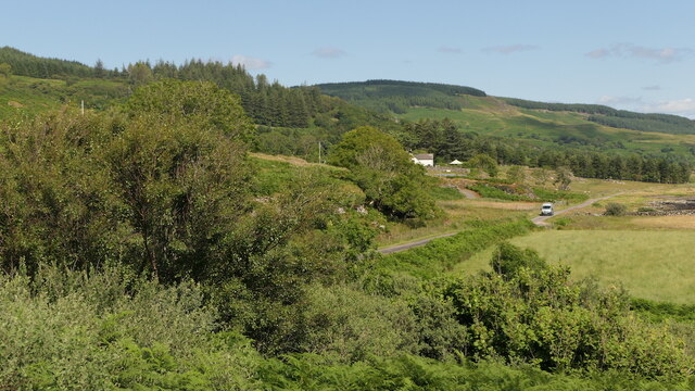
Easan Labhar is a picturesque waterfall located in Argyllshire, Scotland. Nestled amidst the stunning natural beauty of the Scottish Highlands, this waterfall is a popular tourist attraction for nature enthusiasts and adventure seekers alike.

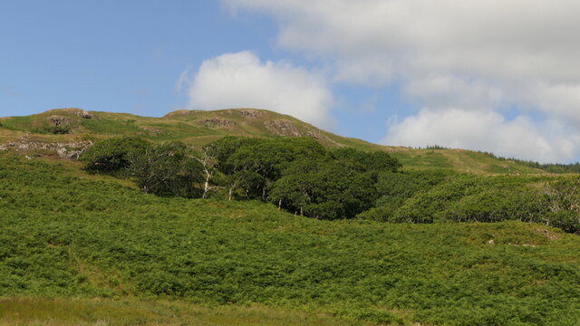
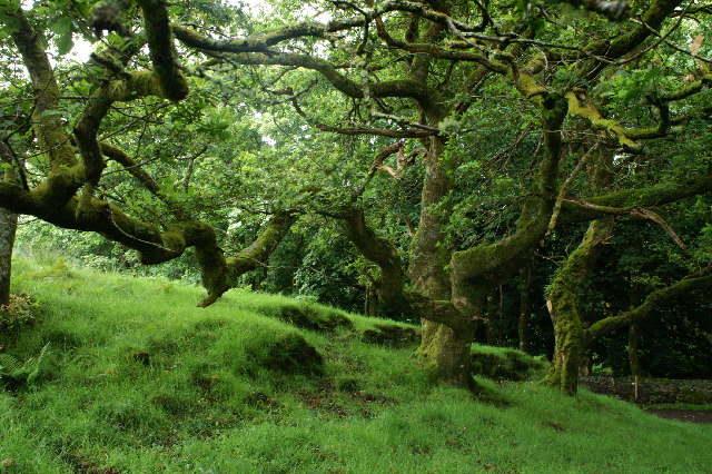
The waterfall can be found in a remote and pristine location, surrounded by lush greenery and towering cliffs. Its name, Easan Labhar, translates to "loud waterfall" in Gaelic, which aptly describes the thunderous sound created by the cascading water as it plunges into the pool below.

The waterfall is formed by the Labhar Burn, a small river that originates from the nearby mountains. As it flows down, the water tumbles over multiple rocky ledges, creating a series of beautiful cascades. The height of the waterfall varies depending on the season and rainfall, but it generally measures around 20 to 30 feet.

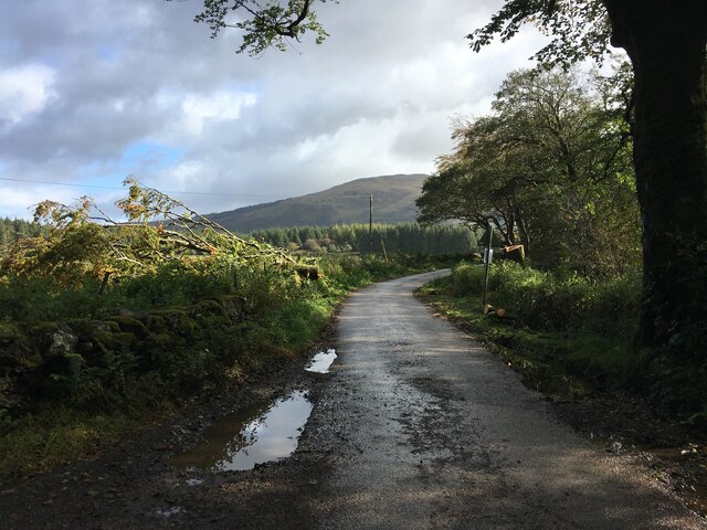
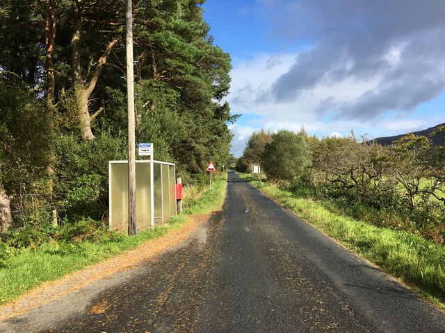
Visitors can reach Easan Labhar via a short and scenic hike through the rugged Highland terrain. The trail offers breathtaking views of the surrounding mountains and valleys, adding to the overall experience. Once at the waterfall, visitors can enjoy the sight and sound of the rushing water, as well as the tranquility of the natural surroundings.

Easan Labhar is not only a visual delight but also provides a habitat for various species of flora and fauna. The surrounding area is home to diverse wildlife, including red deer, golden eagles, and otters. Birdwatchers will also be delighted by the opportunity to spot a wide range of avian species in this area.

Overall, Easan Labhar is a captivating natural wonder that showcases the beauty and power of nature. Its remote location and awe-inspiring scenery make it a must-visit destination for anyone exploring the Argyllshire region of Scotland.

If you have any feedback on the listing, please let us know in the comments section below.

Easan Labhar Images

Images are sourced within 2km of 56.504188/-6.0129575 or Grid Reference NM5341. Thanks to Geograph Open Source API. All images are credited.

Killiechronan camp site A simple site that does not need commitment to use.  The sort that is all too rare and all too needed now.
Killiechronan camp site
A simple site that does not need commitment to use. The sort that is all too rare and all too needed now.
Kellan Seen from a car park overlooking Loch na Keal.
Kellan
Seen from a car park overlooking Loch na Keal.
Hillside above Kellan
B8073 towards Killiechronan
Field near Killiechronan
B8073 at Killiechronan
Bus stop beside the B8035
River Ba Estuary at Killiekronan On the left is the Killiekronan campsite. In the middle of the picture is the river bed still marked as the course of the river on the OS map. A few years age the river broke through a shingle bank in a storm making a shorter route into Loch na Keal. The new position of the River can be seen on the extreme right
River Ba Estuary at Killiekronan
On the left is the Killiekronan campsite. In the middle of the picture is the river bed still marked as the course of the river on the OS map. A few years age the river broke through a shingle bank in a storm making a shorter route into Loch na Keal. The new position of the River can be seen on the extreme right
Trees behind Killichronan Hotel This is shortly after the start of the foot path from Killichronan to Salen
Trees behind Killichronan Hotel
This is shortly after the start of the foot path from Killichronan to Salen
Seat, Loch na Keal Looking across the loch to Glen Cannel.
Seat, Loch na Keal
Looking across the loch to Glen Cannel.
Shore Below Kellan Wood
River Ba, Loch na Keal The outflow of the River Ba into the loch has completely changed since the OS Map was drawn. The river no longer flows north in a big loop before discharging into the loch but takes a more direct route. A significant slice of a field belonging to Killiechronan Farm has disappeared in the process. The farm can be seen in the distance.
River Ba, Loch na Keal
The outflow of the River Ba into the loch has completely changed since the OS Map was drawn. The river no longer flows north in a big loop before discharging into the loch but takes a more direct route. A significant slice of a field belonging to Killiechronan Farm has disappeared in the process. The farm can be seen in the distance.
Old Course of the River Ba The OS 1:25000 map shows the river flowing north west at this point but it is now taking a more direct linne to the loch. Leaving an elongated muddy pool at the MHWS mark.
Old Course of the River Ba
The OS 1:25000 map shows the river flowing north west at this point but it is now taking a more direct linne to the loch. Leaving an elongated muddy pool at the MHWS mark.
Farm Track to Fields, Killiechronan
Loch na Keal From the north shore near Kellan Old Farm to Glen Ba.
Loch na Keal
From the north shore near Kellan Old Farm to Glen Ba.
Shore Below Kellan Wood (SW View)
Heron Feeding at Low Tide, Kellan
River Ba At its mouth in Loch na Keal at low tide. In the distance in the photo is Glen Ba with Beinn Ghraig dominant at 591m
River Ba
At its mouth in Loch na Keal at low tide. In the distance in the photo is Glen Ba with Beinn Ghraig dominant at 591m
Show me another place!

Easan Labhar is located at Grid Ref: NM5341 (Lat: 56.504188, Lng: -6.0129575)

Unitary Authority: Argyll and Bute

Police Authority: Argyll and West Dunbartonshire

What 3 Words

///ambition.minute.meatballs. Near Salen, Argyll & Bute

Related Wikis

Easan Labhar

Easan Labhar is a series of waterfalls on the island of Mull, Scotland. It lies on the Allt an Easain Labhair near Gruline west of Salen. There are also...

Inner Hebrides

The Inner Hebrides ( HEB-rid-eez; Scottish Gaelic: na h-Eileanan a-staigh, lit. 'the Inner Isles') is an archipelago off the west coast of mainland Scotland...

Salen, Mull

Salen (Scottish Gaelic: An t-Sàilean) is a settlement on the Isle of Mull, Scotland. It is on the east coast of the island, on the Sound of Mull, approximately...

Aros Castle

Aros Castle, also known as Dounarwyse Castle, is a ruined 13th-century castle near Salen on the Isle of Mull, Scotland. The castle overlooks the Sound...

Nearby Amenities

Located within 500m of 56.504188,-6.0129575
Place: farm
Lat/Long: 56.5004572/-6.0136435
Power: pole
Lat/Long: 56.5019326/-6.0070773
Power: pole
Lat/Long: 56.5021817/-6.0081387
Power: pole
Lat/Long: 56.5024512/-6.0092453
Power: pole
Lat/Long: 56.502706/-6.0103458
Power: pole
Lat/Long: 56.5032008/-6.0115226
Power: pole
Lat/Long: 56.5035215/-6.0122871
Power: pole
Lat/Long: 56.5038707/-6.0130991
Power: pole
Lat/Long: 56.503526/-6.0136906
Power: pole
Lat/Long: 56.503037/-6.0144963
Power: pole
Lat/Long: 56.5022101/-6.0148446
Power: pole
Lat/Long: 56.5013514/-6.0152053
Power: pole
Lat/Long: 56.5006337/-6.0156854
Power: pole
Lat/Long: 56.5013525/-6.0151867
Power: pole
Lat/Long: 56.5014219/-6.0141068
Power: pole
Lat/Long: 56.5010556/-6.0138513
Power: pole
Lat/Long: 56.5006803/-6.0135793
Power: pole
Lat/Long: 56.5001798/-6.0160152
The data included in this document is from www.openstreetmap.org. The data is made available under ODbL.

Have you been to Easan Labhar?

Leave your review of Easan Labhar below (or comments, questions and feedback).