Killerby

Settlement in Yorkshire Scarborough

England

Killerby

Cayton, Methodist church The benchmark is cut into the stone course, and is partially hidden by the shrubbery.
Cayton, Methodist church Credit: Mel Towler

Killerby is a small village located in the picturesque Yorkshire countryside in England. Situated in the Richmondshire district, it is nestled between the towns of Catterick and North Cowton. The village is home to a tight-knit community that takes pride in its rural charm and peaceful ambiance.

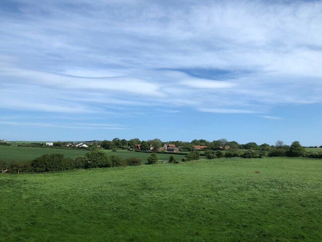
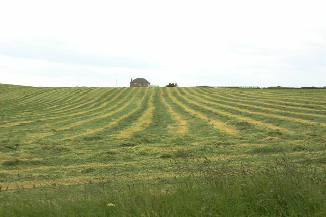
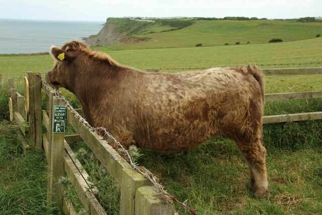
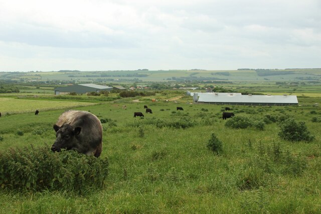
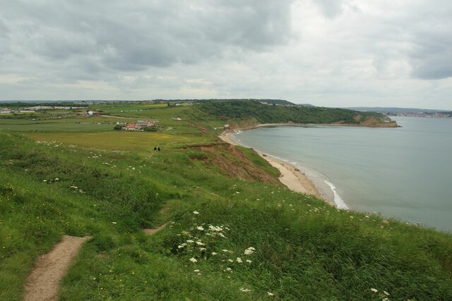
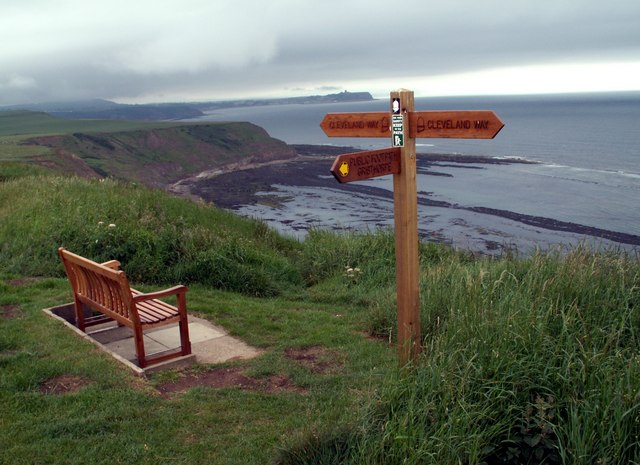
One of the defining features of Killerby is its stunning natural beauty. The village is surrounded by rolling hills, lush green fields, and meandering streams, making it an ideal destination for nature lovers and outdoor enthusiasts. The countryside offers a plethora of walking and hiking trails, providing residents and visitors with the opportunity to explore the scenic landscapes.

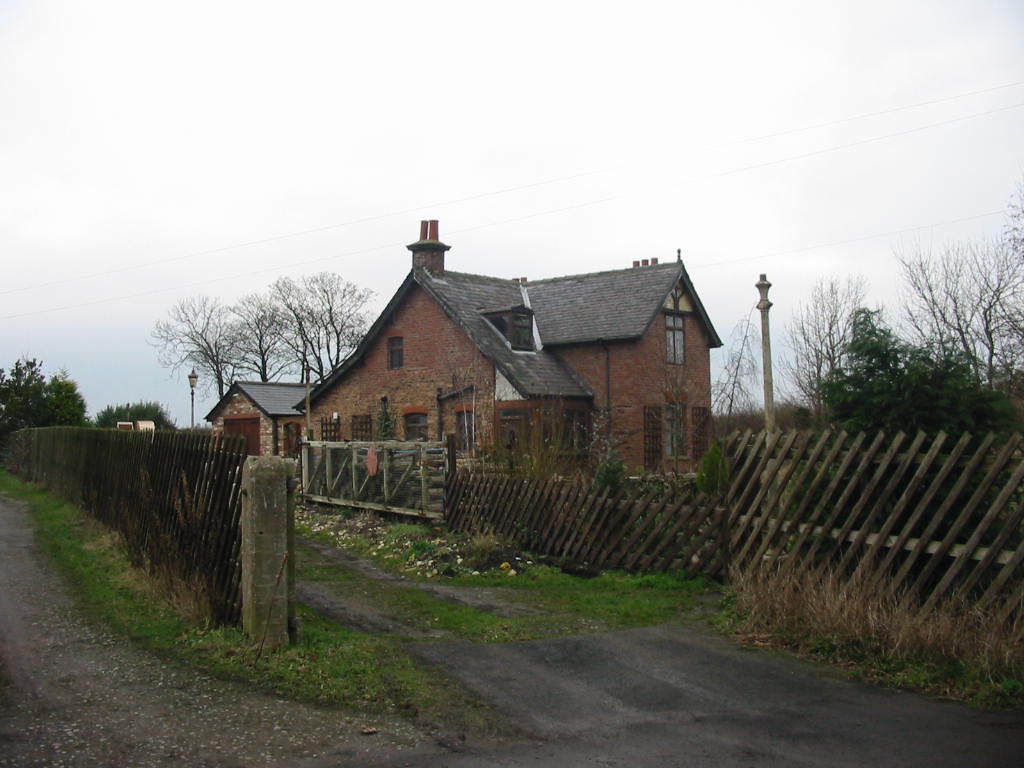
Despite its small size, Killerby boasts a rich history. The village dates back to the medieval period and retains several historic buildings and landmarks. St. Michael's Church, a Grade II listed building, stands as a testament to the village's heritage. Its beautiful architecture and peaceful atmosphere make it a popular spot for visitors seeking tranquility and cultural enrichment.

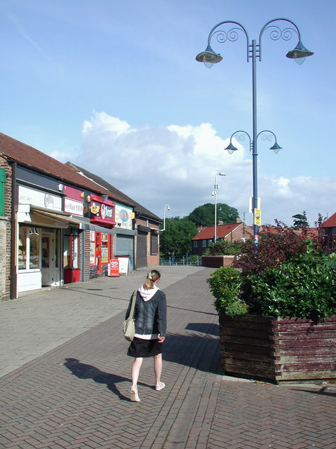
While Killerby is primarily a residential area, it is conveniently located near larger towns and cities, providing easy access to amenities and services. Nearby Catterick offers a range of shops, restaurants, and entertainment options, ensuring that residents have everything they need within a short distance.

In summary, Killerby is a charming village in the heart of Yorkshire, offering a peaceful countryside setting, a rich history, and easy access to nearby towns and cities. It is a place that captures the essence of rural England and provides a haven for those seeking a slower pace of life.

If you have any feedback on the listing, please let us know in the comments section below.
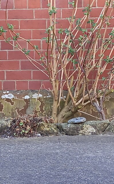
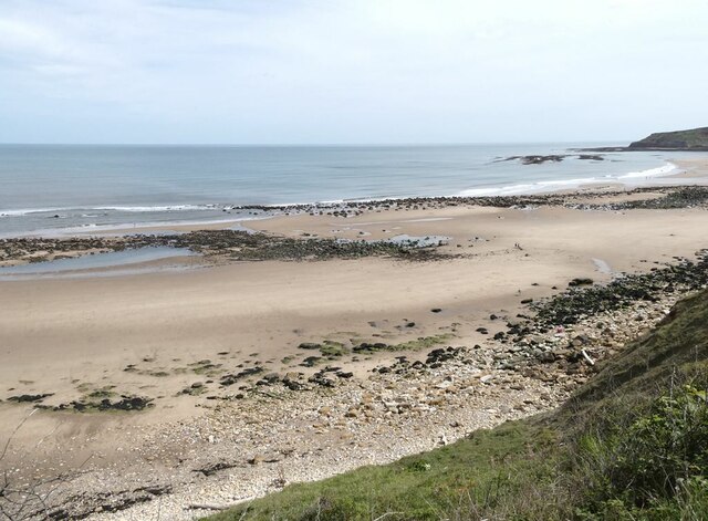
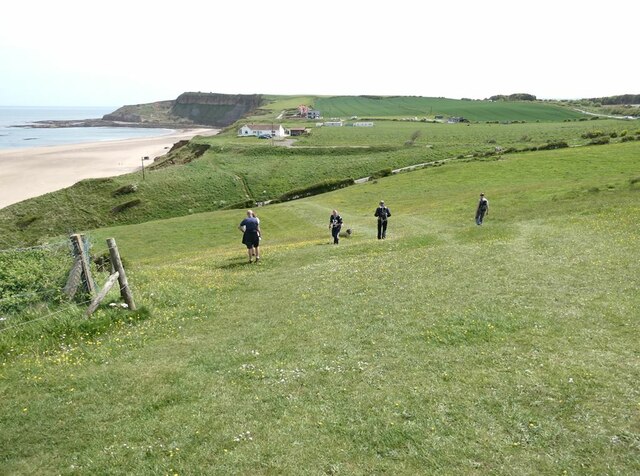
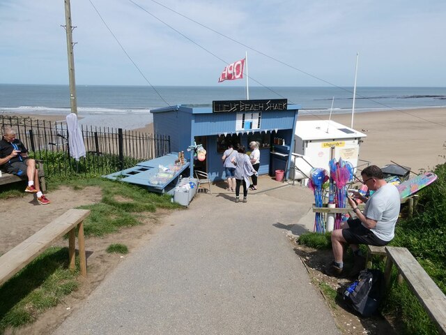
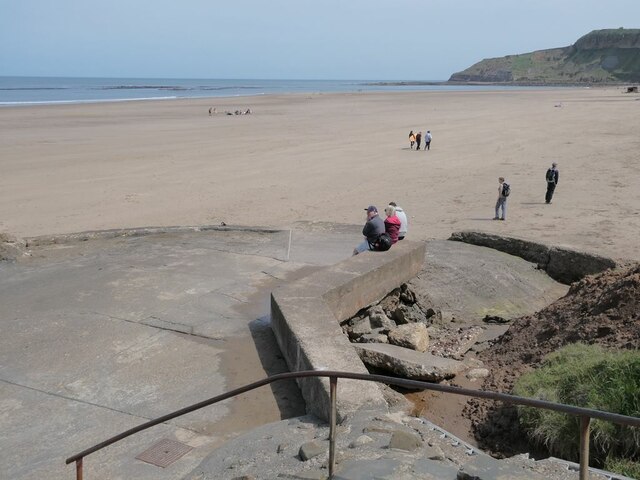
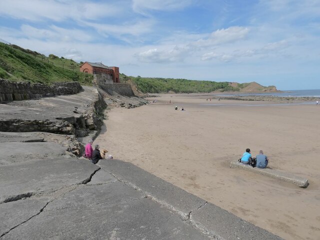
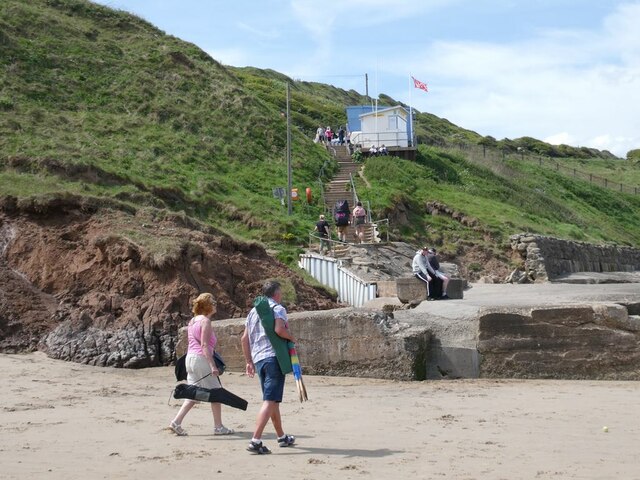
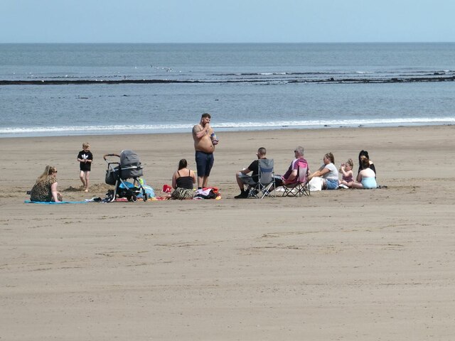
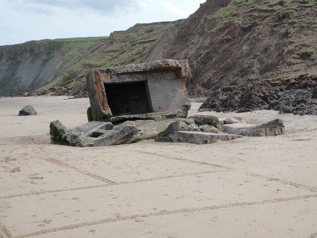
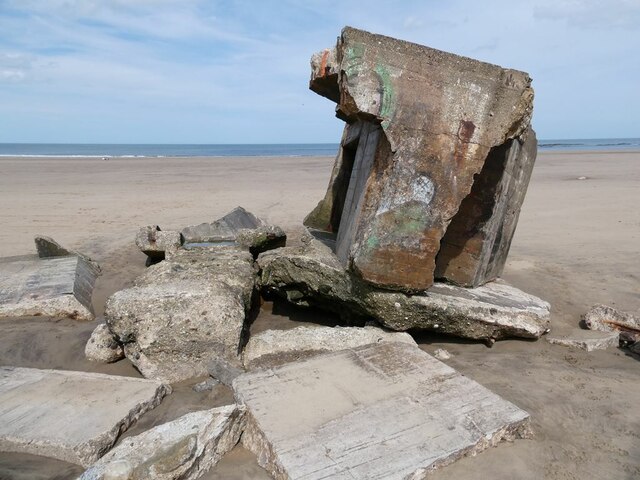
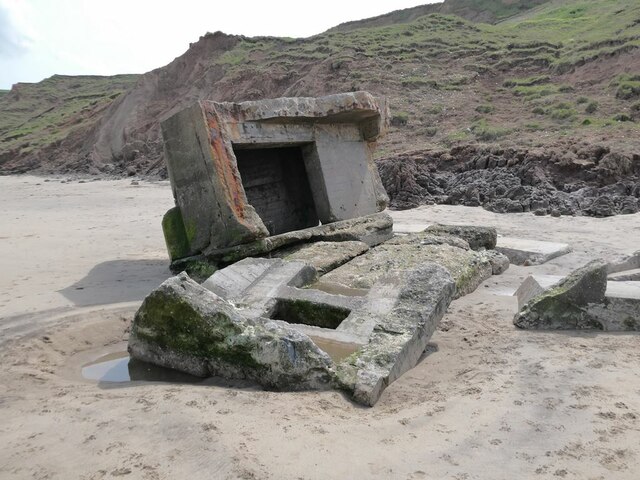
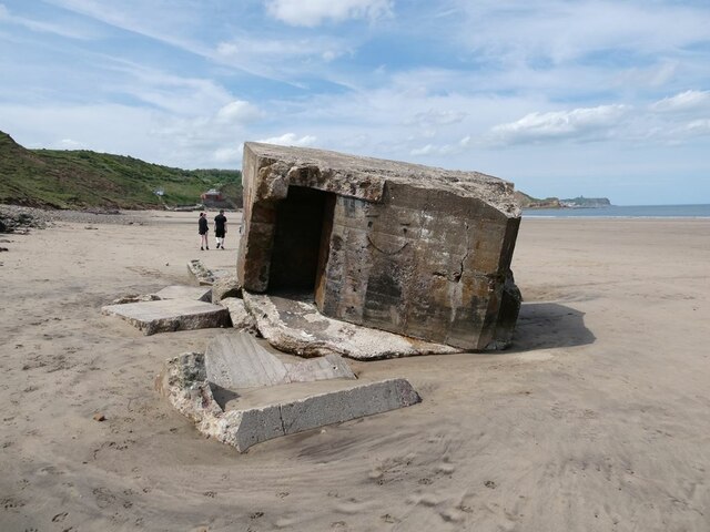
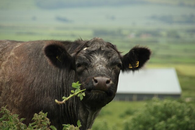
Killerby Images

Images are sourced within 2km of 54.229422/-0.36563953 or Grid Reference TA0682. Thanks to Geograph Open Source API. All images are credited.

Cayton, Methodist church The benchmark is cut into the stone course, and is partially hidden by the shrubbery.
Cayton, Methodist church
The benchmark is cut into the stone course, and is partially hidden by the shrubbery.
Cayton Sands The magnificent sweep of beach at Cayton Bay.
Cayton Sands
The magnificent sweep of beach at Cayton Bay.
Cleveland Way above Cayton Bay The National Trail descends across steep grassland towards the bay
Cleveland Way above Cayton Bay
The National Trail descends across steep grassland towards the bay
Lucy's Beach Shack Just above the beach at Cayton Bay.
Lucy's Beach Shack
Just above the beach at Cayton Bay.
Cayton Bay At the foot of the steps.
Cayton Bay
At the foot of the steps.
Cayton Bay Looking north; a pumping station in the middle distance.
Cayton Bay
Looking north; a pumping station in the middle distance.
Steps up from Cayton Bay Leading to Lucy's Beach Shack.
Steps up from Cayton Bay
Leading to Lucy's Beach Shack.
Extended family on Cayton Sands
Great was the fall thereof! The remains of a pillbox which has fallen from the clifftop above.
Great was the fall thereof!
The remains of a pillbox which has fallen from the clifftop above.
Great was the fall thereof! The remains of a pillbox which has fallen from the clifftop above.
Great was the fall thereof!
The remains of a pillbox which has fallen from the clifftop above.
Great was the fall thereof! The remains of a pillbox which has fallen from the clifftop above.
Great was the fall thereof!
The remains of a pillbox which has fallen from the clifftop above.
Great was the fall theeof! The remains of a pillbox which has fallen from the clifftop above.
Great was the fall theeof!
The remains of a pillbox which has fallen from the clifftop above.
View to Lebberston Looking across farmland to Lebberston from the Scarborough - Hull railway
View to Lebberston
Looking across farmland to Lebberston from the Scarborough - Hull railway
Grass field at High Dale Cottage A large coastal grass field, recently mown rows of grass wait to be turned into forage to feed livestock during winter.
Grass field at High Dale Cottage
A large coastal grass field, recently mown rows of grass wait to be turned into forage to feed livestock during winter.
Cattle on the coast I think this might be a young heifer, stood at the fence, either interested in the view, passing walkers, or just having a scratch on the fence.
Cattle on the coast
I think this might be a young heifer, stood at the fence, either interested in the view, passing walkers, or just having a scratch on the fence.
Chewing on nettles A heifer (a young female cow, I think) has bitten off a nettle and eating it in a coastal grass field near Mount Pheasant Farm.
Chewing on nettles
A heifer (a young female cow, I think) has bitten off a nettle and eating it in a coastal grass field near Mount Pheasant Farm.
Grazing cattle at Mount Pheasant Farm A number of cattle are grazing a coastal grass field at Mount Pheasant Farm. The animal in the foreground can be seen in <a href="https://www.geograph.org.uk/photo/7262133">TA0784 : Chewing on nettles</a> having bitten off a nettle.
Grazing cattle at Mount Pheasant Farm
A number of cattle are grazing a coastal grass field at Mount Pheasant Farm. The animal in the foreground can be seen in TA0784 : Chewing on nettles having bitten off a nettle.
Path above Cayton Bay The footpath which follows the top of the cliffs above the beach of Cayton Bay.
Path above Cayton Bay
The footpath which follows the top of the cliffs above the beach of Cayton Bay.
Show me another place!

Killerby is located at Grid Ref: TA0682 (Lat: 54.229422, Lng: -0.36563953)

Division: North Riding

Administrative County: North Yorkshire

District: Scarborough

Police Authority: North Yorkshire

What 3 Words

///stickler.origin.thrillers. Near Filey, North Yorkshire

Nearby Locations

Killerby

Related Wikis

Cayton railway station

Cayton railway station was a minor railway station serving the village of Cayton on the Yorkshire Coast Line from Scarborough to Hull and was opened on...

Lebberston

Lebberston is a rural village and civil parish in North Yorkshire on the east coast of England. The village is situated 4 miles (6 km) south-east from...

Cayton

Cayton is a village and civil parish in the Scarborough borough of North Yorkshire, England, 4 miles (6 km) south of Scarborough. == History == Cayton...

Gristhorpe railway station

Gristhorpe railway station was a minor railway station on the Yorkshire Coast Line from Scarborough to Hull, serving the villages of Gristhorpe and Lebberston...

George Pindar School

George Pindar School is a coeducational secondary school in Eastfield, Scarborough in North Yorkshire, England. It was previously named George Pindar Community...

Osgodby, coastal North Yorkshire

Osgodby is a village and civil parish in the district and county of North Yorkshire, England. Until 2023, it was in the borough of Scarborough. Approximately...

Gristhorpe

Gristhorpe is a village and civil parish in the Scarborough district of North Yorkshire, England. According to the 2011 UK census, Gristhorpe parish had...

Eastfield, North Yorkshire

Eastfield is a town and civil parish in North Yorkshire, England. It was granted town status in January 2016. It is directly south of Scarborough and is...

Nearby Amenities

Located within 500m of 54.229422,-0.36563953
Stained Glass Centre
Addr Housenumber: 3
Addr Postcode: YO11 3TP
Addr Street: Killerby Lane
Name En: Stained Glass Centre
Opening Hours: Mo-Su 10:00-17:00
Phone: +44 1723 581236
Tourism: attraction
Website: https://www.stainedglasscentre.co.uk/
Lat/Long: 54.227572/-0.3658701
The data included in this document is from www.openstreetmap.org. The data is made available under ODbL.

Have you been to Killerby?

Leave your review of Killerby below (or comments, questions and feedback).