Killhope
Settlement in Durham
England
Killhope
The requested URL returned error: 429 Too Many Requests
If you have any feedback on the listing, please let us know in the comments section below.
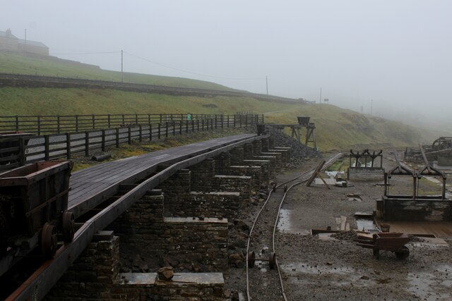
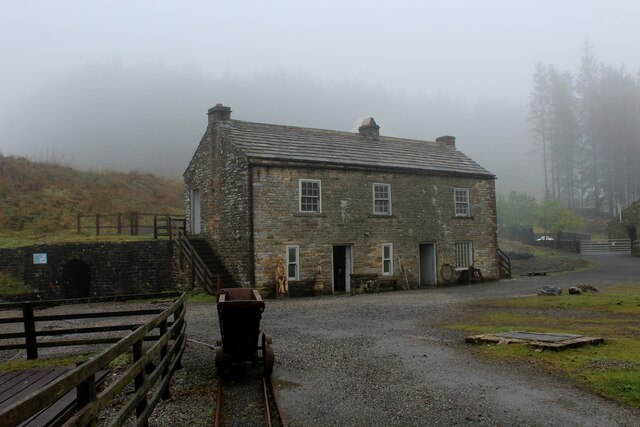
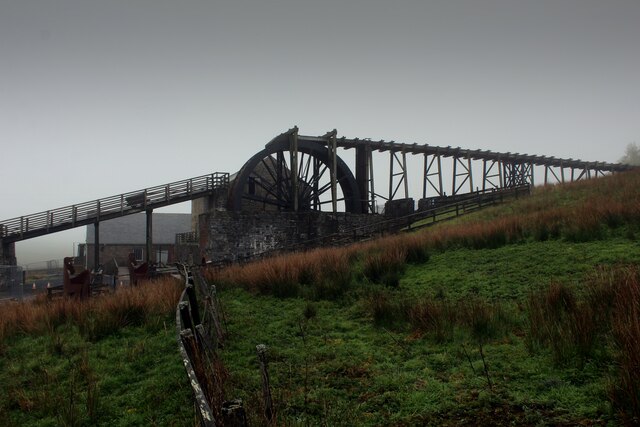
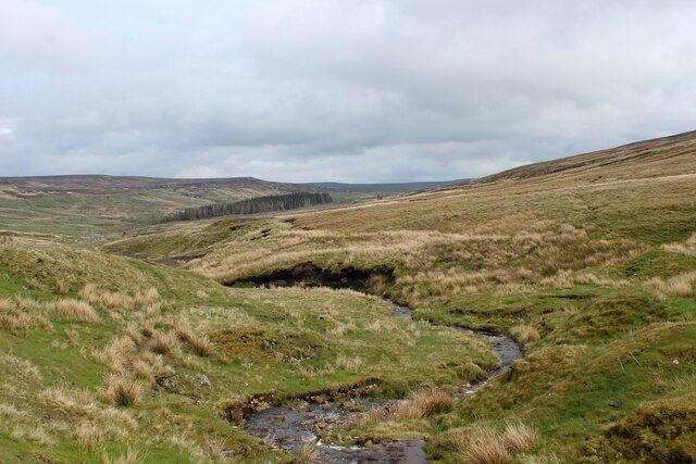
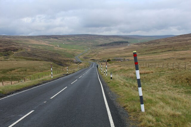
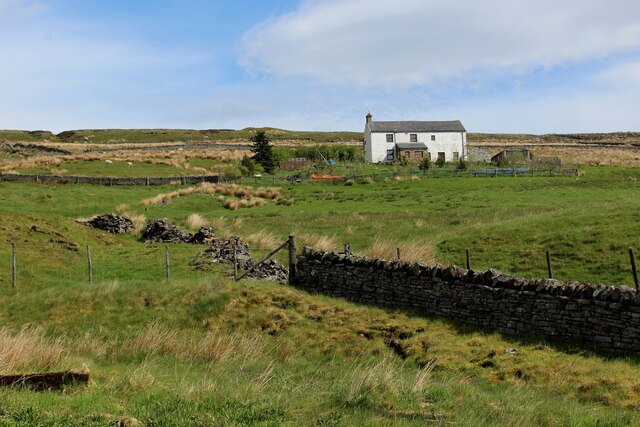
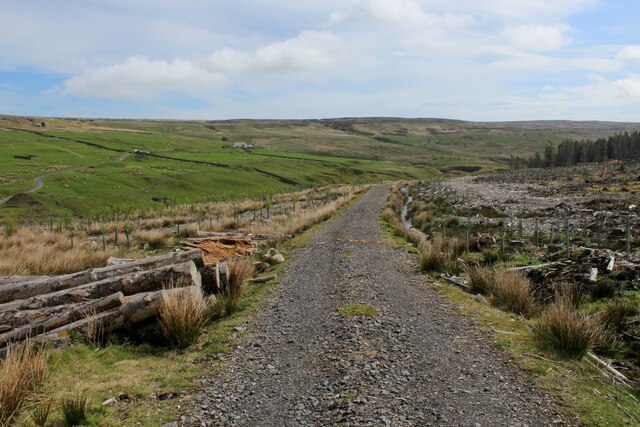
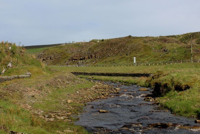
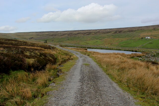
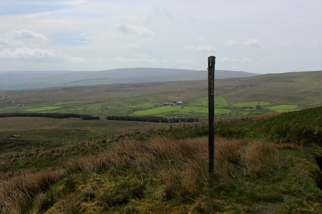
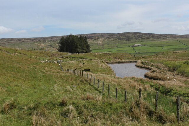
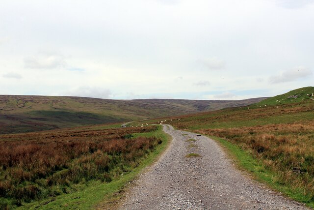
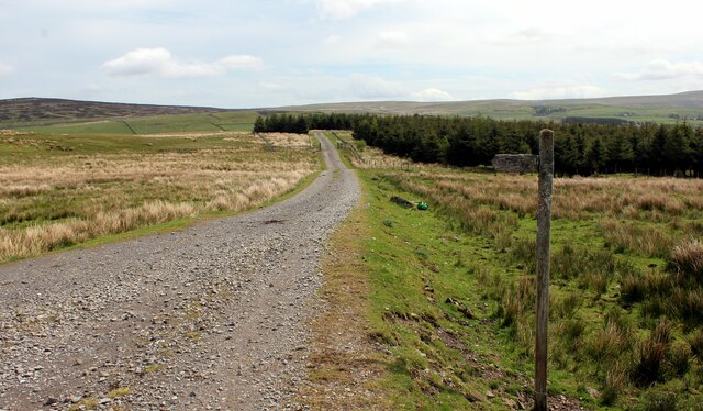
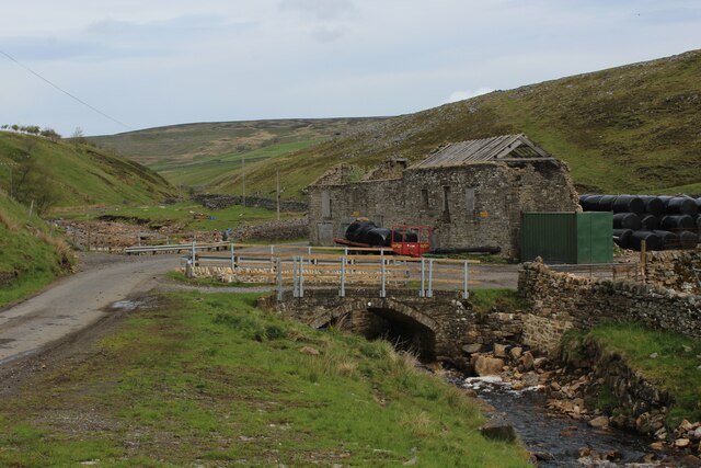
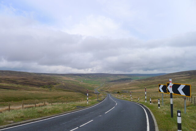
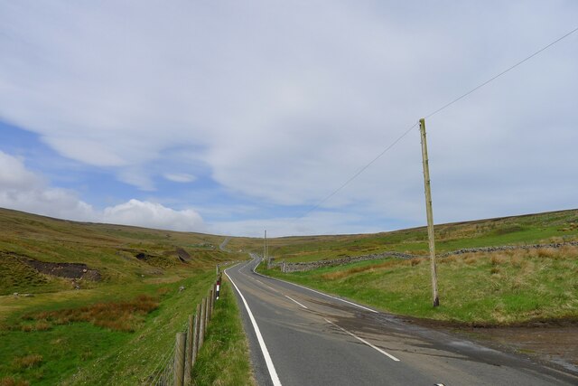
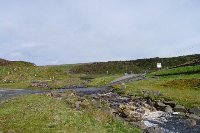
Killhope Images
Images are sourced within 2km of 54.78325/-2.2737627 or Grid Reference NY8243. Thanks to Geograph Open Source API. All images are credited.
Killhope is located at Grid Ref: NY8243 (Lat: 54.78325, Lng: -2.2737627)
Unitary Authority: County Durham
Police Authority: Durham
What 3 Words
///clogging.tokens.cheerily. Near Alston, Cumbria
Nearby Locations
Related Wikis

Killhope
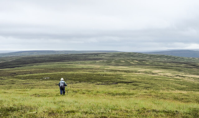
Killhope is a small settlement at the very highest end of Weardale in the civil parish of Stanhope, in County Durham, England. Killhope Pass, the road...
Old Moss Lead Vein
Old Moss Lead Vein, also known as Killhope Head, is a Site of Special Scientific Interest in the Wear Valley district of County Durham, England. It consists...

Killhope Cross
Killhope Cross (elevation 627 m; 2,057 ft) is a mountain pass in the English Pennines. The pass divides Weardale to the east and Cumbria to the west. The...

Lanehead
Lanehead is a hamlet in the civil parish of Stanhope, in County Durham, England. It lies at the head of Weardale, approximately 2 km west of Cowshill....
Nearby Amenities
Located within 500m of 54.78325,-2.2737627Have you been to Killhope?
Leave your review of Killhope below (or comments, questions and feedback).