Keoldale

Settlement in Sutherland

Scotland

Keoldale

Fields by Loch Caladail Limestone country near Durness.
Fields by Loch Caladail Credit: Richard Webb

Keoldale is a small village located in the county of Sutherland, in the northern part of Scotland. Situated on the northwestern coast, it is nestled between the picturesque hills and the North Atlantic Ocean. The village is part of the Scottish Highlands, renowned for its stunning natural beauty and rugged landscapes.

Keoldale is a quiet and idyllic village, with a population of just a few dozen residents. It is predominantly a rural area, characterized by rolling green fields, moorlands, and scattered crofts. The village is surrounded by vast open spaces, offering breathtaking views of the sea and the mountains.

The village's location makes it an ideal destination for nature lovers and outdoor enthusiasts. The nearby area is rich in wildlife, including red deer, seabirds, seals, and occasionally even dolphins and whales. Keoldale is also a popular starting point for hikers and walkers, as it provides access to several scenic trails, such as the Cape Wrath Trail and the Sandwood Bay trek.

Despite its small size, Keoldale offers some amenities to visitors. There is a small bed and breakfast and a café where visitors can enjoy a warm meal and a cup of tea. The village is also home to a ferry terminal, connecting it to Cape Wrath, the most northwestern point of mainland Britain.

In summary, Keoldale is a tranquil and picturesque village in Sutherland, Scotland. With its stunning natural landscapes and access to outdoor activities, it provides a perfect retreat for those seeking peace and immersion in nature.

If you have any feedback on the listing, please let us know in the comments section below.
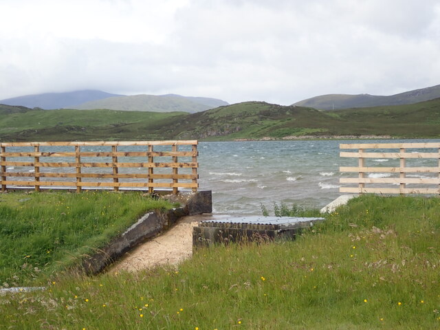
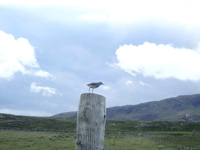
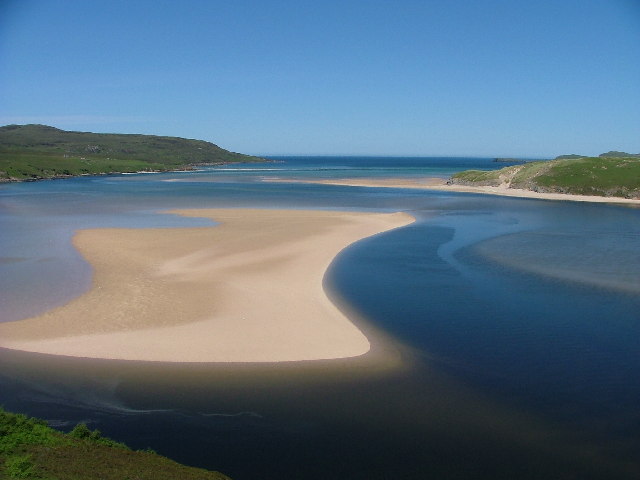
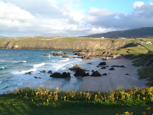
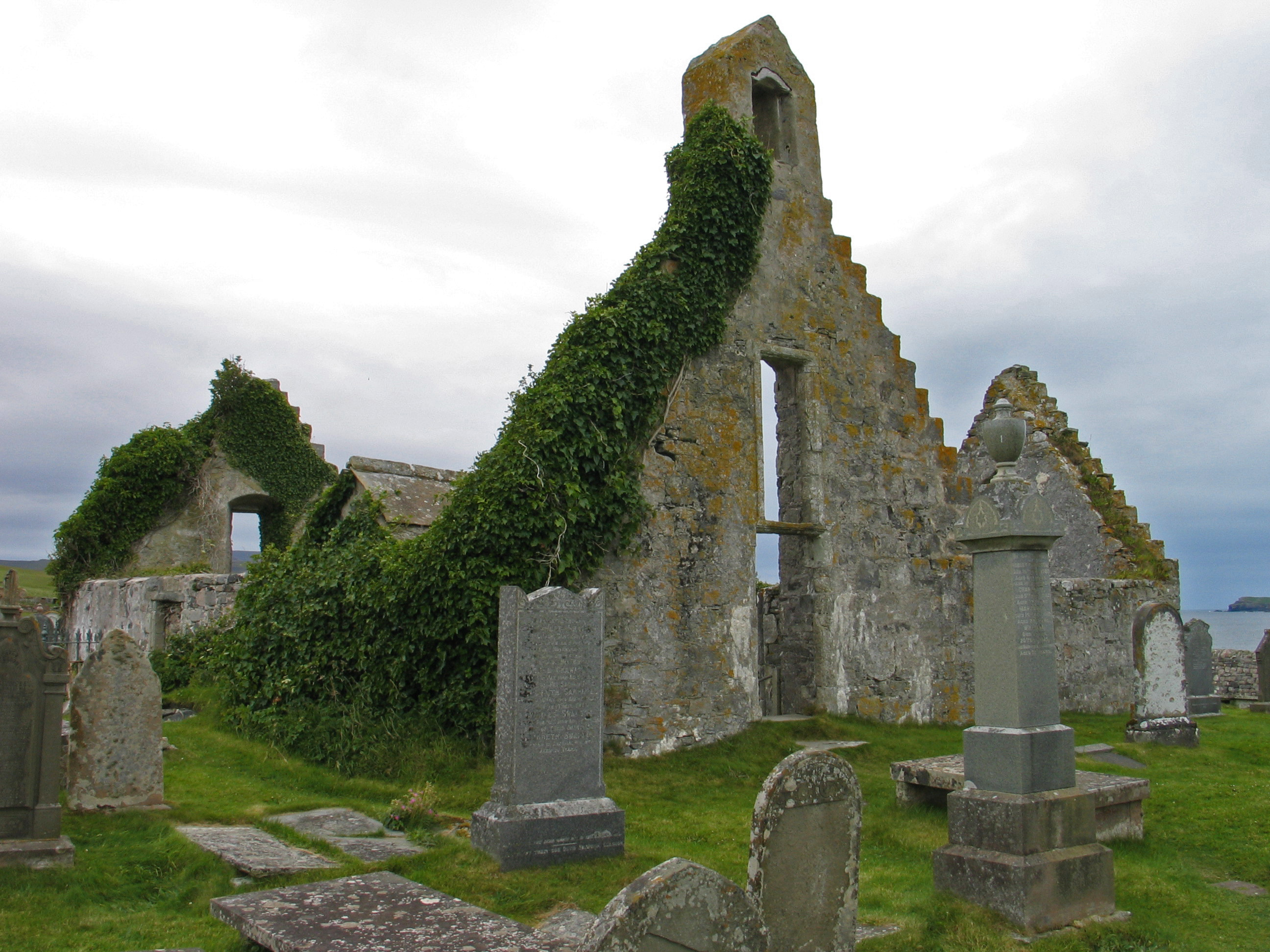
Keoldale Images

Images are sourced within 2km of 58.552765/-4.7823561 or Grid Reference NC3866. Thanks to Geograph Open Source API. All images are credited.

Fields by Loch Caladail Limestone country near Durness.
Fields by Loch Caladail
Limestone country near Durness.
Open moorland at Cnoc na Mòine
Beech copse above Kyle of Durness
Sheep grazing moorland at Kyle of Durness
Moor above Kyle of Durness A limestone outcrop in the foreground.
Moor above Kyle of Durness
A limestone outcrop in the foreground.
Peat road to Cnoc Leathann
Kyle of Durness Limestone shores shine in the sun.  The hamlet, Keoldale beyond the bay.
Kyle of Durness
Limestone shores shine in the sun. The hamlet, Keoldale beyond the bay.
Loch Calladall
Loch Calladall
A838 The A838 runs 83 miles from Dalchork to Tongue, via Durness, in NW Scotland.
<span class="nowrap"><a title="https://www.sabre-roads.org.uk/wiki/index.php?title=A838" rel="nofollow ugc noopener" href="https://www.sabre-roads.org.uk/wiki/index.php?title=A838">Link</a><img style="margin-left:2px;" alt="External link" title="External link - shift click to open in new window" src="https://s1.geograph.org.uk/img/external.png" width="10" height="10"/></span>
A838
The A838 runs 83 miles from Dalchork to Tongue, via Durness, in NW Scotland. LinkExternal link
A838 descending to the Kyle of Durness The A838 runs 83 miles from Dalchork to Tongue, via Durness, in NW Scotland.
<span class="nowrap"><a title="https://www.sabre-roads.org.uk/wiki/index.php?title=A838" rel="nofollow ugc noopener" href="https://www.sabre-roads.org.uk/wiki/index.php?title=A838">Link</a><img style="margin-left:2px;" alt="External link" title="External link - shift click to open in new window" src="https://s1.geograph.org.uk/img/external.png" width="10" height="10"/></span>
A838 descending to the Kyle of Durness
The A838 runs 83 miles from Dalchork to Tongue, via Durness, in NW Scotland. LinkExternal link
NC500 descending to the Kyle of Durness The A838 runs 83 miles from Dalchork to Tongue, via Durness, in NW Scotland.
<span class="nowrap"><a title="https://www.sabre-roads.org.uk/wiki/index.php?title=A838" rel="nofollow ugc noopener" href="https://www.sabre-roads.org.uk/wiki/index.php?title=A838">Link</a><img style="margin-left:2px;" alt="External link" title="External link - shift click to open in new window" src="https://s1.geograph.org.uk/img/external.png" width="10" height="10"/></span>
NC500 descending to the Kyle of Durness
The A838 runs 83 miles from Dalchork to Tongue, via Durness, in NW Scotland. LinkExternal link
Kyle of Durness
Kyle of Durness
A838 The A838 runs 83 miles from Dalchork to Tongue, via Durness, in NW Scotland.
<span class="nowrap"><a title="https://www.sabre-roads.org.uk/wiki/index.php?title=A838" rel="nofollow ugc noopener" href="https://www.sabre-roads.org.uk/wiki/index.php?title=A838">Link</a><img style="margin-left:2px;" alt="External link" title="External link - shift click to open in new window" src="https://s1.geograph.org.uk/img/external.png" width="10" height="10"/></span>
A838
The A838 runs 83 miles from Dalchork to Tongue, via Durness, in NW Scotland. LinkExternal link
Single teack section of A838, by Kyle of Durness The A838 runs 83 miles from Dalchork to Tongue, via Durness, in NW Scotland.
<span class="nowrap"><a title="https://www.sabre-roads.org.uk/wiki/index.php?title=A838" rel="nofollow ugc noopener" href="https://www.sabre-roads.org.uk/wiki/index.php?title=A838">Link</a><img style="margin-left:2px;" alt="External link" title="External link - shift click to open in new window" src="https://s1.geograph.org.uk/img/external.png" width="10" height="10"/></span>
Single teack section of A838, by Kyle of Durness
The A838 runs 83 miles from Dalchork to Tongue, via Durness, in NW Scotland. LinkExternal link
Kyle of Durness
Kyle of Durness
Kyle of Durness
Kyle of Durness
Loch Caladail A shallow loch with good brown trout fishing
Loch Caladail
A shallow loch with good brown trout fishing
Green sandpiper near Loch Caladail
Show me another place!

Keoldale is located at Grid Ref: NC3866 (Lat: 58.552765, Lng: -4.7823561)

Unitary Authority: Highland

Police Authority: Highlands and Islands

What 3 Words

///green.apply.quail. Near Oldshoremore, Highland

Nearby Locations

Keoldale

Related Wikis

Kyle of Durness

Kyle of Durness is a coastal inlet on the north coast of Scotland in the county of Sutherland. It extends 5+1⁄2 miles (9 kilometres) inland from Balnakeil...

Durness

Durness (Scottish Gaelic: Diùranais) is a village and civil parish in the north-west Highlands of Scotland. It lies on the north coast of the country in...

Balnakeil

Balnakeil is a hamlet in the parish of Durness, Sutherland, Scottish Highlands, and is in the Scottish council area of Highland. It is on the north coast...

Achiemore, Durness

Achiemore was a crofting community located on the Cape Wrath peninsula near the village of Durness in the Scottish county of Sutherland. The hamlet is...

Nearby Amenities

Located within 500m of 58.552765,-4.7823561
Source: PGS
Lat/Long: 58.5535704/-4.7907297
Source: PGS
Lat/Long: 58.5529287/-4.7890856
Source: PGS
Lat/Long: 58.5532615/-4.788298
Source: PGS
Lat/Long: 58.5532001/-4.7872908
Source: PGS
Lat/Long: 58.5531672/-4.7867196
Source: PGS
Lat/Long: 58.5529885/-4.7858774
Source: PGS
Lat/Long: 58.5528244/-4.7833709
Source: PGS
Lat/Long: 58.5527593/-4.7827718
Source: PGS
Lat/Long: 58.5525767/-4.7817838
Source: PGS
Lat/Long: 58.5523419/-4.7809586
Source: PGS
Lat/Long: 58.552191/-4.7805432
Source: PGS
Lat/Long: 58.5521211/-4.7802914
Source: PGS
Lat/Long: 58.5520101/-4.7800178
Source: PGS
Lat/Long: 58.5516599/-4.7790713
Source: PGS
Lat/Long: 58.5511853/-4.7781846
Source: PGS
Lat/Long: 58.5500307/-4.7782662
Source: PGS
Lat/Long: 58.5495839/-4.7786732
Source: PGS
Lat/Long: 58.5489055/-4.7792121
Bus Stop
Cape Wrath Hotel
Naptan AtcoCode: 6700712488
Naptan Bearing: E
Naptan CommonName: Cape Wrath Hotel
Naptan Indicator: o/s Hotel
Naptan Landmark: Hotel
Naptan NaptanCode: 45327858
Naptan Street: Kelodale Road
Naptan Verified: no
Source: naptan_import
Lat/Long: 58.553156/-4.785551
Historic: monument
Lat/Long: 58.5488931/-4.7784287
Keoldale
Name En: Keoldale
Name Gd: Cealldal
Place: hamlet
Source: survey
Lat/Long: 58.553833/-4.7841567
Parking
Lat/Long: 58.5533998/-4.787481
Cape Wrath Hotel
Addr City: Sutherland
Addr Postcode: IV27 4SW
Addr Street: Lairg
Phone: +44 1971 511212
Tourism: hotel
Website: https://www.hotelsneargolfcourses.co.uk/hotel/the-cape-wrath-hotel-durness
Lat/Long: 58.5539811/-4.784954
Ferry Terminal
Lat/Long: 58.5528459/-4.7893624
Fast Food
The Durness Food Spot
Cuisine: fish_and_chips;ice_cream
Description: food van in summer
Drive Through: no
Opening Hours: Mo-Sa 09:00-17:00
Lat/Long: 58.5489912/-4.77786
Tourism: picnic_site
Lat/Long: 58.5490624/-4.7782823
Geopark: Kyle of Durness
Board Type: nature
Description: Geopark Infopoint #13: Kyle of Durness
Information: board
Operator: North West Highlands Geopark
Tourism: information
Website: https://www.nwhgeopark.com/rock-route/
Lat/Long: 58.549111/-4.7782947
Tourism: information
Lat/Long: 58.5492875/-4.7780526
The data included in this document is from www.openstreetmap.org. The data is made available under ODbL.

Have you been to Keoldale?

Leave your review of Keoldale below (or comments, questions and feedback).