Kenton Bank Foot
Settlement in Northumberland
England
Kenton Bank Foot

Kenton Bank Foot is a small village located in Northumberland, a county in the northeast of England. Situated about 5 miles northwest of Newcastle upon Tyne, the village is nestled amidst picturesque countryside and offers a peaceful retreat from the bustling city.
Kenton Bank Foot is primarily a residential area, with a mix of housing options ranging from quaint cottages to modern developments. The village attracts a diverse population, including families, professionals, and retirees, who appreciate its tranquil atmosphere and convenient location.
Despite its rural setting, Kenton Bank Foot benefits from excellent transport links. The village is well-connected to Newcastle and other nearby towns by a variety of road and public transportation options. The A1, a major highway, is easily accessible, making it convenient for residents to commute to work or explore the wider region.
Local amenities in Kenton Bank Foot include a small selection of shops and services, including a grocery store, a post office, and a few independent retailers. For further shopping and entertainment options, residents can easily access the nearby suburbs or head into Newcastle city center.
Nature lovers and outdoor enthusiasts are drawn to Kenton Bank Foot's proximity to beautiful countryside and several green spaces. The village is surrounded by rolling hills, woodlands, and fields, providing ample opportunities for walking, hiking, and exploring the natural beauty of Northumberland.
Overall, Kenton Bank Foot offers a peaceful and idyllic lifestyle, blending rural charm with modern convenience. Its beautiful surroundings, excellent transport links, and close proximity to Newcastle make it an attractive place to live for those seeking a balance between urban and rural living.
If you have any feedback on the listing, please let us know in the comments section below.
Kenton Bank Foot Images
Images are sourced within 2km of 55.01396/-1.679241 or Grid Reference NZ2068. Thanks to Geograph Open Source API. All images are credited.


Kenton Bank Foot is located at Grid Ref: NZ2068 (Lat: 55.01396, Lng: -1.679241)
Unitary Authority: Newcastle upon Tyne
Police Authority: Northumbria
What 3 Words
///preoccupied.spirit.rotate. Near Hazlerigg, Tyne & Wear
Nearby Locations
Related Wikis

Kenton Bank railway station
Kenton Bank was a railway station on the Ponteland Railway, which ran between South Gosforth and Ponteland, with a sub-branch line to Darras Hall. The...

Bank Foot Metro station
Bank Foot is a Tyne and Wear Metro station, serving the suburb of Kenton Bank Foot, Newcastle upon Tyne in Tyne and Wear, England. It joined the network...

Bullocksteads Sports Ground
Bullocksteads Sports Ground is a rugby and football facility in Newcastle upon Tyne, England. It is situated next to the Kingston Park stadium. It is the...

Kingston Park (stadium)
Kingston Park is a multi-purpose stadium in Kingston Park, Newcastle upon Tyne, England. It is used mostly for rugby union and rugby league matches and...
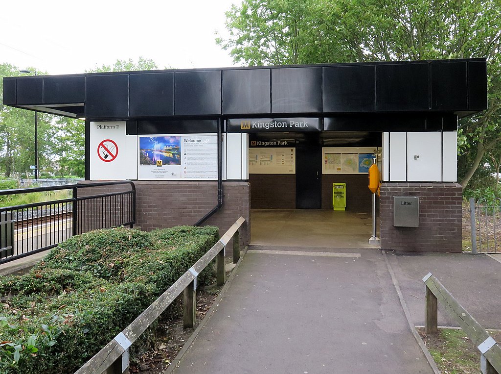
Kingston Park Metro station
Kingston Park is a Tyne and Wear Metro station, serving the suburb of Kingston Park, Newcastle upon Tyne in Tyne and Wear, England. It joined the network...
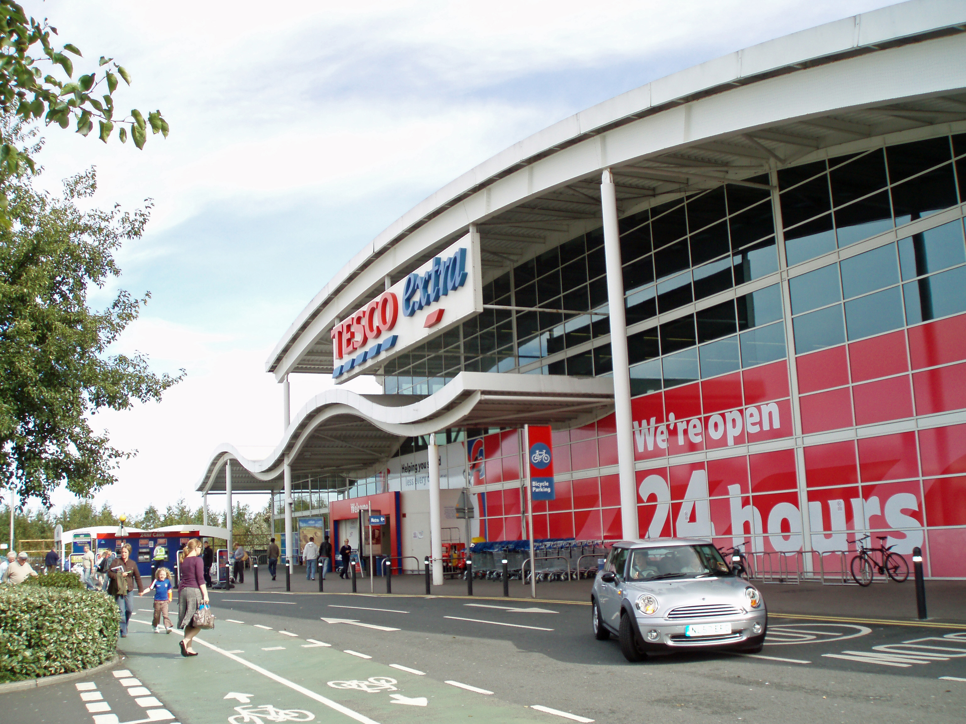
Kingston Park
Kingston Park is a suburb of Newcastle upon Tyne, about 4 miles (6 km) north west of the city centre. It is home to several large retailers, the largest...

Woolsington
Woolsington is a village in, and civil parish of, Newcastle upon Tyne, England. It is located north-west of the city centre, covering a large geographical...
Kenton Bar
Kenton Bar is a housing estate, that is part of Kenton Ward [1] in Newcastle upon Tyne, England. It is situated immediately west of North Kenton and to...
Nearby Amenities
Located within 500m of 55.01396,-1.679241Have you been to Kenton Bank Foot?
Leave your review of Kenton Bank Foot below (or comments, questions and feedback).