Kent
Settlement in Hampshire New Forest
England
Kent
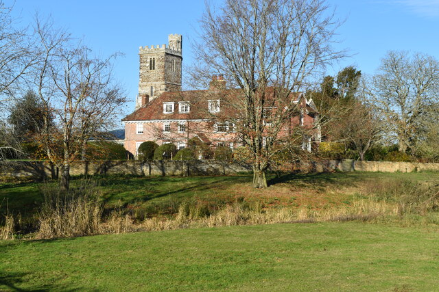
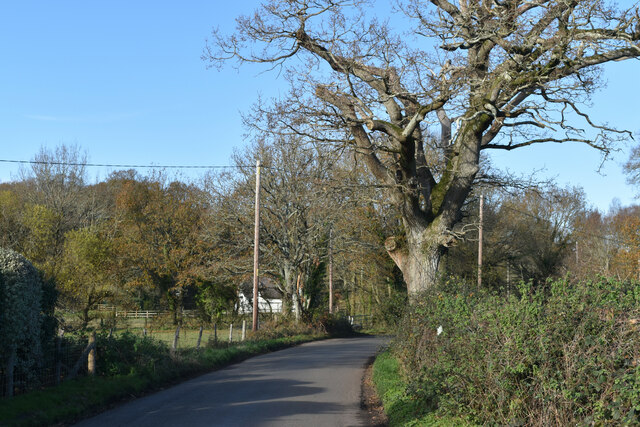
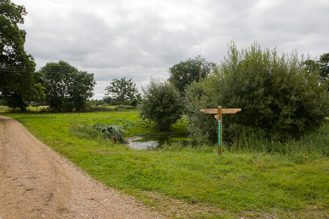
Kent, Hampshire is a small village located in the South East of England. It is situated in the county of Hampshire, near the border with Kent. The village is surrounded by picturesque countryside, with rolling hills and fields, providing a tranquil and scenic environment for its residents.
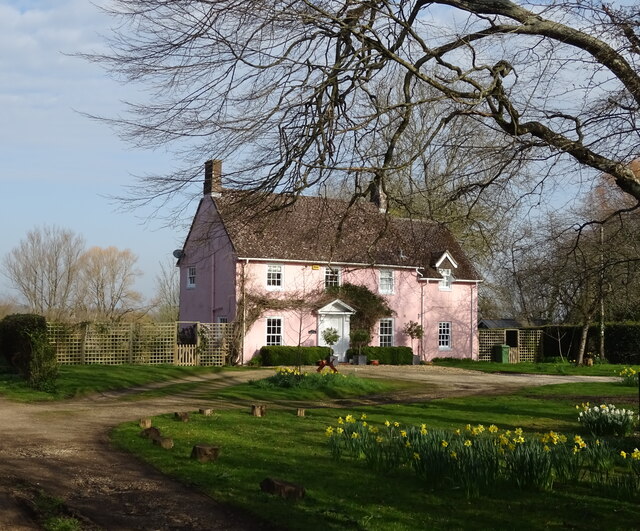
Kent, Hampshire has a population of around 1,200 people, making it a tight-knit community where neighbors often know each other by name. The village is characterized by its charming thatched-roof cottages, which add to its traditional and rustic appeal.
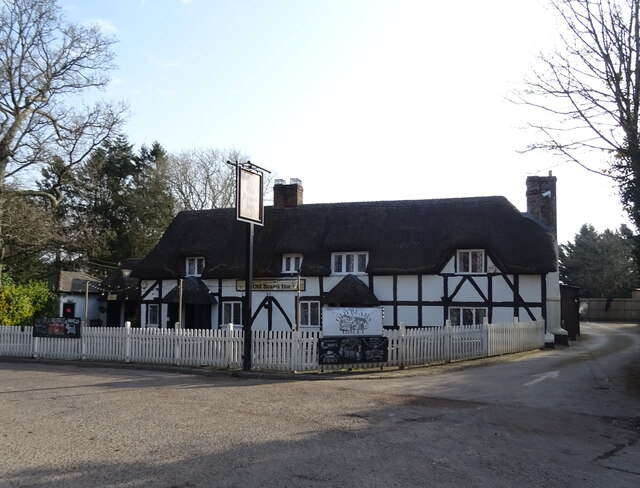
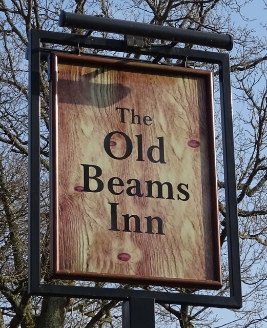
Despite its small size, Kent, Hampshire offers a range of amenities to its residents. There is a local primary school that caters to the educational needs of the village's younger population. In addition, there are several small shops and businesses, including a post office and a village pub, where locals can gather and socialize.
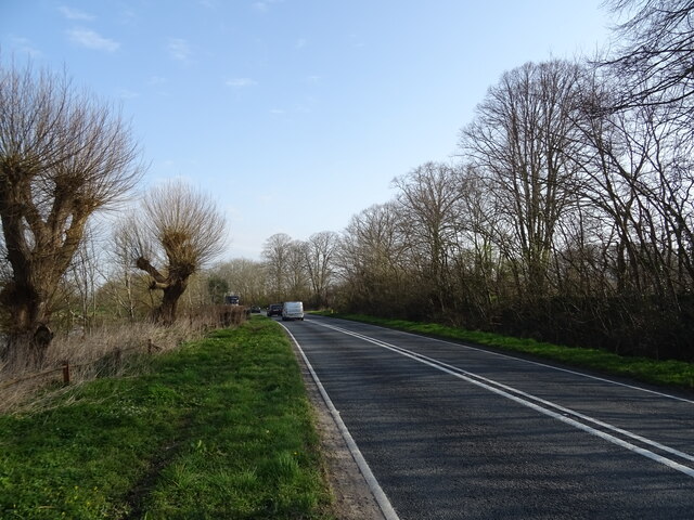
The village is also well-connected to surrounding areas. It is located near major roadways, making it easily accessible by car. Additionally, there are regular bus services that connect Kent, Hampshire to nearby towns and cities.
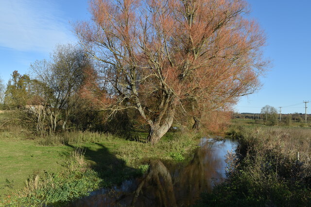
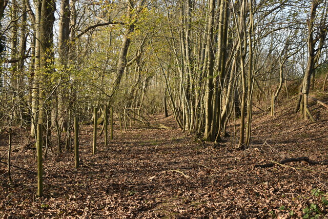
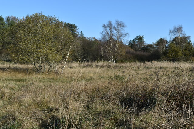
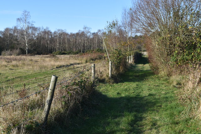
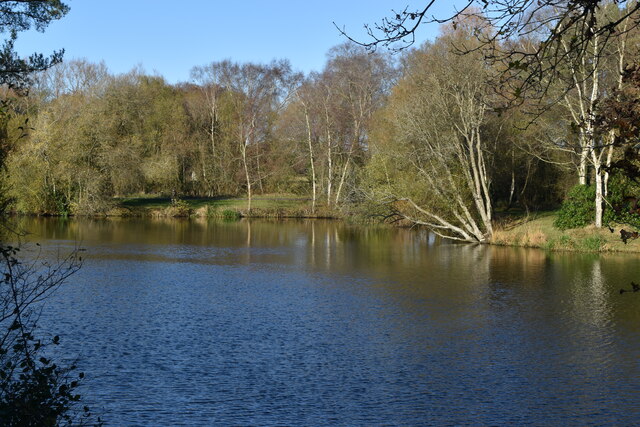
For those who enjoy outdoor activities, Kent, Hampshire offers plenty of opportunities. The surrounding countryside provides ample space for walking, cycling, and horseback riding. There are also nearby nature reserves and parks, where residents can enjoy the beauty of the local flora and fauna.
Overall, Kent, Hampshire is a charming village that offers a peaceful and close-knit community for its residents, with easy access to amenities and beautiful countryside.
If you have any feedback on the listing, please let us know in the comments section below.
Kent Images
Images are sourced within 2km of 50.892692/-1.8031714 or Grid Reference SU1310. Thanks to Geograph Open Source API. All images are credited.


Kent is located at Grid Ref: SU1310 (Lat: 50.892692, Lng: -1.8031714)
Administrative County: Hampshire
District: New Forest
Police Authority: Hampshire
What 3 Words
///procures.remit.actor. Near Alderholt, Dorset
Nearby Locations
Related Wikis

Harbridge
Harbridge is a small village and former civil parish, now in the parish of Ellingham, Harbridge and Ibsley, in the New Forest district, in the county of...
Turmer
Turmer is a small hamlet near Harbridge in Hampshire, England. It lies within the civil parish of Ellingham, Harbridge and Ibsley. Turmer is unusual for...

Latchmore Brook
The Latchmore Brook is a significant stream in the New Forest, Hampshire, England. It rises from the elevated gravel plateaus in the north of the Forest...

Avon Valley (Bickton to Christchurch)
Avon Valley (Bickton to Christchurch) is a 1,403.8-hectare (3,469-acre) biological Site of Special Scientific Interest which stretches from Christchurch...

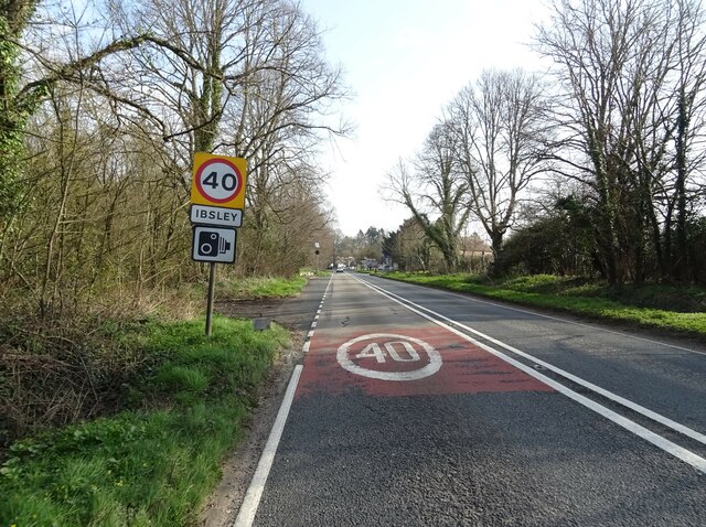
Ibsley
Ibsley is a village and former civil parish, now in the parish of Ellingham, Harbridge and Ibsley, in the New Forest district, in Hampshire, England. It...

Ringwood and Fordingbridge Rural District
Ringwood and Fordingbridge was a rural district in Hampshire from 1932 to 1974.It was formed by the merger of part of the disbanded Christchurch Rural...
Ellingham Priory
Ellingham Priory was a medieval monastic house in Ellingham, Hampshire, England. It was founded by William de Soleres in 1160. It was a cell to the Abbey...
RAF Ibsley
Royal Air Force Ibsley or more simply RAF Ibsley is a former Royal Air Force station in Hampshire, England. The airfield is near the village of Ibsley...
Related Videos


New Forest - August 2019
New Forest - August 2019.

Going on to the course at New Forest Water Park
Walking down the board walk.

Saturday wakeboard session
Marley and me riding at New Forest Waterpark.
Nearby Amenities
Located within 500m of 50.892692,-1.8031714Have you been to Kent?
Leave your review of Kent below (or comments, questions and feedback).