Kensworth Lynch
Settlement in Hertfordshire
England
Kensworth Lynch
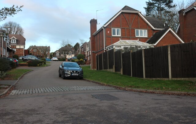
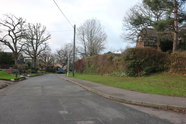
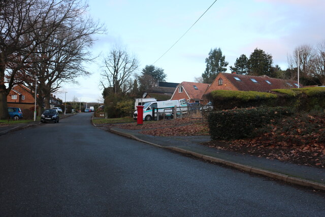
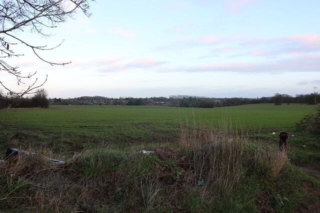
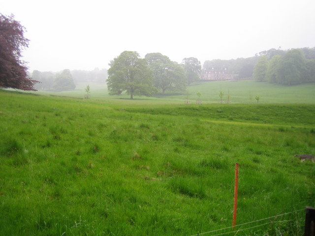
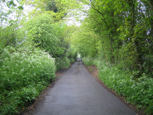
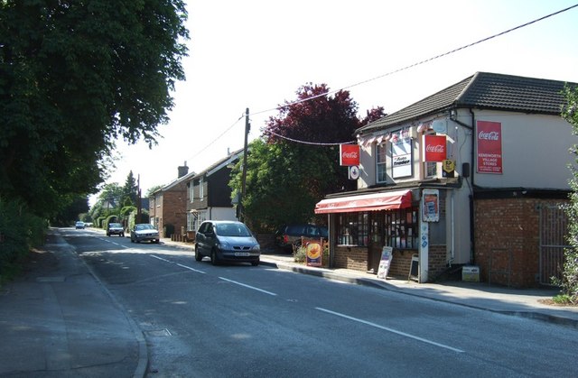
Kensworth Lynch is a small village located in Hertfordshire, England. Situated in the picturesque Chiltern Hills, it is a tranquil and scenic area that attracts visitors seeking a peaceful retreat from the bustling cities nearby. The village is part of the larger civil parish of Kensworth, and is surrounded by lush green fields and rolling hills, providing stunning views of the surrounding countryside.
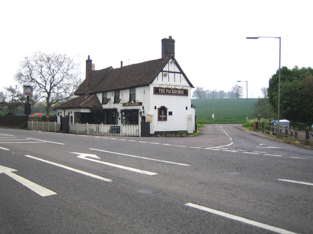
The village itself is characterized by its charming and traditional English architecture, with many houses dating back several centuries. The village center consists of a few local shops, a pub, and a village hall, serving as the focal point for community activities. The village is also home to the All Saints Church, a beautiful medieval church that adds to the village's historical charm.
Nature enthusiasts are drawn to Kensworth Lynch due to its proximity to various walking and hiking trails that crisscross the Chiltern Hills Area of Outstanding Natural Beauty. These trails offer breathtaking views of the countryside, and visitors can explore the nearby Dunstable Downs, an escarpment that provides panoramic vistas of the surrounding landscape.
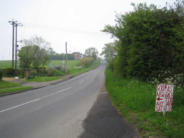
Despite its small size, Kensworth Lynch benefits from its strategic location, with easy access to nearby towns and cities such as Luton, Dunstable, and St Albans. The village also benefits from excellent transportation links, with a nearby train station and major road networks connecting it to the rest of the county.
Overall, Kensworth Lynch is a hidden gem in Hertfordshire, offering a tranquil and idyllic setting for those seeking a peaceful getaway amidst the beauty of the English countryside.
If you have any feedback on the listing, please let us know in the comments section below.
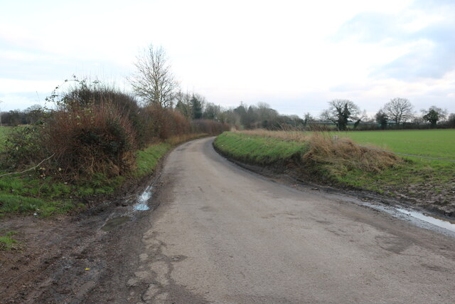
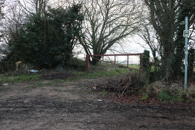
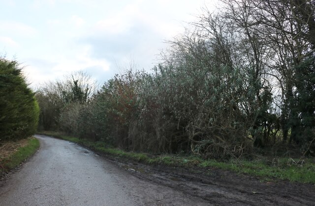
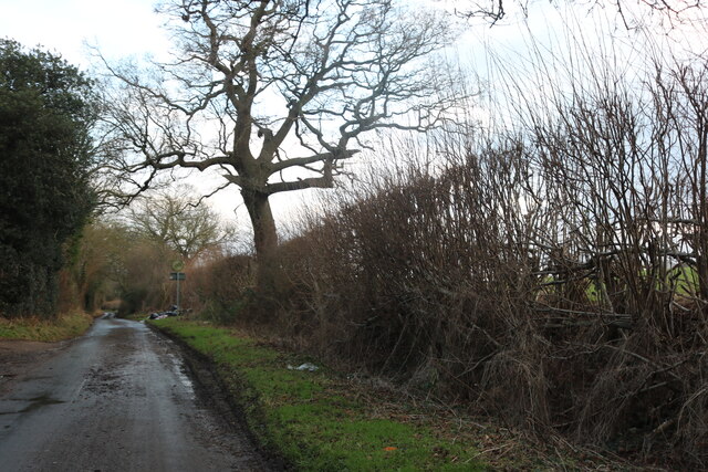
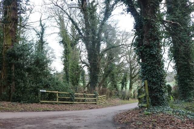
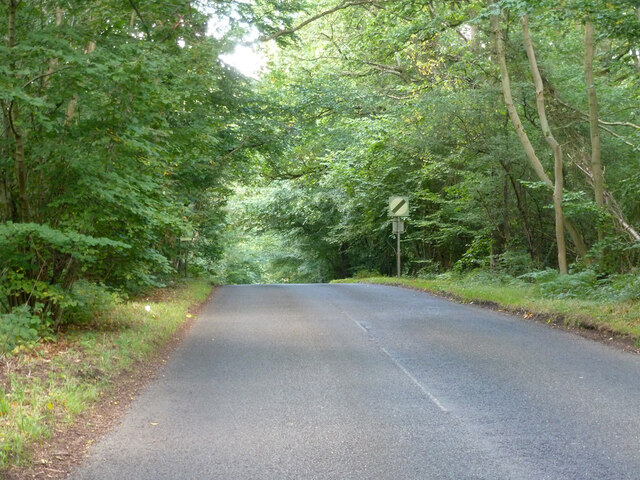
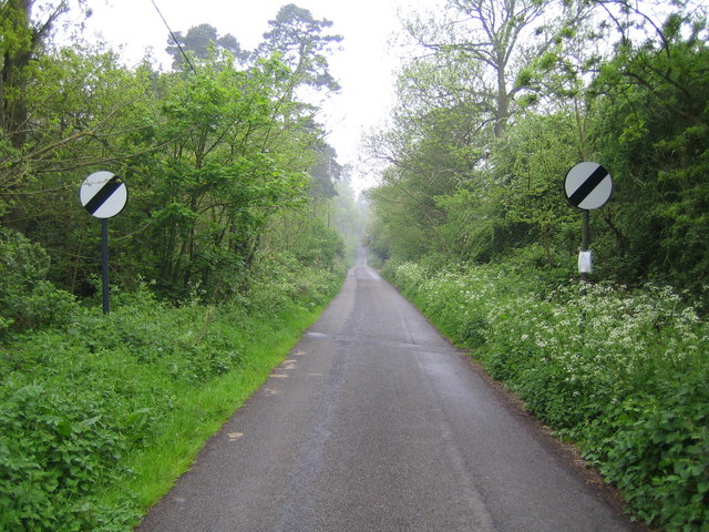
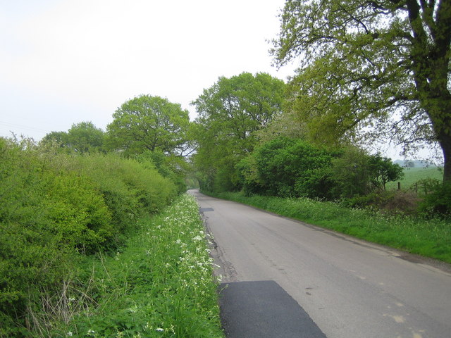
Kensworth Lynch Images
Images are sourced within 2km of 51.851779/-0.4865782 or Grid Reference TL0418. Thanks to Geograph Open Source API. All images are credited.


Kensworth Lynch is located at Grid Ref: TL0418 (Lat: 51.851779, Lng: -0.4865782)
Unitary Authority: Central Bedfordshire
Police Authority: Bedfordshire
What 3 Words
///assets.jump.strict. Near Kensworth, Bedfordshire
Nearby Locations
Related Wikis
Kensworth
Kensworth is a village and civil parish located in the Central Bedfordshire district of Bedfordshire, England. The parish is located on the edge of Dunstable...

Church of St Mary, Kensworth
The Church of St Mary the Virgin is a Grade I listed church in Kensworth, Bedfordshire, England. It became a listed building on 3 February 1967. ��2...
Markyate Priory
Markyate Priory was a Benedictine priory in Bedfordshire, England. It was established in 1145 and disestablished in 1537. == History == The priory of Markyate...

Cell Park
Cell Park (previously known as Markyate Cell) is a country house in Markyate, Hertfordshire near Luton, England. The house dates from the 16th century...

Caddington
Caddington is a village and civil parish in the Central Bedfordshire district of Bedfordshire, England. It is south of Luton. The western border of the...

Caddington F.C.
Caddington F.C. are a football club based in Caddington, near Luton, England. The club is affiliated to the Bedfordshire County Football Association and...

Caddington Hall
Caddington Hall was a country estate in Markyate, Bedfordshire, England. The house was demolished in 1975.In 1804, a family by the name of Pedley traded...
Markyate Rural District
Markyate Rural District was a short-lived rural district in Hertfordshire, England from 1894 to 1897, on the borders with Bedfordshire. The district was...
Nearby Amenities
Located within 500m of 51.851779,-0.4865782Have you been to Kensworth Lynch?
Leave your review of Kensworth Lynch below (or comments, questions and feedback).