Kelhead
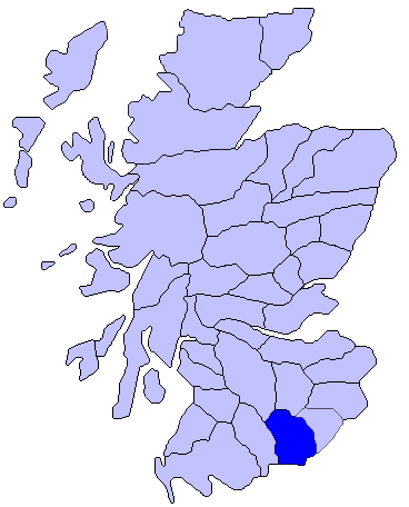
Settlement in Dumfriesshire
Scotland
Kelhead
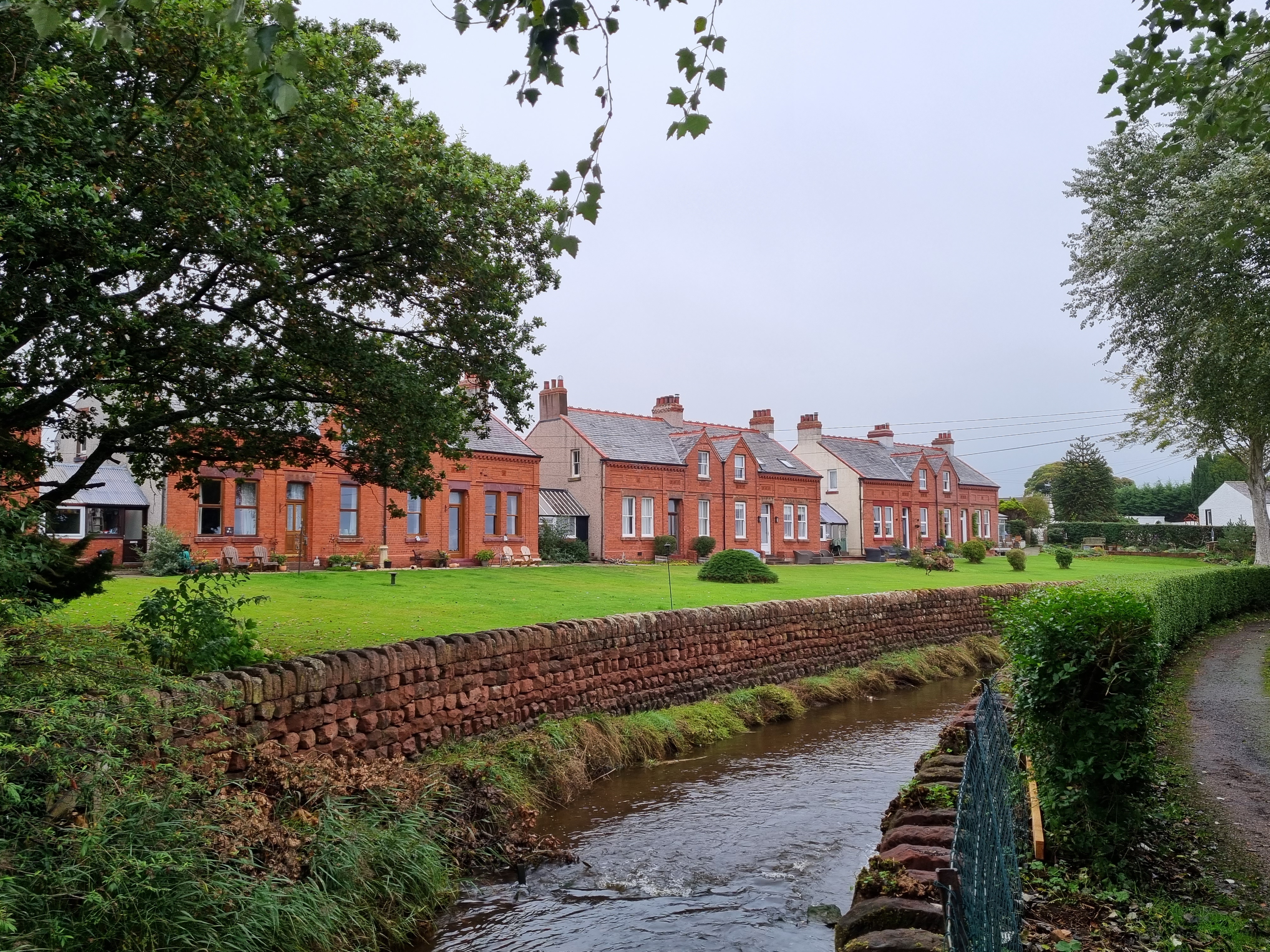
Kelhead is a small rural village located in the historic county of Dumfriesshire, Scotland. Situated approximately 10 miles northeast of Dumfries, the village lies on the eastern bank of the River Annan, near the border with the Scottish Borders region.
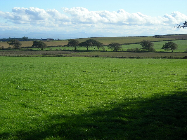
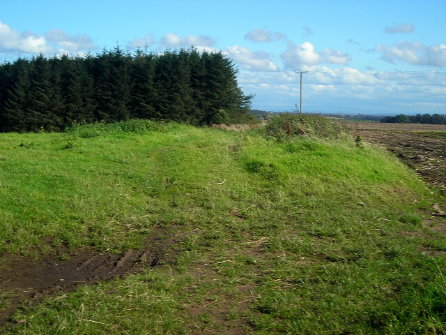
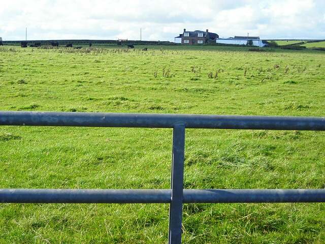
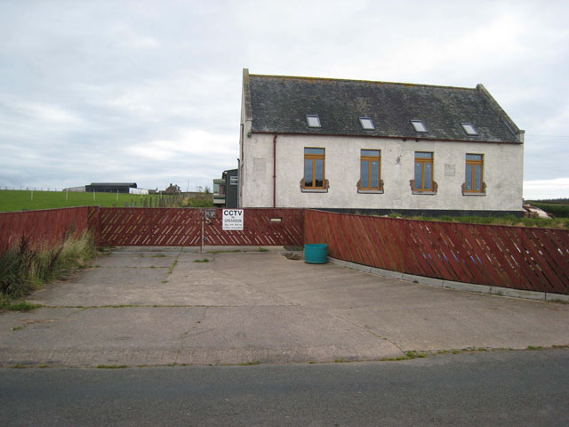
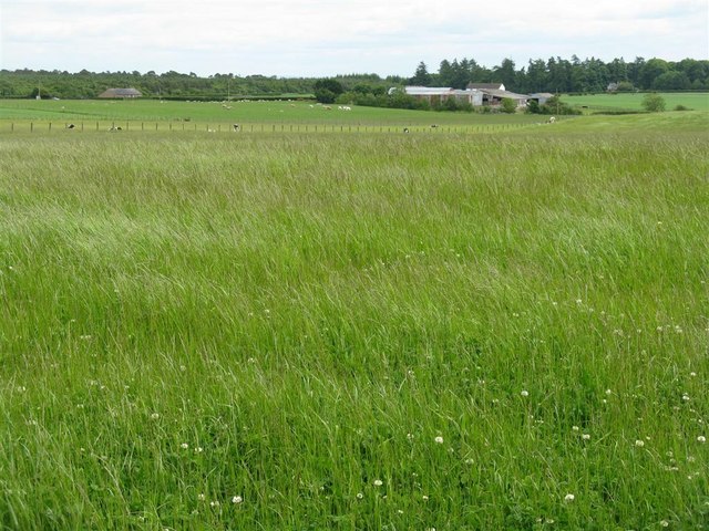
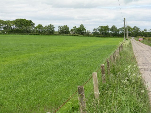
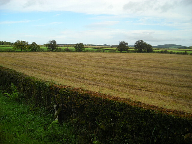
Characterized by its picturesque countryside setting, Kelhead is surrounded by rolling green hills and farmland, offering residents and visitors a tranquil and scenic environment. The village itself is comprised of a small cluster of houses and cottages, reflecting its close-knit community.
Despite its modest size, Kelhead has a rich history that dates back centuries. In the past, the village was primarily an agricultural community, with farming playing a vital role in the local economy. Today, while agriculture still remains significant, many residents are employed in nearby towns and cities.
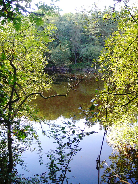
Kelhead's location near the River Annan makes it an ideal spot for outdoor enthusiasts. The river provides opportunities for fishing, and the surrounding countryside offers beautiful walking trails, allowing visitors to appreciate the natural beauty of the area.
Although Kelhead lacks some of the amenities found in larger towns, its close proximity to Dumfries ensures that essential services and facilities are easily accessible. Additionally, the village benefits from a strong sense of community, with various social events and gatherings organized throughout the year.
Overall, Kelhead is a charming village that offers a peaceful escape from urban life, boasting stunning landscapes and a friendly community.
If you have any feedback on the listing, please let us know in the comments section below.
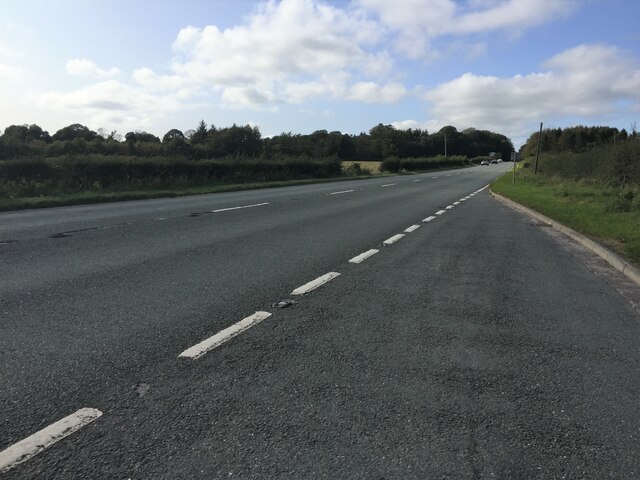
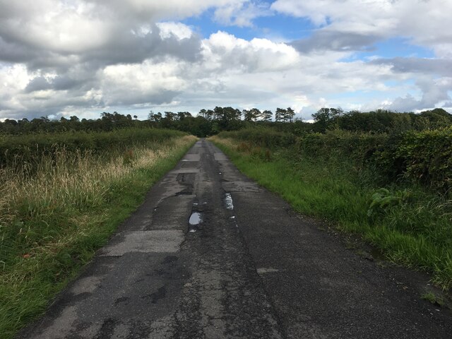
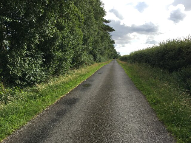
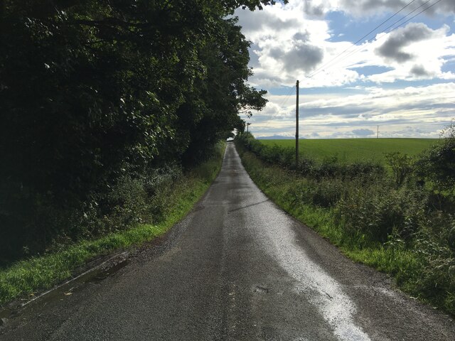
Kelhead Images
Images are sourced within 2km of 55.013453/-3.3375297 or Grid Reference NY1469. Thanks to Geograph Open Source API. All images are credited.


Kelhead is located at Grid Ref: NY1469 (Lat: 55.013453, Lng: -3.3375297)
Unitary Authority: Dumfries and Galloway
Police Authority: Dumfries and Galloway
What 3 Words
///greed.amphibian.unscrew. Near Annan, Dumfries & Galloway
Nearby Locations
Related Wikis
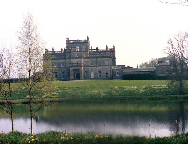
Kinmount House
Kinmount House is a 19th-century country house in the parish of Cummertrees in the historic county of Dumfriesshire in Dumfries and Galloway region, Scotland...
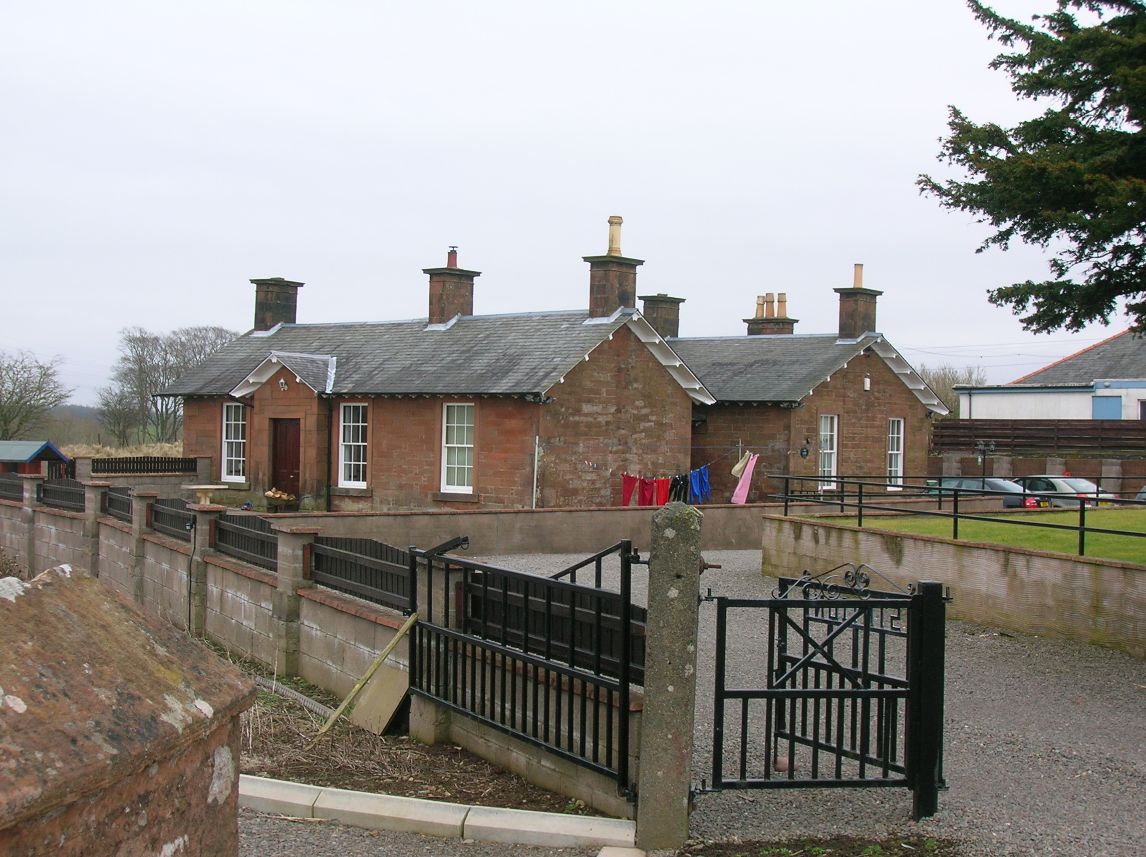
Cummertrees railway station
Cummertrees railway station was a railway station in Dumfries and Galloway south of Dumfries, serving the village of Cummertrees. The village lies some...
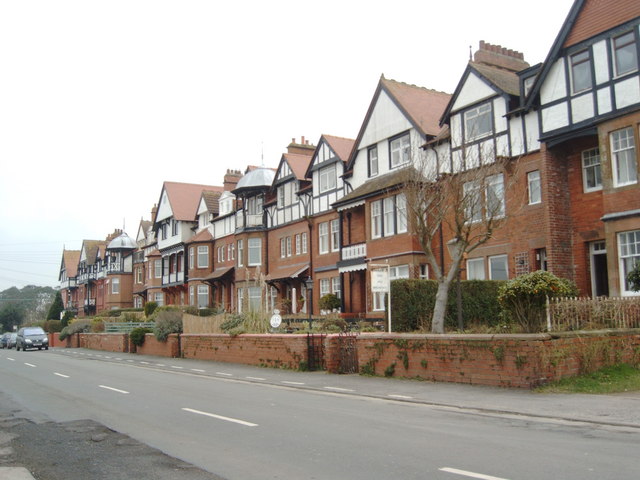
Cummertrees
Cummertrees is a coastal village and civil parish of Annandale in the historical county of Dumfriesshire in Dumfries and Galloway. It lies about 1 mile...
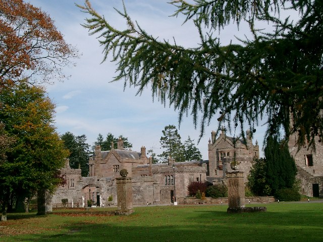
Hoddom Castle
Hoddom Castle is a large tower house in Dumfries and Galloway, south Scotland. It is located by the River Annan, 4 kilometres (2.5 mi) south-west of Ecclefechan...

Powfoot Halt railway station
Powfoot Halt railway station was a railway station in Powfoot, near Dumfries and Galloway, Scotland, south of Cummertrees serving the workers at the MOD...

Hoddom
Hoddom is a small settlement and civil parish in Dumfries and Galloway, Scotland, dating back to the 8th century. == Location == Hoddom is 13 miles by...
Powfoot
Powfoot is a coastal village in Dumfries and Galloway, Scotland that lies on the northern shore of the Solway Firth.It is located approximately 4 miles...
Annandale, Dumfries and Galloway
Annandale (Gaelic: Srath Anann) is a strath in Dumfries and Galloway, Scotland, named after the dale of the River Annan. It runs north–south through the...
Nearby Amenities
Located within 500m of 55.013453,-3.3375297Have you been to Kelhead?
Leave your review of Kelhead below (or comments, questions and feedback).