Jug's Green

Settlement in Herefordshire

England

Jug's Green

Bridge over the River Leadon Bridge over the River Leadon on the B4214, north of Ledbury.
Bridge over the River Leadon Credit: Philip Halling

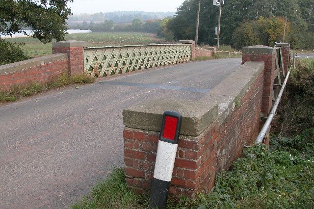
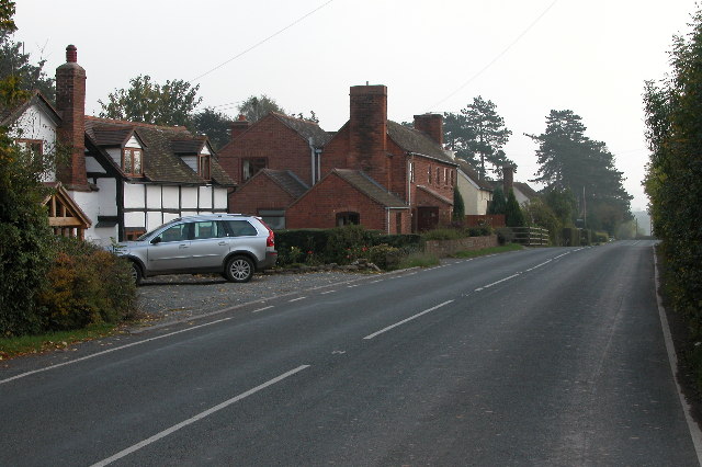
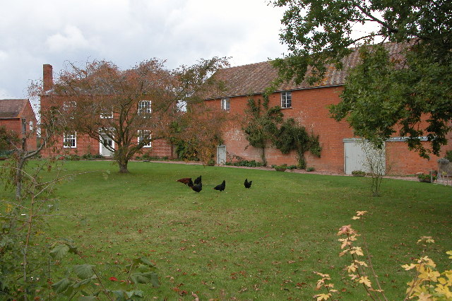
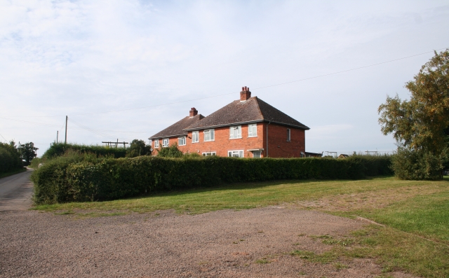
Jug's Green is a small village located in the county of Herefordshire, England. Situated in the picturesque countryside, this tranquil settlement is known for its idyllic surroundings and charming rural atmosphere. With a population of around 300 residents, Jug's Green offers a close-knit community that is proud of its heritage and natural beauty.

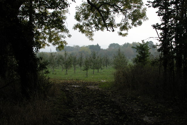
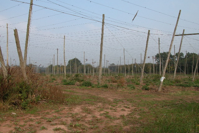
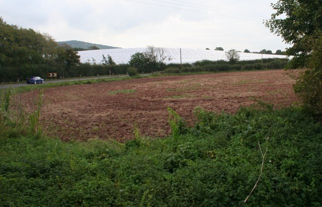
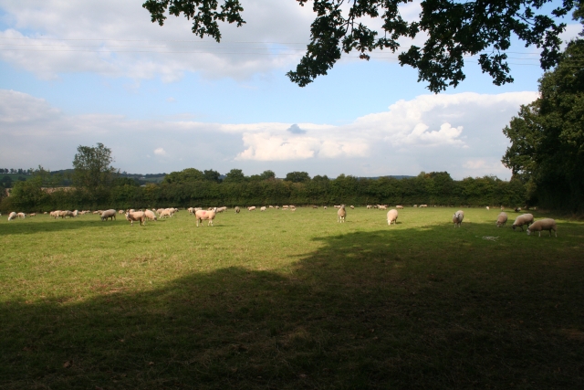
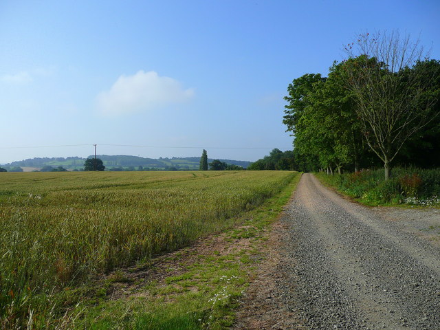
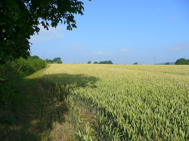
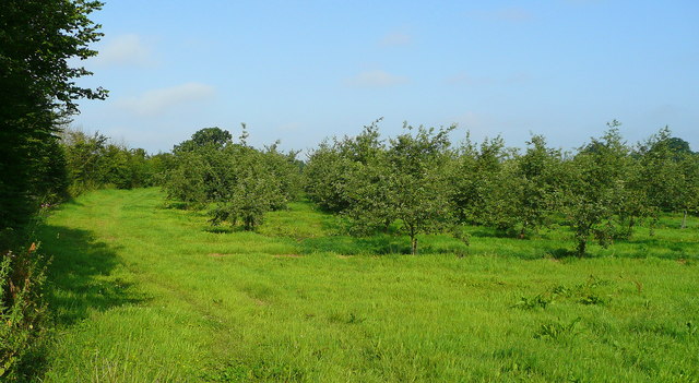
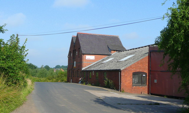
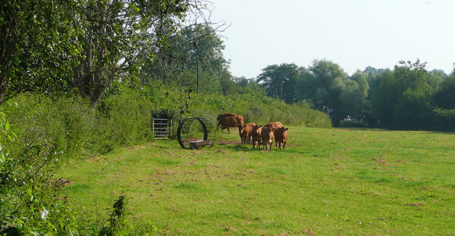
The village is nestled amidst rolling hills and lush green landscapes, providing breathtaking views and ample opportunities for outdoor activities. It is surrounded by farmland, with agriculture being a significant part of the local economy. The fertile soil and favorable climate make it an ideal location for farming, particularly for the cultivation of crops such as wheat, barley, and potatoes.

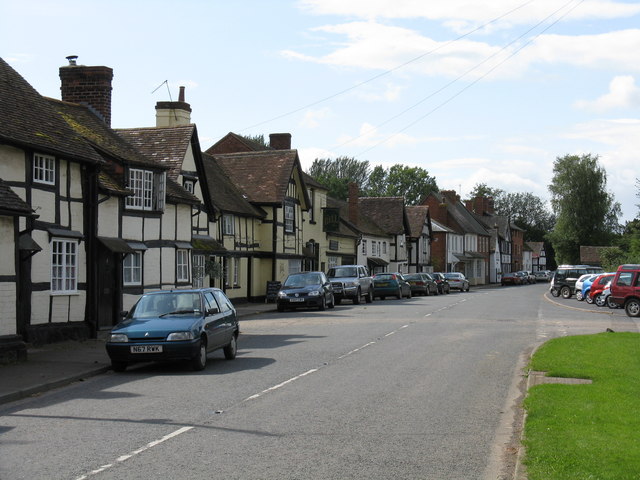
Despite its small size, Jug's Green boasts a few amenities for its residents and visitors. The village is home to a traditional pub, The Green Jug, which serves as a gathering place for locals and a popular spot for visitors to enjoy a hearty meal or a refreshing drink. Additionally, there is a village hall that hosts various community events and gatherings throughout the year.

For those seeking a peaceful countryside retreat, Jug's Green offers a range of accommodation options, including charming bed and breakfasts and self-catering cottages. Visitors can take leisurely walks along the village's country lanes, exploring the beauty of the surrounding nature and enjoying the tranquility that the area has to offer.

In summary, Jug's Green is a picturesque village in Herefordshire, known for its stunning countryside, close-knit community, and traditional amenities. It provides a peaceful escape for residents and visitors alike, showcasing the beauty of rural England.

If you have any feedback on the listing, please let us know in the comments section below.
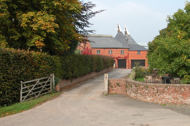
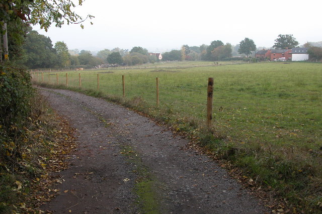
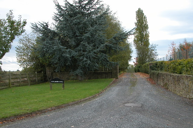
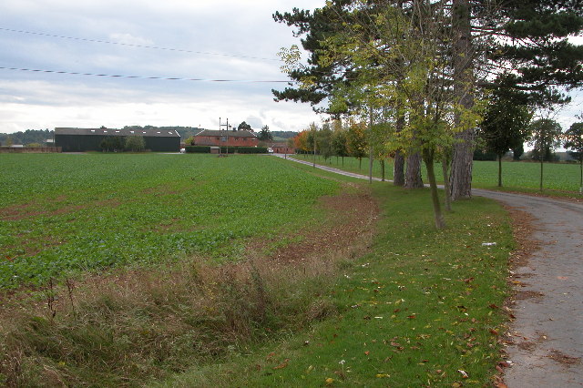
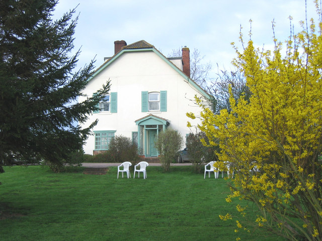
Jug's Green Images

Images are sourced within 2km of 52.064912/-2.4545073 or Grid Reference SO6840. Thanks to Geograph Open Source API. All images are credited.

Bridge over the River Leadon Bridge over the River Leadon on the B4214, north of Ledbury.
Bridge over the River Leadon
Bridge over the River Leadon on the B4214, north of Ledbury.
Staplow Staplow is a small hamlet on the B4214, north of Ledbury
Staplow
Staplow is a small hamlet on the B4214, north of Ledbury
Apple Orchard near Staplow This apple orchard is beside the B4214 just north of Staplow.
Apple Orchard near Staplow
This apple orchard is beside the B4214 just north of Staplow.
Hop field at Cold Green Hop fields such as this are a common sight in Herefordshire.
Hop field at Cold Green
Hop fields such as this are a common sight in Herefordshire.
Hop kilns at Coldgreen Farm
Track to Swinmore Common
Entrance to Paunceford Court Entrance and driveway to Paunceford Court.
Entrance to Paunceford Court
Entrance and driveway to Paunceford Court.
Driveway to Marley Hall
Baregains, near Munsley Red-brick farm building at Baregains Farm near Munsley.
Baregains, near Munsley
Red-brick farm building at Baregains Farm near Munsley.
Polytunnels,  North of Ledbury Taken from the <a href="https://www.geograph.org.uk/photo/66558">SO6940 : Bridge over the River Leadon</a>.
Polytunnels, North of Ledbury
Sheep Pasture Near the track to Swinmore Common
Sheep Pasture
Near the track to Swinmore Common
Cold Green Agricultural workers' cottages.
Cold Green
Agricultural workers' cottages.
Munsley Acre A guest house run by cyclists in the herefordshire countryside.
Munsley Acre
A guest house run by cyclists in the herefordshire countryside.
Track and bridleway to Quatsford In the distance are the Wall Hills to the west of Ledbury.
Track and bridleway to Quatsford
In the distance are the Wall Hills to the west of Ledbury.
Wheat field, Munsley Green Looking west parallel to the lane.
Wheat field, Munsley Green
Looking west parallel to the lane.
Orchards west of Jug's Green Older apples here; probably eating, not cider, judging by the spacing.
Orchards west of Jug's Green
Older apples here; probably eating, not cider, judging by the spacing.
Buildings at Jug's Green Look to have been converted to offices; currently to let.
Buildings at Jug's Green
Look to have been converted to offices; currently to let.
Young cattle at Storesbrook In pasture to the east of the Plaistow Lane.
Young cattle at Storesbrook
In pasture to the east of the Plaistow Lane.
Show me another place!

Jug's Green is located at Grid Ref: SO6840 (Lat: 52.064912, Lng: -2.4545073)

Unitary Authority: County of Herefordshire

Police Authority: West Merica

What 3 Words

///balconies.motivate.clipboard. Near Ledbury, Herefordshire

Nearby Locations

Jug's Green

Related Wikis

Wellington Heath

Wellington Heath is a small village and civil parish in Herefordshire, England, approximately 1.5 miles (2.4 km) north of Ledbury. The population was recorded...

Munsley

Munsley is a village and civil parish 9 miles (14 km) east of Hereford, in the county of Herefordshire, England. In 2001 the parish had a population of...

Herefordshire and Gloucestershire Canal

The Herefordshire and Gloucestershire Canal (sometimes known as the Hereford and Gloucester Canal) is a canal in the west of England, which ran from Hereford...

Bosbury

Bosbury is a village and civil parish in Herefordshire, England, approximately 3.5 miles (5.6 km) north of Ledbury. The small River Leadon flows through...

Nearby Amenities

Located within 500m of 52.064912,-2.4545073
Power: pole
Lat/Long: 52.0637297/-2.4501698
Power: pole
Lat/Long: 52.0637816/-2.4513017
Power: pole
Lat/Long: 52.0638394/-2.4524537
Power: pole
Lat/Long: 52.0638773/-2.4535896
Power: pole
Lat/Long: 52.0639317/-2.4547188
Power: pole
Lat/Long: 52.0639787/-2.4557219
Power: pole
Lat/Long: 52.064029/-2.4567734
Power: pole
Lat/Long: 52.0640743/-2.457857
Power: pole
Lat/Long: 52.0641279/-2.4590519
Power: pole
Lat/Long: 52.0641799/-2.4601798
Power: pole
Lat/Long: 52.0642516/-2.4614646
Power: pole
Lat/Long: 52.0636283/-2.4479999
Power: pole
Lat/Long: 52.0636745/-2.4490339
Wood House
Power: pole
Transformer: distribution
Voltage Primary: 11000
Lat/Long: 52.0683248/-2.4525945
Power: pole
Lat/Long: 52.0675399/-2.4529915
Power: pole
Lat/Long: 52.0665762/-2.453487
Power: pole
Lat/Long: 52.065809/-2.4537458
Power: pole
Lat/Long: 52.065243/-2.453945
Jug's Green
Power: pole
Transformer: distribution
Voltage Primary: 11000
Lat/Long: 52.0647669/-2.4538243
Baregains Staplow
Power: pole
Transformer: distribution
Voltage Primary: 11000
Lat/Long: 52.0658473/-2.4610917
Power: pole
Lat/Long: 52.0649606/-2.4605982
The data included in this document is from www.openstreetmap.org. The data is made available under ODbL.

Have you been to Jug's Green?

Leave your review of Jug's Green below (or comments, questions and feedback).