Jennyfield

Settlement in Yorkshire Harrogate

England

Jennyfield

Pump Room Harrogate The splendour of spa town Harrogate
Pump Room Harrogate Credit: John Tomlinson

Jennyfield is a residential area located in Harrogate, North Yorkshire, England. Situated approximately three miles northwest of Harrogate town center, it is predominantly a housing estate that provides homes for a substantial number of local residents.

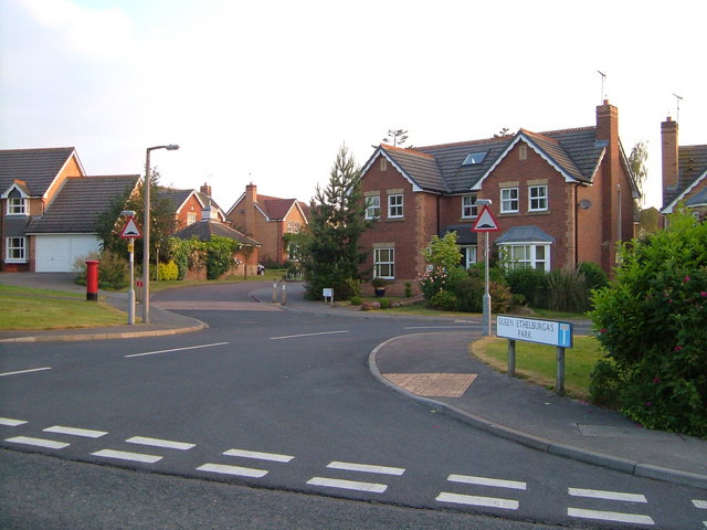
The area of Jennyfield is known for its quiet and family-friendly atmosphere. It features a mix of housing types, including detached and semi-detached houses, as well as some apartment buildings. The houses are typically well-maintained with neat gardens, contributing to the overall aesthetic appeal of the neighborhood.

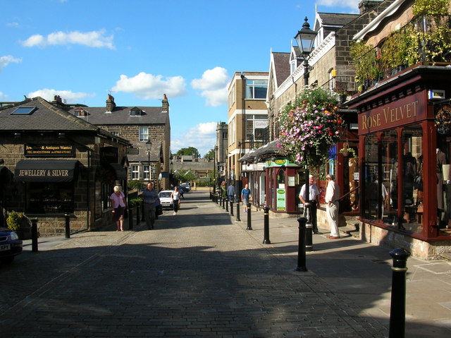
Jennyfield benefits from several amenities that cater to the needs of its residents. A local shopping center, known as Jennyfield District Centre, offers a range of essential amenities, including a supermarket, pharmacy, and various small shops. The area also boasts a community center that hosts a variety of activities and events, serving as a hub for local residents to socialize and engage in community initiatives.

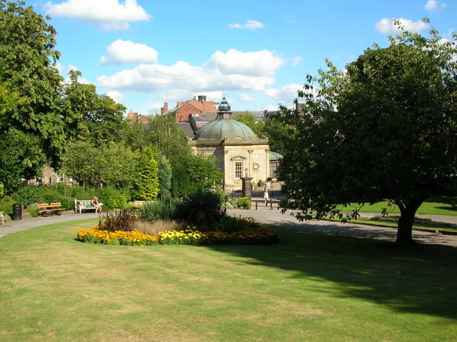
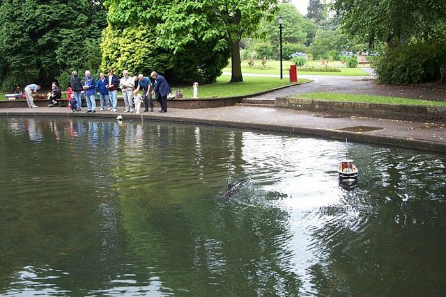
Green spaces are also plentiful in Jennyfield, with several parks and open areas available for recreational activities. One such park is Jennyfield Nature Reserve, which offers walking trails and provides a habitat for a diverse range of flora and fauna.

Transportation in Jennyfield is well-served, with regular bus services connecting the area to Harrogate town center and surrounding regions. The proximity to Harrogate also allows residents to easily access the wider range of amenities, attractions, and employment opportunities available in the town.

Overall, Jennyfield offers a pleasant and peaceful environment for its residents, with its well-maintained houses, community amenities, and access to green spaces contributing to its appeal as a desirable place to live in Yorkshire.

If you have any feedback on the listing, please let us know in the comments section below.
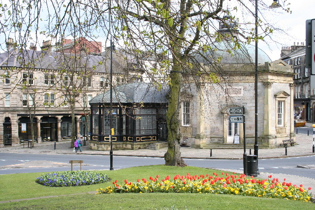
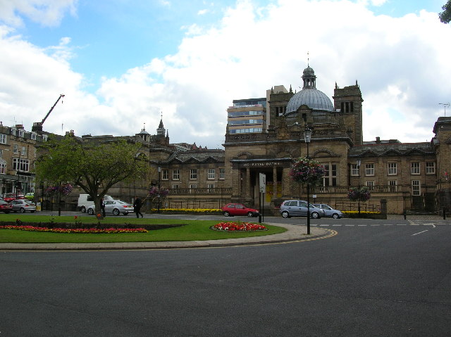
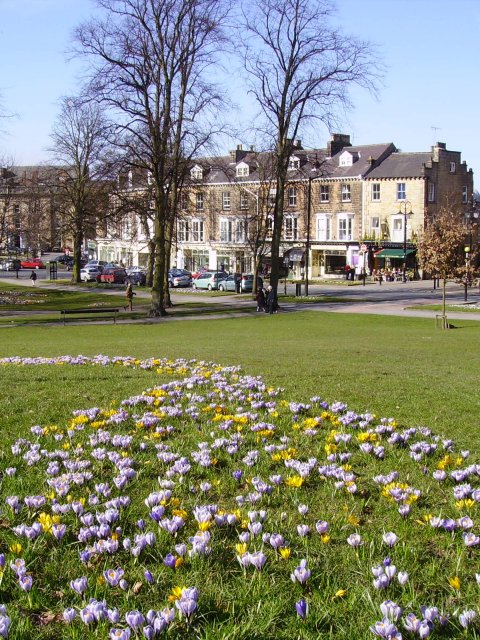
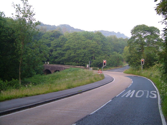
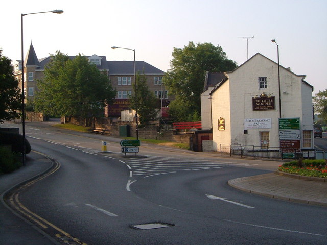
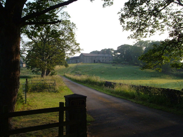
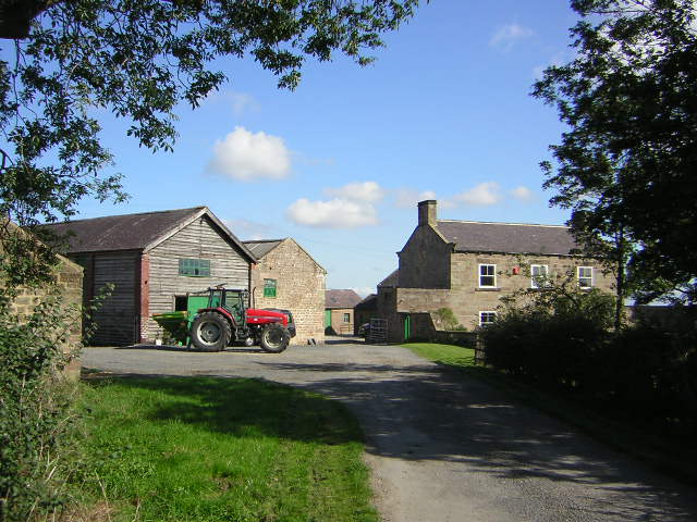
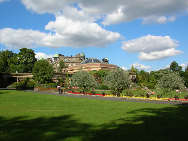
Jennyfield Images

Images are sourced within 2km of 54.003055/-1.5598795 or Grid Reference SE2856. Thanks to Geograph Open Source API. All images are credited.

Pump Room Harrogate The splendour of spa town Harrogate
Pump Room Harrogate
The splendour of spa town Harrogate
The Royal Baths The Turkish Baths in Harrogate have been recently restored in this magnificent building opposite the Royal Hall.
The Royal Baths
The Turkish Baths in Harrogate have been recently restored in this magnificent building opposite the Royal Hall.
Crocuses & Montpellier Montpellier is the small area of Harrogate between Bettys tea rooms and the Crown Hotel. There are many tea shops and antique shops in this part.
Crocuses & Montpellier
Montpellier is the small area of Harrogate between Bettys tea rooms and the Crown Hotel. There are many tea shops and antique shops in this part.
Oakdale Bridge Lights control traffic crossing this bridge over the Oak Beck on the western edge of Harrogate.
Oakdale Bridge
Lights control traffic crossing this bridge over the Oak Beck on the western edge of Harrogate.
Queen Ethelburga's Park, Penny Pot Lane This estate was built in the 1990s on the site of the former Queen Ethelburga's College after it moved to Thorpe Underwood. The postbox is number HG3 172.
Queen Ethelburga's Park, Penny Pot Lane
This estate was built in the 1990s on the site of the former Queen Ethelburga's College after it moved to Thorpe Underwood. The postbox is number HG3 172.
Traveller's Rest, Skipton Road One of two Traveller's Rests close to Harrogate (see <a href="https://www.geograph.org.uk/photo/194069">SE3354 : Traveller's Rest, Crimple</a>). This one is on a busy roundabout northwest of the town where the B6161 crosses the A59 to Skipton.
Traveller's Rest, Skipton Road
One of two Traveller's Rests close to Harrogate (see SE3354 : Traveller's Rest, Crimple). This one is on a busy roundabout northwest of the town where the B6161 crosses the A59 to Skipton.
Grainbeck Lane, Killinghall Looking up the lane to a cottage from the bridge over the tiny Grain Beck.
Grainbeck Lane, Killinghall
Looking up the lane to a cottage from the bridge over the tiny Grain Beck.
Spruisty Bridge, Knox A C17 packhorse bridge over the Oak Beck just to the north of Harrogate, in the attractive hamlet of Knox.
Spruisty Bridge, Knox
A C17 packhorse bridge over the Oak Beck just to the north of Harrogate, in the attractive hamlet of Knox.
The Little Wonder, Harrogate This pub is on a busy roundabout where the A59 Skipton Road (approaching from  the left) crosses the A61 Ripon Road coming from the town centre (right of the pub).
The Little Wonder, Harrogate
This pub is on a busy roundabout where the A59 Skipton Road (approaching from the left) crosses the A61 Ripon Road coming from the town centre (right of the pub).
Cow Dyke Farm Farm northwest of Harrogate seen from Cow Dyke Bridge on the A59 Skipton Road.
Cow Dyke Farm
Farm northwest of Harrogate seen from Cow Dyke Bridge on the A59 Skipton Road.
Spruisty Hall Farm Early September and feed for the sheep is being loaded on the tractor. Photograph taken from where the Public Footpath leaves the farm access road.
Spruisty Hall Farm
Early September and feed for the sheep is being loaded on the tractor. Photograph taken from where the Public Footpath leaves the farm access road.
Sun Pavilions The Valley Gardens in Harrogate. Taken from close to the bandstand.
Sun Pavilions
The Valley Gardens in Harrogate. Taken from close to the bandstand.
Pump Rooms Taken from the Valley gardens. The pump rooms still provide the opportunity to try  Harrogate's famous sulphur water. The stream flowing through the valley gardens smells strongly of the sulphur water.
Pump Rooms
Taken from the Valley gardens. The pump rooms still provide the opportunity to try Harrogate's famous sulphur water. The stream flowing through the valley gardens smells strongly of the sulphur water.
Montpellier One of the back streets off Montpellier in Harrogate. The Royal Baths is straight ahead (not really visible).
Montpellier
One of the back streets off Montpellier in Harrogate. The Royal Baths is straight ahead (not really visible).
Spruisty Hill Farm Southernmost of three Spruisty Farms near Killinghall
Spruisty Hill Farm
Southernmost of three Spruisty Farms near Killinghall
Valley Gardens, Harrogate. The model boat pond.  They say that you can tell the men from the boys by the cost of their toys - and, yes, that is a submarine.
Valley Gardens, Harrogate.
The model boat pond. They say that you can tell the men from the boys by the cost of their toys - and, yes, that is a submarine.
Valley Gardens, Harrogate. Some "real steam" model boats on the pond.
Valley Gardens, Harrogate.
Some "real steam" model boats on the pond.
Valley Gardens, Harrogate. Listening to the band.
Valley Gardens, Harrogate.
Listening to the band.
Show me another place!

Jennyfield is located at Grid Ref: SE2856 (Lat: 54.003055, Lng: -1.5598795)

Division: West Riding

Administrative County: North Yorkshire

District: Harrogate

Police Authority: North Yorkshire

What 3 Words

///chop.ruling.living. Near Harrogate, North Yorkshire

Related Wikis

Harrogate power station

Harrogate power station supplied electricity to the town of Harrogate and the surrounding area from 1897 to 1960. The power station was built by the Harrogate...

Harrogate Ladies' College

Harrogate Ladies' College is an independent boarding and day school located in the town of Harrogate, North Yorkshire, England. Founded as a girls' senior...

St Wilfrid's Church, Harrogate

St Wilfrid's Church, Harrogate is an Anglican parish church in the town of Harrogate, North Yorkshire, England. It is a Grade I listed building, the only...

Old Swan Hotel

The Old Swan Hotel in Harrogate, North Yorkshire, England, is part of the Classic Lodges group. == History == Hospitality has been available on the site...

Majestic Hotel, Harrogate

The Majestic Hotel or Hotel Majestic, now officially known as the DoubleTree by Hilton Harrogate Majestic Hotel & Spa, is an historic hotel in Harrogate...

Harrogate Council Offices

The Harrogate Council Offices is a municipal building in Crescent Gardens in Harrogate, North Yorkshire, England. == History == The council offices were...

Royal Pump Room, Harrogate

The Royal Pump Room is a Grade II* listed building in Harrogate, North Yorkshire, England. Today it houses the town's museum – operated by Harrogate Borough...

Harrogate Convention Centre

Harrogate Convention Centre is a convention and exhibition centre in Harrogate, North Yorkshire, England. == History == Previously named Harrogate International...

Nearby Amenities

Located within 500m of 54.003055,-1.5598795
Jennyfield
Is In: Harrogate, North Yorkshire, England
Place: suburb
Lat/Long: 54.0032191/-1.5665652
Crossing
Crossing: traffic_signals
Crossing Ref: toucan
Lat/Long: 54.0031145/-1.5635601
Created By: Merkaartor 0.12
Lat/Long: 54.0020686/-1.5649133
Created By: Merkaartor 0.12
Lat/Long: 54.0019866/-1.5648758
Created By: Merkaartor 0.12
Lat/Long: 54.0019141/-1.5647148
Created By: Merkaartor 0.12
Lat/Long: 54.0018889/-1.5641945
Created By: Merkaartor 0.12
Lat/Long: 54.001892/-1.564087
Design: barrel
Material: metal
Power: tower
Source: survey
Lat/Long: 54.0048768/-1.5570952
Design: barrel
Material: metal
Power: tower
Lat/Long: 54.0026077/-1.5564971
Design: three-level
Line Management: split
Location Transition: yes
Material: metal
Power: tower
Lat/Long: 54.0015465/-1.5545838
Golf: tee
Ref: 9
Tee: red
Lat/Long: 53.9985985/-1.5594131
Golf: pin
Ref: 8
Lat/Long: 53.9988348/-1.5598554
Golf: tee
Ref: 2
Tee: red
Lat/Long: 53.9994271/-1.5609989
Golf: tee
Ref: 2
Tee: yellow
Lat/Long: 53.9995662/-1.5606394
Golf: tee
Ref: 2
Tee: white
Lat/Long: 53.9996031/-1.5605418
Golf: tee
Ref: 16
Tee: yellow
Lat/Long: 53.9997661/-1.5650247
Golf: tee
Ref: 16
Tee: white
Lat/Long: 53.9998688/-1.5649498
Golf: pin
Ref: 1
Lat/Long: 53.9999374/-1.5600193
Golf: tee
Ref: 18
Tee: red
Lat/Long: 54.0003473/-1.5595712
Golf: pin
Ref: 17
Lat/Long: 54.0004242/-1.5601311
Golf: tee
Ref: 18
Tee: yellow
Lat/Long: 54.0004942/-1.5597725
Golf: tee
Ref: 18
Tee: white
Lat/Long: 54.0006447/-1.5599786
Bus Stop
Bench: yes
Bin: yes
Bus: yes
Naptan AtcoCode: 3200YND80770
Naptan NaptanCode: 32080770
Public Transport: platform
Shelter: yes
Lat/Long: 54.0030184/-1.5569913
Bus Stop
Bench: yes
Bin: no
Bus: yes
Public Transport: platform
Shelter: yes
Tactile Paving: no
Lat/Long: 54.0027016/-1.5563933
Post Office
Addr City: Harrogate
Addr Postcode: HG3 2XS
Addr Street: Grantley Drive
Addr Suburb: Jennyfields
Note: is within the co-op supermarket
Lat/Long: 54.0025155/-1.558027
Fast Food
Cuisine: pizza
Lat/Long: 54.0022947/-1.5593009
Fast Food
Cuisine: chinese
Lat/Long: 54.0024098/-1.5592983
Fast Food
Cuisine: indian
Lat/Long: 54.0023578/-1.5593037
Crossing
Crossing: unmarked
Crossing Island: no
Tactile Paving: yes
Lat/Long: 54.0029283/-1.5591004
Pharmacy
Boots
Addr City: Harrogate
Addr Postcode: HG3 2XQ
Addr Street: Jennyfield Drive
Addr Suburb: Jennyfields
Brand Wikidata: Q6123139
Dispensing: yes
Lat/Long: 54.0025161/-1.5575899
Bus Stop
Bus: yes
Lat/Long: 54.0032035/-1.5639521
Crossing
Crossing: unmarked
Crossing Island: no
Tactile Paving: no
Lat/Long: 54.0019912/-1.5553265
Generator Method: photovoltaic
Generator Output Electricity: yes
Generator Source: solar
Generator Type: solar_photovoltaic_panel
Power: generator
Lat/Long: 54.0061565/-1.5652945
Bus Stop
Bus: yes
Naptan AtcoCode: 3200YND80680
Naptan NaptanCode: 32080680
Public Transport: platform
Lat/Long: 54.0063961/-1.5589855
Bus Stop
Bus: yes
Public Transport: platform
Lat/Long: 54.003632/-1.55994
Bus Stop
Bus: yes
Public Transport: platform
Lat/Long: 54.0033967/-1.5674311
Design: h-frame
Material: concrete
Power: tower
Lat/Long: 54.0014447/-1.5543143
Bus Stop
Bus: yes
Naptan AtcoCode: 3200YND80760
Naptan NaptanCode: 32080760
Public Transport: platform
Lat/Long: 54.0031095/-1.5594106
Saltergate
Place: neighbourhood
Lat/Long: 54.0056265/-1.5582157
Information: guidepost
Tourism: information
Lat/Long: 54.0030801/-1.5635345
Information: guidepost
Tourism: information
Lat/Long: 54.0032799/-1.5631912
Information: guidepost
Tourism: information
Lat/Long: 54.0063058/-1.563228
The data included in this document is from www.openstreetmap.org. The data is made available under ODbL.

Have you been to Jennyfield?

Leave your review of Jennyfield below (or comments, questions and feedback).