Ivy Mead
Settlement in Wiltshire
England
Ivy Mead
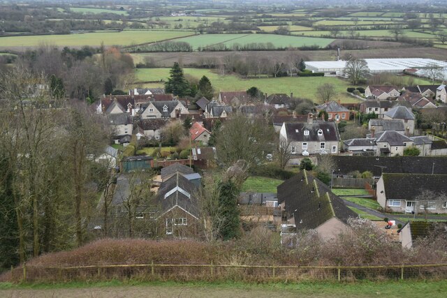
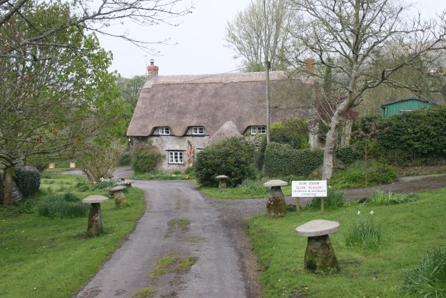
Ivy Mead is a small village located in the county of Wiltshire, England. Situated in the southern region of the county, it is nestled amidst picturesque countryside, boasting beautiful landscapes and tranquil surroundings. The village is part of the civil parish of Broad Chalke, and it lies approximately 12 miles southwest of the city of Salisbury.
With a population of around 200 residents, Ivy Mead offers a close-knit community atmosphere. The village is known for its charming thatched cottages, which add to its traditional English countryside appeal. Surrounded by fields and woodlands, it provides a peaceful retreat for those seeking a quieter pace of life.
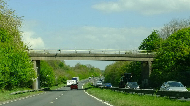
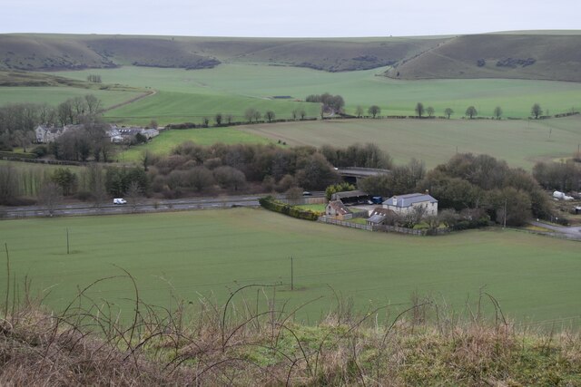
The village is well-connected to nearby towns and cities, with good road links and public transportation options available. The nearby A354 road provides easy access to Salisbury, which offers a wider range of amenities including shopping centers, healthcare facilities, and educational institutions.
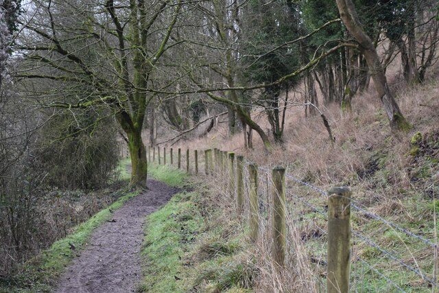
Nature enthusiasts and outdoor lovers will find plenty to explore in the surrounding area. The village is located close to the Cranborne Chase Area of Outstanding Natural Beauty, offering opportunities for hiking, cycling, and wildlife spotting. Additionally, the River Ebble flows nearby, providing a scenic spot for walks and picnics.
Although Ivy Mead is a small village, it offers a community hall and a village pub, serving as hubs for social gatherings and events. Overall, Ivy Mead is a charming and idyllic village, perfect for those seeking a peaceful and rural lifestyle amidst the stunning Wiltshire countryside.
If you have any feedback on the listing, please let us know in the comments section below.
Ivy Mead Images
Images are sourced within 2km of 51.089545/-2.2630268 or Grid Reference ST8132. Thanks to Geograph Open Source API. All images are credited.


Ivy Mead is located at Grid Ref: ST8132 (Lat: 51.089545, Lng: -2.2630268)
Unitary Authority: Wiltshire
Police Authority: Wiltshire
What 3 Words
///drawn.ignoring.gifted. Near Mere, Wiltshire
Nearby Locations
Related Wikis

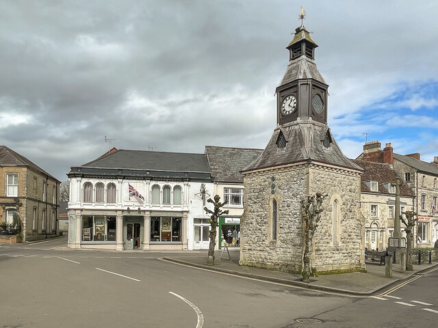
Mere, Wiltshire
Mere is a market town and civil parish in Wiltshire, England. It lies at the extreme southwestern tip of Salisbury Plain, close to the borders of Somerset...

Castle Hill, Mere
Castle Hill, also called Mere Castle, was a medieval fortification built by Richard, the Earl of Cornwall, in 1253 on a hill overlooking the town of Mere...

Dead Maid Quarry
Dead Maid Quarry (grid reference ST803324) is a 4,400 square metre geological Site of Special Scientific Interest in Mere, Wiltshire, England, notified...
Charnage Down Chalk Pit
Charnage Down Chalk Pit (grid reference ST837329) is a 3.7 hectare geological Site of Special Scientific Interest in Wiltshire, England, lying east of...
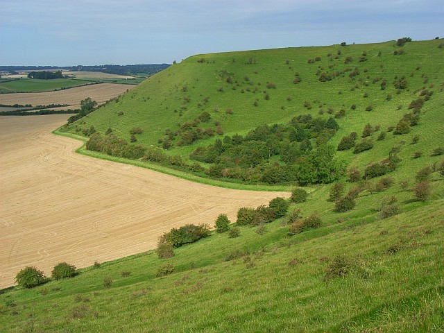
White Sheet Hill
White Sheet Hill, also known as Whitesheet Hill, is a hill in the English county of Wiltshire. As one of the most westerly areas of downland in Britain...

Barrow Street, Wiltshire
Barrow Street is a hamlet in Wiltshire, England, about 1.9 miles (3.1 km) southeast of the town of Mere. The name comes from the early Bronze Age bowl...
Zeals
Zeals is a village and civil parish in southwest Wiltshire, England. The village is about 2.2 miles (3.5 km) west of Mere, next to the A303 road towards...

Milton on Stour
Milton on Stour is a small village in North Dorset, England. It lies on the River Stour, a mile north of the town of Gillingham. The Church of St Simon...
Nearby Amenities
Located within 500m of 51.089545,-2.2630268Have you been to Ivy Mead?
Leave your review of Ivy Mead below (or comments, questions and feedback).