Itton
Settlement in Devon West Devon
England
Itton
Itton is a small village located in the county of Devon, England. Situated in the South Hams district, Itton is nestled amidst picturesque countryside and offers a tranquil and idyllic setting for its residents and visitors. The village is located approximately 5 miles northeast of Kingsbridge and around 20 miles south of the city of Plymouth.
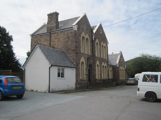
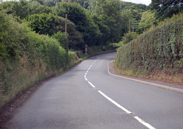
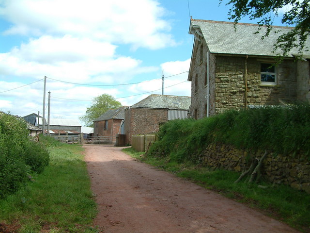
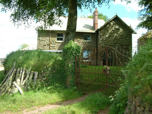
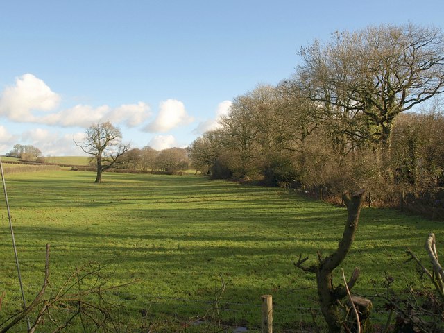
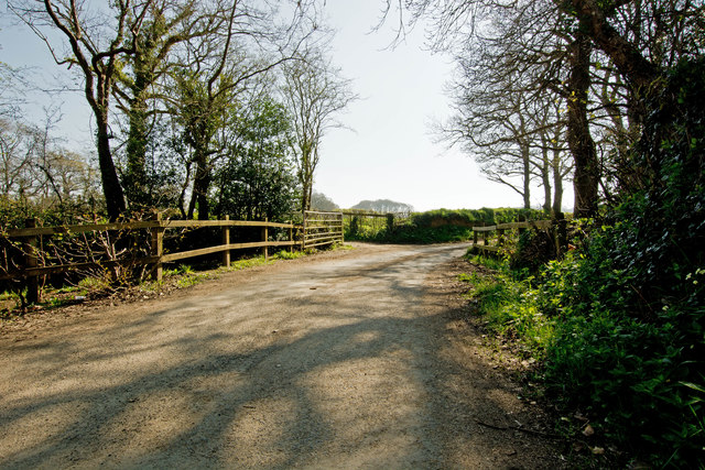
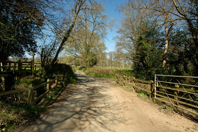
Itton is characterized by its small population and close-knit community. The village is primarily residential, consisting mainly of traditional stone cottages and a few modern houses. The surrounding landscape is dominated by rolling hills, green meadows, and farmland, providing a scenic backdrop for outdoor activities such as hiking and cycling.
Though Itton is a relatively quiet and rural village, it benefits from its proximity to nearby towns and cities, offering residents access to amenities and services. The village has a local primary school and a village hall that serves as a hub for community events and gatherings.
Historically, Itton has a rich heritage, with evidence of human activity in the area dating back to prehistoric times. The village boasts several historic landmarks, including a medieval church and a few ancient stone crosses. These remnants of the past add to the charm and character of Itton.
Overall, Itton is a charming and peaceful village that offers a close community feel and a picturesque setting for those seeking a rural lifestyle in the heart of Devon.
If you have any feedback on the listing, please let us know in the comments section below.
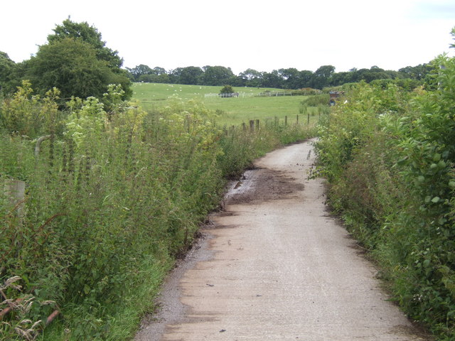
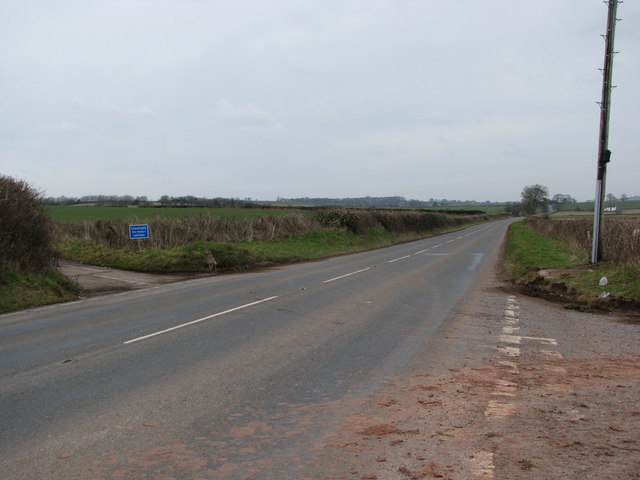
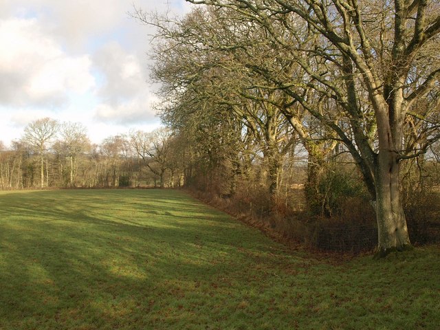
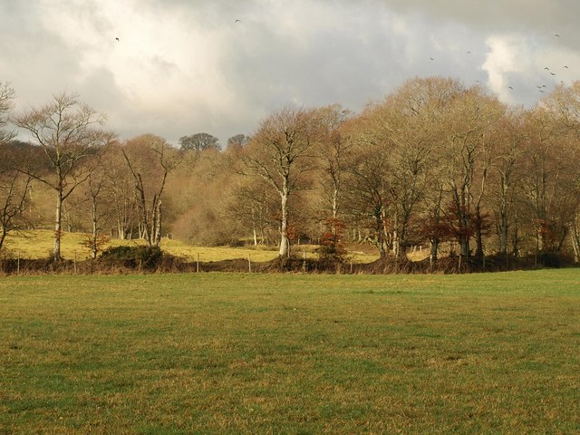
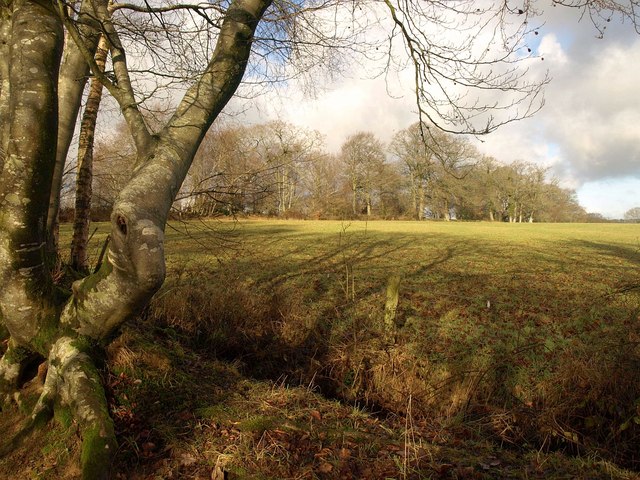
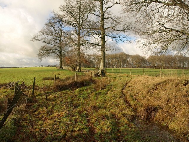
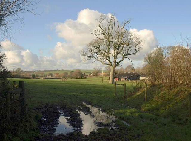
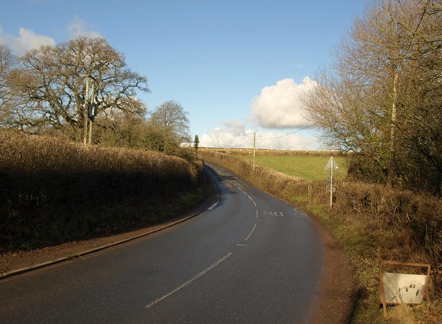
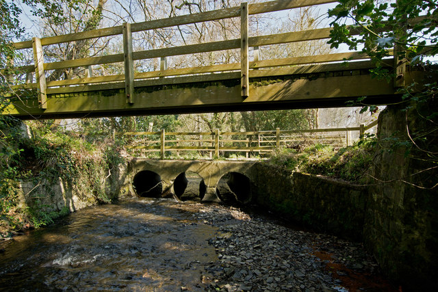
Itton Images
Images are sourced within 2km of 50.775449/-3.8715553 or Grid Reference SX6898. Thanks to Geograph Open Source API. All images are credited.

Itton is located at Grid Ref: SX6898 (Lat: 50.775449, Lng: -3.8715553)
Administrative County: Devon
District: West Devon
Police Authority: Devon and Cornwall
What 3 Words
///dispensed.lamp.twilight. Near North Tawton, Devon
Nearby Locations
Related Wikis
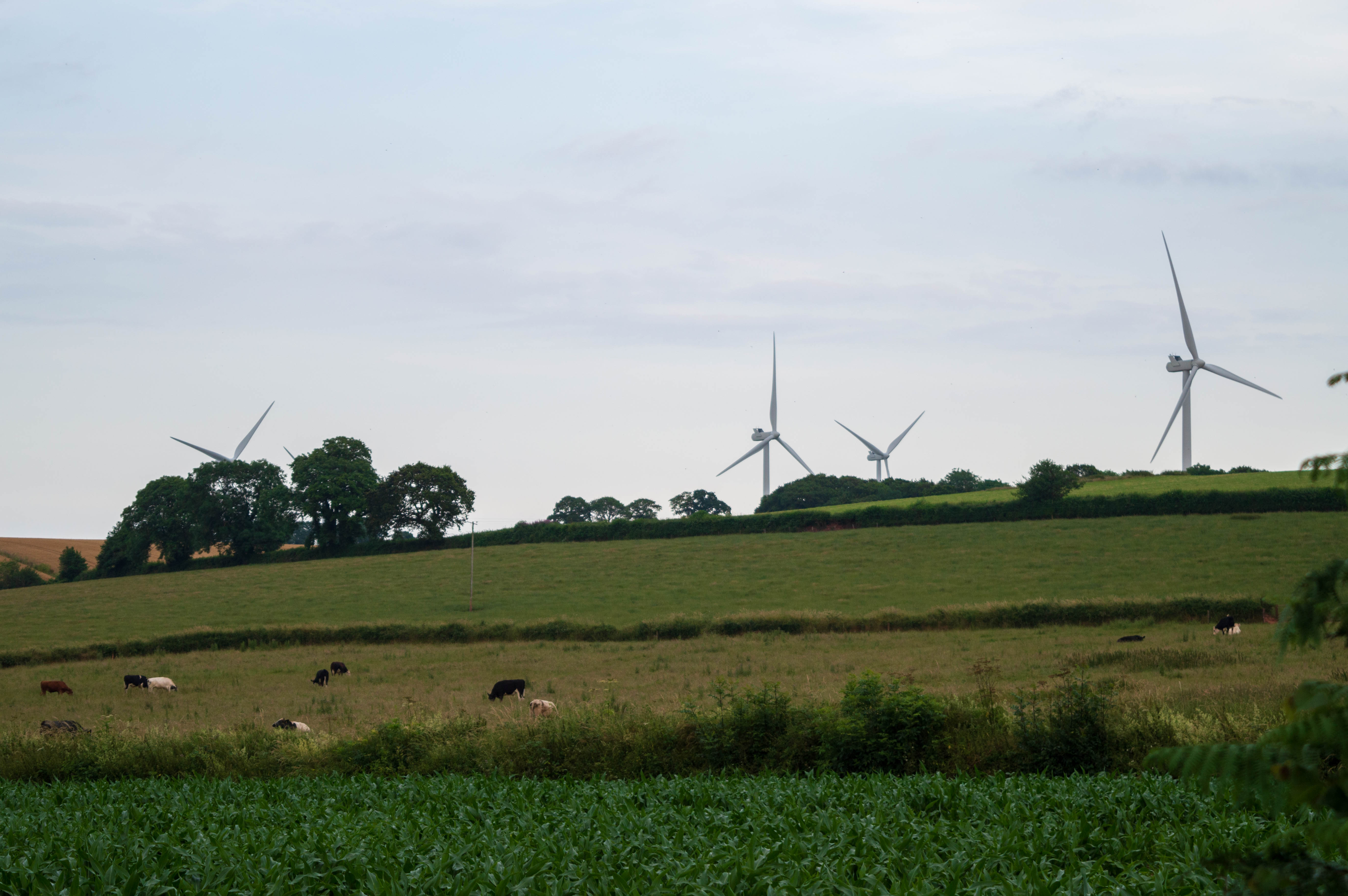
Den Brook Wind Farm
Den Brook Wind Farm is a windfarm in Devon, England. The windfarm is located 2 kilometres (1.2 mi) south-east of North Tawton and 2.5 kilometres (1.6 mi...

North Tawton railway station
North Tawton railway station was a railway station serving the town of North Tawton in Devon, England. North Tawton lies on the River Taw. == History... ==
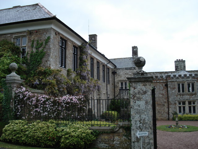
North Wyke
North Wyke is an historic manor in the parish of South Tawton, Devon. The surviving grade I listed manor house, the original Devonshire seat of the Wyke...
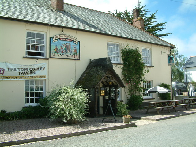
Tom Cobley Tavern
The Tom Cobley Tavern is a pub in Spreyton, Devon, England. It dates back to the 16th century, and may be the 1802 starting point of Uncle Tom Cobley and...
Nearby Amenities
Located within 500m of 50.775449,-3.8715553Have you been to Itton?
Leave your review of Itton below (or comments, questions and feedback).