Islington
Settlement in Yorkshire
England
Islington
Islington is a quaint village located in the county of Yorkshire, England. Situated in the heart of the Yorkshire Dales, it is surrounded by picturesque landscapes and offers a tranquil atmosphere for residents and visitors alike.
The village is known for its charming stone cottages, which line the streets and give it a traditional English countryside feel. Islington is also home to a medieval church, St. Peter's Church, which dates back to the 12th century. This historic building is a prominent feature of the village and attracts architecture enthusiasts.
Despite its small size, Islington has a close-knit community that takes pride in its local traditions and events. The village hosts an annual summer fair, where residents come together to enjoy games, live music, and local food. Additionally, Islington boasts a vibrant arts scene, with regular exhibitions and performances held at the village hall.
Nature lovers will find plenty to explore in Islington and its surroundings. The village is nestled amidst rolling hills, offering breathtaking views and endless opportunities for hiking, cycling, and picnicking. The nearby River Wharfe is also a popular spot for fishing and boating.
Islington is conveniently located near several larger towns and cities, making it an ideal base for exploring the wider region. The bustling market town of Skipton is just a short drive away and offers a range of amenities and attractions, including its famous 900-year-old castle.
In summary, Islington is a picturesque village in the heart of the Yorkshire Dales, offering a peaceful retreat and a strong sense of community. With its historic charm and natural beauty, it is a hidden gem for those seeking a quintessential English countryside experience.
If you have any feedback on the listing, please let us know in the comments section below.
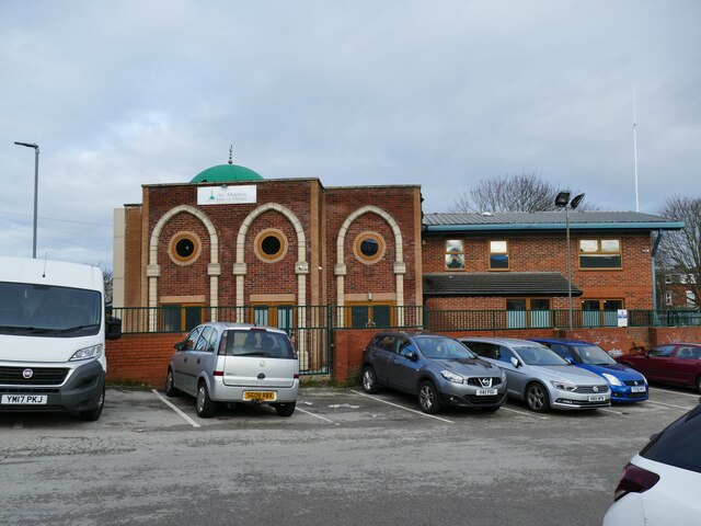
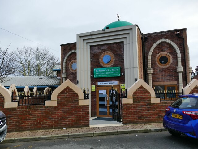
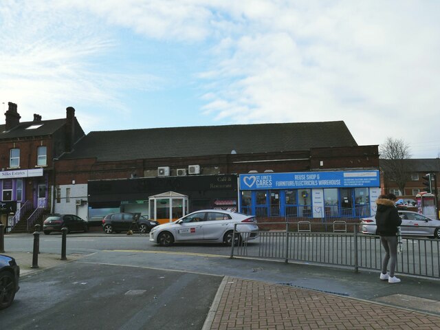
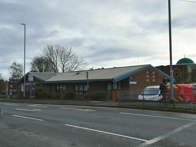
Islington Images
Images are sourced within 2km of 53.781521/-1.5645367 or Grid Reference SE2831. Thanks to Geograph Open Source API. All images are credited.
Islington is located at Grid Ref: SE2831 (Lat: 53.781521, Lng: -1.5645367)
Division: West Riding
Unitary Authority: Leeds
Police Authority: West Yorkshire
What 3 Words
///chew.hopes.much. Near Holbeck, West Yorkshire
Nearby Locations
Related Wikis

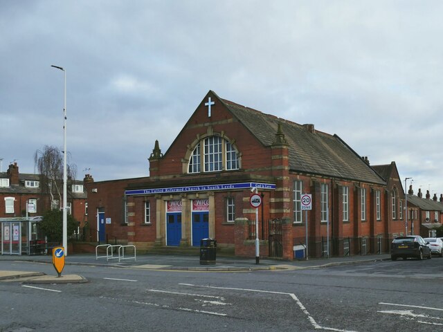
City Evangelical Church, Leeds
City Evangelical Church is an independent evangelical church in Beeston, Leeds, West Yorkshire, England. It is situated on Cemetery Road in the former...

Yorkshire Radio
Yorkshire Radio was a British digital radio station serving Yorkshire on DAB. The station was owned by Leeds United A.F.C. and broadcast live coverage...
Leeds United F.C.
Leeds United Football Club is a professional football club based in Leeds, West Yorkshire in England. The club play their home matches at Elland Road and...

Elland Road
Elland Road is a football stadium in Beeston, Leeds, West Yorkshire, England, which has been the home of Championship club Leeds United since the club...
Recreation Ground (Holbeck)
The Recreation Ground, Holbeck held eight first class cricket matches [1]. Yorkshire CCC played 3 county championship games at the site, including a Roses...
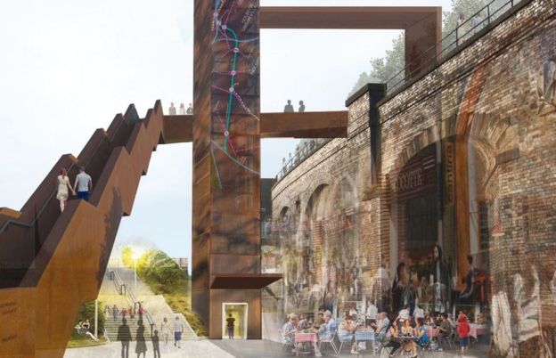
Holbeck Viaduct Project
The Holbeck Viaduct Project is a community project that proposes bringing the Holbeck Viaduct in Leeds, England back into public use. The project is supported...

Holbeck Working Men's Club
The Holbeck (formerly the Holbeck Working Men's Club or Holbeck WMC) in Leeds is one of the United Kingdom's oldest working men's clubs, and is thought...

Greenhouse (Leeds)
Greenhouse is an eight-storey, mixed-use block of eco-flats in Beeston, Leeds. The building took its present form in 2010, after renovation of a 1938 development...
Nearby Amenities
Located within 500m of 53.781521,-1.5645367Have you been to Islington?
Leave your review of Islington below (or comments, questions and feedback).