Hyde

Settlement in Wiltshire

England

Hyde

Arkell's Brewery, House and Pub Nearest the camera is the old Kingsdown Inn where in the mid 19th century "Honest John" Arkell started brewing and selling beer. 
A new brewery was built behind the original house in 1861, the old inn became company offices and a new Kingsdown Inn, the blue building, was built across the road.
Arkells is still brewing and is Swindon's oldest business. A blue plaque on the wall commemorates "Honest John" Arkell.   
Information thanks to "Beer Today"  <span class="nowrap"><a title="https://beertoday.co.uk/2023/04/26/arkell-plaque-0423/" rel="nofollow ugc noopener" href="https://beertoday.co.uk/2023/04/26/arkell-plaque-0423/">Link</a><img style="margin-left:2px;" alt="External link" title="External link - shift click to open in new window" src="https://s1.geograph.org.uk/img/external.png" width="10" height="10"/></span>
Arkell's Brewery, House and Pub Credit: Des Blenkinsopp

Hyde is a small village located in the county of Wiltshire, England. Situated approximately 3 miles southeast of the town of Chippenham, Hyde is nestled amidst the picturesque countryside of the Cotswolds. The village is part of the civil parish of Sutton Benger and lies within the North Wiltshire district.

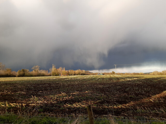
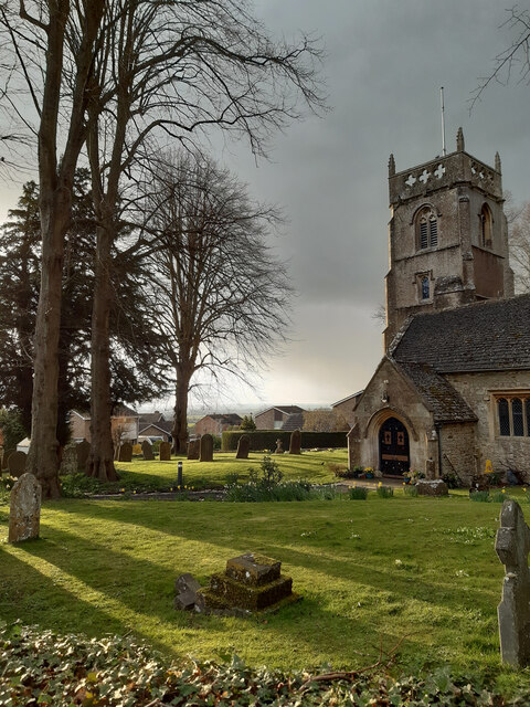
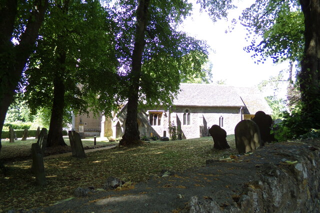
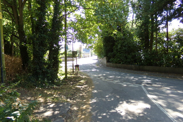
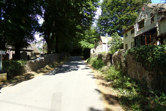
Hyde boasts a rich history dating back to the medieval period and is mentioned in the Domesday Book of 1086. The village is characterized by its charming rural setting, with rolling hills, extensive farmlands, and quaint cottages dotting the landscape. The local architecture predominantly consists of traditional stone houses, lending the area a timeless appeal.

While Hyde is primarily a residential village, it is conveniently located near several amenities. The nearby town of Chippenham offers a range of shops, supermarkets, restaurants, and services, ensuring that residents have easy access to their daily needs. Additionally, the village benefits from excellent transportation links, including a railway station in Chippenham that connects to major cities such as London, Bristol, and Bath.

Hyde is surrounded by natural beauty, with numerous walking and cycling routes in the vicinity, providing residents with ample opportunities to explore the stunning countryside. Moreover, the village is within close proximity to notable landmarks such as the Cotswold Water Park, Lacock Abbey, and Avebury Stone Circle, making it an ideal base for those seeking to discover the cultural and historical attractions of the region.

In summary, Hyde is a picturesque village in Wiltshire, offering a peaceful and idyllic setting, while also providing easy access to essential amenities and nearby attractions.

If you have any feedback on the listing, please let us know in the comments section below.
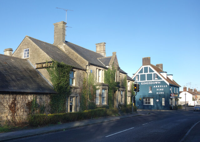
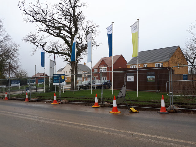
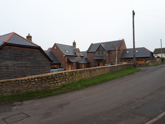
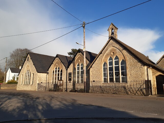
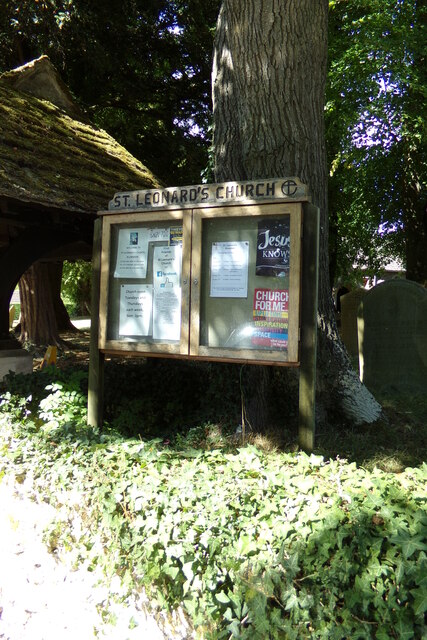
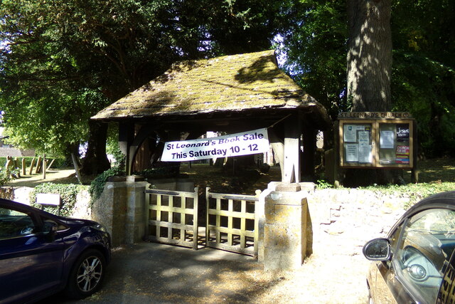
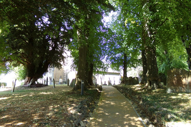
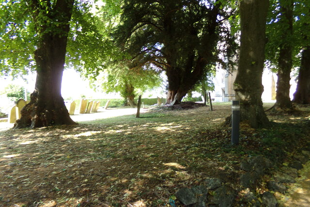
Hyde Images

Images are sourced within 2km of 51.605089/-1.7817149 or Grid Reference SU1589. Thanks to Geograph Open Source API. All images are credited.

Arkell's Brewery, House and Pub Nearest the camera is the old Kingsdown Inn where in the mid 19th century "Honest John" Arkell started brewing and selling beer. 
A new brewery was built behind the original house in 1861, the old inn became company offices and a new Kingsdown Inn, the blue building, was built across the road.
Arkells is still brewing and is Swindon's oldest business. A blue plaque on the wall commemorates "Honest John" Arkell.   
Information thanks to "Beer Today"  <span class="nowrap"><a title="https://beertoday.co.uk/2023/04/26/arkell-plaque-0423/" rel="nofollow ugc noopener" href="https://beertoday.co.uk/2023/04/26/arkell-plaque-0423/">Link</a><img style="margin-left:2px;" alt="External link" title="External link - shift click to open in new window" src="https://s1.geograph.org.uk/img/external.png" width="10" height="10"/></span>
Arkell's Brewery, House and Pub
Nearest the camera is the old Kingsdown Inn where in the mid 19th century "Honest John" Arkell started brewing and selling beer. A new brewery was built behind the original house in 1861, the old inn became company offices and a new Kingsdown Inn, the blue building, was built across the road. Arkells is still brewing and is Swindon's oldest business. A blue plaque on the wall commemorates "Honest John" Arkell. Information thanks to "Beer Today" LinkExternal link
Hayfield Wood Hayfield Wood housing estate in the process of construction.
Hayfield Wood
Hayfield Wood housing estate in the process of construction.
King's Barn, Churchway
Blunsdon Village Hall Former school in the village.
Blunsdon Village Hall
Former school in the village.
Rain clouds gathering
Evening sun and rain clouds over St. Leonard's churchyard
St. Leonard's Church, Blunsdon Off Churchway at the junction with Burytown Lane
St. Leonard's Church, Blunsdon
Off Churchway at the junction with Burytown Lane
St. Leonard's Church Path Off Churchway at the junction with Burytown Lane
St. Leonard's Church Path
Off Churchway at the junction with Burytown Lane
High Street, Blunsdon At the junction with Churchway, Burytown Lane & Sams Lane near St. Leonard's Church
High Street, Blunsdon
At the junction with Churchway, Burytown Lane & Sams Lane near St. Leonard's Church
Burytown Lane, Blunsdon At the junction with Churchway & High Street near St. Leonard's Church & Church Cottage
Burytown Lane, Blunsdon
At the junction with Churchway & High Street near St. Leonard's Church & Church Cottage
Roadsign on Burygate Lane At the junction with Churchway near St. Leonard's Church & Church Cottage
Roadsign on Burygate Lane
At the junction with Churchway near St. Leonard's Church & Church Cottage
Burytown Lane sign On Burygate Lane at the junction with Churchway & High Street near St. Leonard's Church & Church Cottage
Burytown Lane sign
On Burygate Lane at the junction with Churchway & High Street near St. Leonard's Church & Church Cottage
St. Leonard's Church Notice Board On Burygate Lane at the junction with Churchway & High Street near St. Leonard's Church & Church Cottage
St. Leonard's Church Notice Board
On Burygate Lane at the junction with Churchway & High Street near St. Leonard's Church & Church Cottage
Lych Gate of St. Leonard's Church On Burygate Lane at the junction with Churchway & High Street near St. Leonard's Church & Church Cottage
Lych Gate of St. Leonard's Church
On Burygate Lane at the junction with Churchway & High Street near St. Leonard's Church & Church Cottage
St. Leonard's Church, Blunsdon Off Churchway at the junction with Burytown Lane
St. Leonard's Church, Blunsdon
Off Churchway at the junction with Burytown Lane
Churchyard at St. Leonard's Church Off Churchway at the junction with Burytown Lane
Churchyard at St. Leonard's Church
Off Churchway at the junction with Burytown Lane
Churchway sign On Churchway at the junction with Burytown Lane near St. Leonard' Church
Churchway sign
On Churchway at the junction with Burytown Lane near St. Leonard' Church
Churchway, Blunsdon Looking towards Manor Close at the junction with Burytown Lane near St. Leonard's Church.
Churchway, Blunsdon
Looking towards Manor Close at the junction with Burytown Lane near St. Leonard's Church.
Show me another place!

Hyde is located at Grid Ref: SU1589 (Lat: 51.605089, Lng: -1.7817149)

Unitary Authority: Swindon

Police Authority: Wiltshire

What 3 Words

///forklift.wakes.backfired. Near Broad Blunsdon, Wiltshire

Nearby Locations

Hyde

Related Wikis

Swindon Stadium

Swindon Stadium, also known as the Abbey Stadium, is a Greyhound Board of Great Britain regulated greyhound racing track and former speedway track in Blunsdon...
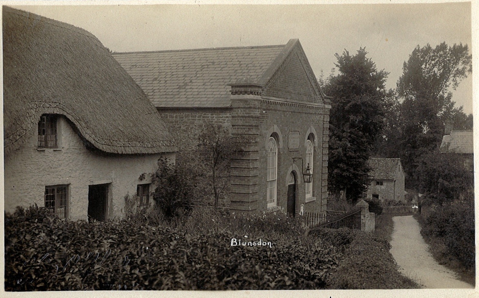
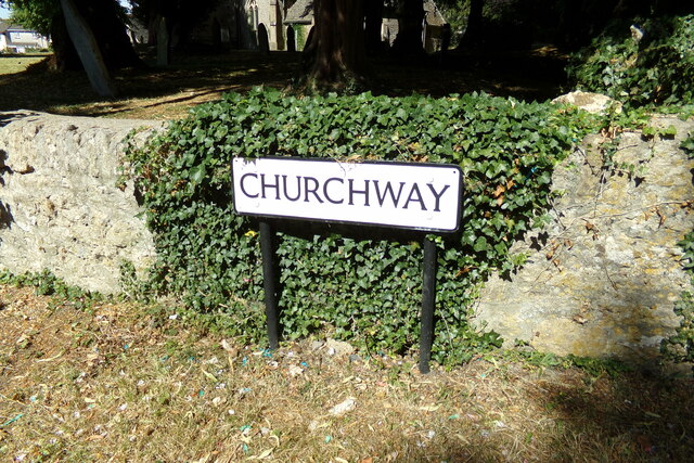
Blunsdon

Blunsdon is a civil parish in the Borough of Swindon, in Wiltshire, England, about 4 miles (6 km) north of the centre of Swindon, with the A419 forming...

Priory Vale

Priory Vale is a community in the north of the town of Swindon, Wiltshire, England, which comprises the urban villages of Redhouse, Oakhurst and Haydon...

Kingsdown School

Kingsdown School is a mixed secondary school with academy status in Swindon, Wiltshire, England. In its February 2020 Ofsted report, it was rated 'Good...

Nearby Amenities

Located within 500m of 51.605089,-1.7817149
Traffic Signals
Lat/Long: 51.6012681/-1.7813186
Traffic Signals
Bicycle: yes
Lat/Long: 51.6012443/-1.781804
Crossing
Bicycle: yes
Crossing: traffic_signals
Lat/Long: 51.6011528/-1.7841252
Traffic Signals
Bicycle: yes
Lat/Long: 51.6014019/-1.7817698
Crossing
Crossing: traffic_signals
Lat/Long: 51.6011291/-1.781689
Traffic Signals
Lat/Long: 51.6014784/-1.781236
Traffic Signals
Bicycle: yes
Lat/Long: 51.6010217/-1.781631
Traffic Signals
Traffic Signals Direction: forward
Lat/Long: 51.6035364/-1.781904
Traffic Signals
Bicycle: yes
Traffic Signals Direction: forward
Lat/Long: 51.6011708/-1.7842857
Traffic Signals
Traffic Signals Direction: forward
Lat/Long: 51.6010564/-1.7846003
Traffic Signals
Lat/Long: 51.600982/-1.7809008
Motorola
Junction: yes
Lat/Long: 51.6013072/-1.7814214
Traffic Signals
Traffic Signals Direction: forward
Lat/Long: 51.6036308/-1.7815708
Traffic Signals
Traffic Signals Direction: forward
Lat/Long: 51.6034279/-1.7813963
ALDI
Addr Postcode: SN25 4DL
Addr Street: Latham Road
Brand: ALDI
Brand Wikidata: Q41171672
Brand Wikipedia: en:Aldi
Contact Website: https://stores.aldi.co.uk/swindon/latham-road
Fhrs Id: 432583
Shop: supermarket
Lat/Long: 51.60166/-1.7833094
Barrier: block
Lat/Long: 51.6020987/-1.783307
Mini Roundabout
Direction: clockwise
Lat/Long: 51.6020889/-1.7834101
Traffic Calming: bump
Lat/Long: 51.6028214/-1.7837341
Barrier: lift_gate
Motorcar: yes
Motorcycle: yes
Lat/Long: 51.6044334/-1.7834828
Entrance: main
Lat/Long: 51.6036784/-1.7834019
Traffic Calming: bump
Lat/Long: 51.6017708/-1.7840275
Traffic Calming: bump
Lat/Long: 51.6018067/-1.7841586
Crossing
Bicycle: yes
Crossing: traffic_signals
Lat/Long: 51.6008688/-1.784112
Crossing
Bicycle: yes
Crossing: traffic_signals
Lat/Long: 51.6009461/-1.7841086
Crossing
Crossing: traffic_signals
Lat/Long: 51.6010476/-1.7841833
Waste Basket
Lat/Long: 51.6015026/-1.7844839
Crossing
Crossing: unmarked
Crossing Markings: no
Lat/Long: 51.6032367/-1.7830987
Bicycle Parking
Bicycle Parking: stands
Capacity: 8
Covered: yes
Lat/Long: 51.6011927/-1.7832412
Pub
Robins Farm
Addr City: Swindon
Addr Postcode: SN25 4DL
Addr Street: Latham Road
Fhrs Id: 841688
Source Addr: FHRS Open Data
Lat/Long: 51.6048481/-1.7849368
Power: pole
Lat/Long: 51.6039135/-1.7764136
Power: pole
Lat/Long: 51.6032705/-1.7760488
Traffic Signals
Traffic Signals: signal
Lat/Long: 51.6007599/-1.7806073
Groundwell West
Junction: yes
Lat/Long: 51.6009613/-1.7843617
Traffic Signals
Traffic Signals: signal
Traffic Signals Direction: forward
Lat/Long: 51.6033803/-1.7817109
Traffic Signals
Traffic Signals: signal
Traffic Signals Direction: forward
Lat/Long: 51.6039289/-1.7820738
Traffic Signals
Traffic Signals: signal
Traffic Signals Direction: forward
Lat/Long: 51.6009445/-1.7840564
Traffic Signals
Traffic Signals: signal
Traffic Signals Direction: forward
Lat/Long: 51.600868/-1.7840595
Traffic Signals
Traffic Signals: signal
Traffic Signals Direction: forward
Lat/Long: 51.6011798/-1.7841483
Post Box
Collection Times: Mo-Fr 09:00; Sa 07:00
Operator: Royal Mail
Operator Wikidata: Q638098
Post Box Type: lamp
Ref: SN26 171D
Royal Cypher: EIIR
Lat/Long: 51.6051692/-1.7816968
Crossing
Crossing: unmarked
Crossing Markings: no
Lat/Long: 51.6035862/-1.7829295
Crossing
Crossing: unmarked
Crossing Markings: no
Lat/Long: 51.6043279/-1.7831094
Crossing
Crossing: unmarked
Crossing Markings: no
Lat/Long: 51.6054463/-1.7843382
Crossing
Crossing: unmarked
Crossing Markings: no
Lat/Long: 51.6040744/-1.7829621
Crossing
Crossing: unmarked
Crossing Markings: no
Lat/Long: 51.6018172/-1.7854745
The data included in this document is from www.openstreetmap.org. The data is made available under ODbL.

Have you been to Hyde?

Leave your review of Hyde below (or comments, questions and feedback).