Huyton with Roby
Settlement in Lancashire
England
Huyton with Roby

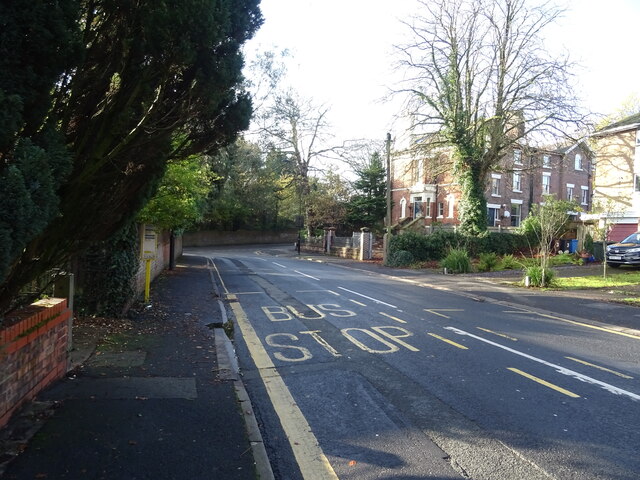
Huyton with Roby is a town located in the metropolitan borough of Knowsley, in the county of Merseyside, England. While it was historically a part of Lancashire, it is now considered a part of Greater Liverpool. The town is situated approximately 6 miles east of Liverpool city centre.
Huyton with Roby has a rich history, with evidence of human settlement in the area dating back to the Stone Age. It grew as a mining and agricultural community in the 18th and 19th centuries, and later experienced significant industrial development during the 20th century.
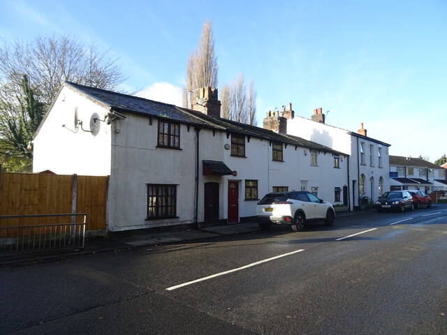
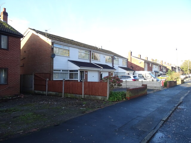
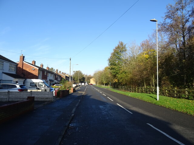
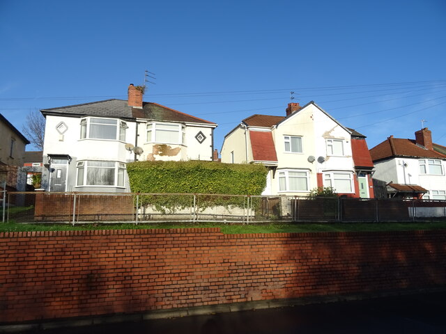
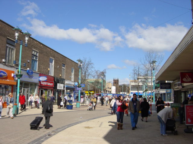
Today, Huyton with Roby is primarily a residential area with a diverse population. It offers a variety of housing options, ranging from modern developments to older terraced houses. The town centre has a range of amenities, including shops, supermarkets, banks, and restaurants.
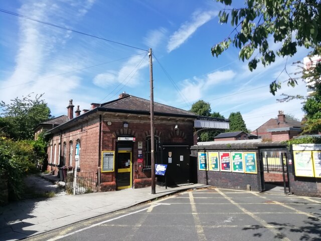
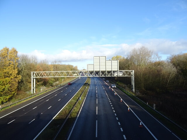
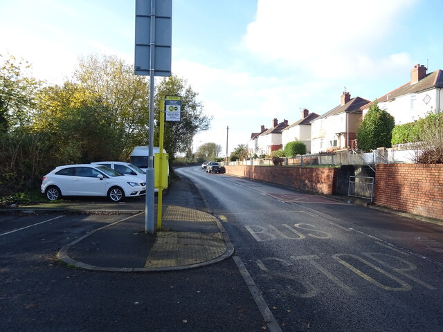
Huyton with Roby benefits from excellent transport links, with Huyton railway station providing frequent train services to Liverpool, Manchester, and other nearby areas. The town is also well-connected by road, with the M62 motorway passing nearby.
The area is home to several parks and green spaces, providing opportunities for outdoor activities and recreational pursuits. Notably, Stadt Moers Park is a popular destination, offering walking trails, sports facilities, and a fishing lake.
Overall, Huyton with Roby is a vibrant and well-connected town with a rich history and a range of amenities for residents and visitors alike.
If you have any feedback on the listing, please let us know in the comments section below.
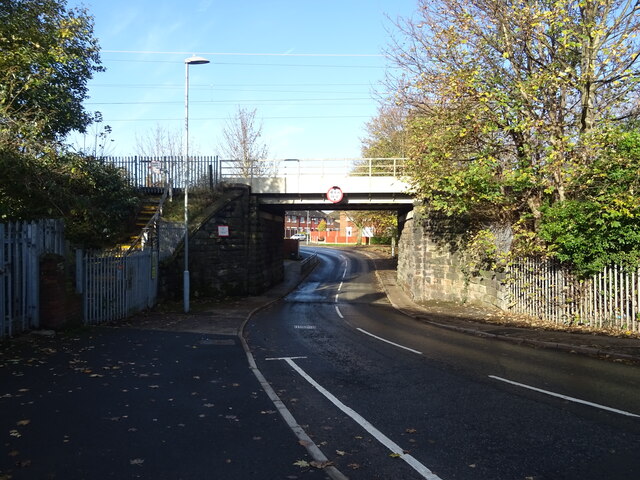
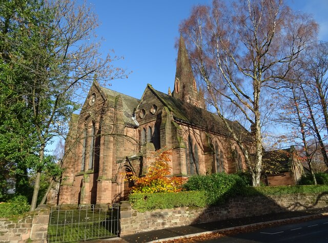
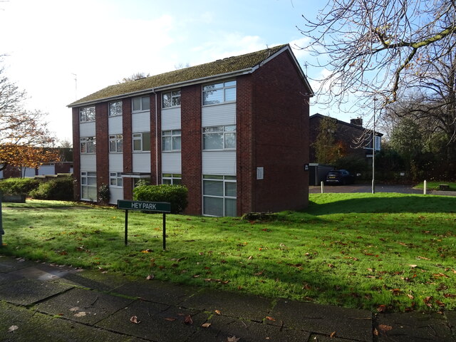
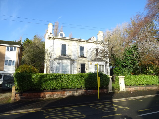
Huyton with Roby Images
Images are sourced within 2km of 53.412477/-2.8405617 or Grid Reference SJ4490. Thanks to Geograph Open Source API. All images are credited.


Huyton with Roby is located at Grid Ref: SJ4490 (Lat: 53.412477, Lng: -2.8405617)
Unitary Authority: Knowsley
Police Authority: Merseyside
What 3 Words
///turns.plot.nest. Near Huyton, Merseyside
Nearby Locations
Related Wikis
Huyton
Huyton ( HY-tən) is a town in the Metropolitan Borough of Knowsley, Merseyside, England. Part of the Liverpool Urban Area, it borders the Liverpool suburbs...

Huyton with Roby Urban District
Huyton with Roby Urban District was a local government district in Lancashire, England from 1894 to 1974. It consisted of the civil parish of Huyton with...
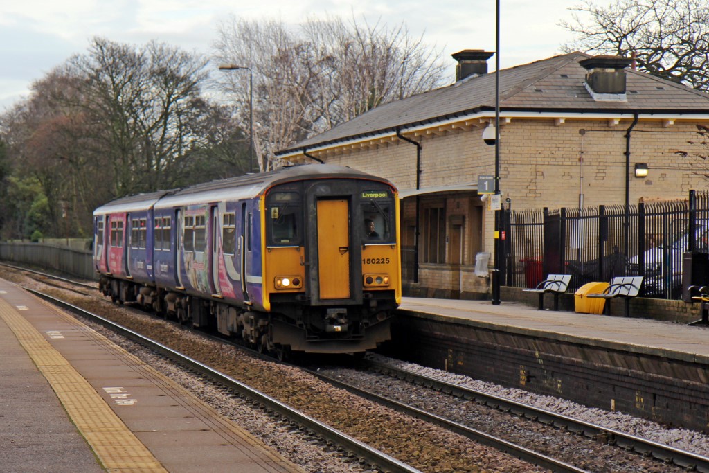
Huyton railway station
Huyton railway station serves Huyton in Merseyside, England. The station is an interchange between the Liverpool-Wigan Line and the northern route of the...
Huyton Hill Preparatory School
Huyton Hill Preparatory School was a school for boys ages 8 to 13 focused on preparation for entering a Public School, open from 1926 to 1969. The school...
Nearby Amenities
Located within 500m of 53.412477,-2.8405617Have you been to Huyton with Roby?
Leave your review of Huyton with Roby below (or comments, questions and feedback).