Husabost

Settlement in Inverness-shire

Scotland

Husabost

Water utility in Glendale Operated by Scottish Water, this installation is beside the B884 road and just below the summit of the pass between Colbost and the village of Glendale, over the shoulder of Beinn Tobhtaig (Ben Totaig).  Water to supply the local communities is normally in sufficient supply from the local hills, but in dry spells it has to be supplemented by road tankers which discharge to an intake at the summit.
Water utility in Glendale Credit: Tiger

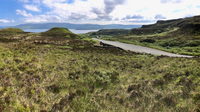
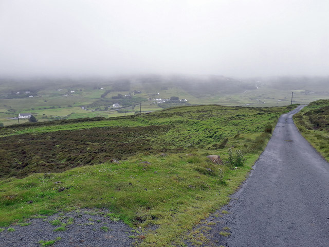
Husabost is a small hamlet located in the Inverness-shire region of Scotland. Situated on the west coast of the Scottish Highlands, it is nestled between the majestic Cuillin Hills and the crystal-clear waters of Loch Bracadale. The hamlet is part of the Isle of Skye, which is renowned for its stunning natural beauty and rugged landscapes.

Husabost is a secluded and tranquil place, offering visitors a true escape from the hustle and bustle of modern life. It is primarily a residential area, with a small number of traditional stone cottages and houses scattered across the landscape. The hamlet is surrounded by picturesque rolling hills and untouched wilderness, making it a haven for outdoor enthusiasts and nature lovers.

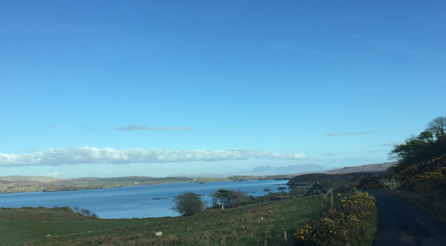
The stunning Loch Bracadale is a prominent feature of Husabost, providing breathtaking views and opportunities for boating, fishing, and water sports. It is also home to a diverse range of wildlife, including seals, otters, and various bird species, making it a popular spot for birdwatching.

Husabost is ideally located for exploring the wider Isle of Skye, with its dramatic mountain ranges, rugged coastline, and historic landmarks such as the Fairy Pools and the Old Man of Storr. The nearby town of Portree offers amenities such as shops, restaurants, and accommodations, making it a convenient base for visitors.

In summary, Husabost is a charming and peaceful hamlet in the heart of the Scottish Highlands, offering breathtaking natural beauty and a chance to experience the true essence of rural Scotland.

If you have any feedback on the listing, please let us know in the comments section below.
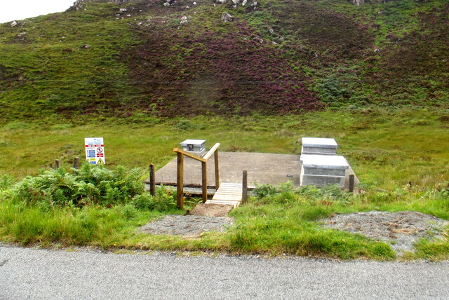
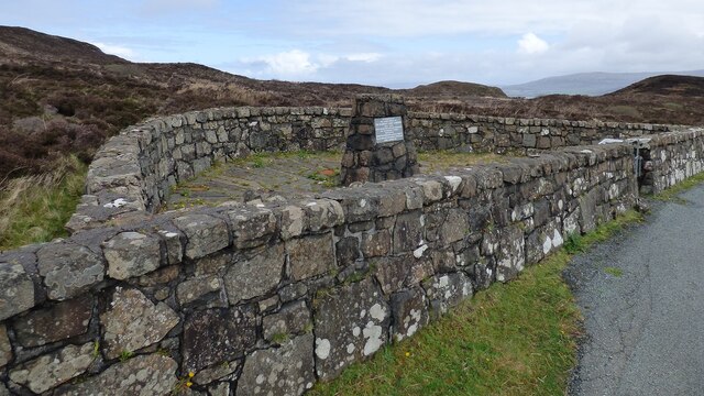
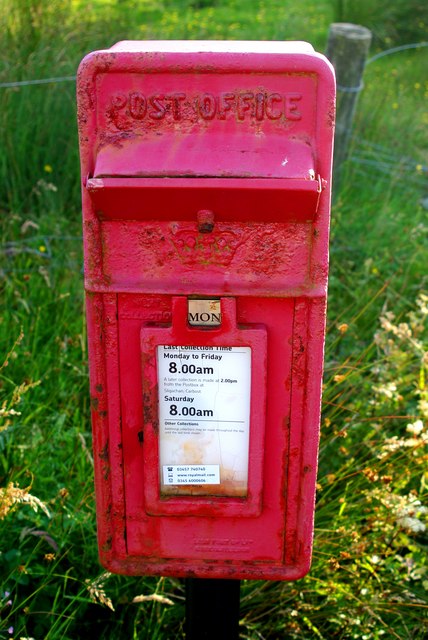
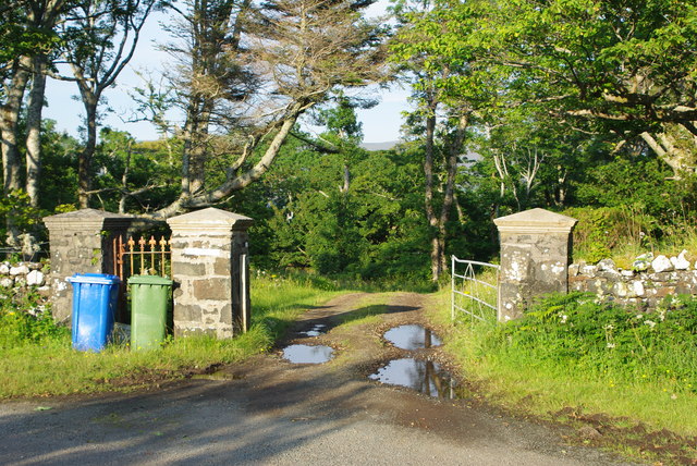
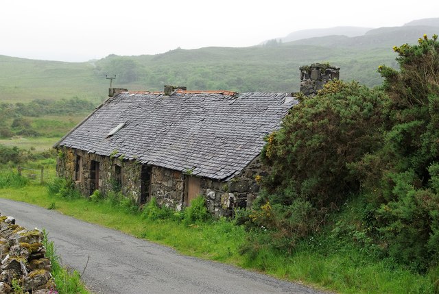
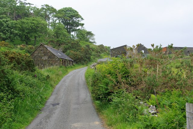
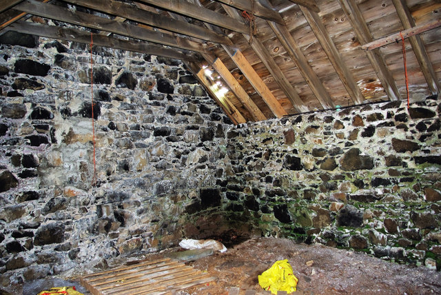
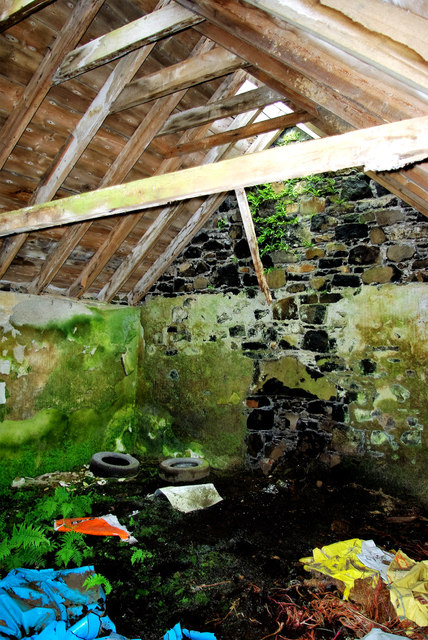
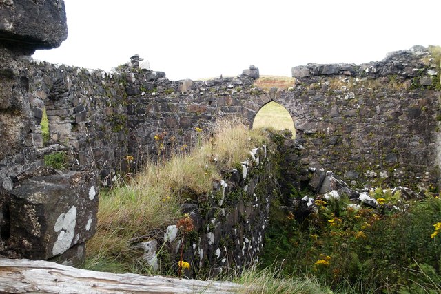
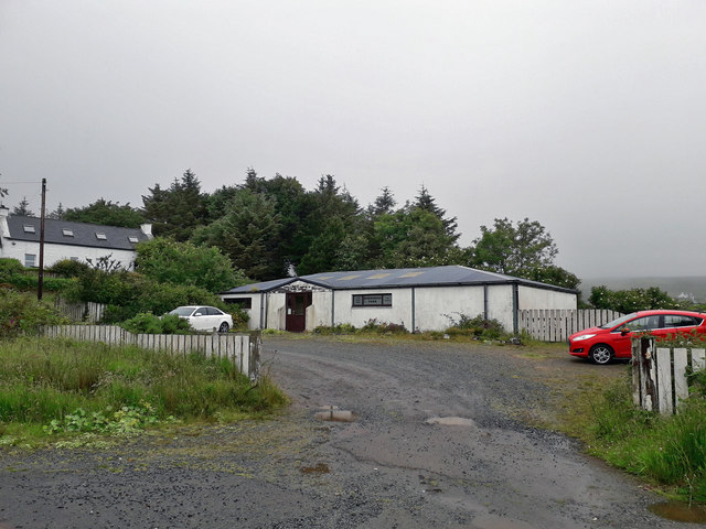
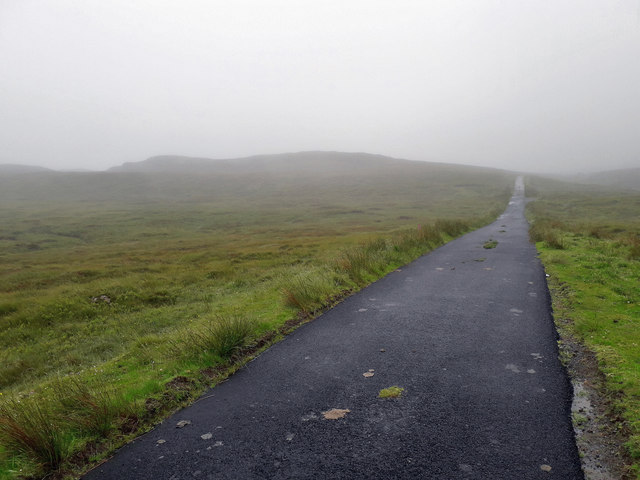
Husabost Images

Images are sourced within 2km of 57.467019/-6.6722743 or Grid Reference NG1951. Thanks to Geograph Open Source API. All images are credited.

Water utility in Glendale Operated by Scottish Water, this installation is beside the B884 road and just below the summit of the pass between Colbost and the village of Glendale, over the shoulder of Beinn Tobhtaig (Ben Totaig).  Water to supply the local communities is normally in sufficient supply from the local hills, but in dry spells it has to be supplemented by road tankers which discharge to an intake at the summit.
Water utility in Glendale
Operated by Scottish Water, this installation is beside the B884 road and just below the summit of the pass between Colbost and the village of Glendale, over the shoulder of Beinn Tobhtaig (Ben Totaig). Water to supply the local communities is normally in sufficient supply from the local hills, but in dry spells it has to be supplemented by road tankers which discharge to an intake at the summit.
Glendale Land League Memorial <span class="nowrap"><a title="https://canmore.org.uk/site/318783/skye-cnoc-an-t-sithean-glendale-land-league-memorial" rel="nofollow ugc noopener" href="https://canmore.org.uk/site/318783/skye-cnoc-an-t-sithean-glendale-land-league-memorial">Link</a><img style="margin-left:2px;" alt="External link" title="External link - shift click to open in new window" src="https://s1.geograph.org.uk/img/external.png" width="10" height="10"/></span>
Glendale Land League Memorial
The pass above Cealabost—Cnoc an t-Sìthean and the Monument to the Glendale Land Leaguers
Postbox IV55 52 The roadside box at Totaig, like many in the district. has a flap to protect letters from the elements.  For its surroundings see <a href="https://www.geograph.org.uk/photo/951870">NG1950 : Postbox and hay stooks</a>.
Postbox IV55 52
The roadside box at Totaig, like many in the district. has a flap to protect letters from the elements. For its surroundings see NG1950 : Postbox and hay stooks.
Entrance to Husabost House A summer view of the beginning of the avenue leading to the enigmatic home of the Martins. "Husabost House" as listed in the local directory is a tautology since the Norse name Husabost means "settlement where there is a house".
Entrance to Husabost House
A summer view of the beginning of the avenue leading to the enigmatic home of the Martins. "Husabost House" as listed in the local directory is a tautology since the Norse name Husabost means "settlement where there is a house".
Husabost cottage The masonry and roof timbers of Richard Dorrell's <a href="https://www.geograph.org.uk/photo/1086135">NG1951 : Derelict cottage at Husabost</a> are still relatively sound but the slipped and missing slates have let in water so that the earth floor at the nearer end, beneath the rising ground of the hillside, is now flooded.  For interior views see <a href="https://www.geograph.org.uk/photo/5000774">NG1951 : Rural dereliction at Husabost</a> and <a href="https://www.geograph.org.uk/photo/5000765">NG1951 : Inside Husabost cottage</a>.
Husabost cottage
The masonry and roof timbers of Richard Dorrell's NG1951 : Derelict cottage at Husabost are still relatively sound but the slipped and missing slates have let in water so that the earth floor at the nearer end, beneath the rising ground of the hillside, is now flooded. For interior views see NG1951 : Rural dereliction at Husabost and NG1951 : Inside Husabost cottage.
Cnoc na Cille Or "Church Hill"; there is a row of derelict cottages on the left and higher up, on the right, the <a href="https://www.geograph.org.uk/photo/1086140">NG1951 : Barns at Husabost</a> and <a href="https://www.geograph.org.uk/photo/1086166">NG1951 : The former church of Cnoc na Cille</a>.
Cnoc na Cille
Or "Church Hill"; there is a row of derelict cottages on the left and higher up, on the right, the NG1951 : Barns at Husabost and NG1951 : The former church of Cnoc na Cille.
Inside Husabost cottage The masonry and roof timbers of the abandoned building remain in reasonable state but the missing slates are letting in some rain.  At the southern end of the building the earth floor is above the level of the surrounding ground and has stays fairly dry but it is a different story at the other end <a href="https://www.geograph.org.uk/photo/5000774">NG1951 : Rural dereliction at Husabost</a>.
Inside Husabost cottage
The masonry and roof timbers of the abandoned building remain in reasonable state but the missing slates are letting in some rain. At the southern end of the building the earth floor is above the level of the surrounding ground and has stays fairly dry but it is a different story at the other end NG1951 : Rural dereliction at Husabost.
Rural dereliction at Husabost The cottage is built into the rising hillside and at the north end the earth floor is below ground and has become a quagmire as the crumbling roof lets in the rain; ferns have sprouted and a variety of refuse has been dumped.  For the exterior see <a href="https://www.geograph.org.uk/photo/5000739">NG1951 : Husabost cottage</a>.
Rural dereliction at Husabost
The cottage is built into the rising hillside and at the north end the earth floor is below ground and has become a quagmire as the crumbling roof lets in the rain; ferns have sprouted and a variety of refuse has been dumped. For the exterior see NG1951 : Husabost cottage.
Inside the ruined chapel at Cnoc na Cille Ragwort and other weeds flourish in the roofless building.  The wall dividing the nave longitudinally must date from the time after the church was abandoned for worship, when it was used as a mill and storehouse.
Inside the ruined chapel at Cnoc na Cille
Ragwort and other weeds flourish in the roofless building. The wall dividing the nave longitudinally must date from the time after the church was abandoned for worship, when it was used as a mill and storehouse.
Former museum, Borreraig The building used to house Borreraig Park Museum and Croft Shop. This is probably not the best location to operate a museum - the location is rather remote with no passing trade.
Former museum, Borreraig
The building used to house Borreraig Park Museum and Croft Shop. This is probably not the best location to operate a museum - the location is rather remote with no passing trade.
Mist over the moor It was a bleak day on the moor - not a day for scenic photography. 
The location here is the eastern flank of Scoval.
Mist over the moor
It was a bleak day on the moor - not a day for scenic photography. The location here is the eastern flank of Scoval.
Descending into Glendale Coming down off the moor, with mist thick over the hills on the far side of the valley.
Descending into Glendale
Coming down off the moor, with mist thick over the hills on the far side of the valley.
Isle of Skye flag / Bratach an Eilein The new island flag flies at the entrance to a croft in Totaig. Unveiled in August 2020, the winning design by 9-year-old Calum Alasdair Munro was chosen by public vote from 369 entries.

A Nordic cross (with the vertical component shifted towards the hoist as in the flags of all the Scandinavian countries) is intertwined with a circle to represent the island's historic blend of Norse and Celtic cultures. The five oars of the birlinn (or galley) in the canton stand for the five wings or peninsulas which make up An t-Eilean Sgiathanach, the "winged isle". The colours recall the yellow of the MacLeods, whose clan lands lie in the west of the island, and the blue of the MacDonalds and Mackinnons in the north, south and east.
Isle of Skye flag / Bratach an Eilein
The new island flag flies at the entrance to a croft in Totaig. Unveiled in August 2020, the winning design by 9-year-old Calum Alasdair Munro was chosen by public vote from 369 entries. A Nordic cross (with the vertical component shifted towards the hoist as in the flags of all the Scandinavian countries) is intertwined with a circle to represent the island's historic blend of Norse and Celtic cultures. The five oars of the birlinn (or galley) in the canton stand for the five wings or peninsulas which make up An t-Eilean Sgiathanach, the "winged isle". The colours recall the yellow of the MacLeods, whose clan lands lie in the west of the island, and the blue of the MacDonalds and Mackinnons in the north, south and east.
View South near Parks
View towards Husabost
Useless road sign at Husabost At the <a href="https://www.geograph.org.uk/photo/4630652">NG1951 : Entrance to Husabost House</a> this home-made notice is now almost completely obscured by gorse. Behind the branches it reads "Slow - farm vehicles".
Useless road sign at Husabost
At the NG1951 : Entrance to Husabost House this home-made notice is now almost completely obscured by gorse. Behind the branches it reads "Slow - farm vehicles".
Quiet please! Notice affixed to a roadside tree near the entrance to the Husabost estate. There is no obvious source of noise nearby beyond the usual activities of the district.
Quiet please!
Notice affixed to a roadside tree near the entrance to the Husabost estate. There is no obvious source of noise nearby beyond the usual activities of the district.
Show me another place!

Husabost is located at Grid Ref: NG1951 (Lat: 57.467019, Lng: -6.6722743)

Unitary Authority: Highland

Police Authority: Highlands and Islands

What 3 Words

///regret.between.elect. Near Glendale, Highland

Nearby Locations

Husabost Cnoc na Cille

Related Wikis

Totaig

Totaig (from Old Norse Topt-vík) is a small crofting settlement on the west coast of Loch Dunvegan on the Isle of Skye. The village of Dunvegan is 5 miles...

Uig, Duirinish

Uig is a hamlet 14 miles (23 km) south west of Uig in Snizort, on the eastern shore of Loch Dunvegan, in the civil parish of Duirinish, on the Isle of...

Fasach

Fasach (Scottish Gaelic: Fàsach) is a crofting settlement in Glendale on the Duirinish peninsula of the Isle of Skye, Scottish Highlands and is in the...

Borreraig

Borreraig (Scottish Gaelic: Boraraig) is a crofting settlement in Duirinish, north-west of Dunvegan on the Isle of Skye. The ancient and famous MacCrimmon...

Nearby Amenities

Located within 500m of 57.467019,-6.6722743
Hùsabost
Place: hamlet
Lat/Long: 57.4670738/-6.6721152
The data included in this document is from www.openstreetmap.org. The data is made available under ODbL.

Have you been to Husabost?

Leave your review of Husabost below (or comments, questions and feedback).