Horsemoor
Settlement in Berkshire
England
Horsemoor

Horsemoor is a small village located in Berkshire, England. Situated in the southern part of the county, it lies approximately 9 miles southwest of Reading and 37 miles west of London. The village is nestled amidst the picturesque countryside, surrounded by lush green fields and rolling hills.
Despite its small size, Horsemoor has a rich history dating back several centuries. The area was originally part of the ancient county of Berkshire and has witnessed various historical events over time. Today, Horsemoor retains its quaint charm and rural character, making it a peaceful and idyllic place to reside.
The village boasts a tight-knit community, with a population of around 500 residents. Its residents enjoy a strong sense of community spirit and actively participate in local events and activities. Horsemoor features a small village hall, which serves as a hub for community gatherings and events.
The picturesque countryside surrounding Horsemoor offers numerous opportunities for outdoor activities and exploration. The village is surrounded by scenic walking and cycling routes, allowing residents and visitors to immerse themselves in the beauty of the Berkshire countryside. Additionally, the nearby River Thames provides opportunities for boating and fishing enthusiasts.
While Horsemoor itself does not host many commercial establishments, it is conveniently located within close proximity to larger towns and cities. Residents have easy access to amenities and services in nearby Reading, which offers a wide range of shopping, dining, and entertainment options.
Overall, Horsemoor is a charming village that offers a peaceful and rural lifestyle, with easy access to larger towns and the natural beauty of the surrounding countryside.
If you have any feedback on the listing, please let us know in the comments section below.
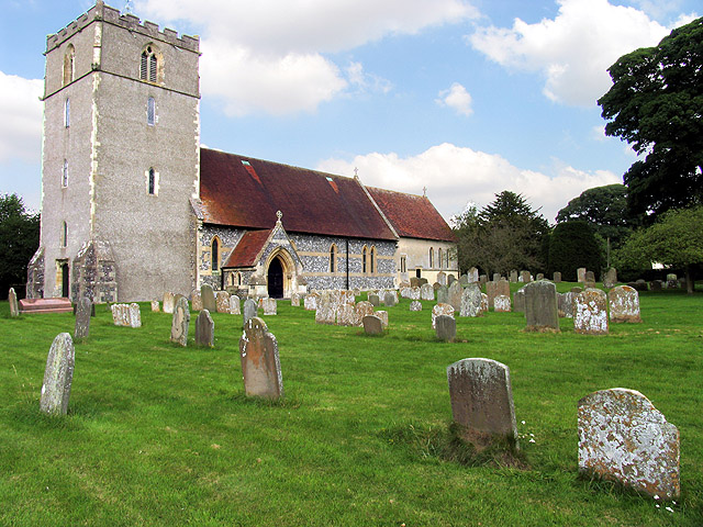
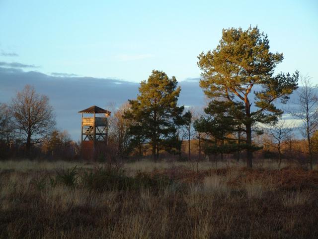
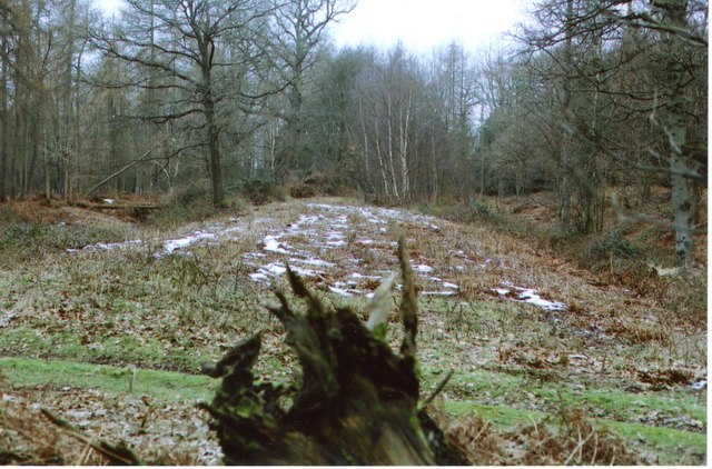
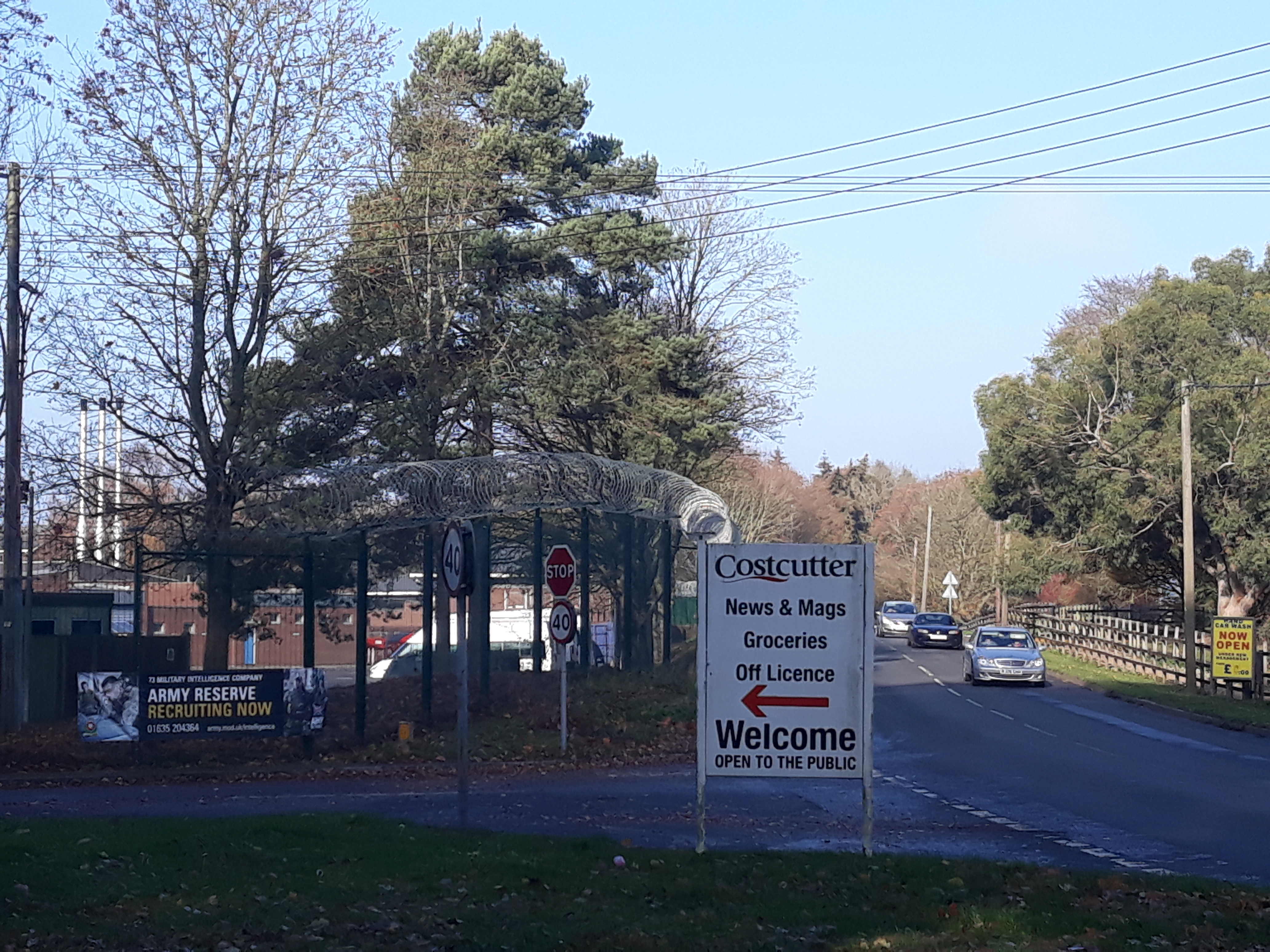
Horsemoor Images
Images are sourced within 2km of 51.461094/-1.3151721 or Grid Reference SU4773. Thanks to Geograph Open Source API. All images are credited.


Horsemoor is located at Grid Ref: SU4773 (Lat: 51.461094, Lng: -1.3151721)
Unitary Authority: West Berkshire
Police Authority: Thames Valley
What 3 Words
///fruity.deriving.router. Near Winterbourne, Berkshire
Nearby Locations
Related Wikis

Chieveley House
Chieveley House, on the High Street in the village of Chieveley, Berkshire is a country house dating from the early 18th century. It is a Grade II* listed...
Chieveley
Chieveley is a village and large civil parish centred 3.5 miles (5.6 km) north of Newbury in Berkshire, close to the M4 motorway and A34 road. Chieveley...

Chieveley services
Chieveley services is a UK motorway service station just off the M4 motorway at Chieveley near Newbury in Berkshire, England. It is owned by Moto. It is...
Snelsmore
Snelsmore is a hamlet in Berkshire, England, and part of the civil parish of Chieveley. The settlement lies near to junction 13 of the M4 motorway, and...
Bussock Camp
Bussock Camp is the site of an Iron Age bivallate hillfort located in Berkshire, England. It has a double bank and ditch to the south and east, with only...
Royal School of Military Survey
Royal School of Military Survey (DCI RSMS) is a joint services survey training facility associated with the Corps of Royal Engineers (RE) but attached...
Denison Barracks
Denison Barracks is a British Army installation at Hermitage in Berkshire, England. == History == The site was used as an American military hospital during...

Curridge
Curridge is a village in the civil parish of Chieveley in the English county of Berkshire. == Geography == Curridge is located in the south-east of the...
Nearby Amenities
Located within 500m of 51.461094,-1.3151721Have you been to Horsemoor?
Leave your review of Horsemoor below (or comments, questions and feedback).