Hoprig

Settlement in Berwickshire

Scotland

Hoprig

Minor road near Ecclaw Hill
Minor road near Ecclaw Hill Credit: Steven Brown

Hoprig is a small rural hamlet located in the county of Berwickshire, Scotland. Situated approximately 2 miles southwest of the town of Dunbar, Hoprig is nestled amidst the picturesque East Lothian countryside.

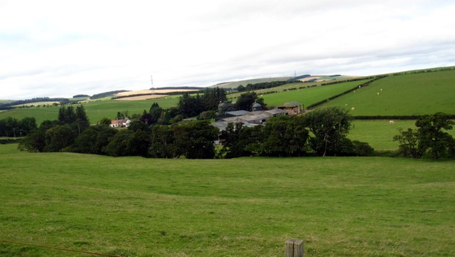
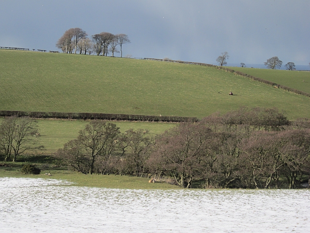
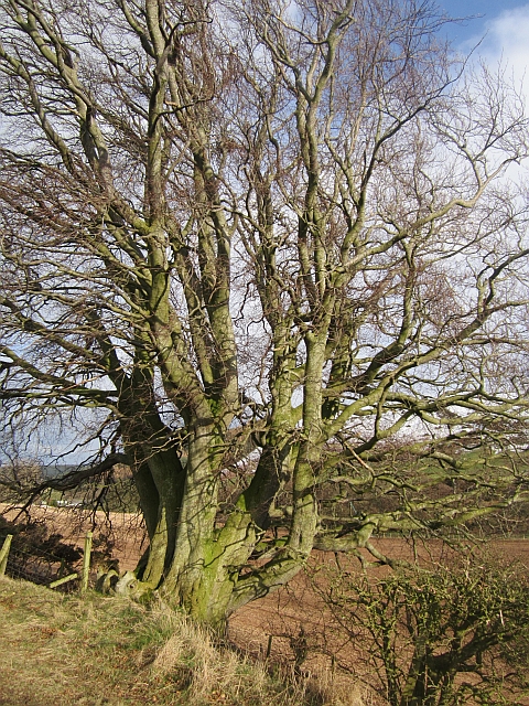
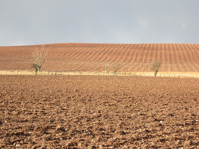
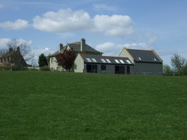
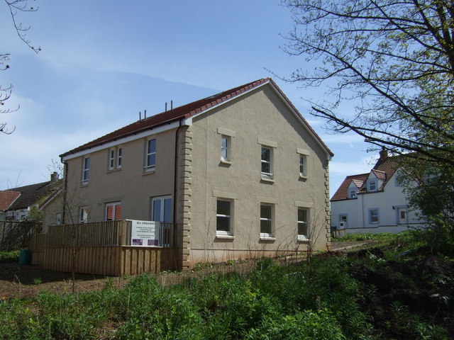
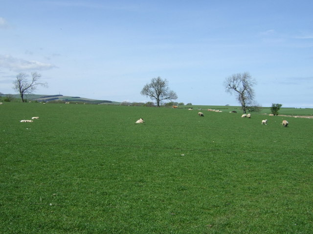
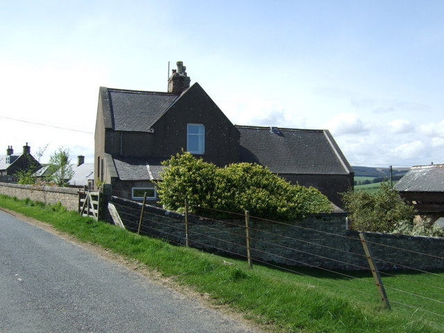
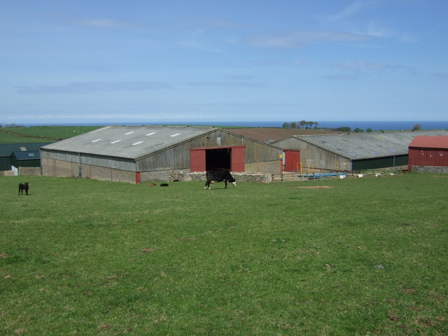
The hamlet is predominantly residential, consisting of a cluster of traditional stone-built cottages and houses. The area is known for its peaceful and idyllic setting, offering residents a tranquil and close-knit community atmosphere. Surrounded by undulating farmland, Hoprig provides stunning views of the surrounding countryside, with expansive fields and rolling hills stretching as far as the eye can see.

Despite its rural character, the hamlet benefits from its close proximity to nearby amenities. The town of Dunbar, with its range of shops, cafes, and restaurants, is easily accessible, offering residents the convenience of urban facilities whilst still enjoying a rural lifestyle.

Hoprig is also well-connected to the wider region, with excellent transport links. The A1 road runs nearby, providing easy access to Edinburgh, which is approximately 25 miles away. The nearby Dunbar railway station offers regular train services to Edinburgh and other major cities in Scotland.

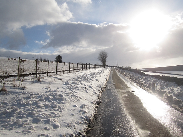
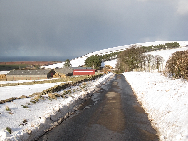
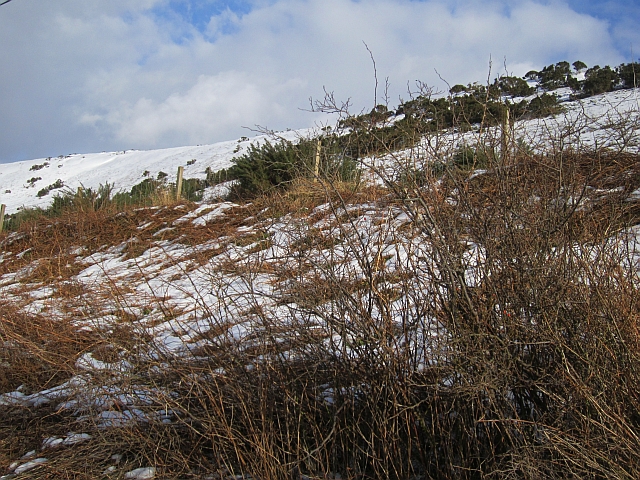
The area surrounding Hoprig is rich in natural beauty, with several walking trails and nature reserves in close proximity. The stunning coastline is within easy reach, offering residents the opportunity to enjoy coastal walks and explore the sandy beaches along the North Sea.

Overall, Hoprig is a charming and peaceful hamlet, offering residents a perfect blend of rural tranquility and easy access to nearby amenities and natural attractions.

If you have any feedback on the listing, please let us know in the comments section below.
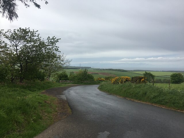
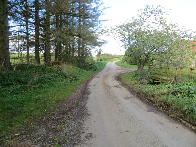
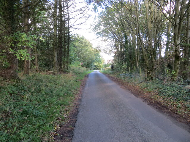
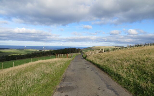
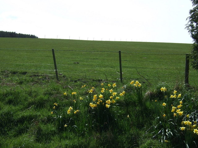
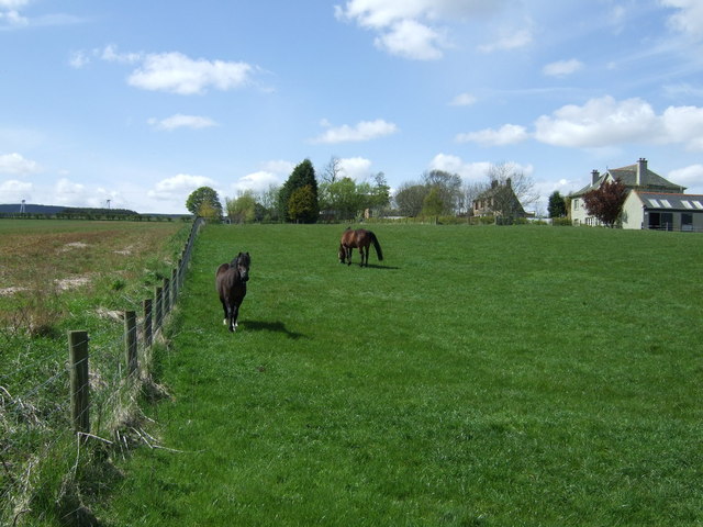
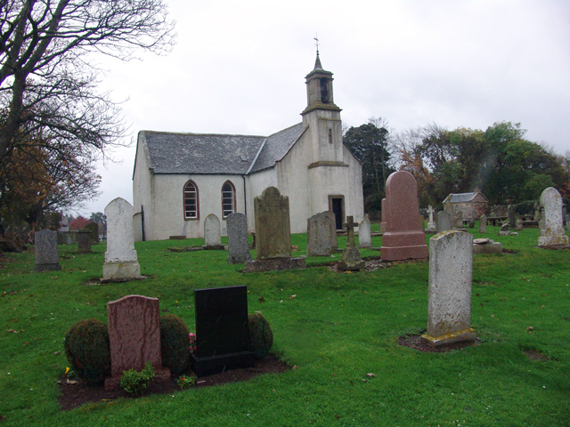
Hoprig Images

Images are sourced within 2km of 55.919086/-2.3980409 or Grid Reference NT7569. Thanks to Geograph Open Source API. All images are credited.

Minor road near Ecclaw Hill
Minor road at Fulfordlees Looking north-westward. My presumption is that the footbridge is for if and when Heriot Water floods.
Minor road at Fulfordlees
Looking north-westward. My presumption is that the footbridge is for if and when Heriot Water floods.
Woodlined minor road near Hoprigshiels Cottages Looking north-westward,
Woodlined minor road near Hoprigshiels Cottages
Looking north-westward,
Minor road with cattle grid on the flank of Ecclaw Hill Looking north-eastward.
Minor road with cattle grid on the flank of Ecclaw Hill
Looking north-eastward.
View over the pastures to Fulfordlees Farm Off the Cockburnspath to Abbey St. Bathans road.
View over the pastures to Fulfordlees Farm
Off the Cockburnspath to Abbey St. Bathans road.
Road, Ecclaw Forgive the flaring, but I had not seen the sun for a while.
Road, Ecclaw
Forgive the flaring, but I had not seen the sun for a while.
Ecclaw The depth of snow is decreasing with loss of altitude.
Ecclaw
The depth of snow is decreasing with loss of altitude.
Snow on Ewieside Hill Near the altitude where the snow has melted. Big drifts on top.
Snow on Ewieside Hill
Near the altitude where the snow has melted. Big drifts on top.
Ewe and lamb, Heriot Water The snow finally gives way to greenery at the foot of the Lammermuir Hills. Good news for the sheep.
Ewe and lamb, Heriot Water
The snow finally gives way to greenery at the foot of the Lammermuir Hills. Good news for the sheep.
Stockbridge beech A gnarly old hedgerow tree.
Stockbridge beech
A gnarly old hedgerow tree.
Ploughed field, Stockbridge Red colour courtesy of the Old Red Sandstone.
Ploughed field, Stockbridge
Red colour courtesy of the Old Red Sandstone.
House near Oldhamstocks
New build house, Hoprig
Grazing near Stockbridge
House near Ecclaw
House near Ecclaw
Farm buildings, Ecclaw
Grazing near Ecclaw
Grazing near Ecclaw
Grazing near Hoprig
Grazing near Hoprig
Show me another place!

Hoprig is located at Grid Ref: NT7569 (Lat: 55.919086, Lng: -2.3980409)

Unitary Authority: The Scottish Borders

Police Authority: The Lothians and Scottish Borders

What 3 Words

///paramedic.private.mammoth. Near Dunbar, East Lothian

Related Wikis

Oldhamstocks

Oldhamstocks or Aldhamstocks ("old dwelling place") is a civil parish and small village in the east of East Lothian, Scotland, adjacent to the Scottish...

Dunglass Castle, East Lothian

Dunglass Castle was a castle at Dunglass in East Lothian, Scotland. It was a seat of the Home family and frequently visited by the Stewart kings. A fortification...

Dunglass Collegiate Church

Dunglass Collegiate Church is situated in south-east East Lothian just off the old A1 highway, one mile north of Cockburnspath in Berwickshire, Scotland...

Berwickshire Coastal Path

The Berwickshire Coastal Path is a walking route some 48 kilometres (30 mi) long. It follows the eastern coastline of Scotland from Cockburnspath in the...

Nearby Amenities

Located within 500m of 55.919086,-2.3980409
Created By: Potlatch 0.10f
Ele NPE: 440 ft
Source: NPE
Lat/Long: 55.9214339/-2.398493
Created By: Potlatch 0.10f
Ele NPE: 542 ft
Source: NPE
Lat/Long: 55.9173458/-2.3926136
Design: barrel
Power: tower
Lat/Long: 55.9219216/-2.4003576
Whinhouse
Place: hamlet
Lat/Long: 55.9190164/-2.3978471
Noexit: yes
Lat/Long: 55.9186899/-2.3980859
Noexit: yes
Lat/Long: 55.9188993/-2.3984955
Noexit: yes
Lat/Long: 55.9198091/-2.396803
Noexit: yes
Lat/Long: 55.9203224/-2.3968792
Design: barrel
Power: tower
Lat/Long: 55.9151199/-2.4001945
Design: barrel
Power: tower
Lat/Long: 55.9183822/-2.4002738
Generator Method: photovoltaic
Generator Source: solar
Generator Type: solar_photovoltaic_panel
Power: generator
Lat/Long: 55.9201748/-2.3969051
Power: pole
Lat/Long: 55.9208958/-2.3962151
Power: pole
Lat/Long: 55.9206428/-2.3969375
Power: pole
Lat/Long: 55.9202152/-2.3979199
Power: pole
Lat/Long: 55.9197815/-2.3988852
Power: pole
Lat/Long: 55.9197225/-2.3992485
Power: pole
Lat/Long: 55.9190418/-2.3992807
Power: pole
Lat/Long: 55.9186696/-2.3987605
Power: pole
Lat/Long: 55.9180323/-2.3979479
Power: pole
Lat/Long: 55.9173866/-2.3971524
Power: pole
Lat/Long: 55.916742/-2.3963334
Power: pole
Lat/Long: 55.9160987/-2.3955315
Power: pole
Lat/Long: 55.9154481/-2.3947382
Power: pole
Lat/Long: 55.9180709/-2.3996892
Power: pole
Lat/Long: 55.9174179/-2.4006867
Power: pole
Lat/Long: 55.9168276/-2.4016004
Power: pole
Lat/Long: 55.916224/-2.4025312
Power: pole
Lat/Long: 55.9212776/-2.4040339
Power: pole
Lat/Long: 55.9208657/-2.4032278
Power: pole
Lat/Long: 55.9204645/-2.4024001
Power: pole
Lat/Long: 55.9199513/-2.4013639
Power: pole
Lat/Long: 55.91889/-2.401452
Power: pole
Lat/Long: 55.9178576/-2.401538
The data included in this document is from www.openstreetmap.org. The data is made available under ODbL.

Have you been to Hoprig?

Leave your review of Hoprig below (or comments, questions and feedback).