Hoppers Corner

Settlement in Kent Maidstone

England

Hoppers Corner

Oast House
Oast House Credit: Oast House Archive

Hoppers Corner is a small village located in the county of Kent, England. It is situated in the southeastern part of the county, near the town of Dover. The village is known for its picturesque countryside views, with rolling hills and lush green fields surrounding the area.

Hoppers Corner has a population of around 500 residents, making it a close-knit and friendly community. The village has a few amenities, including a local pub, a small convenience store, and a village hall where community events are often held.

The village is well-connected to other nearby towns and cities, with regular bus services running through the area. The nearest train station is located in Dover, providing easy access to London and other major cities.

Hoppers Corner is a popular destination for hikers and nature enthusiasts, with many walking trails and scenic routes to explore in the surrounding countryside. The village also has a rich history, with several historic buildings and landmarks dating back to the medieval period.

Overall, Hoppers Corner is a charming and tranquil village, offering a peaceful retreat for those looking to escape the hustle and bustle of city life.

If you have any feedback on the listing, please let us know in the comments section below.

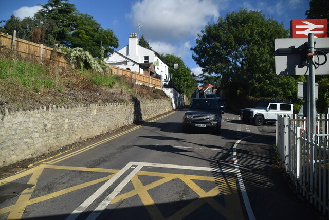
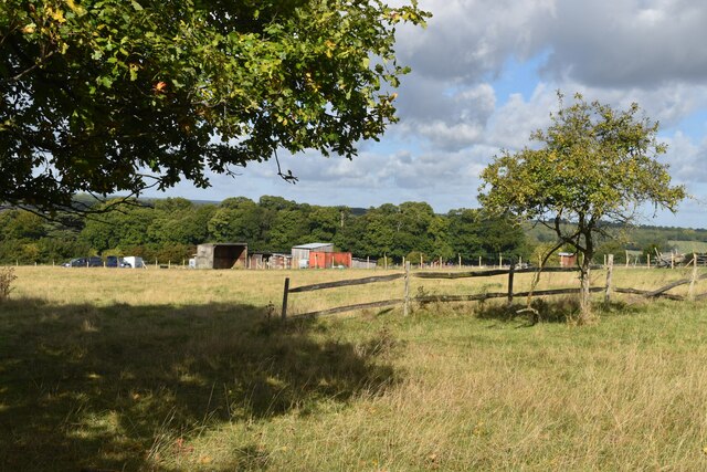
Hoppers Corner Images

Images are sourced within 2km of 51.254326/0.46269437 or Grid Reference TQ7153. Thanks to Geograph Open Source API. All images are credited.

Farleigh Lane
Farleigh Lane
Fields beside the River Medway
Fields above the Medway near Tutsham Hall
Footpath between fences at Tutsham hall
Footpath on track through Tutsham Hall Many of the former farm buildings have been converted into separate residences.
Footpath on track through Tutsham Hall
Many of the former farm buildings have been converted into separate residences.
View along fence towards Tutsham Cottages
Fields beside Ewell Lane
Paddock in valley at West Farleigh
Footpath on track through buildings at Smiths Hill
The green at Farleigh Green
The Good Intent, Farleigh Green Public house overlooking the triangular green.
The Good Intent, Farleigh Green
Public house overlooking the triangular green.
View across the green at Farleigh Green The village sign says West Farleigh, although the area around the green is shown as Farleigh Green on the OS map.
View across the green at Farleigh Green
The village sign says West Farleigh, although the area around the green is shown as Farleigh Green on the OS map.
West Farleigh village sign The village sign says West Farleigh, although the area around the green is shown as Farleigh Green on the OS map. For the sign in context, see <a href="https://www.geograph.org.uk/photo/7302086">TQ7252 : View across the green at Farleigh Green</a>.
West Farleigh village sign
The village sign says West Farleigh, although the area around the green is shown as Farleigh Green on the OS map. For the sign in context, see TQ7252 : View across the green at Farleigh Green.
View across former orchard into Medway Valley This field is marked as orchard on the OS 1:25,000 map.
View across former orchard into Medway Valley
This field is marked as orchard on the OS 1:25,000 map.
Path across field This field is marked as orchard on the OS 1:25,000 map.
Path across field
This field is marked as orchard on the OS 1:25,000 map.
Oasthouses seen from field path near Gallants Lane
Gallants Lane near Gallants Manor
Show me another place!

Hoppers Corner is located at Grid Ref: TQ7153 (Lat: 51.254326, Lng: 0.46269437)

Administrative County: Kent

District: Maidstone

Police Authority: Kent

What 3 Words

///foster.city.affair. Near Wateringbury, Kent

Related Wikis

All Saints Church, West Farleigh

All Saints is a parish church in West Farleigh, Kent. It was begun in the 11th century and is a Grade I listed building. == Building == The church was...

East Barming

East Barming is a village in the civil parish of Barming in the Maidstone District of Kent, England. The village is located on the A26 road out of Maidstone...

Barming Heath

Barming Heath is an area of north-western Maidstone in Kent, England. Its parish church is dedicated to St Andrew. == See also == Barming East Barming...

West Farleigh

West Farleigh is a village and civil parish four miles (6km) southwest of Maidstone in the county of Kent. The parish has a population of approximately...

Nearby Amenities

Located within 500m of 51.254326,0.46269437
Bus Stop
St Helens Lane
Local Ref: adj
Naptan AtcoCode: 2400A004110A
Naptan Bearing: E
Naptan BusStopType: MKD
Naptan CommonName: St Helens Lane
Naptan Indicator: adj
Naptan Landmark: St Helens Lane
Naptan NaptanCode: kntagmtd
Naptan RevisionNumber: 4
Naptan Status: act
Naptan Street: Lower Road
Naptan Verified: yes
Public Transport: platform
Ref: kntagmtd
Source: naptan_import
Source Date: 2018-04-23
Lat/Long: 51.2546565/0.4692762
Post Box
Collection Times: Mo-Fr 09:00; Sa 07:00
Operator: Royal Mail
Post Box Type: lamp
Ref: ME15 67D
Lat/Long: 51.2549137/0.4686254
East Farleigh Parish Council Notices
Board Type: notice
Information: board
Tourism: information
Lat/Long: 51.2547334/0.468999
Kettle Corner
Place: hamlet
Source: npe
Lat/Long: 51.2548545/0.4691833
Power: tower
Lat/Long: 51.2523771/0.4665137
Power: tower
Lat/Long: 51.2547722/0.4654411
Power: tower
Lat/Long: 51.2576888/0.4641409
Post Box
Operator: Royal Mail
Post Box Type: lamp
Ref: ME15 224D
Lat/Long: 51.252566/0.463033
Bus Stop
St Helens Lane
Local Ref: opp
Naptan AtcoCode: 2400102680
Naptan Bearing: W
Naptan BusStopType: CUS
Naptan CommonName: St Helens Lane
Naptan Indicator: opp
Naptan Landmark: St Helens Lane
Naptan NaptanCode: kntjapwm
Naptan RevisionNumber: 1
Naptan Status: act
Naptan Street: Lower Road
Naptan Verified: no
Public Transport: platform
Ref: kntjapwm
Sign: no
Source: naptan_import
Source Date: 2014-01-24
Lat/Long: 51.2545819/0.4689712
The data included in this document is from www.openstreetmap.org. The data is made available under ODbL.

Have you been to Hoppers Corner?

Leave your review of Hoppers Corner below (or comments, questions and feedback).