Holworth

Settlement in Dorset

England

Holworth

Signpost on South-west Coast Path
Signpost on South-west Coast Path Credit: Becky Williamson

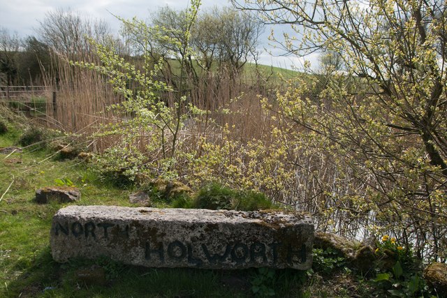
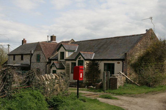
Holworth is a small, picturesque village located in the county of Dorset, England. Situated on the Jurassic Coast, it offers breathtaking views of the English Channel and the surrounding countryside. With a population of just over 100 residents, Holworth is a close-knit community that prides itself on its tranquility and natural beauty.

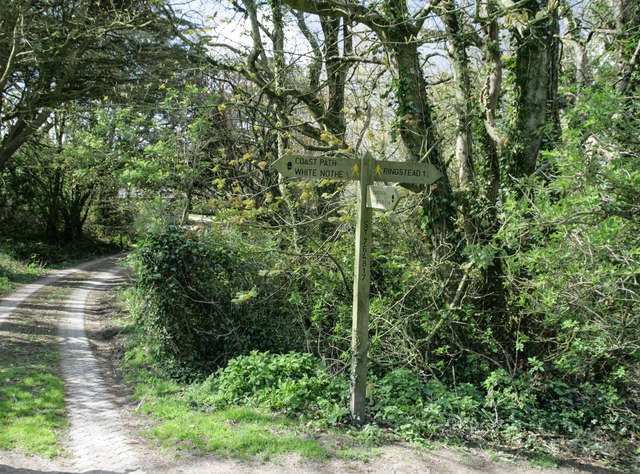
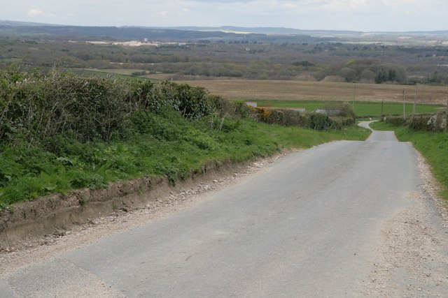
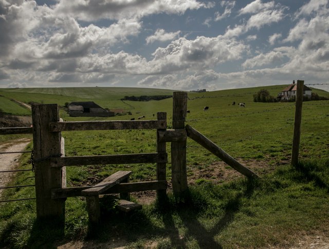
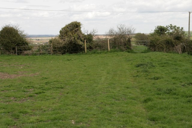
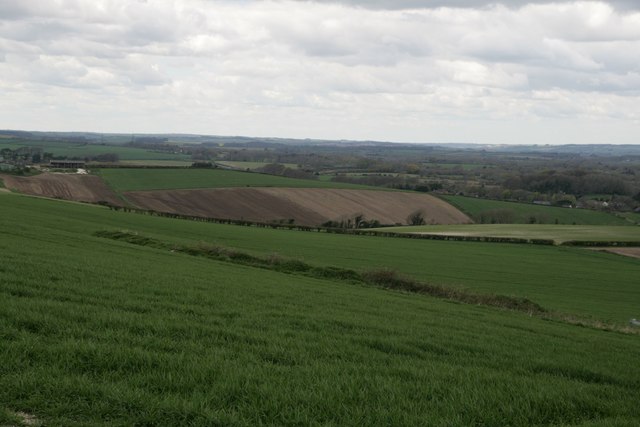
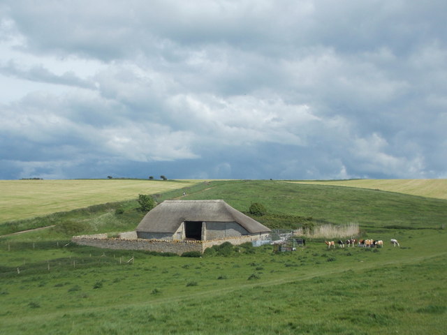
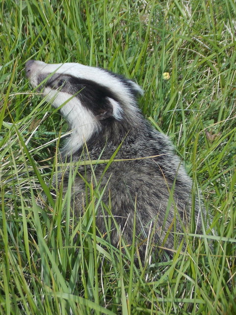
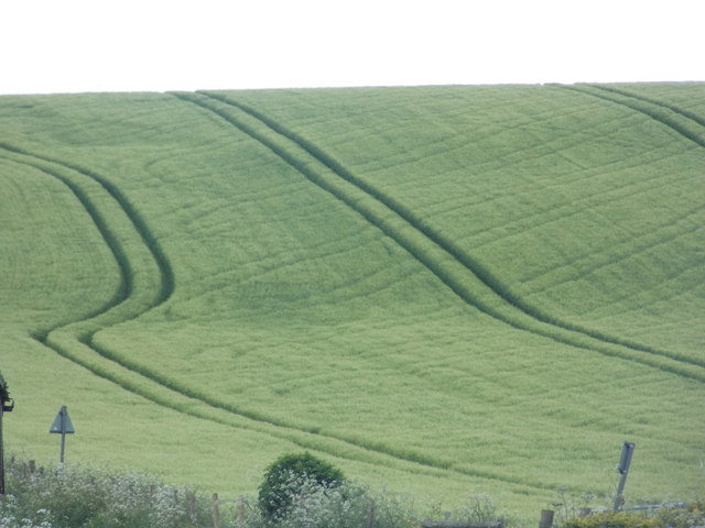
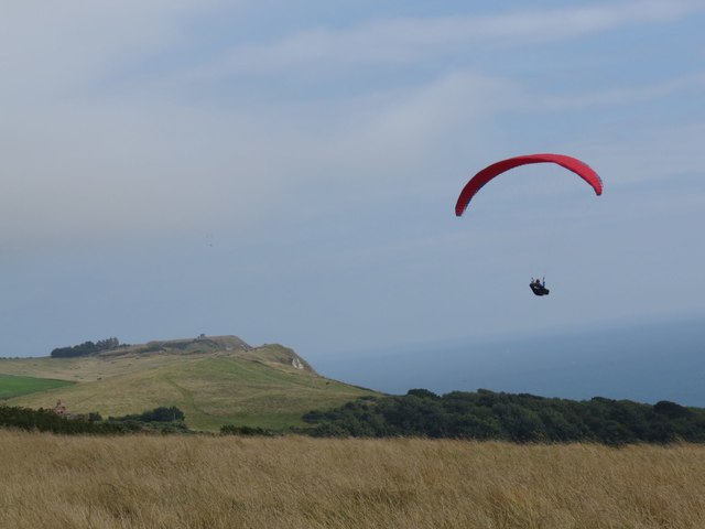
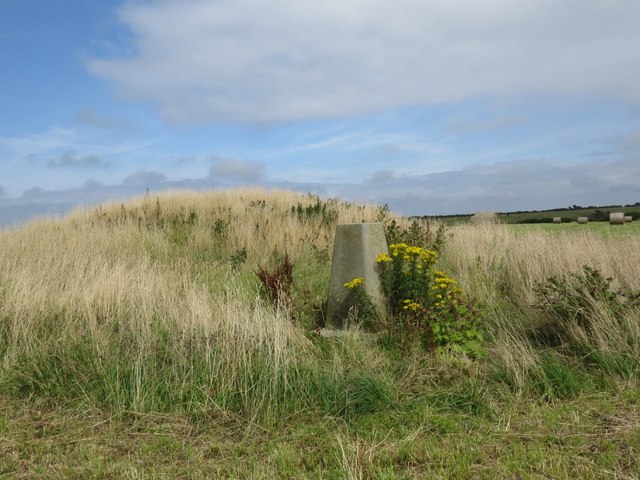
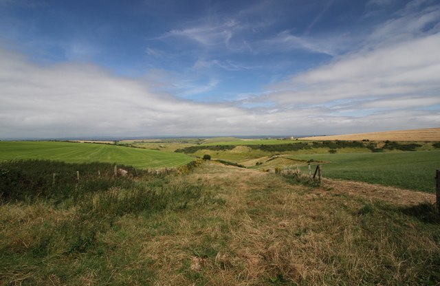
The village is renowned for its idyllic countryside, characterized by rolling hills, lush green fields, and charming thatched cottages. It is a haven for nature lovers, with an abundance of walking trails and pathways that provide opportunities to explore the stunning landscape. Holworth is also home to a variety of wildlife, including deer, rabbits, and a wide array of bird species.

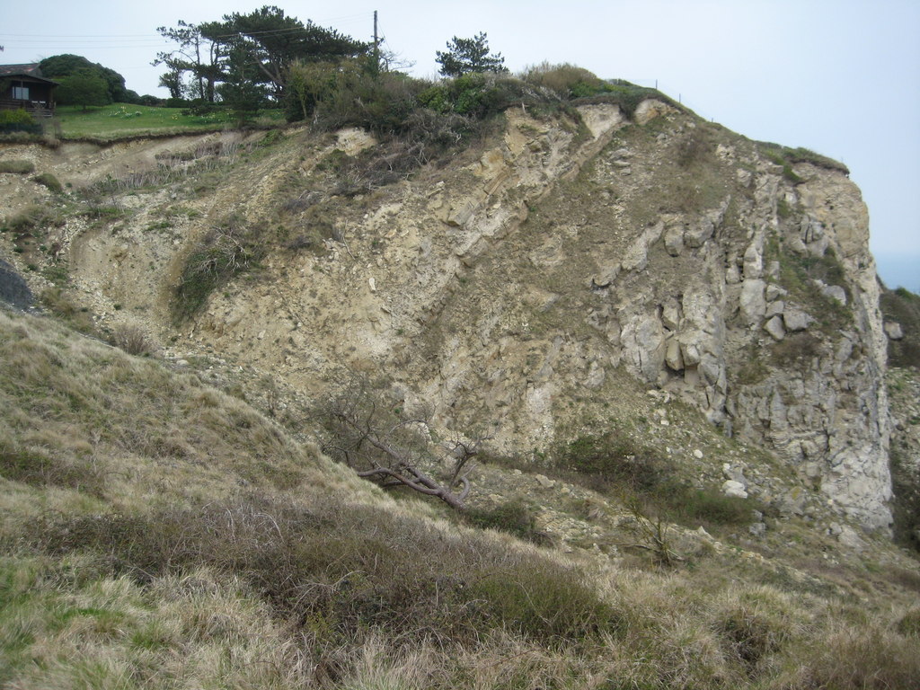
One of the main attractions in Holworth is the nearby Holworth Beach, which offers a secluded and peaceful setting for visitors. The beach is known for its clear waters, golden sands, and stunning rock formations. It is a popular spot for swimming, sunbathing, and picnicking, and is also a favorite among fossil hunters due to its rich geological history.

Despite its small size, Holworth has a strong sense of community spirit and hosts various events throughout the year, including summer fairs and village fetes. The village also has a local pub, where residents and visitors can enjoy a traditional meal or a pint of local ale.

Overall, Holworth is a hidden gem on the Dorset coast, offering a peaceful retreat from the hustle and bustle of city life, and a chance to immerse oneself in the natural beauty of the countryside.

If you have any feedback on the listing, please let us know in the comments section below.

Holworth Images

Images are sourced within 2km of 50.64917/-2.3289601 or Grid Reference SY7683. Thanks to Geograph Open Source API. All images are credited.

Signpost on South-west Coast Path
Road north of Holworth Owermoigne Down barn roof can just be seen to the left of the road.
Road north of Holworth
Owermoigne Down barn roof can just be seen to the left of the road.
Stile and footpath past Brimstone Bottom Barn
Painted sign at North Holworth Farm
Ridgeway path west of the Five Marys
Cottages and letterbox at Holworth
Lord's Barrow near Owermoigne Bronze age burial ground.
Lord's Barrow near Owermoigne
Bronze age burial ground.
Holworth: the chapel of St. Catherine’s-by-the-Sea Changes have been made to the chapel since I last photographed it in 2009 (see <a href="https://www.geograph.org.uk/photo/1416551">SY7681 : Holworth: the porch of St. Catherine’s</a>). Up to then, the entrance had been at the western end, making it difficult to photograph it in full without appearing to be from the back or side. 

Now, the entrance has been put into this northern side, making this a much more satisfactory picture.

Also, a little bell turret has been added, meaning that the bell is no longer contained in a separate frame in the churchyard (see <a href="https://www.geograph.org.uk/photo/1416570">SY7681 : Holworth: the bell of St. Catherine’s</a>).
Holworth: the chapel of St. Catherine’s-by-the-Sea
Changes have been made to the chapel since I last photographed it in 2009 (see SY7681 : Holworth: the porch of St. Catherine’s). Up to then, the entrance had been at the western end, making it difficult to photograph it in full without appearing to be from the back or side. Now, the entrance has been put into this northern side, making this a much more satisfactory picture. Also, a little bell turret has been added, meaning that the bell is no longer contained in a separate frame in the churchyard (see SY7681 : Holworth: the bell of St. Catherine’s).
Holworth: buttercups in St. Catherine’s churchyard A yellow carpet covers the churchyard on the seaward side of the <a href="https://www.geograph.org.uk/photo/4963768">SY7681 : Holworth: the chapel of St. Catherine’s-by-the-Sea</a>.
Holworth: buttercups in St. Catherine’s churchyard
A yellow carpet covers the churchyard on the seaward side of the SY7681 : Holworth: the chapel of St. Catherine’s-by-the-Sea.
Holworth: a derelict barn Looking along the northern edge of this square towards a decrepit looking barn on Brimstone Bottom. The darkish clouds look threatening but in fact the sunny appearance of the ground was far more representative of today's lovely weather - I don't think it rained all day nearby.
Holworth: a derelict barn
Looking along the northern edge of this square towards a decrepit looking barn on Brimstone Bottom. The darkish clouds look threatening but in fact the sunny appearance of the ground was far more representative of today's lovely weather - I don't think it rained all day nearby.
Holworth: a thatched barn A well built barn, a contrast to the sorry state of the one beyond but just out of sight to our left, <a href="https://www.geograph.org.uk/photo/4963779">SY7681 : Holworth: a derelict barn</a>.
Holworth: a thatched barn
A well built barn, a contrast to the sorry state of the one beyond but just out of sight to our left, SY7681 : Holworth: a derelict barn.
Holworth: a badger on White Nothe cliffs This little chap was rummaging around the grassy slopes of White Nothe, not too bothered by my approach, although he did wander off once I was within a few feet.
Holworth: a badger on White Nothe cliffs
This little chap was rummaging around the grassy slopes of White Nothe, not too bothered by my approach, although he did wander off once I was within a few feet.
West Chaldon: postbox bristles Detail of the posting slot on <a href="https://www.geograph.org.uk/photo/1415411">SY7782 : West Chaldon: postbox № DT2 11</a>.

Bristles have been attached to prevent snails from getting inside. Apparently they do not like the bristles tickling their undersides. The practice originated in November 2000 in the West Country, where the problem was particularly prevalent - especially with boxes set into walls with ivy or similar vegetation growing up around them.

As you can see, a couple of snails are in the immediate vicinity of the slot.
West Chaldon: postbox bristles
Detail of the posting slot on SY7782 : West Chaldon: postbox № DT2 11. Bristles have been attached to prevent snails from getting inside. Apparently they do not like the bristles tickling their undersides. The practice originated in November 2000 in the West Country, where the problem was particularly prevalent - especially with boxes set into walls with ivy or similar vegetation growing up around them. As you can see, a couple of snails are in the immediate vicinity of the slot.
Owermogne: tractor tracks in a green field Tractor tyre tracks pick out the contours of the ridge between Owermoigne and West Chaldon - the kink on the left is thanks to the field edge skirting round a disused pit.

The road signs facing the other way are a warning of cattle crossing (the building alongside us is marked on the map as a dairy) and, the nearer one, denoting a passing place.
Owermogne: tractor tracks in a green field
Tractor tyre tracks pick out the contours of the ridge between Owermoigne and West Chaldon - the kink on the left is thanks to the field edge skirting round a disused pit. The road signs facing the other way are a warning of cattle crossing (the building alongside us is marked on the map as a dairy) and, the nearer one, denoting a passing place.
Paraglider at Ringstead car park
St Catherine's by the Sea, Holworth Parish A delightful little wooden church on the cliffs above Ringstead Bay, modernised in 2010.
St Catherine's by the Sea, Holworth Parish
A delightful little wooden church on the cliffs above Ringstead Bay, modernised in 2010.
Moigns Down trigpoint
Down Barn, Chaldon Down Looking North from just inland of White Nothe towards West Chaldon.
Down Barn, Chaldon Down
Looking North from just inland of White Nothe towards West Chaldon.
Show me another place!

Holworth is located at Grid Ref: SY7683 (Lat: 50.64917, Lng: -2.3289601)

Unitary Authority: Dorset

Police Authority: Dorset

What 3 Words

///moisture.corrode.hovered. Near Overcombe, Dorset

Nearby Locations

Holworth Six Acre Coppice

Related Wikis

St Catherine-by-the-Sea, Holworth

St Catherine-by-the-Sea is a Church of England church in Holworth, Dorset, England. The small wooden church, which forms part of the Watercombe Benefice...

RAF Ringstead

RAF Ringstead is a former Royal Air Force radar station at Ringstead Bay, Dorset, England. It is notable for having served three separate functions: first...

Burning Cliff

Burning Cliff is a cliff under the White Nothe headland at the eastern end of Ringstead Bay, in Dorset, England. The area is well known for its geology...

Owermoigne

Owermoigne ( OH-ər-MOYN) is a village and civil parish in the county of Dorset in southern England, situated 6 miles (9.7 km) south-east of Dorchester...

Nearby Amenities

Located within 500m of 50.64917,-2.3289601
North Holworth
Place: hamlet
Lat/Long: 50.6496111/-2.3303023
Post Box
Collection Times: Mo-Fr 09:00; Sa 09:00
Operator: Royal Mail
Post Box Type: lamp
Ref: DT2 114
Ref GB Uprn: 10015474474
Royal Cypher: EIIR
Royal Cypher Wikidata: Q33102113
Lat/Long: 50.6500954/-2.3314705
The data included in this document is from www.openstreetmap.org. The data is made available under ODbL.

Have you been to Holworth?

Leave your review of Holworth below (or comments, questions and feedback).