Holtridge

Settlement in Cheshire

England

Holtridge

Yew Tree Farm by A49 The A49 is a major road, which traverses the Welsh Marches region. It runs north from Ross-on-Wye in Herefordshire via Hereford, Leominster, Ludlow, Shrewsbury and Whitchurch, then continues to Warrington and Wigan before terminating at its junction with the A6 road just south of Bamber Bridge, near the junction of the M6, M65 and M61 motorways.
Yew Tree Farm by A49 Credit: David Smith

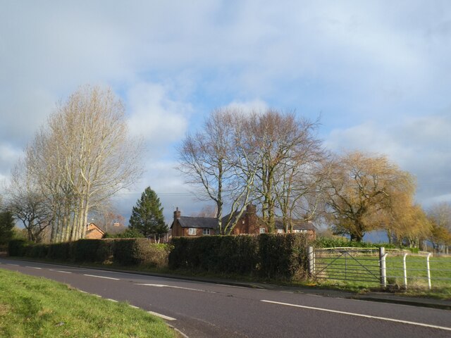
Holtridge is a small village located in the county of Cheshire, England. Situated in the heart of the beautiful Cheshire countryside, Holtridge boasts a peaceful and idyllic setting. With a population of around 300 residents, it offers a close-knit community atmosphere.

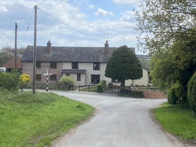
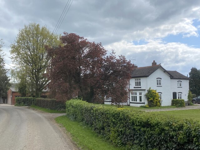
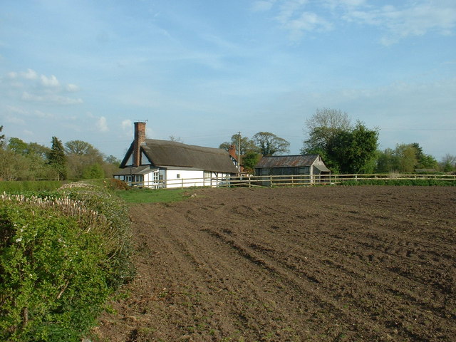
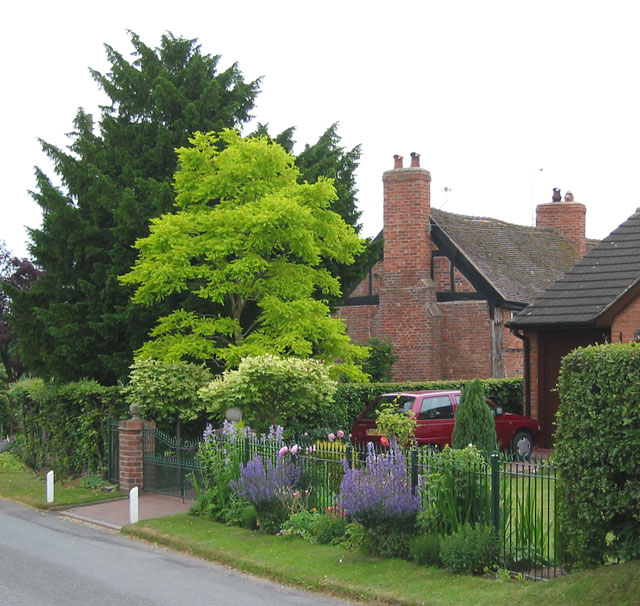
The village is known for its charming and picturesque cottages, many of which date back to the 18th century. These cottages are made from traditional Cheshire red brick, giving the village a distinctive and timeless appearance. The local architecture reflects the area's rich history and heritage.

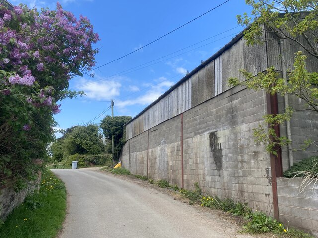
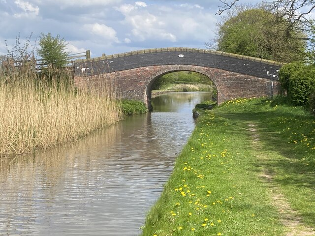
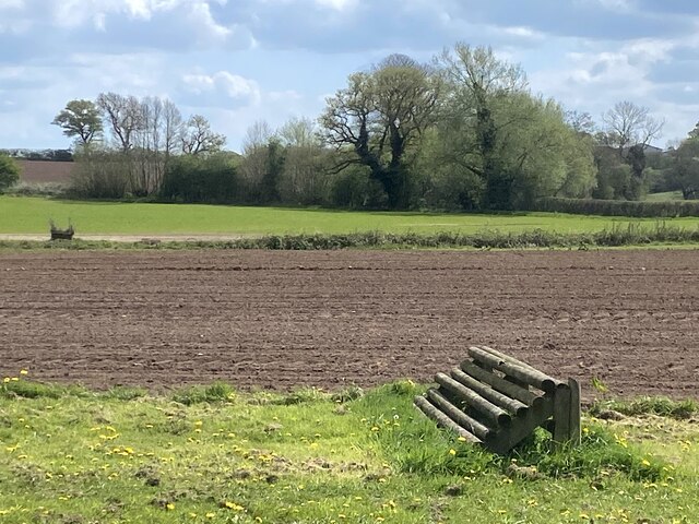
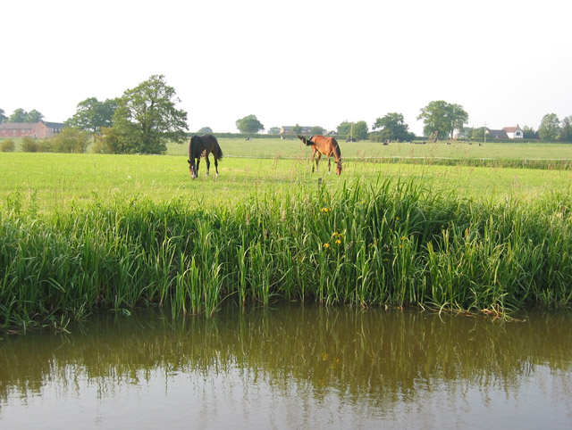
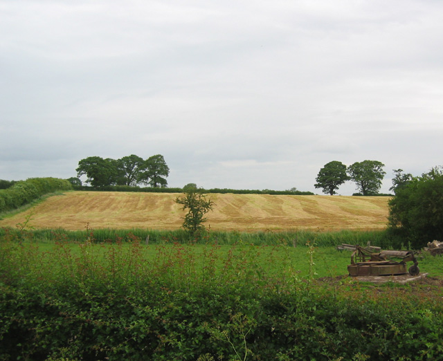
Holtridge is surrounded by stunning countryside, making it an ideal location for nature lovers and outdoor enthusiasts. The village is situated near several walking and cycling trails that wind through rolling hills, meadows, and woodlands. The nearby River Holme provides a tranquil spot for fishing and picnicking.

Despite being a small village, Holtridge offers a range of amenities to its residents and visitors. There is a local pub serving traditional cuisine and offering a warm and friendly atmosphere. The village also has a primary school, a village hall, and a small convenience store, providing essential services to the community.

Holtridge is conveniently located close to several larger towns, including Macclesfield and Congleton, which offer a wider range of amenities such as shopping centers, restaurants, and leisure facilities. The village is well-connected by road, with easy access to the A523 and A536, allowing for convenient travel to nearby areas.

Overall, Holtridge is a charming and peaceful village, perfectly suited for those seeking a rural retreat while still being within reach of larger towns and cities in Cheshire.

If you have any feedback on the listing, please let us know in the comments section below.
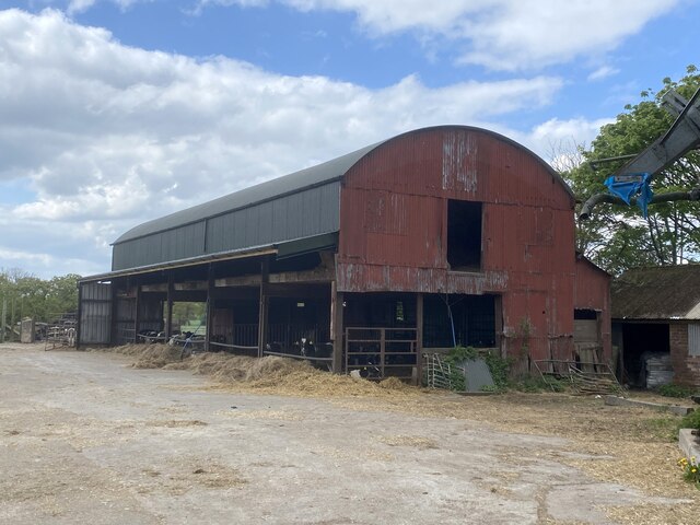
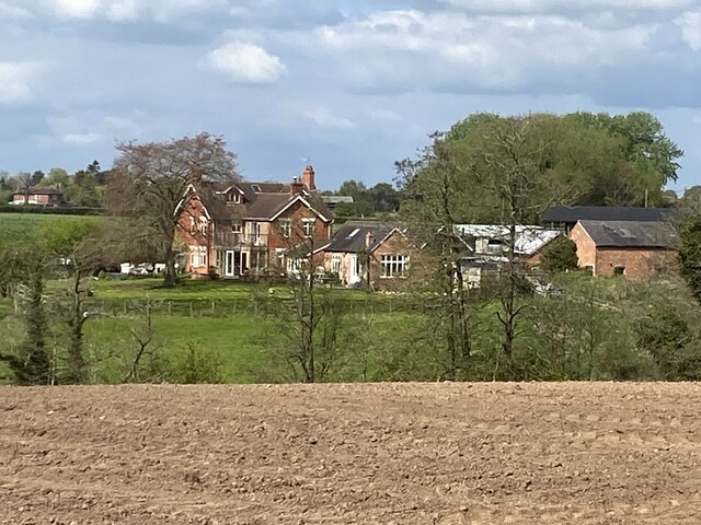
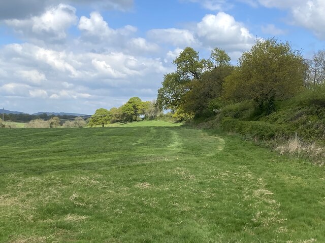
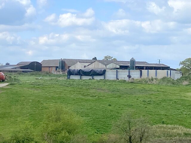
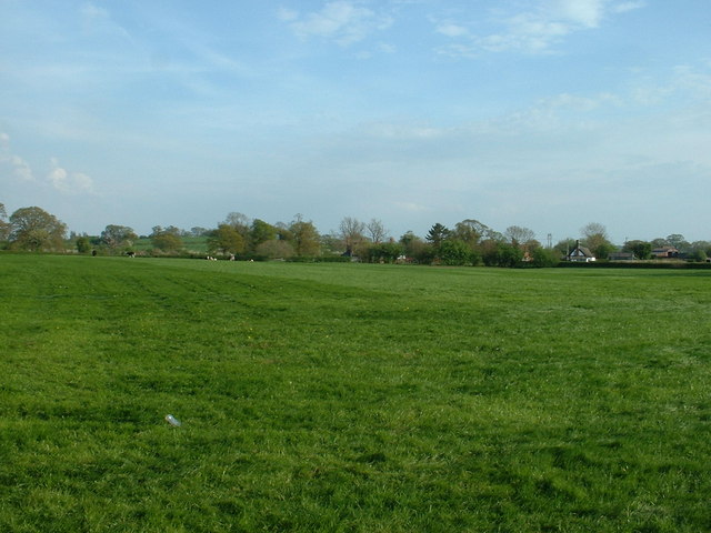
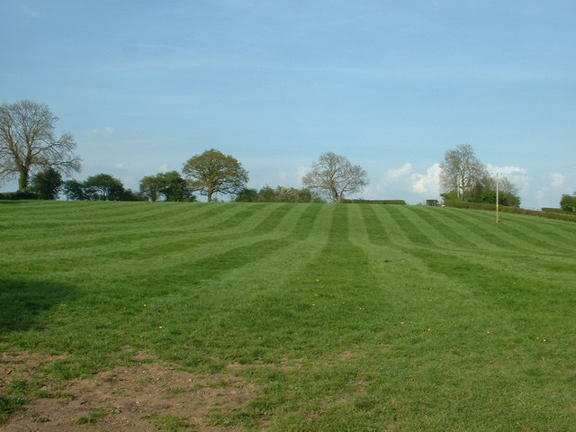
Holtridge Images

Images are sourced within 2km of 53.03272/-2.6537945 or Grid Reference SJ5648. Thanks to Geograph Open Source API. All images are credited.

Yew Tree Farm by A49 The A49 is a major road, which traverses the Welsh Marches region. It runs north from Ross-on-Wye in Herefordshire via Hereford, Leominster, Ludlow, Shrewsbury and Whitchurch, then continues to Warrington and Wigan before terminating at its junction with the A6 road just south of Bamber Bridge, near the junction of the M6, M65 and M61 motorways.
Yew Tree Farm by A49
The A49 is a major road, which traverses the Welsh Marches region. It runs north from Ross-on-Wye in Herefordshire via Hereford, Leominster, Ludlow, Shrewsbury and Whitchurch, then continues to Warrington and Wigan before terminating at its junction with the A6 road just south of Bamber Bridge, near the junction of the M6, M65 and M61 motorways.
Farm building at Higher Hall Farm, Norbury
Cottages by road junction In the centre of Norbury.
Cottages by road junction
In the centre of Norbury.
Pastoral scene Cows in field by the road junction at Norbury Common.
Pastoral scene
Cows in field by the road junction at Norbury Common.
Barn, west of Ivy House
The Heald
The Heald
Top of field
Top of field
Frith Farm
Frith Farm
Ivy House Farm
Ivy House Farm
Thomason's Bridge
Thomason's Bridge
Field with horse jump Adjacent to Llangollen canal.
Field with horse jump
Adjacent to Llangollen canal.
The leafy lane to Cholmondeley Castle Gardens
Farmland near Swanwick Green
Cottage at Swanwick Green
Nice mowing near Norbury Somewhere in the hedge/trees is a Trig Point - visible to the naked eye, but not in the photo.
Nice mowing near Norbury
Somewhere in the hedge/trees is a Trig Point - visible to the naked eye, but not in the photo.
Horses grazing by Shropshire Union canal The northern bank of the Shropshire Union canal (Llangollen Branch) in this area is set to pasture. The large farm in the background is Frith-hall Farm (left). A clump of water irises can be seen amongst the reeds (centre)
Horses grazing by Shropshire Union canal
The northern bank of the Shropshire Union canal (Llangollen Branch) in this area is set to pasture. The large farm in the background is Frith-hall Farm (left). A clump of water irises can be seen amongst the reeds (centre)
Mown field, Gauntons Bank Near the junction of the Gauntons Bank and Norbury roads, and typical of the agricultural use of this area
Mown field, Gauntons Bank
Near the junction of the Gauntons Bank and Norbury roads, and typical of the agricultural use of this area
Brook Farm, Gauntons Bank Grade-II-listed, timber-framed red-brick farmhouse dating from the late 16th or early 17th century, located by the junction of the Gauntons Bank and Norbury roads. For more information: <span class="nowrap"><a title="http://www.imagesofengland.org.uk/search/details.aspx?id=422362" rel="nofollow ugc noopener" href="http://www.imagesofengland.org.uk/search/details.aspx?id=422362">Link</a><img style="margin-left:2px;" alt="External link" title="External link - shift click to open in new window" src="https://s1.geograph.org.uk/img/external.png" width="10" height="10"/></span>
Brook Farm, Gauntons Bank
Grade-II-listed, timber-framed red-brick farmhouse dating from the late 16th or early 17th century, located by the junction of the Gauntons Bank and Norbury roads. For more information: LinkExternal link
Show me another place!

Holtridge is located at Grid Ref: SJ5648 (Lat: 53.03272, Lng: -2.6537945)

Unitary Authority: Cheshire East

Police Authority: Cheshire

What 3 Words

///scribbled.clinking.documents. Near Bickley, Cheshire

Nearby Locations

Holtridge

Related Wikis

Norbury, Cheshire

Norbury is a hamlet and former civil parish, now in the parish of Marbury and District, in the Cheshire East district, in the ceremonial county of Cheshire...

St Wenefrede's Church, Bickley

St Wenefrede's Church is in Bickley, Cheshire, England. The church is recorded in the National Heritage List for England as a designated Grade II listed...

Chorley, Cholmondeley

Chorley is a hamlet (at SJ574511) and civil parish in the unitary authority of Cheshire East and the ceremonial county of Cheshire, England. The hamlet...

Marbury, Cheshire

Marbury is a small village located at SJ560457 in the civil parish of Marbury and District, formerly Marbury cum Quoisley, within the unitary authority...

Nearby Amenities

Located within 500m of 53.03272,-2.6537945
Fields Farm
Alt Name: Cholmondeley Brook Farm
Place: farm
Source: Bing
Lat/Long: 53.0352091/-2.6546824
Holtridge Court
Alt Name: Holtridge
Place: isolated_dwelling
Source: Bing
Lat/Long: 53.031639/-2.6556191
Holtridge Farm
Place: farm
Source: Bing
Lat/Long: 53.0315172/-2.6518298
Outridge Barn
Place: farm
Source: Bing
Lat/Long: 53.0330648/-2.6518298
The Holtridge
Place: locality
Source: Bing
Lat/Long: 53.0321508/-2.6538967
Power: tower
Lat/Long: 53.0291052/-2.6555787
Power: tower
Lat/Long: 53.0304456/-2.6504946
Power: tower
Lat/Long: 53.0317522/-2.6483702
Power: tower
Lat/Long: 53.0326675/-2.6468964
Power: tower
Lat/Long: 53.0297875/-2.6530159
The data included in this document is from www.openstreetmap.org. The data is made available under ODbL.

Have you been to Holtridge?

Leave your review of Holtridge below (or comments, questions and feedback).