Holmbush

Settlement in Cornwall

England

Holmbush

Passing place on Kit Hill Climb
Passing place on Kit Hill Climb Credit: David Smith

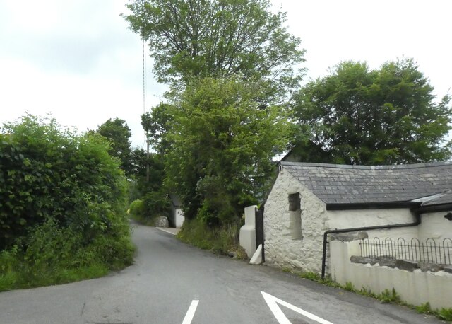
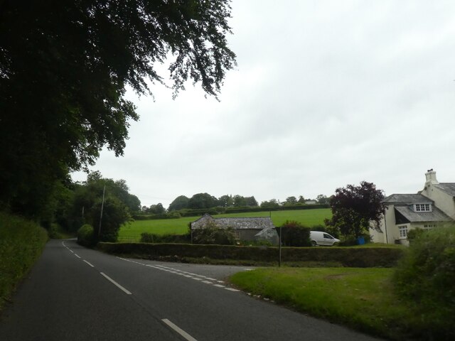
Holmbush is a small village located in the county of Cornwall, England. Situated about 4 miles north of St Austell, it is nestled in a rural setting surrounded by picturesque countryside. The village itself consists of a cluster of traditional stone-built houses, giving it a quaint and timeless charm.

Holmbush is primarily a residential area, with a close-knit community that prides itself on its friendly and welcoming atmosphere. The village is well-connected to neighboring towns and villages, making it an ideal location for those seeking a peaceful retreat while still having easy access to amenities.

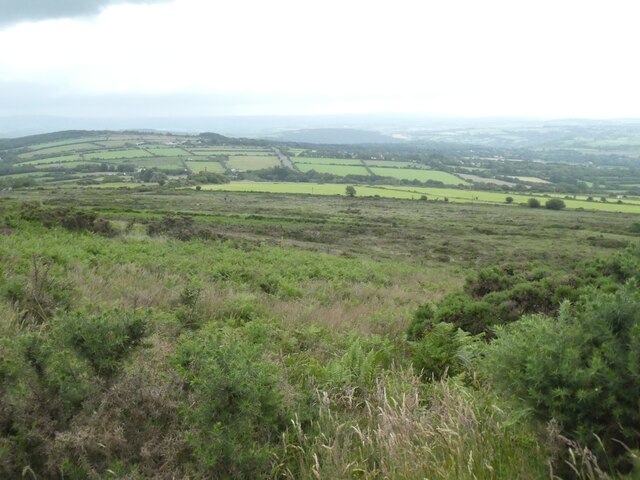
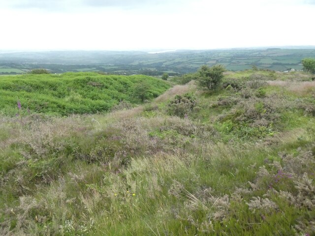
One notable feature of Holmbush is its proximity to the beautiful and expansive Holmbush Forest. This woodland area is a popular destination for outdoor enthusiasts, offering a range of activities such as hiking, cycling, and nature walks. The forest is home to a diverse array of wildlife, including various species of birds, mammals, and rare plants, making it a haven for nature lovers.

In terms of amenities, Holmbush has a small convenience store that caters to the everyday needs of its residents. For more extensive shopping and entertainment options, the nearby town of St Austell provides a range of supermarkets, restaurants, and leisure facilities.

Overall, Holmbush is a tranquil and idyllic village, perfect for those seeking a peaceful lifestyle surrounded by natural beauty. Its close proximity to the Holmbush Forest adds to its appeal, making it an attractive destination for outdoor enthusiasts and nature lovers.

If you have any feedback on the listing, please let us know in the comments section below.
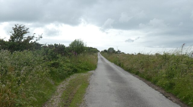
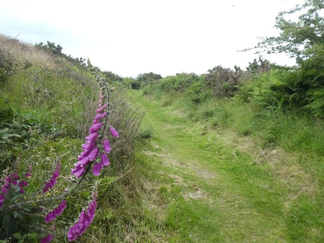
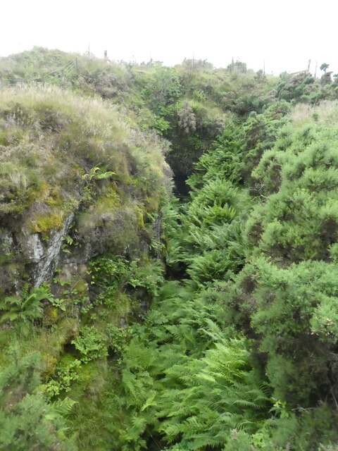
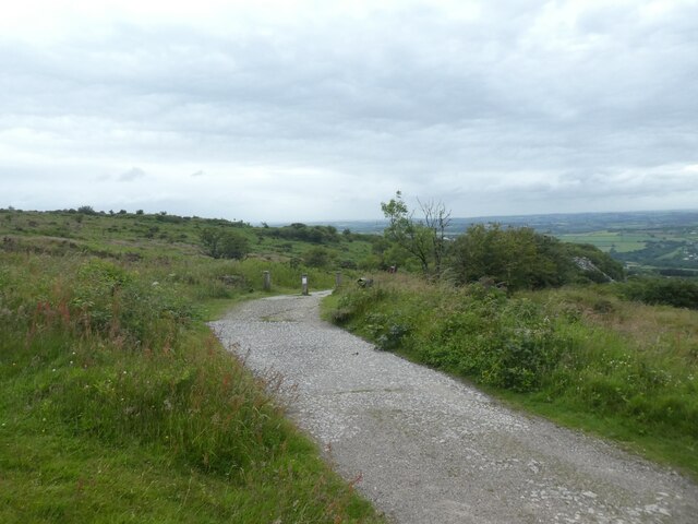
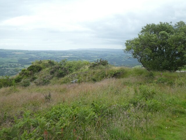
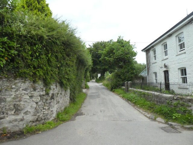
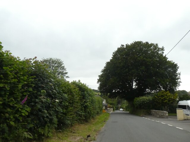
Holmbush Images

Images are sourced within 2km of 50.528334/-4.308029 or Grid Reference SX3672. Thanks to Geograph Open Source API. All images are credited.

Passing place on Kit Hill Climb
Path through earthwoks on Kit Hill
Mine workings, east slope of Kit Hill
View south from Kit Hill Looking south to the valley of the River Tamar
View south from Kit Hill
Looking south to the valley of the River Tamar
Earthworks near summit of Kit Hill
Trig pillar on Kit Hill
The stack on Kit Hill The old mine chimney, a landmark from the surrounding country, now supports several phone and other communication aerials
The stack on Kit Hill
The old mine chimney, a landmark from the surrounding country, now supports several phone and other communication aerials
Toposcope and view south from Kit Hill One of the toposcopes on the hill; sensibly, they are rectangular, so the viewer can stand (more or less) at the origin.
Toposcope and view south from Kit Hill
One of the toposcopes on the hill; sensibly, they are rectangular, so the viewer can stand (more or less) at the origin.
Footpath on Kit Hill Kit Hill (Cornish: Bre Skowl), at 334 metres high, dominates the area between Callington and the River Tamar in southeast Cornwall. The word 'Kit' comes from Old English for kite, a reference to birds of prey (and not specifically the red kite).
Kit Hill Country Park (which includes the hill and surrounding areas), was given to the people of Cornwall in 1985 to mark the birth of Prince William, by his father, the Duke of Cornwall. It is managed by Cornwall Council, and consists of some 152 hectares, making it the most dominant landscape feature in East Cornwall. Kit Hill is the highest point in the Tamar Valley Area of Outstanding Natural Beauty.
The hill was formed in the same way as nearby Bodmin Moor by the intrusion of magma into overlying sedimentary rocks. This caused the formation of many mineral deposits that were mined extensively in the 18th and early 19th centuries. 
The Country Park is steeped in mining history. Metals extracted included tin, silver, copper and tungsten.
The main mines were:
Kit Hill Summit Mines. These mines and shafts started about 1826: Kit Hill United closed in 1864.
East Kit Hill Mine was worked from 1855 to 1909.
Hingston Down mine. This was a very early mine, and evidence shows it may have started in the 17th century: it closed in 1885.
South Kit Hill Mine was worked from 1856 to 1884.
Footpath on Kit Hill
Kit Hill (Cornish: Bre Skowl), at 334 metres high, dominates the area between Callington and the River Tamar in southeast Cornwall. The word 'Kit' comes from Old English for kite, a reference to birds of prey (and not specifically the red kite). Kit Hill Country Park (which includes the hill and surrounding areas), was given to the people of Cornwall in 1985 to mark the birth of Prince William, by his father, the Duke of Cornwall. It is managed by Cornwall Council, and consists of some 152 hectares, making it the most dominant landscape feature in East Cornwall. Kit Hill is the highest point in the Tamar Valley Area of Outstanding Natural Beauty. The hill was formed in the same way as nearby Bodmin Moor by the intrusion of magma into overlying sedimentary rocks. This caused the formation of many mineral deposits that were mined extensively in the 18th and early 19th centuries. The Country Park is steeped in mining history. Metals extracted included tin, silver, copper and tungsten. The main mines were: Kit Hill Summit Mines. These mines and shafts started about 1826: Kit Hill United closed in 1864. East Kit Hill Mine was worked from 1855 to 1909. Hingston Down mine. This was a very early mine, and evidence shows it may have started in the 17th century: it closed in 1885. South Kit Hill Mine was worked from 1856 to 1884.
Mining spoil on Kit Hill Kit Hill (Cornish: Bre Skowl), at 334 metres high, dominates the area between Callington and the River Tamar in southeast Cornwall. The word 'Kit' comes from Old English for kite, a reference to birds of prey (and not specifically the red kite).
Kit Hill Country Park (which includes the hill and surrounding areas), was given to the people of Cornwall in 1985 to mark the birth of Prince William, by his father, the Duke of Cornwall. It is managed by Cornwall Council, and consists of some 152 hectares, making it the most dominant landscape feature in East Cornwall. Kit Hill is the highest point in the Tamar Valley Area of Outstanding Natural Beauty.
The hill was formed in the same way as nearby Bodmin Moor by the intrusion of magma into overlying sedimentary rocks. This caused the formation of many mineral deposits that were mined extensively in the 18th and early 19th centuries. 
The Country Park is steeped in mining history. Metals extracted included tin, silver, copper and tungsten.
The main mines were:
Kit Hill Summit Mines. These mines and shafts started about 1826: Kit Hill United closed in 1864.
East Kit Hill Mine was worked from 1855 to 1909.
Hingston Down mine. This was a very early mine, and evidence shows it may have started in the 17th century: it closed in 1885.
South Kit Hill Mine was worked from 1856 to 1884.
Mining spoil on Kit Hill
Kit Hill (Cornish: Bre Skowl), at 334 metres high, dominates the area between Callington and the River Tamar in southeast Cornwall. The word 'Kit' comes from Old English for kite, a reference to birds of prey (and not specifically the red kite). Kit Hill Country Park (which includes the hill and surrounding areas), was given to the people of Cornwall in 1985 to mark the birth of Prince William, by his father, the Duke of Cornwall. It is managed by Cornwall Council, and consists of some 152 hectares, making it the most dominant landscape feature in East Cornwall. Kit Hill is the highest point in the Tamar Valley Area of Outstanding Natural Beauty. The hill was formed in the same way as nearby Bodmin Moor by the intrusion of magma into overlying sedimentary rocks. This caused the formation of many mineral deposits that were mined extensively in the 18th and early 19th centuries. The Country Park is steeped in mining history. Metals extracted included tin, silver, copper and tungsten. The main mines were: Kit Hill Summit Mines. These mines and shafts started about 1826: Kit Hill United closed in 1864. East Kit Hill Mine was worked from 1855 to 1909. Hingston Down mine. This was a very early mine, and evidence shows it may have started in the 17th century: it closed in 1885. South Kit Hill Mine was worked from 1856 to 1884.
Minor road near Downgate
Roadside tree in Downgate
Road to Kelly Bray from Downgate
Junction with Stoke Road near Alren Farm
Parking and viewpoint on Kit Hill On the climb towards the summit.
Parking and viewpoint on Kit Hill
On the climb towards the summit.
Chimney on Kit Hill A reminder of the site's mining past but I can't say I appreciate the various antennae that clutter it. The chimney is 85' tall and was built in 1858. Its decorative design was influenced by its prominence on land owned by the Duchy of Cornwall. It served the boilers for a 30" rotative engine driving a crusher, stamps and pumps via flat rods.
Chimney on Kit Hill
A reminder of the site's mining past but I can't say I appreciate the various antennae that clutter it. The chimney is 85' tall and was built in 1858. Its decorative design was influenced by its prominence on land owned by the Duchy of Cornwall. It served the boilers for a 30" rotative engine driving a crusher, stamps and pumps via flat rods.
Chimney on Kit Hill Not the well known chimney at the summit but a rather plain one further down the slope to the south. This belonged to South Kit Hill Mine and dates from 1856.
Chimney on Kit Hill
Not the well known chimney at the summit but a rather plain one further down the slope to the south. This belonged to South Kit Hill Mine and dates from 1856.
Trig point on Kit Hill
Show me another place!

Holmbush is located at Grid Ref: SX3672 (Lat: 50.528334, Lng: -4.308029)

Unitary Authority: Cornwall

Police Authority: Devon and Cornwall

What 3 Words

///circle.worthy.dragon. Near South Hill, Cornwall

Nearby Locations

Holmbush

Related Wikis

Callington railway station

Callington railway station (Cornish: Kelliwik) was a railway station in the village of Kelly Bray, one mile (1.6 km) north of the centre of the small town...

Kelly Bray

Kelly Bray (Cornish: Kellivre) is a village in east Cornwall, England, United Kingdom. It is situated one mile (1.6 km) north of Callington, immediately...
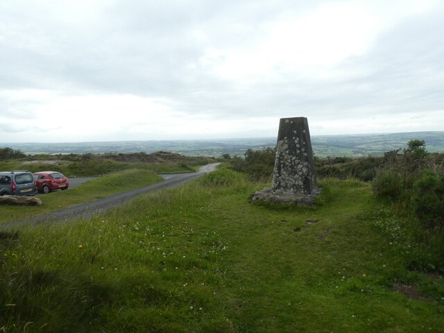
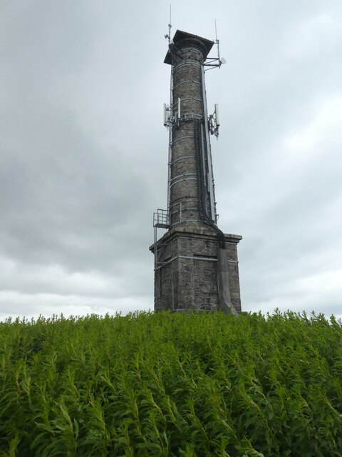
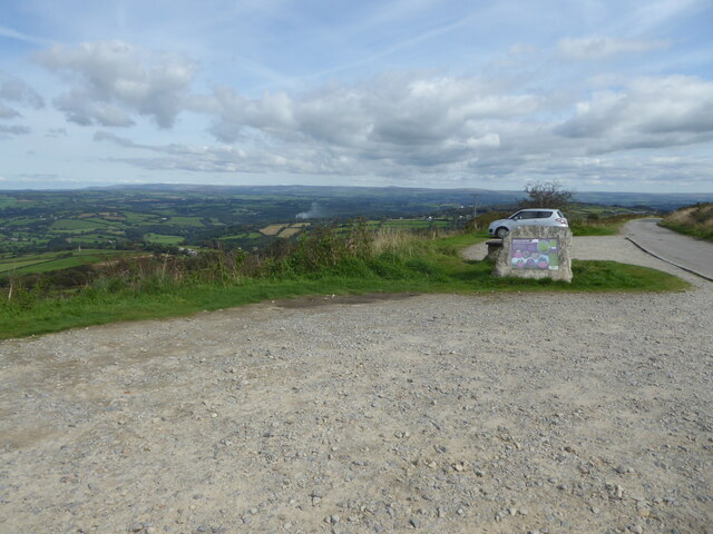
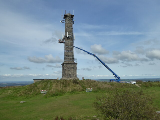
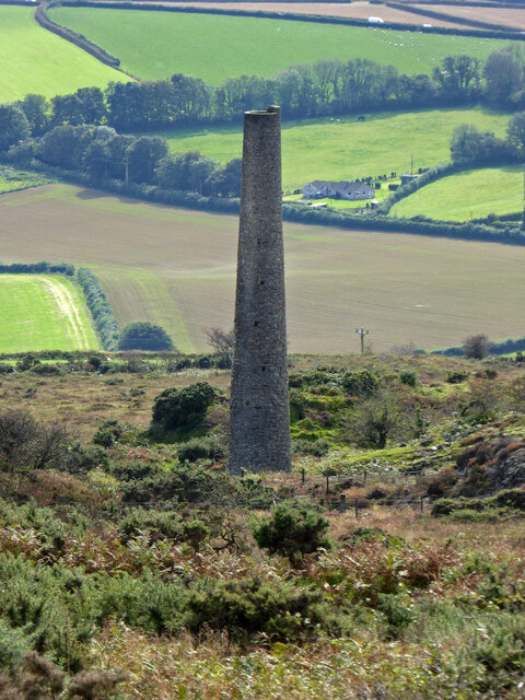
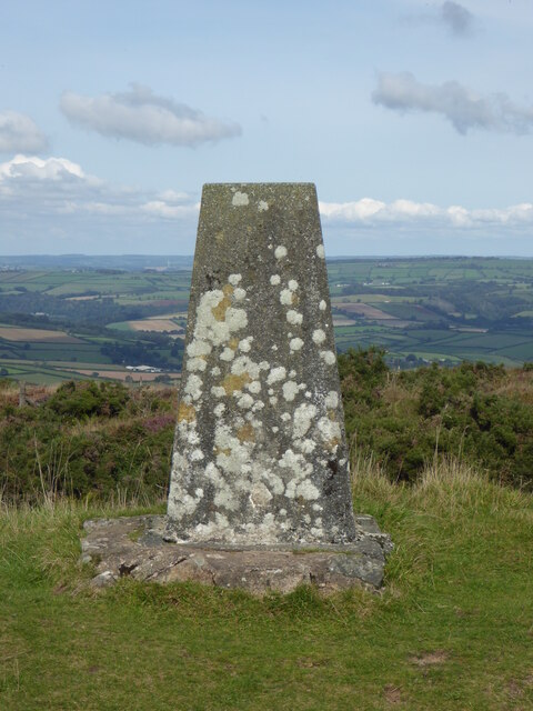
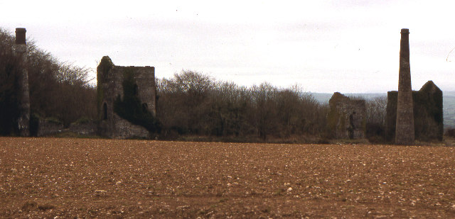
Kit Hill

Kit Hill (Cornish: Bre Skowl), at 334 metres high, dominates the area between Callington and the River Tamar in southeast Cornwall, England, UK. The word...

Old Mill, Cornwall

Old Mill is a hamlet in the civil parish of Stokeclimsland, Cornwall, England. == References ==

Monkscross

Monkscross is a hamlet in the civil parish of Stokeclimsland, Cornwall, England. == References ==

Luckett railway station

Luckett railway station (Cornish: Boslova) served the hamlet of Luckett, Cornwall, England, from 1908 to 1966 on the Callington Branch. == History == The...

Stoke Climsland

Stoke Climsland is a village in the valley of the River Tamar, Cornwall, England, United Kingdom within the civil parish of Stokeclimsland. The population...

Whiteford House

Whiteford House was an English country house near Stoke Climsland, Cornwall. It was built in 1775 by John Call and demolished in 1913. == History == There...

Nearby Amenities

Located within 500m of 50.528334,-4.308029
Generator Method: photovoltaic
Generator Output Electricity: yes
Generator Source: solar
Generator Type: solar_photovoltaic_panel
Location: roof
Power: generator
Lat/Long: 50.5284323/-4.3020635
Generator Method: photovoltaic
Generator Output Electricity: yes
Generator Source: solar
Generator Type: solar_photovoltaic_panel
Location: roof
Power: generator
Lat/Long: 50.5300664/-4.3016984
Generator Method: photovoltaic
Generator Output Electricity: yes
Generator Source: solar
Generator Type: solar_photovoltaic_panel
Location: roof
Power: generator
Lat/Long: 50.528698/-4.3019238
Generator Method: photovoltaic
Generator Output Electricity: yes
Generator Source: solar
Generator Type: solar_photovoltaic_panel
Location: roof
Power: generator
Lat/Long: 50.5289034/-4.3016794
Generator Method: photovoltaic
Generator Output Electricity: yes
Generator Source: solar
Generator Type: solar_photovoltaic_panel
Location: roof
Power: generator
Lat/Long: 50.5293975/-4.3030753
Generator Method: photovoltaic
Generator Output Electricity: yes
Generator Source: solar
Generator Type: solar_photovoltaic_panel
Location: roof
Power: generator
Lat/Long: 50.5302022/-4.3016483
Generator Method: photovoltaic
Generator Output Electricity: yes
Generator Source: solar
Generator Type: solar_photovoltaic_panel
Location: roof
Power: generator
Lat/Long: 50.5289101/-4.301617
The data included in this document is from www.openstreetmap.org. The data is made available under ODbL.

Have you been to Holmbush?

Leave your review of Holmbush below (or comments, questions and feedback).