Hollingwood Estate

Settlement in Derbyshire Chesterfield

England

Hollingwood Estate

Brimington Cemetery A Chesterfield Borough Council cemetery, enhanced by autumn leaves.
Brimington Cemetery Credit: Bill Boaden

Hollingwood Estate is a picturesque area located in Derbyshire, England. Situated near the bustling town of Chesterfield, this estate is known for its stunning natural beauty and rich history.

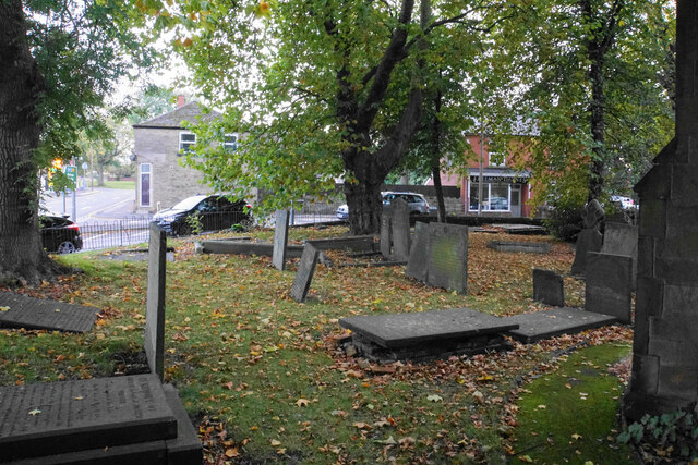
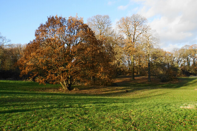
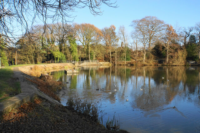
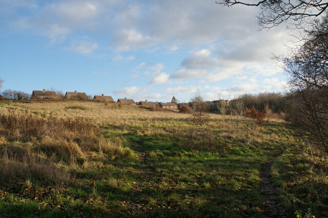
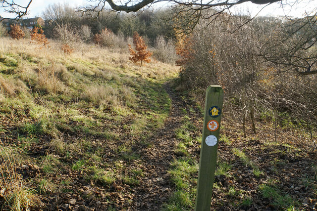
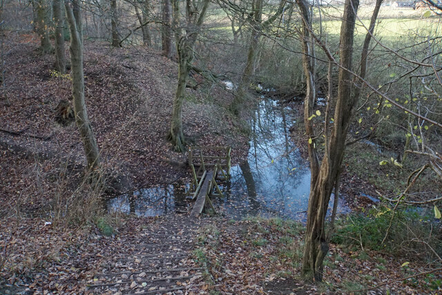
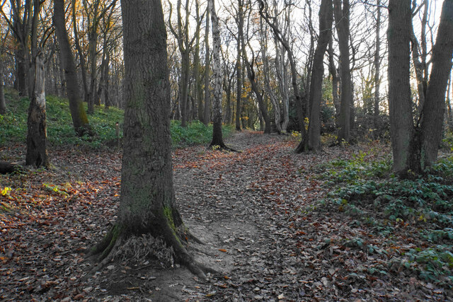
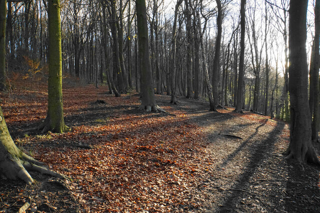
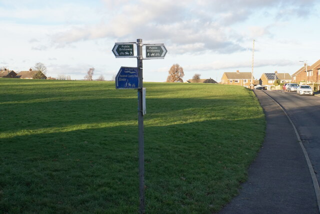
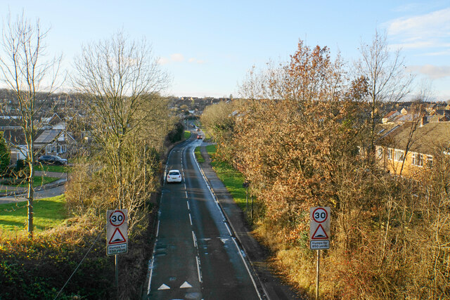
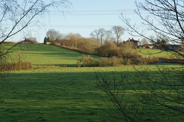
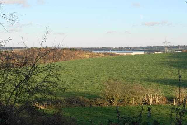
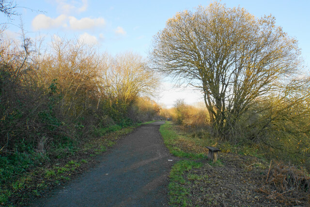
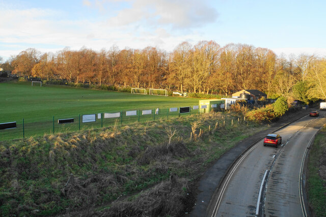
The estate covers a vast area, encompassing lush green fields, dense woodlands, and a tranquil lake. It offers breathtaking views of the surrounding countryside, making it a popular destination for nature enthusiasts and photographers. The well-maintained walking trails provide opportunities for visitors to explore the estate's diverse flora and fauna.

One of the highlights of Hollingwood Estate is its historic Hollingwood Hall. Dating back to the 18th century, this grand manor house adds an air of elegance and charm to the estate. The hall is often used for weddings, events, and conferences, and serves as a reminder of the estate's past.

The estate is also home to the Chesterfield Canal, which runs through its grounds. This canal is a popular spot for boating and fishing, attracting both locals and tourists. The canal towpath offers a scenic route for walkers and cyclists, allowing them to enjoy the peaceful ambiance of the estate.

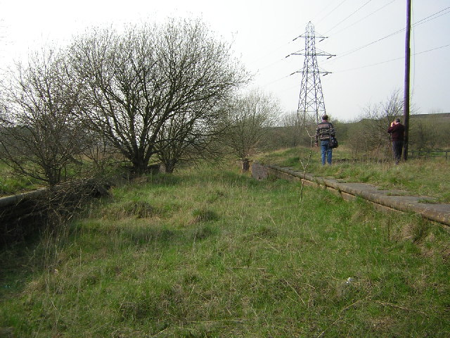
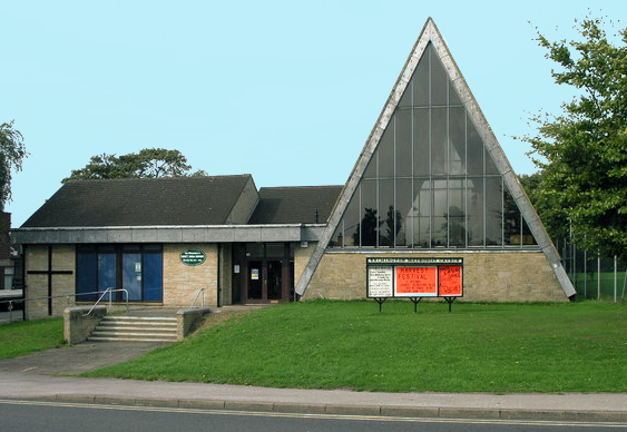
In addition to its natural beauty, Hollingwood Estate is also renowned for its rich mining heritage. The estate was once home to numerous coal mines which played a significant role in the region's industrial history. Today, the Hollingwood Hub, a community center, celebrates this heritage and offers a range of activities and events for visitors to enjoy.

Overall, Hollingwood Estate is a captivating place that seamlessly combines natural beauty, history, and recreational opportunities. Whether one is seeking a peaceful retreat in nature or an insight into Derbyshire's industrial past, this estate offers something for everyone.

If you have any feedback on the listing, please let us know in the comments section below.

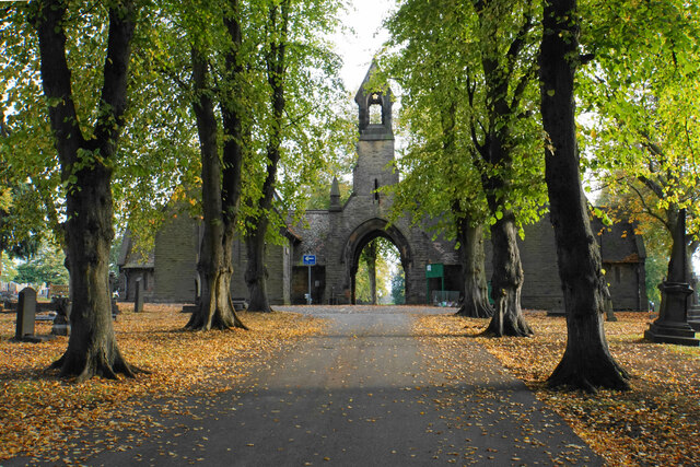
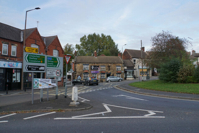
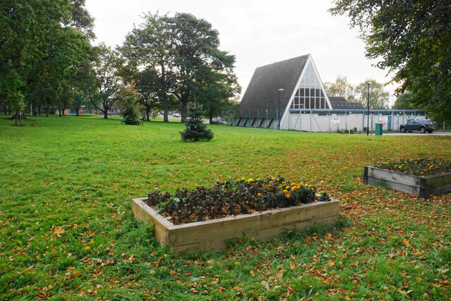
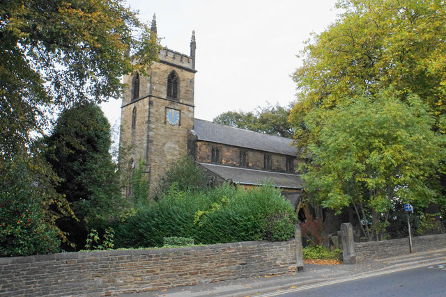
Hollingwood Estate Images

Images are sourced within 2km of 53.263465/-1.3801056 or Grid Reference SK4174. Thanks to Geograph Open Source API. All images are credited.

Brimington Cemetery A Chesterfield Borough Council cemetery, enhanced by autumn leaves.
Brimington Cemetery
A Chesterfield Borough Council cemetery, enhanced by autumn leaves.
The western end of the Brimington gyratory system The A619 passing through this village requires a gyratory system in the middle, which is also fed by other minor roads.
The western end of the Brimington gyratory system
The A619 passing through this village requires a gyratory system in the middle, which is also fed by other minor roads.
Green in the centre of Brimington A large green within the gyratory system. The triangular building is the Methodist church.
Green in the centre of Brimington
A large green within the gyratory system. The triangular building is the Methodist church.
St Michael & All Angels, Brimington A Grade II listed church with Georgian origins, but with major Victorian modifications.
St Michael & All Angels, Brimington
A Grade II listed church with Georgian origins, but with major Victorian modifications.
Churchyard of St Michael & All Angels A small churchyard. The road beyond is the eastern end of the Brimington gyratory.
Churchyard of St Michael & All Angels
A small churchyard. The road beyond is the eastern end of the Brimington gyratory.
Ringwood Park A park between Brimington and Staveley.
Ringwood Park
A park between Brimington and Staveley.
Lake in Ringwood Park A former reservoir now used by waterfowl and anglers.
Lake in Ringwood Park
A former reservoir now used by waterfowl and anglers.
Path near Trough Brook Some of the houses on the edge of Inkersall Green are seen ahead.
Path near Trough Brook
Some of the houses on the edge of Inkersall Green are seen ahead.
Path near Trough Brook Trough Brook is down to the right and the path follows the valley. This is part of the route of West Wood Long Walk.
Path near Trough Brook
Trough Brook is down to the right and the path follows the valley. This is part of the route of West Wood Long Walk.
Path by Trough Brook The path crosses a tributary of Trough Brook. There is a plank missing at the far end of the footbridge but it is possible to take a big step across.
Path by Trough Brook
The path crosses a tributary of Trough Brook. There is a plank missing at the far end of the footbridge but it is possible to take a big step across.
Path in West Wood West Wood is ancient woodland managed by Chesterfield Borough Council. It was mentioned in the Domesday Book.
Path in West Wood
West Wood is ancient woodland managed by Chesterfield Borough Council. It was mentioned in the Domesday Book.
Path in West Wood West Wood is ancient woodland managed by Chesterfield Borough Council. It was mentioned in the Domesday Book.
Path in West Wood
West Wood is ancient woodland managed by Chesterfield Borough Council. It was mentioned in the Domesday Book.
Open green space at Inkersall Green A large area retained when the village was vastly expanded to become a residential suburb of Staveley. The Trans Pennine Trail runs through part of the village.
Open green space at Inkersall Green
A large area retained when the village was vastly expanded to become a residential suburb of Staveley. The Trans Pennine Trail runs through part of the village.
Inkersall Green Road Heading towards the centre of Inkersall Green and viewed from the Trans Pennine Trail which crosses it.
Inkersall Green Road
Heading towards the centre of Inkersall Green and viewed from the Trans Pennine Trail which crosses it.
Fields below Inkersall Farm The eastern side of the Trans Pennine Trail, in contrast to the western side which has all been developed as part of Inkersall Green.
Fields below Inkersall Farm
The eastern side of the Trans Pennine Trail, in contrast to the western side which has all been developed as part of Inkersall Green.
Fields near Inkersall Green The fields are on the opposite side of the Trans Pennine Trail to the housing development of Inkersall Green. In this view, the wooded hillside to the left is part of Pools Brook Country Park. The Great Bear distribution warehouse near Junction 29a of the M1 is seen straight ahead and behind that you can see moving traffic on the M1.
Fields near Inkersall Green
The fields are on the opposite side of the Trans Pennine Trail to the housing development of Inkersall Green. In this view, the wooded hillside to the left is part of Pools Brook Country Park. The Great Bear distribution warehouse near Junction 29a of the M1 is seen straight ahead and behind that you can see moving traffic on the M1.
Trans Pennine Trail Passing Inkersall Green to the left, though most of it is screened by foliage and sometimes a cutting.
Trans Pennine Trail
Passing Inkersall Green to the left, though most of it is screened by foliage and sometimes a cutting.
Inkersall Road I think the football ground is linked to Staveley Miners Welfare FC though their main ground is further up the road. It is viewed from the Trans Pennine Trail which crosses the road on a former railway bridge.
Inkersall Road
I think the football ground is linked to Staveley Miners Welfare FC though their main ground is further up the road. It is viewed from the Trans Pennine Trail which crosses the road on a former railway bridge.
Show me another place!

Hollingwood Estate is located at Grid Ref: SK4174 (Lat: 53.263465, Lng: -1.3801056)

Administrative County: Derbyshire

District: Chesterfield

Police Authority: Derbyshire

What 3 Words

///local.trains.pies. Near Staveley, Derbyshire

Nearby Locations

Hollingwood Estate

Related Wikis

Hollingwood

Hollingwood is a small village approximately four miles north east of Chesterfield, Derbyshire, England. == Description == Hollingwood and Barrow Hill...

Staveley Works railway station

Staveley Works railway station was on the outskirts of the town of Staveley, Derbyshire. The station was on the Great Central Chesterfield Loop which ran...

Brimington

Brimington is a large village and civil parish in the Borough of Chesterfield in Derbyshire, England. The population of the parish taken at the 2011 census...

Barrow Hill railway station

Barrow Hill railway station is a former railway station in the village of Barrow Hill in northern Derbyshire, England. == History == The station was originally...

Nearby Amenities

Located within 500m of 53.263465,-1.3801056
Seamark Type: gate
Waterway: lock_gate
Lat/Long: 53.2669246/-1.3785405
Hollingwood Lock
Seamark Type: gate
Waterway: lock_gate
Lat/Long: 53.2669696/-1.378198
Barrier: cycle_barrier
Bicycle: yes
Foot: yes
Lat/Long: 53.2670625/-1.3780322
Barrier: stile
Bicycle: yes
Foot: yes
Lat/Long: 53.2671291/-1.3777791
Hollingwood
Is In: Derbyshire, England, UK
Place: suburb
Wikidata: Q9293345
Lat/Long: 53.2634771/-1.3817323
Bench
Ele: 56.3625488
Lat/Long: 53.267352/-1.3818833
Bench
Ele: 55.8819580
Lat/Long: 53.2674325/-1.38328
Bench
Ele: 56.3625488
Lat/Long: 53.2670697/-1.3804499
Bus Stop
Bus: yes
Ele: 78.2324219
Public Transport: platform
Lat/Long: 53.2605387/-1.3776187
Bus Stop
Bus: yes
Ele: 80.6357422
Naptan AtcoCode: 1000DHCL6823
Naptan NaptanCode: dbsdpgjp
Public Transport: platform
Lat/Long: 53.260308/-1.3779607
Staveley Works
Historic Railway: station
Railway: site
Wikidata: Q7604810
Wikipedia: en:Staveley Works railway station
Lat/Long: 53.267032/-1.3796691
Cafe
Katey’s Coffee Shop
Lat/Long: 53.2670667/-1.3782078
Power: tower
Lat/Long: 53.266149/-1.3751462
Power: tower
Lat/Long: 53.2671946/-1.3831966
Fast Food
Hollingwood Star
Cuisine: pizza
Lat/Long: 53.2647572/-1.3798444
Fast Food
Happiness House
Cuisine: chinese
Lat/Long: 53.2646743/-1.3797707
Bench
Lat/Long: 53.2653915/-1.385476
Fast Food
Spice House
Lat/Long: 53.2646092/-1.3796842
Bus Stop
Bus: yes
Public Transport: platform
Lat/Long: 53.2620429/-1.3813
Defibrillator
Access: yes
Check Date: 2023-03-09
Defibrillator Location En: On outside wall of café.
Emergency: defibrillator
Indoor: no
Lat/Long: 53.2670527/-1.3781189
Generator Method: photovoltaic
Generator Output Electricity: yes
Generator Source: solar
Generator Type: solar_photovoltaic_panel
Location: roof
Power: generator
Lat/Long: 53.2659132/-1.3804064
Generator Method: photovoltaic
Generator Output Electricity: yes
Generator Source: solar
Generator Type: solar_photovoltaic_panel
Location: roof
Power: generator
Lat/Long: 53.2657447/-1.3799879
Generator Method: photovoltaic
Generator Output Electricity: yes
Generator Source: solar
Generator Type: solar_photovoltaic_panel
Location: roof
Power: generator
Lat/Long: 53.2657496/-1.3794059
Generator Method: photovoltaic
Generator Output Electricity: yes
Generator Source: solar
Generator Type: solar_photovoltaic_panel
Location: roof
Power: generator
Lat/Long: 53.2656148/-1.3803447
Generator Method: photovoltaic
Generator Output Electricity: yes
Generator Source: solar
Generator Type: solar_photovoltaic_panel
Location: roof
Power: generator
Lat/Long: 53.2657512/-1.3807524
Generator Method: photovoltaic
Generator Output Electricity: yes
Generator Source: solar
Generator Type: solar_photovoltaic_panel
Location: roof
Power: generator
Lat/Long: 53.2662677/-1.3806209
Generator Method: photovoltaic
Generator Output Electricity: yes
Generator Source: solar
Generator Type: solar_photovoltaic_panel
Location: roof
Power: generator
Lat/Long: 53.266279/-1.3809616
Generator Method: photovoltaic
Generator Output Electricity: yes
Generator Source: solar
Generator Type: solar_photovoltaic_panel
Location: roof
Power: generator
Lat/Long: 53.2663656/-1.3794435
Generator Method: photovoltaic
Generator Output Electricity: yes
Generator Source: solar
Generator Type: solar_photovoltaic_panel
Location: roof
Power: generator
Lat/Long: 53.2665757/-1.38057
Generator Method: photovoltaic
Generator Output Electricity: yes
Generator Source: solar
Generator Type: solar_photovoltaic_panel
Location: roof
Power: generator
Lat/Long: 53.2659453/-1.3810662
Generator Method: photovoltaic
Generator Output Electricity: yes
Generator Source: solar
Generator Type: solar_photovoltaic_panel
Location: roof
Power: generator
Lat/Long: 53.2661715/-1.3820693
Generator Method: photovoltaic
Generator Output Electricity: yes
Generator Source: solar
Generator Type: solar_photovoltaic_panel
Location: roof
Power: generator
Lat/Long: 53.2659389/-1.381777
Generator Method: photovoltaic
Generator Output Electricity: yes
Generator Source: solar
Generator Type: solar_photovoltaic_panel
Location: roof
Power: generator
Lat/Long: 53.2650405/-1.3806424
Generator Method: photovoltaic
Generator Output Electricity: yes
Generator Source: solar
Generator Type: solar_photovoltaic_panel
Location: roof
Power: generator
Lat/Long: 53.2644838/-1.3802615
Generator Method: photovoltaic
Generator Output Electricity: yes
Generator Source: solar
Generator Type: solar_photovoltaic_panel
Location: roof
Power: generator
Lat/Long: 53.265233/-1.3819942
Generator Method: photovoltaic
Generator Output Electricity: yes
Generator Source: solar
Generator Type: solar_photovoltaic_panel
Location: roof
Power: generator
Lat/Long: 53.2651961/-1.381903
Generator Method: photovoltaic
Generator Output Electricity: yes
Generator Source: solar
Generator Type: solar_photovoltaic_panel
Location: roof
Power: generator
Lat/Long: 53.2657399/-1.3826366
Generator Method: photovoltaic
Generator Output Electricity: yes
Generator Source: solar
Generator Type: solar_photovoltaic_panel
Location: roof
Power: generator
Lat/Long: 53.2657058/-1.3840931
Generator Method: photovoltaic
Generator Output Electricity: yes
Generator Source: solar
Generator Type: solar_photovoltaic_panel
Location: roof
Power: generator
Lat/Long: 53.2654852/-1.3850734
Generator Method: photovoltaic
Generator Output Electricity: yes
Generator Source: solar
Generator Type: solar_photovoltaic_panel
Location: roof
Power: generator
Lat/Long: 53.2657106/-1.3847462
Generator Method: photovoltaic
Generator Output Electricity: yes
Generator Source: solar
Generator Type: solar_photovoltaic_panel
Location: roof
Power: generator
Lat/Long: 53.2657058/-1.3846644
Generator Method: photovoltaic
Generator Output Electricity: yes
Generator Source: solar
Generator Type: solar_photovoltaic_panel
Location: roof
Power: generator
Lat/Long: 53.2658116/-1.3845316
Generator Method: photovoltaic
Generator Output Electricity: yes
Generator Source: solar
Generator Type: solar_photovoltaic_panel
Location: roof
Power: generator
Lat/Long: 53.2661044/-1.3840515
Generator Method: photovoltaic
Generator Output Electricity: yes
Generator Source: solar
Generator Type: solar_photovoltaic_panel
Location: roof
Power: generator
Lat/Long: 53.2663017/-1.3837658
Generator Method: photovoltaic
Generator Output Electricity: yes
Generator Source: solar
Generator Type: solar_photovoltaic_panel
Location: roof
Power: generator
Lat/Long: 53.2667694/-1.3837886
Generator Method: photovoltaic
Generator Output Electricity: yes
Generator Source: solar
Generator Type: solar_photovoltaic_panel
Location: roof
Power: generator
Lat/Long: 53.2623619/-1.3766432
Generator Method: photovoltaic
Generator Output Electricity: yes
Generator Source: solar
Generator Type: solar_photovoltaic_panel
Location: roof
Power: generator
Lat/Long: 53.2623779/-1.3766955
Generator Method: photovoltaic
Generator Output Electricity: yes
Generator Source: solar
Generator Type: solar_photovoltaic_panel
Location: roof
Power: generator
Lat/Long: 53.2606415/-1.3799209
Generator Method: photovoltaic
Generator Output Electricity: yes
Generator Source: solar
Generator Type: solar_photovoltaic_panel
Location: roof
Power: generator
Lat/Long: 53.2614229/-1.3801998
Generator Method: photovoltaic
Generator Output Electricity: yes
Generator Source: solar
Generator Type: solar_photovoltaic_panel
Location: roof
Power: generator
Lat/Long: 53.262286/-1.379342
Generator Method: photovoltaic
Generator Output Electricity: yes
Generator Source: solar
Generator Type: solar_photovoltaic_panel
Location: roof
Power: generator
Lat/Long: 53.2597883/-1.3827845
Generator Method: photovoltaic
Generator Output Electricity: yes
Generator Source: solar
Generator Type: solar_photovoltaic_panel
Location: roof
Power: generator
Lat/Long: 53.2613836/-1.3841895
Generator Method: photovoltaic
Generator Output Electricity: yes
Generator Source: solar
Generator Type: solar_photovoltaic_panel
Location: roof
Power: generator
Lat/Long: 53.262234/-1.3836396
Generator Method: photovoltaic
Generator Output Electricity: yes
Generator Source: solar
Generator Type: solar_photovoltaic_panel
Location: roof
Power: generator
Lat/Long: 53.2618525/-1.3848512
Generator Method: photovoltaic
Generator Output Electricity: yes
Generator Source: solar
Generator Type: solar_photovoltaic_panel
Location: roof
Power: generator
Lat/Long: 53.2618733/-1.38487
Post Box
Collection Times: Mo-Fr 09:00; Sa 07:00
Post Box Type: wall
Ref: S43 170D
Royal Cypher: GVIR
Royal Cypher Wikidata: Q33102169
Lat/Long: 53.2645868/-1.3796244
The data included in this document is from www.openstreetmap.org. The data is made available under ODbL.

Have you been to Hollingwood Estate?

Leave your review of Hollingwood Estate below (or comments, questions and feedback).