Hollin Bank
Settlement in Lancashire
England
Hollin Bank
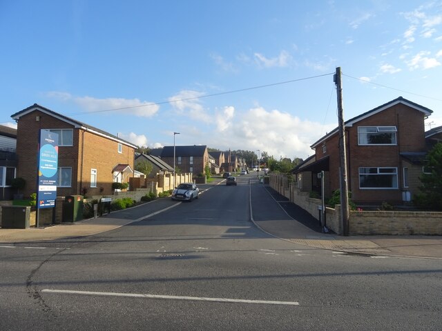
Hollin Bank is a small village located in the county of Lancashire, England. Situated within the borough of Pendle, it is nestled in the beautiful countryside of the Ribble Valley, offering residents and visitors stunning views and a peaceful atmosphere.
The village is known for its quaint charm and close-knit community. It has a population of around 500 residents, who enjoy a range of amenities and services within the village itself and in the nearby towns. The village is served by a local primary school, providing education to the younger members of the community.
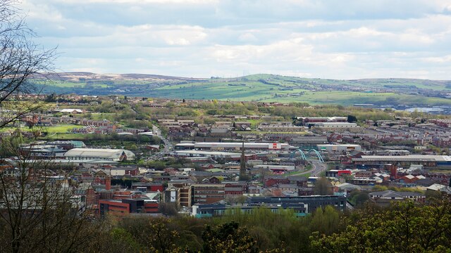
Hollin Bank is surrounded by picturesque landscapes, with rolling hills and lush green fields. It is a popular destination for outdoor enthusiasts, offering a range of walking and cycling routes that showcase the area's natural beauty. The village is also close to the Forest of Bowland, an Area of Outstanding Natural Beauty, which further enhances the appeal of the location.
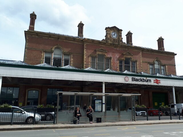
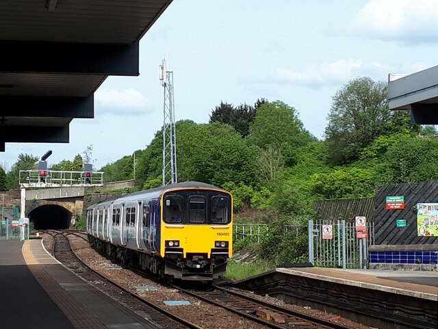
Despite its rural setting, Hollin Bank benefits from good transport links to nearby towns. The village is easily accessible by road, with the A59 passing close by, connecting it to Clitheroe and Skipton. Additionally, the nearby town of Colne provides access to the national rail network, allowing residents to travel further afield.
In summary, Hollin Bank offers a tranquil and idyllic setting in the heart of Lancashire's countryside. With its close community, stunning scenery, and convenient location, it is a place that attracts those seeking a peaceful lifestyle away from the hustle and bustle of larger towns and cities.
If you have any feedback on the listing, please let us know in the comments section below.
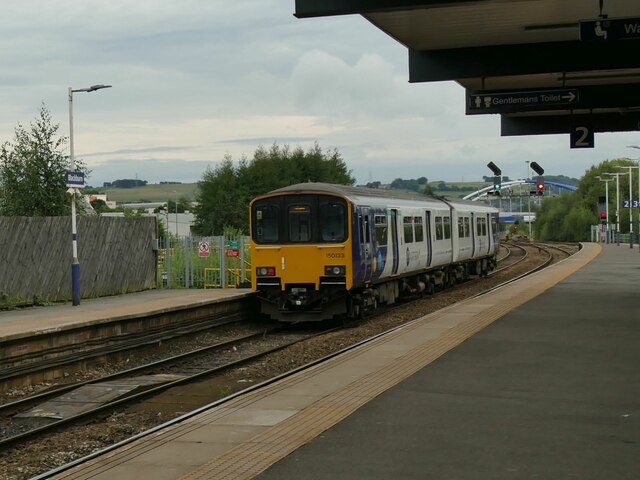
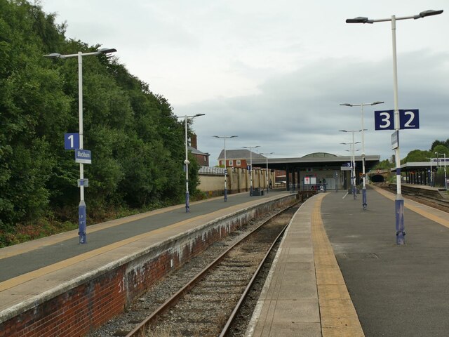
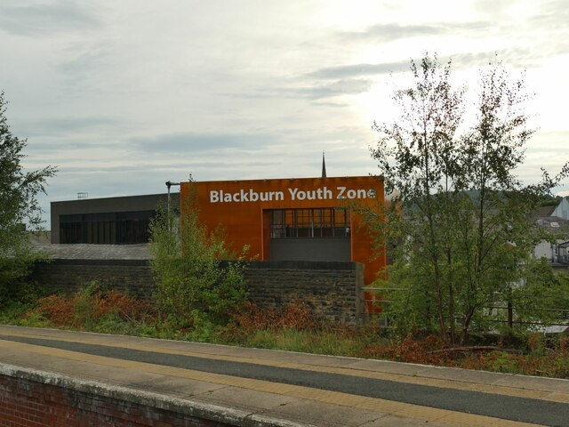
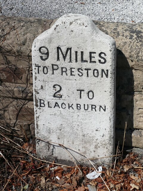
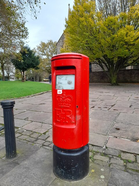
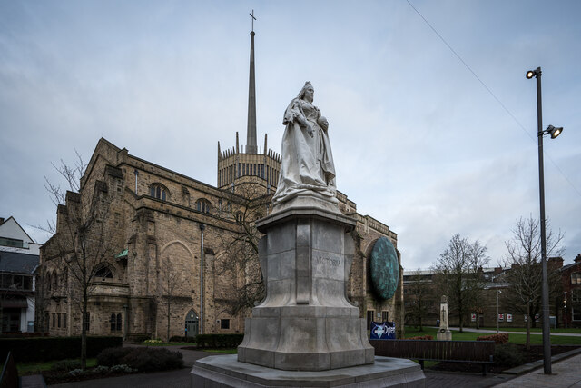
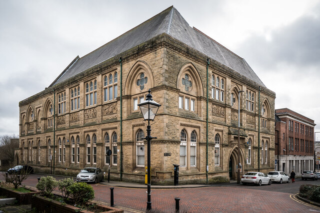
Hollin Bank Images
Images are sourced within 2km of 53.735919/-2.494252 or Grid Reference SD6726. Thanks to Geograph Open Source API. All images are credited.


Hollin Bank is located at Grid Ref: SD6726 (Lat: 53.735919, Lng: -2.494252)
Unitary Authority: Blackburn with Darwen
Police Authority: Lancashire
What 3 Words
///much.blank.maple. Near Blackburn, Lancashire
Nearby Locations
Related Wikis

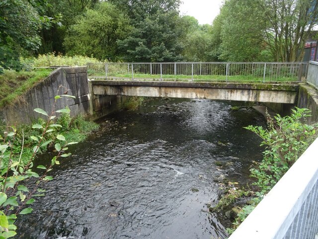
Ewood Aqueduct
Ewood Aqueduct is a high embankment carrying the Leeds and Liverpool Canal over the River Darwen and the B6447 road near Blackburn, Lancashire, England...

Blackburn Royal Infirmary
The Blackburn Royal Infirmary was an acute District General Hospital in Blackburn, Lancashire. It was managed by East Lancashire Hospitals NHS Trust....

Mill Hill railway station (Lancashire)
Mill Hill railway station serves Mill Hill in the Blackburn with Darwen borough in Lancashire, England. It is 1+1⁄4 miles (2.0 km) west of Blackburn railway...

St Wilfrid's Church of England Academy
St Wilfrid's Church of England Academy (formerly St Wilfrid's Church of England High School) is a mixed secondary school and sixth form located in Blackburn...
Nearby Amenities
Located within 500m of 53.735919,-2.494252Have you been to Hollin Bank?
Leave your review of Hollin Bank below (or comments, questions and feedback).