Holdenhurst
Settlement in Hampshire
England
Holdenhurst

The requested URL returned error: 429 Too Many Requests
If you have any feedback on the listing, please let us know in the comments section below.
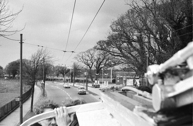
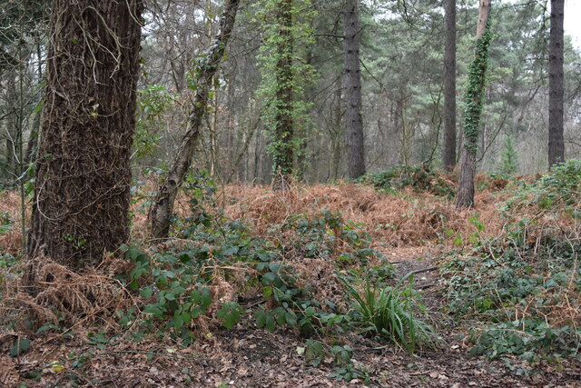
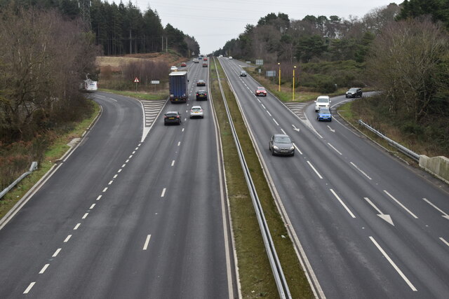
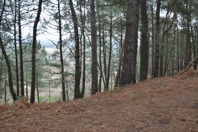
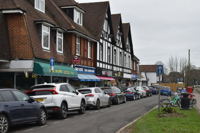
Holdenhurst Images
Images are sourced within 2km of 50.7562/-1.819 or Grid Reference SZ1295. Thanks to Geograph Open Source API. All images are credited.


Holdenhurst is located at Grid Ref: SZ1295 (Lat: 50.7562, Lng: -1.819)
Unitary Authority: Bournemouth, Christchurch and Poole
Police Authority: Dorset
What 3 Words
///bunny.cable.wildfires. Near Christchurch, Dorset
Nearby Locations
Related Wikis

Holdenhurst
Holdenhurst is a small isolated village situated in the green belt land of the north-east suburbs of Bournemouth, England. The village comprises fewer...

Moors River
The Moors River is a river in east Dorset, England, which starts at the point where the River Crane and the Ebblake Stream meet, at Ebblake, south of Verwood...

Bournemouth Combined Court Centre
The Bournemouth Combined Court Centre, also known as Bournemouth Courts of Justice, is a Crown Court venue, which deals with criminal cases, as well as...
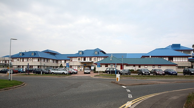
Royal Bournemouth Hospital
The Royal Bournemouth Hospital is an acute general hospital in Bournemouth, Dorset, England. It is managed by the University Hospitals Dorset NHS Foundation...
Nearby Amenities
Located within 500m of 50.7562,-1.819Have you been to Holdenhurst?
Leave your review of Holdenhurst below (or comments, questions and feedback).