Holden Vale
Settlement in Lancashire Rossendale
England
Holden Vale
The requested URL returned error: 429 Too Many Requests
If you have any feedback on the listing, please let us know in the comments section below.
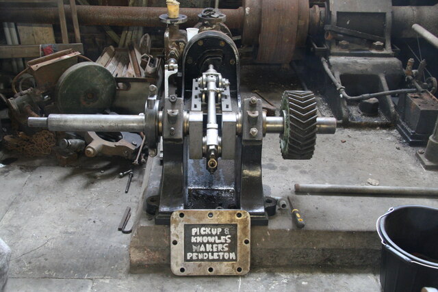
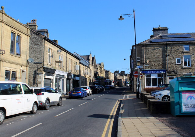
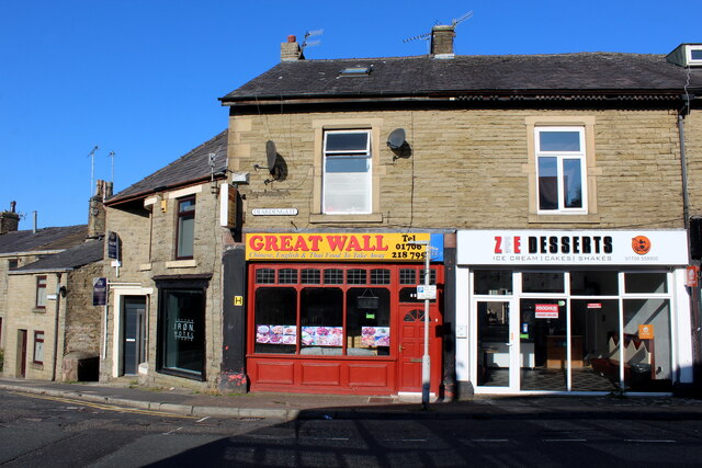
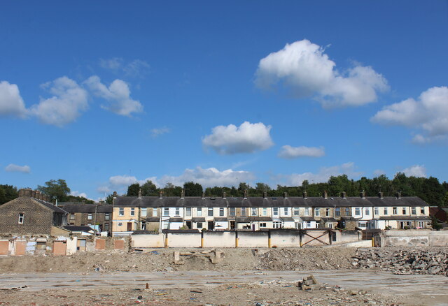
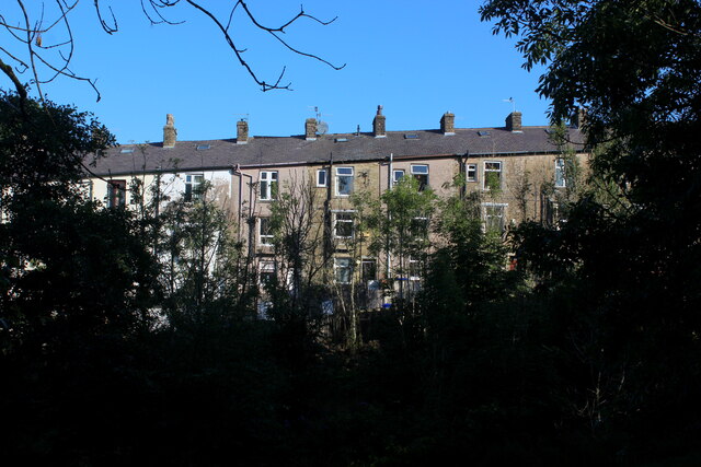
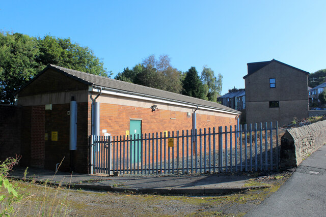
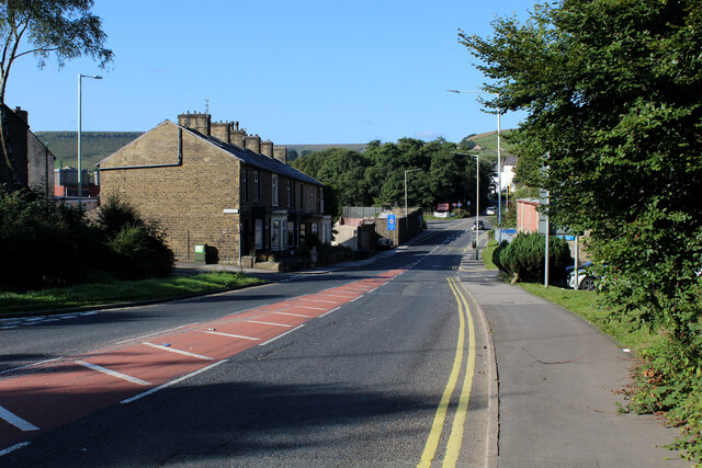
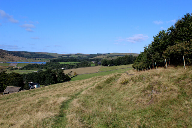
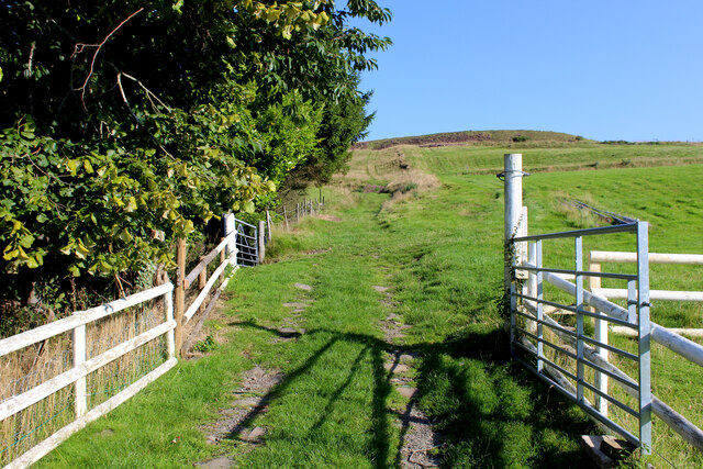
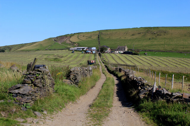
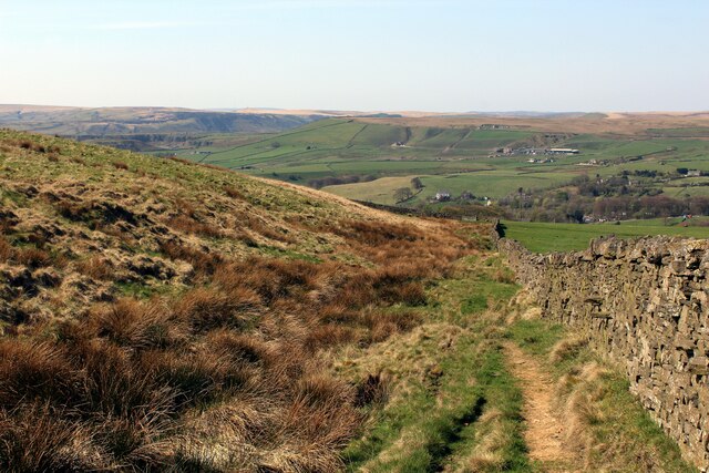
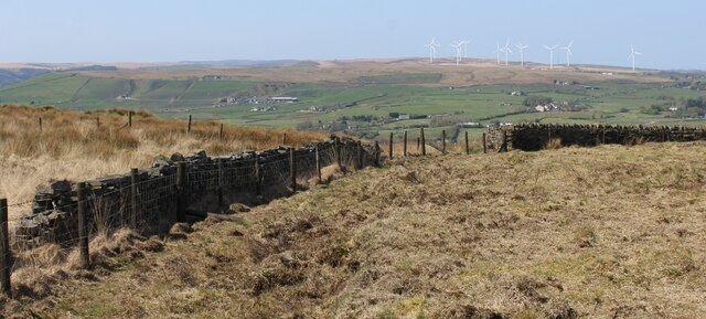
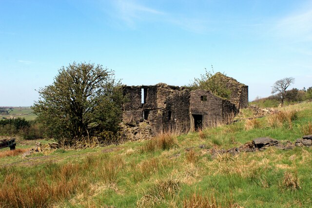
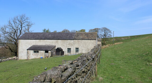
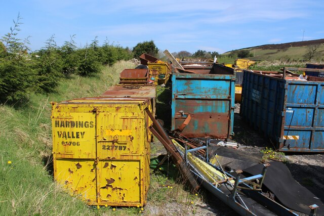
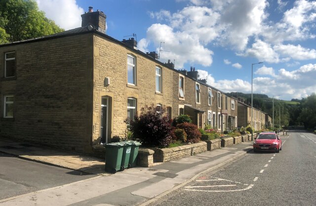
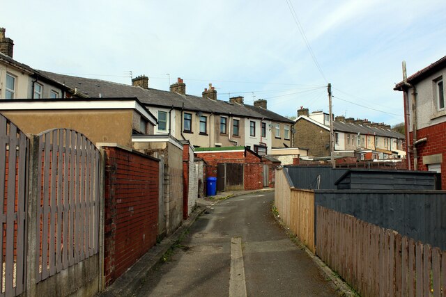
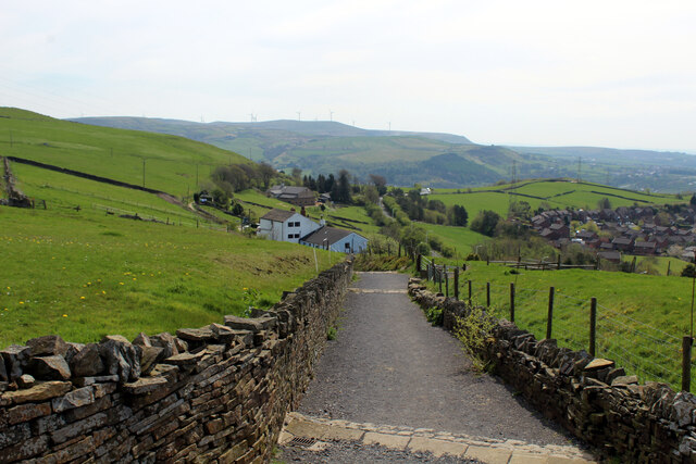
Holden Vale Images
Images are sourced within 2km of 53.711313/-2.3217457 or Grid Reference SD7823. Thanks to Geograph Open Source API. All images are credited.
Holden Vale is located at Grid Ref: SD7823 (Lat: 53.711313, Lng: -2.3217457)
Administrative County: Lancashire
District: Rossendale
Police Authority: Lancashire
What 3 Words
///length.sandbags.bridge. Near Haslingden, Lancashire
Nearby Locations
Related Wikis

Haslingden railway station
Haslingden railway station served the town of Haslingden, Rossendale, Lancashire. The station was built by the East Lancashire Railway (ELR) on their Bury...
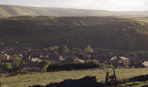
Haslingden
Haslingden is a town in Rossendale, Lancashire, England. It is 16 miles (26 km) north of Manchester. The name means 'valley of the hazels' or 'valley...

Acre, Lancashire
Acre is a Victorian village situated along the A56 Blackburn Road between the village of Rising Bridge and the town of Haslingden in Rossendale Lancashire...
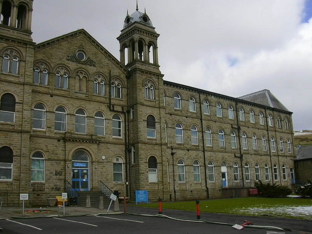
Rossendale General Hospital
Rossendale General Hospital was an acute general hospital at Rawtenstall in Lancashire. It was managed by the East Lancashire Hospitals NHS Trust. ��2...
Nearby Amenities
Located within 500m of 53.711313,-2.3217457Have you been to Holden Vale?
Leave your review of Holden Vale below (or comments, questions and feedback).