Hogden Bottom
Settlement in Surrey Reigate and Banstead
England
Hogden Bottom

Hogden Bottom is a small village located in the county of Surrey, England. Situated in the southern part of the county, it is nestled within the stunning Surrey Hills Area of Outstanding Natural Beauty. The village is surrounded by rolling hills, lush green countryside, and picturesque woodlands, making it a popular destination for nature enthusiasts and hikers.
With a population of around 500 residents, Hogden Bottom retains a charming and close-knit community atmosphere. It is home to a mix of residential properties, ranging from quaint cottages to more modern houses. The village features a small local pub, The Hog's Head, which serves as a gathering place for locals and visitors alike.
The village benefits from its proximity to nearby towns and amenities. The market town of Dorking is just a short drive away, offering a range of shops, restaurants, and services. The larger city of Guildford is also within easy reach, providing further options for shopping and entertainment.
Hogden Bottom is known for its abundance of outdoor activities. The surrounding countryside offers numerous walking and cycling trails, providing opportunities to explore the stunning natural landscapes. The village is also located near several equestrian centers, making it a popular choice for horse enthusiasts.
Overall, Hogden Bottom offers a tranquil and scenic setting, with its beautiful countryside, friendly community, and access to nearby amenities making it an attractive place to live or visit.
If you have any feedback on the listing, please let us know in the comments section below.
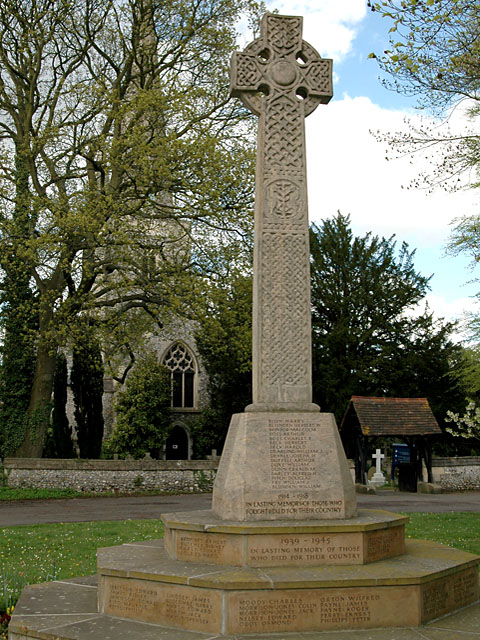
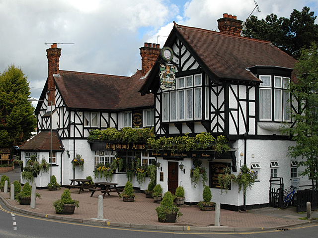
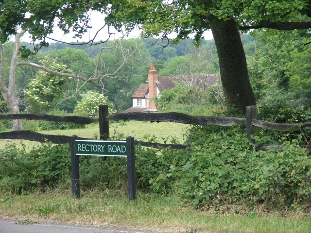
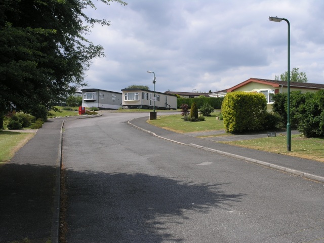
Hogden Bottom Images
Images are sourced within 2km of 51.280161/-0.20989187 or Grid Reference TQ2454. Thanks to Geograph Open Source API. All images are credited.


Hogden Bottom is located at Grid Ref: TQ2454 (Lat: 51.280161, Lng: -0.20989187)
Administrative County: Surrey
District: Reigate and Banstead
Police Authority: Surrey
What 3 Words
///skill.corn.loyal. Near Lower Kingswood, Surrey
Nearby Locations
Related Wikis

New Mill, Tadworth
New Mill is a grade II listed post mill at Tadworth, Surrey, England which is on the Buildings at Risk Register. == History == It is not known when New...

Kingswood, Surrey
Kingswood or Kingswood with Burgh Heath is a residential area on the North Downs in the Borough of Reigate and Banstead in Surrey, England. Part of the...

Lower Kingswood
Lower Kingswood is a village located in Surrey, just within the M25 motorway. It is between Kingswood and Reigate, and is bisected by the A217 dual carriageway...

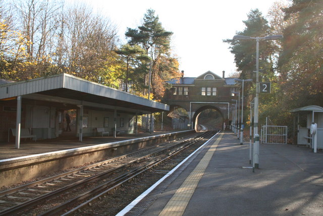
Kingswood railway station
Kingswood railway station serves Kingswood in the county of Surrey. It is a late-Victorian station on the Tattenham Corner Line, 20 miles 72 chains (33...

Chinthurst School
Chinthurst School is an independent co-educational nursery, pre-preparatory and preparatory school in semi-rural surroundings in the village of Tadworth...

Margery
Margery is a heavily buffered, lightly populated hamlet in the Reigate and Banstead district in the English county of Surrey. It sits on the North Downs...
Tadworth railway station
Tadworth railway station is a passenger railway station serving the large suburban village of Tadworth in Surrey, England, on the North Downs. It is 22...
Mogador, Surrey
Mogador is a hamlet in the Reigate and Banstead district, in the English county of Surrey. It is at the edge of Banstead Heath, which provides it a green...
Nearby Amenities
Located within 500m of 51.280161,-0.20989187Have you been to Hogden Bottom?
Leave your review of Hogden Bottom below (or comments, questions and feedback).