Hilton of Cadboll

Settlement in Ross-shire

Scotland

Hilton of Cadboll

Greylag geese feeding near Cadboll
Greylag geese feeding near Cadboll Credit: sylvia duckworth

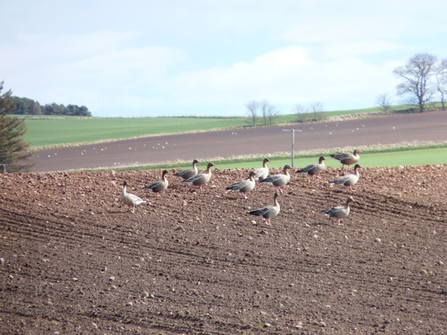
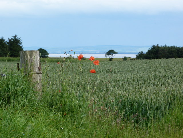
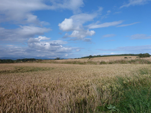
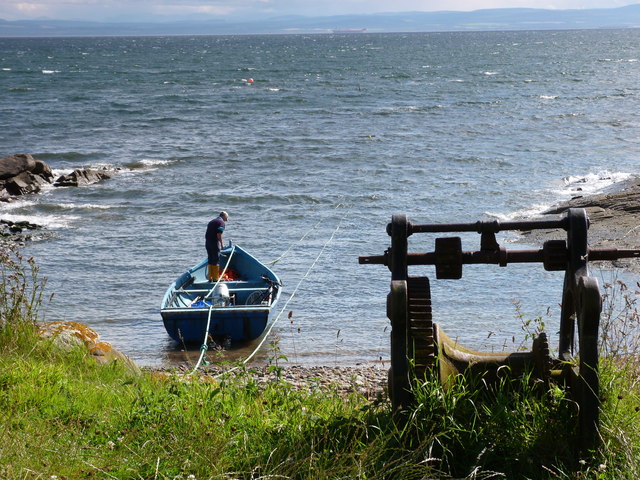
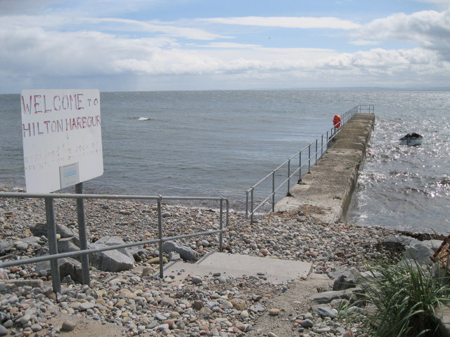
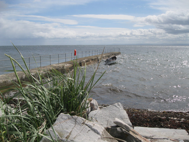
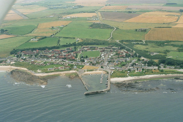
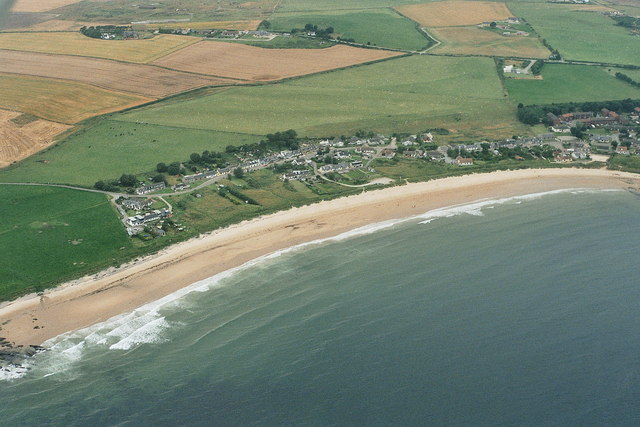
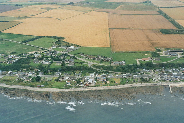
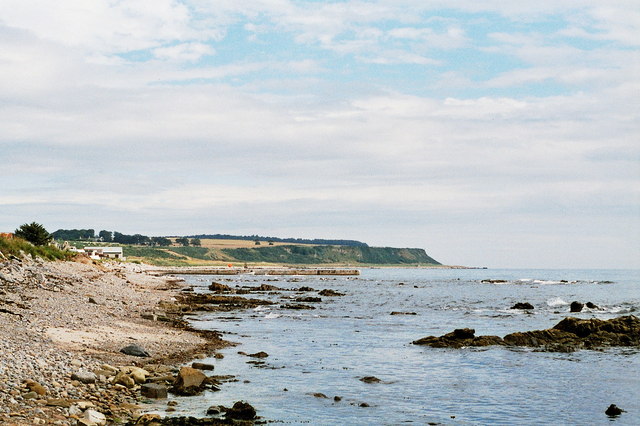
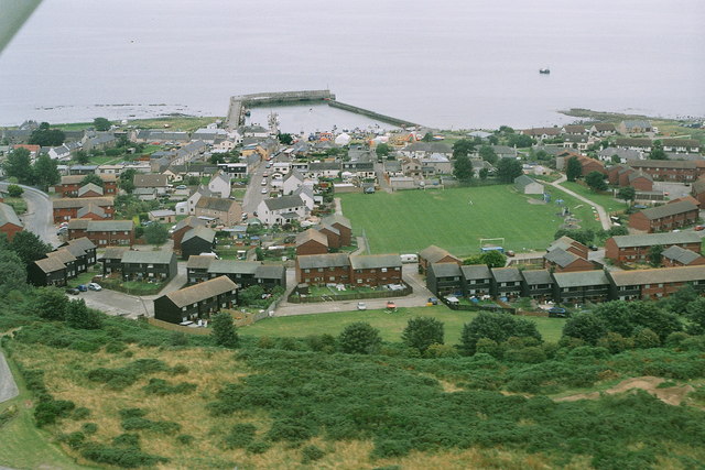
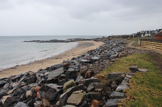
Hilton of Cadboll is a small village located in the county of Ross-shire, Scotland. Situated on the east coast of the country, it lies approximately 10 miles northeast of the town of Tain. The village is known for its picturesque setting, nestled between rolling hills and the stunning coastline of the Moray Firth.

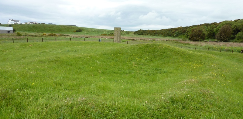
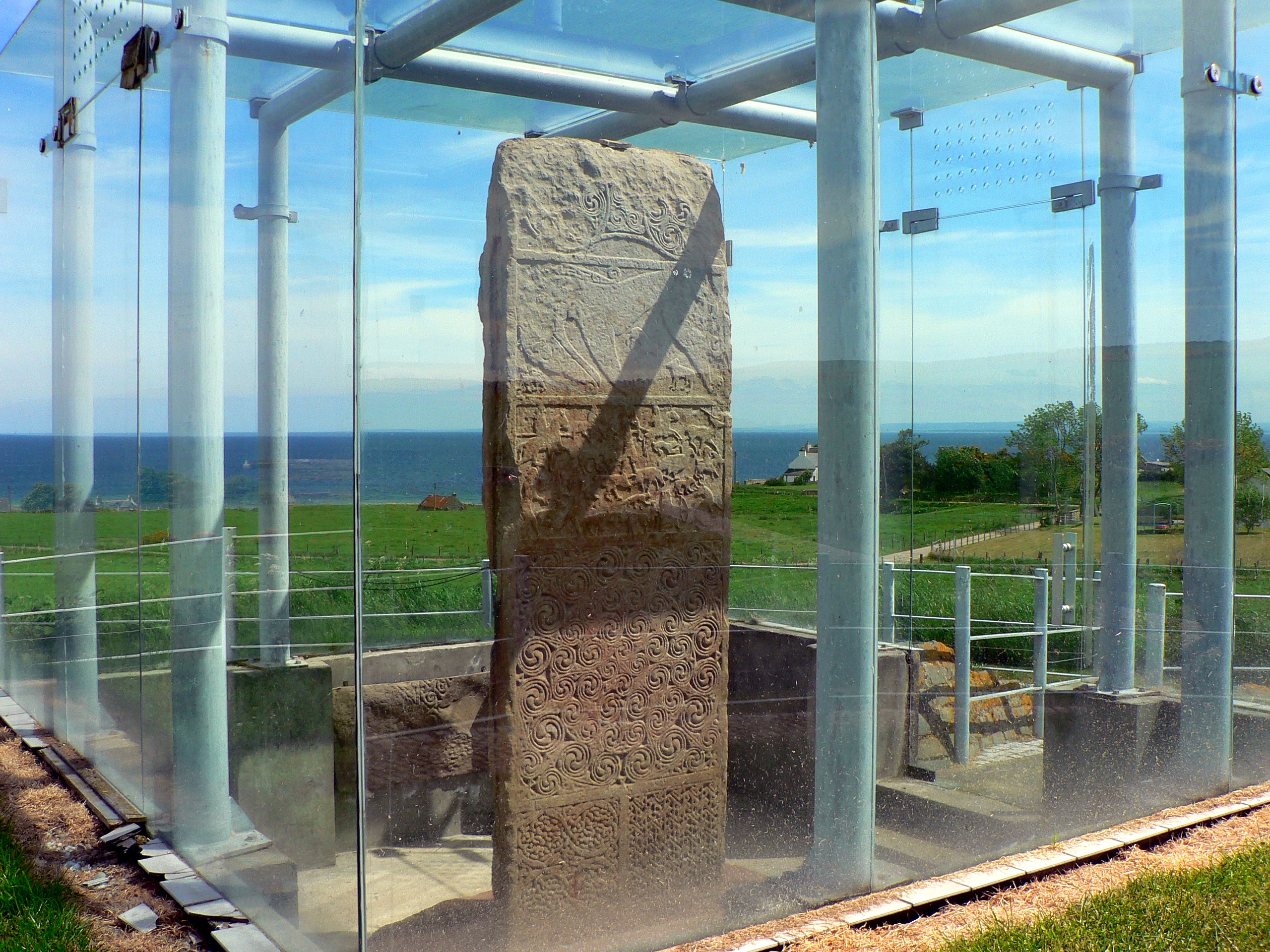
One of the notable features of Hilton of Cadboll is the Hilton of Cadboll Pictish stone, an ancient artifact of great historical significance. The stone, which stands at over 2.5 meters tall, is intricately carved with Pictish symbols and dates back to the 8th century. It is now housed in the National Museum of Scotland in Edinburgh, with a replica standing in its original location.

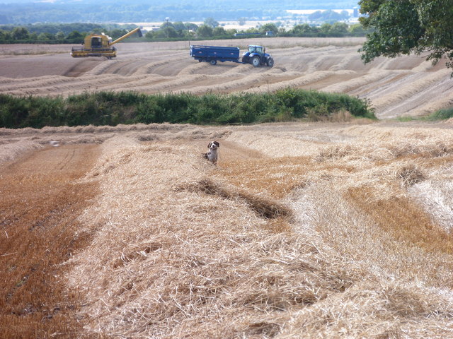
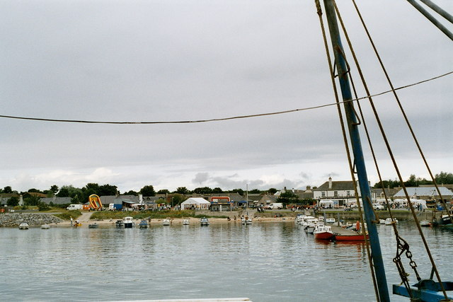
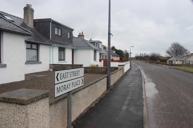
The village itself is small but charming, with a mix of traditional stone cottages and newer houses. It offers a peaceful and tranquil environment, ideal for those seeking a quiet retreat or a coastal getaway. The surrounding area provides ample opportunities for outdoor activities such as hiking, cycling, and birdwatching.

Despite its small size, Hilton of Cadboll benefits from a close-knit community and has a village hall that serves as a hub for social gatherings and events. It is also within close proximity to other towns and villages, offering access to essential amenities and services.

In conclusion, Hilton of Cadboll is a quaint village in Ross-shire, Scotland, renowned for its historical Pictish stone and scenic coastal location. With its peaceful atmosphere and natural beauty, it is a hidden gem for visitors looking to explore the Scottish countryside.

If you have any feedback on the listing, please let us know in the comments section below.

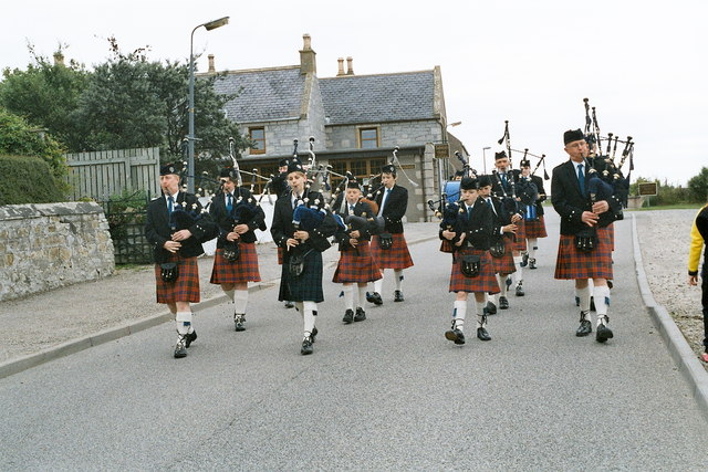
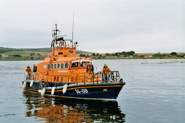
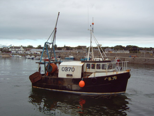
Hilton of Cadboll Images

Images are sourced within 2km of 57.762521/-3.8983482 or Grid Reference NH8776. Thanks to Geograph Open Source API. All images are credited.

Greylag geese feeding near Cadboll
Summer field at Cadboll
Golden grains near Cadboll
Fisherman at Cadboll Point
Dog and harvesters at Cadboll
Delusions of grandeur? Hardly a harbour; more a jetty or breakwater. The sign reads, in full, 'Welcome to Hilton Harbour. Restored in 2004 by the Hilton Parliament', as can be seen <a href="https://www.geograph.org.uk/photo/353687">NH8776 : The Hilton Parliament?</a>.
Delusions of grandeur?
Hardly a harbour; more a jetty or breakwater. The sign reads, in full, 'Welcome to Hilton Harbour. Restored in 2004 by the Hilton Parliament', as can be seen NH8776 : The Hilton Parliament?.
Hilton Harbour A narrow jetty offers minimal protection for a single boat.
Hilton Harbour
A narrow jetty offers minimal protection for a single boat.
Balintore 2007, aerial Fearn (disused) airfield is top left.
Balintore 2007, aerial
Fearn (disused) airfield is top left.
Shandwick 2007, aerial
Hilton of Cadbol 2007, aerial
Cadboll Pier, 2007 Thanks to Bob Jones and his photo <a href="https://www.geograph.org.uk/photo/2567820">NH8776 : Delusions of grandeur?</a>:
"Hardly a harbour; more a jetty or breakwater. The sign reads, in full, 'Welcome to Hilton Harbour. Restored in 2004 by the Hilton Parliament', as can be seen <a href="https://www.geograph.org.uk/photo/353687">NH8776 : The Hilton Parliament?</a> : The Hilton Parliament?."
Cadboll Pier, 2007
Thanks to Bob Jones and his photo NH8776 : Delusions of grandeur?: "Hardly a harbour; more a jetty or breakwater. The sign reads, in full, 'Welcome to Hilton Harbour. Restored in 2004 by the Hilton Parliament', as can be seen NH8776 : The Hilton Parliament? : The Hilton Parliament?."
Balintore harbour 2007 Fun day at Balintore.
Balintore harbour 2007
Fun day at Balintore.
Balintore gala 2007: pipers
Balintore 2007: lifeboat arrives for the gala
Balintore and the Swedish Houses 2007, aerial The wooden (eco?) houses in the foreground were referred to as the Swedish houses.
Balintore and the Swedish Houses 2007, aerial
The wooden (eco?) houses in the foreground were referred to as the Swedish houses.
Balintore harbour 2007
The beach at Hilton of Cadboll
Moray Place, Balintore North end of the village
Moray Place, Balintore
North end of the village
Show me another place!

Hilton of Cadboll is located at Grid Ref: NH8776 (Lat: 57.762521, Lng: -3.8983482)

Unitary Authority: Highland

Police Authority: Highlands and Islands

What 3 Words

///emphasis.examiner.recruiter. Near Balintore, Highland

Nearby Locations

Hilton of Cadboll

Related Wikis

Hilton of Cadboll

Hilton of Cadboll, or simply Hilton, (Scottish Gaelic: Baile a' Chnuic) is a village about 15 km (9 mi) southeast of Tain in Easter Ross, in the Scottish...

Hilton of Cadboll Stone

The Hilton of Cadboll Stone is a Class II Pictish stone discovered at Hilton of Cadboll, on the East coast of the Tarbat Peninsula in Easter Ross, Scotland...

Hilton of Cadboll Chapel

The Hilton of Cadboll Chapel is the remains of a medieval chapel dedicated to the Virgin Mary. The chapel is located in Hilton of Cadboll, a village in...

Seaboard Villages

The Seaboard Villages (Scottish Gaelic: Na Trì Port Mara) are three contiguous coastal villages, situated about 10 km southeast of the town of Tain in...

Balintore, Easter Ross

Balintore (from the Scottish Gaelic: Baile an Todhair meaning "The Bleaching Town") is a village near Tain in Easter Ross, Scotland. It is one of three...

Shandwick

Shandwick (Scottish Gaelic: Seannduaig), a village near Tain in Easter Ross, and is in the Scottish council area of Highland, Scotland. Hilton, Balintore...

Clach a' Charridh

The Clach a' Charridh or Shandwick Stone is a Class II Pictish stone located near Shandwick on the Tarbat peninsula in Easter Ross, Scotland. It is a scheduled...

RNAS Fearn (HMS Owl)

Royal Naval Air Station Fearn (RNAS Fearn; or HMS Owl) is a former Royal Navy Fleet Air Arm airbase, located 5.4 miles (8.7 km) southeast of Tain, Scottish...

Nearby Amenities

Located within 500m of 57.762521,-3.8983482
Source: PGS
Lat/Long: 57.7622171/-3.8977278
Source: PGS
Lat/Long: 57.7624787/-3.8973609
Source: PGS
Lat/Long: 57.7626315/-3.8970987
Source: PGS
Lat/Long: 57.7630716/-3.896594
Source: PGS
Lat/Long: 57.7638554/-3.8959867
Source: PGS
Lat/Long: 57.7646911/-3.8954849
Source: PGS
Lat/Long: 57.765557/-3.8951339
Source: PGS
Lat/Long: 57.7658681/-3.8948127
Source: PGS
Lat/Long: 57.7660649/-3.8945806
Source: PGS
Lat/Long: 57.7661725/-3.8942948
Source: PGS
Lat/Long: 57.7662734/-3.8941076
Bus Stop
Bottom of Brae
Naptan AtcoCode: 6700713102A
Naptan Bearing: SW
Naptan CommonName: Bottom of Brae
Naptan Indicator: at Bus Shelter
Naptan Landmark: Harbour
Naptan NaptanCode: 45323674
Naptan Street: Lower Road
Naptan Verified: no
Source: naptan_import
Lat/Long: 57.7622691/-3.8980657
Bus Stop
Bottom of Brae
Naptan AtcoCode: 6700713102B
Naptan Bearing: NE
Naptan CommonName: Bottom of Brae
Naptan Indicator: opp Bus Shelter
Naptan Landmark: Harbour
Naptan NaptanCode: 45323673
Naptan Street: Lower Road
Naptan Verified: no
Source: naptan_import
Lat/Long: 57.7623176/-3.8984213
Bus Stop
School
Naptan AtcoCode: 6700713102C
Naptan Bearing: E
Naptan CommonName: School
Naptan Indicator: o/s
Naptan Landmark: Cowan Bank Place
Naptan NaptanCode: 45323672
Naptan Street: Top Road
Naptan Verified: no
Source: naptan_import
Lat/Long: 57.7614628/-3.9033018
Bus Stop
School
Naptan AtcoCode: 6700713102D
Naptan Bearing: W
Naptan CommonName: School
Naptan Indicator: opp
Naptan Landmark: Cowan Bank Place
Naptan NaptanCode: 45323586
Naptan Street: Top Road
Naptan Verified: no
Source: naptan_import
Lat/Long: 57.7612765/-3.9031408
Hilton of Cadboll
Alt Name: Hilton
Name Gd: Baile a' Chnuic
Place: village
Wikidata: Q2427020
Wikipedia: en:Hilton of Cadboll
Lat/Long: 57.762534/-3.8986842
Restaurant
Lat/Long: 57.7591422/-3.9035294
Power: pole
Lat/Long: 57.7621028/-3.9067195
Power: pole
Lat/Long: 57.7628464/-3.9067479
Power: pole
Lat/Long: 57.7609472/-3.9055324
The data included in this document is from www.openstreetmap.org. The data is made available under ODbL.

Have you been to Hilton of Cadboll?

Leave your review of Hilton of Cadboll below (or comments, questions and feedback).