Hillsdale

Settlement in Staffordshire Staffordshire Moorlands

England

Hillsdale

Brookside Stables
Brookside Stables Credit: Alex McGregor

Hillsdale is a small village located in the Staffordshire Moorlands district of Staffordshire, England. Situated in the West Midlands region, it is nestled amidst the picturesque countryside of the Peak District National Park, making it a popular destination for nature enthusiasts and tourists alike. The village is situated approximately 5 miles northeast of the town of Leek and about 10 miles southeast of Buxton.

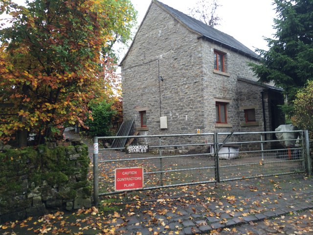
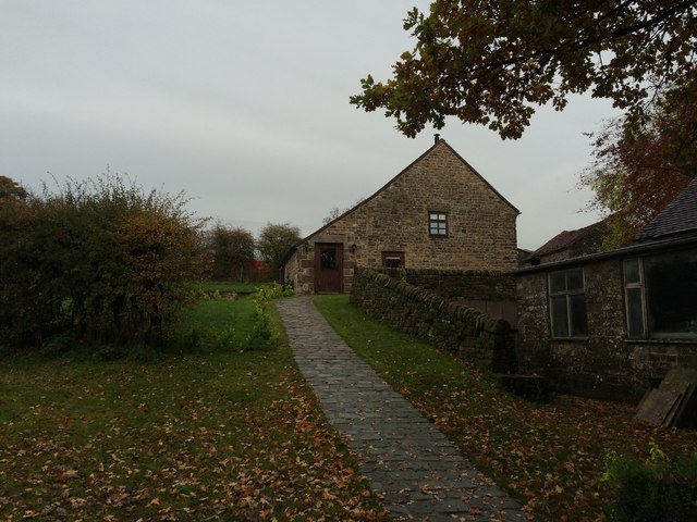
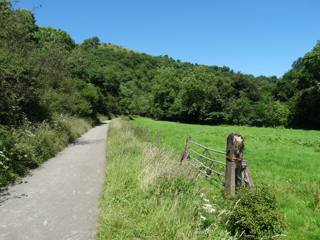
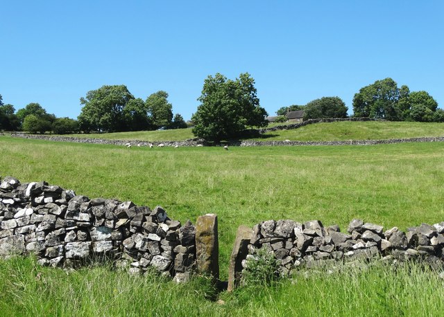
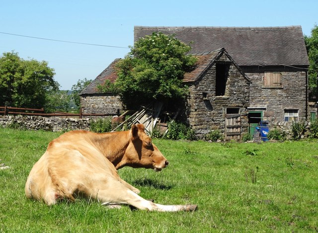
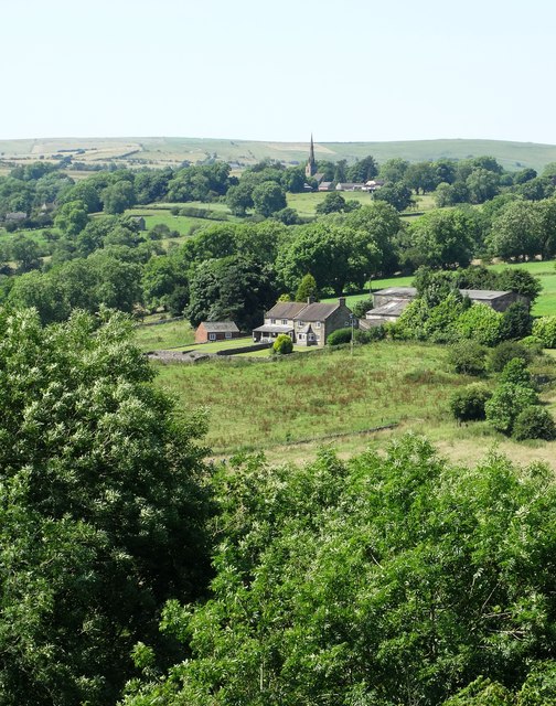
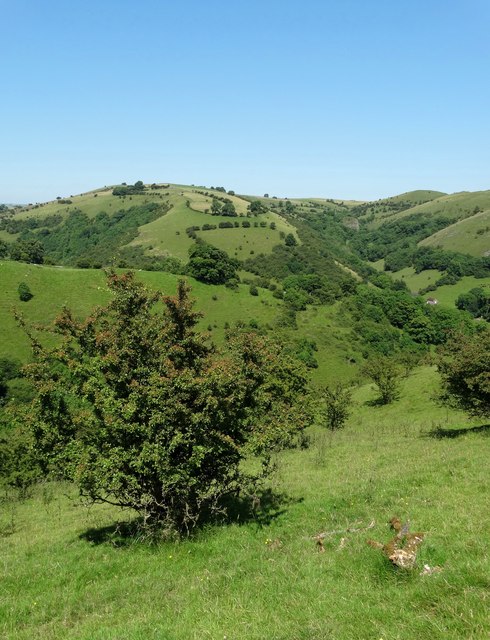
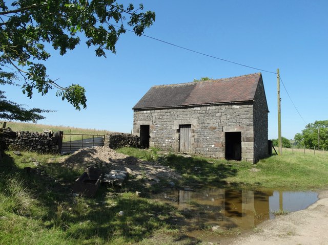
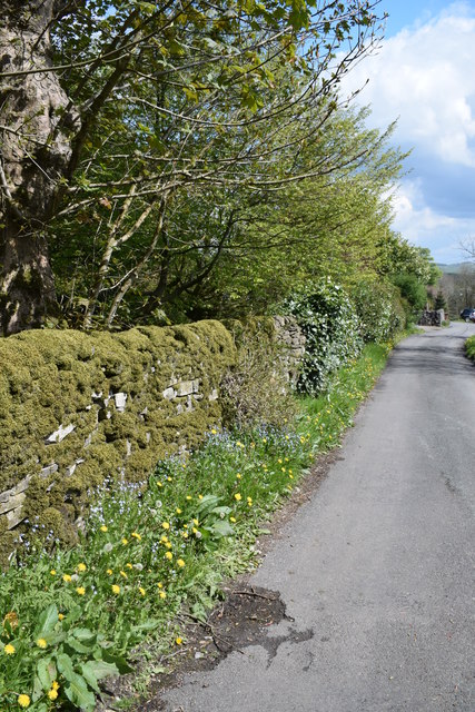
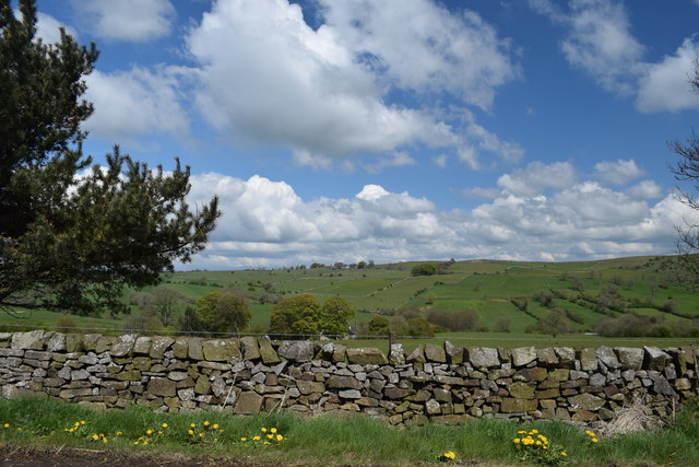
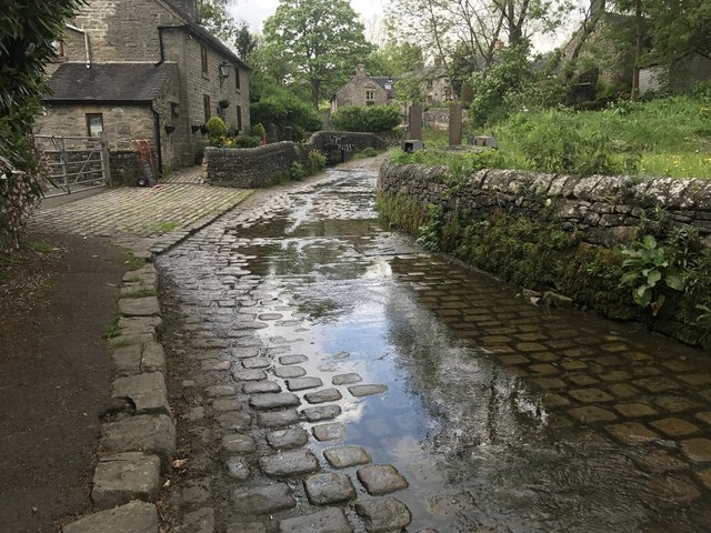
Hillsdale is known for its charming rural setting, with rolling green hills, meandering streams, and quaint stone cottages. The village is characterized by a close-knit community and a peaceful atmosphere, making it an ideal retreat for those seeking respite from the hustle and bustle of city life.

Despite its small size, Hillsdale offers a range of amenities for its residents. These include a local primary school, a village hall, and a charming country pub. The nearby town of Leek provides additional services and amenities, including shops, supermarkets, and healthcare facilities.

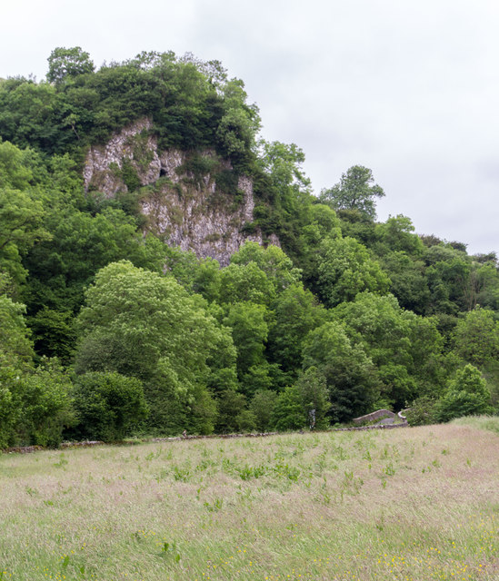
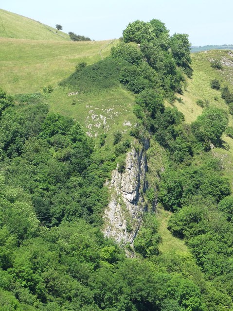
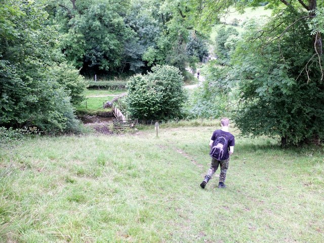
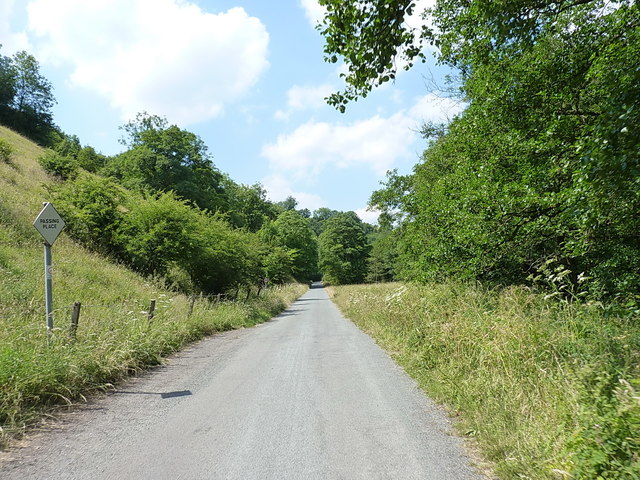
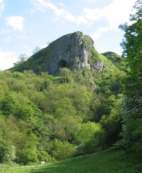
One of the highlights of Hillsdale is its proximity to a variety of outdoor recreational opportunities. The village is surrounded by beautiful walking trails and cycle paths, offering stunning views of the surrounding countryside. Additionally, the nearby Roaches, a prominent rocky outcrop, attracts climbers and hikers from all over the country.

In summary, Hillsdale is a quaint and picturesque village situated in the Staffordshire Moorlands. With its beautiful natural surroundings, friendly community, and easy access to outdoor activities, it is an idyllic location for those seeking a peaceful retreat in the heart of the English countryside.

If you have any feedback on the listing, please let us know in the comments section below.
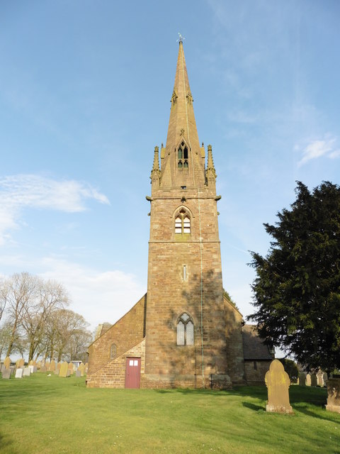
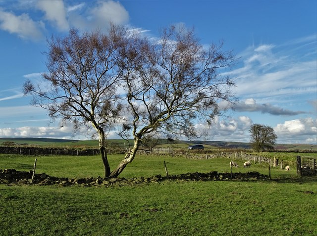
Hillsdale Images

Images are sourced within 2km of 53.094035/-1.887052 or Grid Reference SK0755. Thanks to Geograph Open Source API. All images are credited.

Brookside Stables
Brookside Stables
Holiday Let Property, Ford
Ossoms Crag Ossoms Crag above Dafar Bridge.
Ossoms Crag
Ossoms Crag above Dafar Bridge.
A view of Ossom's Crag Viewed from the path that leads from Wetton to Thor's Cave on the opposite side of The Manifold Valley.
A view of Ossom's Crag
Viewed from the path that leads from Wetton to Thor's Cave on the opposite side of The Manifold Valley.
The Manifold Way east of Grindon The Manifold Way follows the exact course of the old Leek and Manifold railway.
The Manifold Way east of Grindon
The Manifold Way follows the exact course of the old Leek and Manifold railway.
On the path to Buckfurlong Farm
Cow resting in Grindon On July 19th - the hottest day of the year.
Cow resting in Grindon
On July 19th - the hottest day of the year.
All Saints Church, Grindon
View to Broadmeadow and Butterton
Hawthorn tree above Foo Brook Looking towards Dale Farm and Sugarloaf.
Hawthorn tree above Foo Brook
Looking towards Dale Farm and Sugarloaf.
Old barn north of Grindon
Steep path down off Ossoms Hill to Hoo Brook
Lane in Grindon Looking west from near the rectory.
Lane in Grindon
Looking west from near the rectory.
View from Wooddisse Lane  Looking south east.
View from Wooddisse Lane
Looking south east.
Butterton Ford Another visit to the setted fords at Butterton. A video of the fords can be seen at:<span class="nowrap"><a title="https://youtu.be/JBR5LQss6Hc" rel="nofollow ugc noopener" href="https://youtu.be/JBR5LQss6Hc">Link</a><img style="margin-left:2px;" alt="External link" title="External link - shift click to open in new window" src="https://s1.geograph.org.uk/img/external.png" width="10" height="10"/></span>
and on a previous visit:<a title="https://www.geograph.org.uk/photo/2792811" href="https://www.geograph.org.uk/photo/2792811">Link</a>
Butterton Ford
Another visit to the setted fords at Butterton. A video of the fords can be seen at:LinkExternal link and on a previous visit:Link
On the narrow lane northwest of Wetton Mill 'Upgraded' from a section of the old railway line to a public road, but still rather narrow.
On the narrow lane northwest of Wetton Mill
'Upgraded' from a section of the old railway line to a public road, but still rather narrow.
Butterton, Staffordshire, St Bartholomew
Tree near Malbon House Farm
Show me another place!

Hillsdale is located at Grid Ref: SK0755 (Lat: 53.094035, Lng: -1.887052)

Administrative County: Staffordshire

District: Staffordshire Moorlands

Police Authority: Staffordshire

What 3 Words

///budding.initiated.decorated. Near Leek, Staffordshire

Nearby Locations

Hillsdale

Related Wikis

St Bartholomew's Church, Butterton

St Bartholomew's Church, Butterton is a Grade II listed parish church in the Church of England in Butterton. == History == St Bartholomew's Church was...

Grindon, Staffordshire

Grindon is a small village in the Staffordshire Peak District of England. == Geography == Grindon is situated near the southern end of the Peak District...

Butterton

Butterton is a small village in the Staffordshire Peak District of England (grid reference SK075565). It overlooks the Manifold Valley and Ecton Hill,...

Manifold Way

The Manifold Way is a footpath and cycle way in Staffordshire, England. Some 8 miles (13 km) in length, it runs from Hulme End (53.1307°N 1.8480°W / 53...

Nearby Amenities

Located within 500m of 53.094035,-1.887052
Barrier: stile
Material: wood
Source: survey;bing
Stile: stepover
Lat/Long: 53.0928673/-1.8804053
Barrier: stile
Material: wood
Source: survey;bing
Stile: stepover
Lat/Long: 53.0928851/-1.8804631
Barrier: stile
Material: wood
Source: survey;gps
Stile: stepover
Lat/Long: 53.0947091/-1.8834485
Barrier: stile
Lat/Long: 53.0952676/-1.885175
Telephone
Booth: K6
Covered: booth
Operator: BT
Phone: +44 1538 304211
Lat/Long: 53.0918882/-1.8913593
Hillsdale
Is In: Staffordshire Moorlands
Place: hamlet
Lat/Long: 53.0960459/-1.8843538
Fixme: which side of the fence is this
Lat/Long: 53.094981/-1.8939613
Barrier: stile
Material: wood
Source: survey;gps
Stile: stepover
Lat/Long: 53.0941458/-1.8821136
Barrier: stile
Material: stone
Source: survey;gps
Stile: squeezer
Lat/Long: 53.094999/-1.8848433
Barrier: stile
Material: stone
Source: survey;gps
Stile: stepover
Lat/Long: 53.0963964/-1.8827174
Barrier: stile
Material: wood
Source: survey;gps
Stile: stepover
Lat/Long: 53.0898205/-1.8862005
Barrier: stile
Material: stone
Source: survey;gps
Stile: stepover
Lat/Long: 53.0908374/-1.888242
Barrier: stile
Material: stone
Source: survey;gps
Stile: stepover
Lat/Long: 53.0914563/-1.8909295
Barrier: stile
Material: wood
Source: survey;gps
Stile: stepover
Lat/Long: 53.0915253/-1.8915971
Barrier: stile
Material: wood
Source: survey;gps
Stile: stepover
Lat/Long: 53.0915159/-1.8919552
Fixme: gate or stile?
Lat/Long: 53.0973604/-1.8919892
The data included in this document is from www.openstreetmap.org. The data is made available under ODbL.

Have you been to Hillsdale?

Leave your review of Hillsdale below (or comments, questions and feedback).