Hillbrae
Settlement in Aberdeenshire
Scotland
Hillbrae
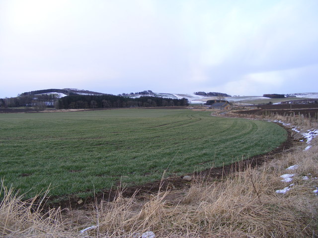
Hillbrae is a small village located in Aberdeenshire, Scotland. Situated in the picturesque countryside, it offers a tranquil and idyllic setting for residents and visitors alike. With a population of around 300, Hillbrae is a close-knit community that prides itself on its strong sense of community spirit.
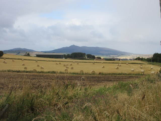
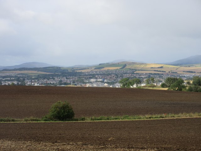
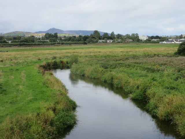
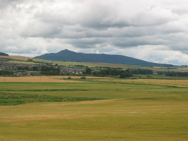
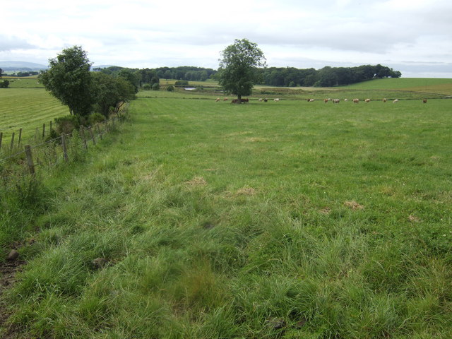
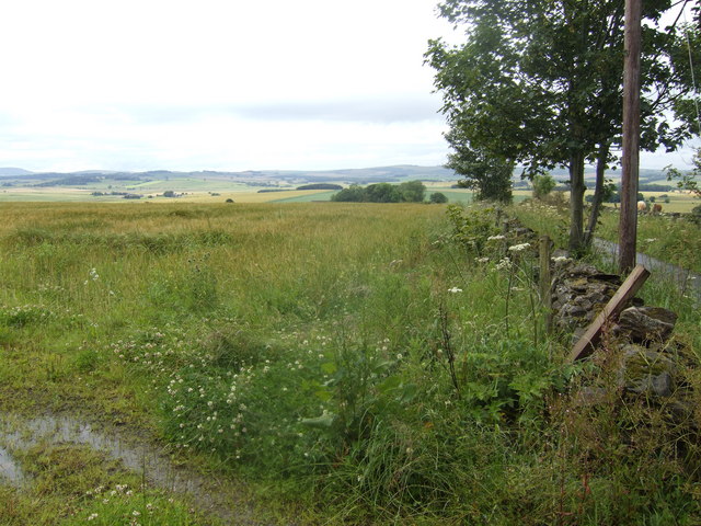
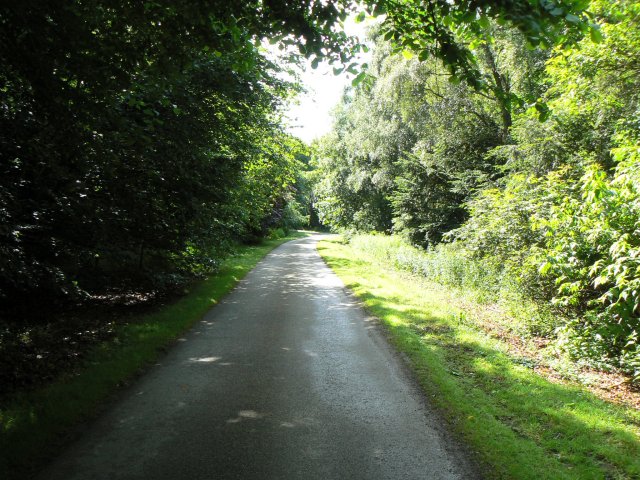
The village is surrounded by rolling hills and lush green fields, providing stunning views and ample opportunities for outdoor activities such as hiking, cycling, and horse riding. The nearby River Dee adds to the natural beauty of the area, attracting anglers and nature enthusiasts.
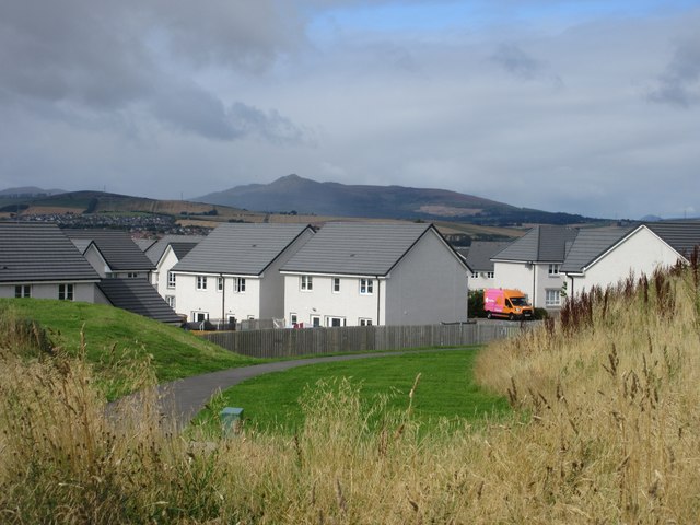
Despite its rural location, Hillbrae is well-connected to the nearby towns and cities. The village is just a short drive away from the bustling market town of Banchory, where residents can access a wide range of amenities including shops, schools, and healthcare facilities. The city of Aberdeen is also easily accessible, offering further employment and entertainment options.
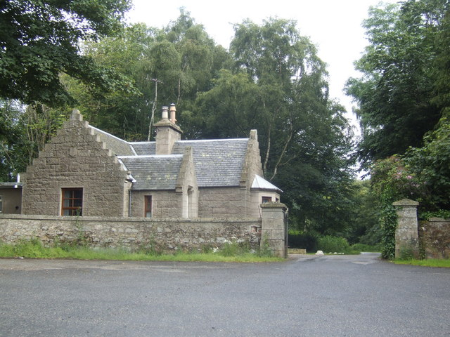
Hillbrae itself boasts a few local services, including a small convenience store, a village hall, and a primary school. The village hall serves as a hub for community events and social gatherings, fostering a strong sense of belonging among the residents.
Overall, Hillbrae offers a peaceful and scenic lifestyle, making it an attractive place to live for those seeking a rural retreat while still being within reach of larger towns and cities.
If you have any feedback on the listing, please let us know in the comments section below.
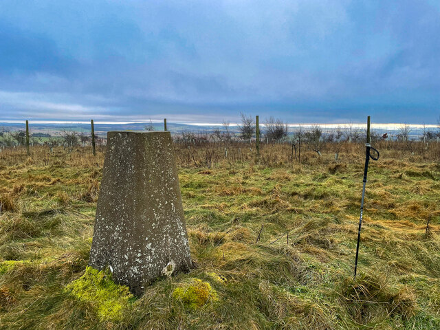
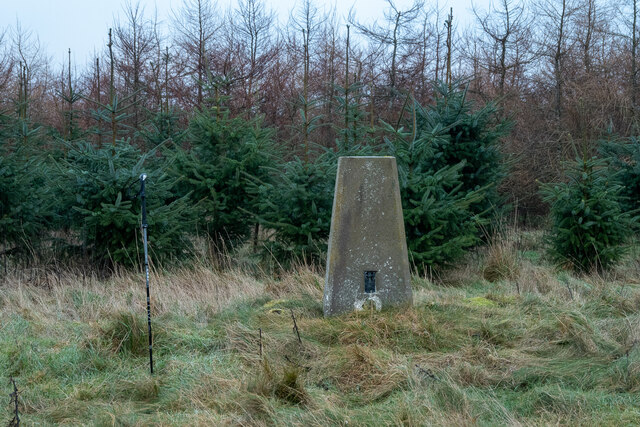
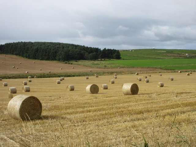
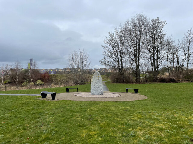
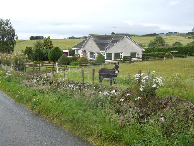
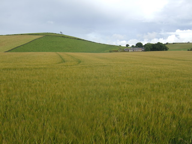
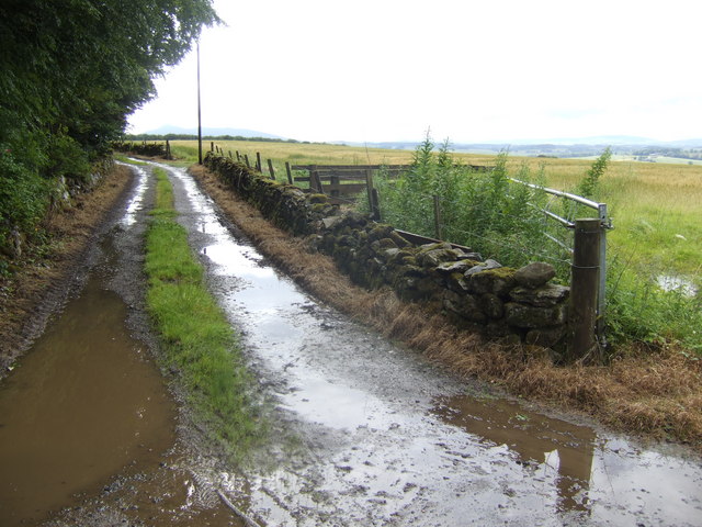
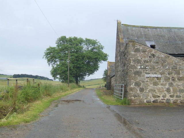
Hillbrae Images
Images are sourced within 2km of 57.302519/-2.3473035 or Grid Reference NJ7923. Thanks to Geograph Open Source API. All images are credited.
Hillbrae is located at Grid Ref: NJ7923 (Lat: 57.302519, Lng: -2.3473035)
Unitary Authority: Aberdeenshire
Police Authority: North East
What 3 Words
///soaps.salmon.hoaxes. Near Inverurie, Aberdeenshire
Nearby Locations
Related Wikis

Bourtie House
Bourtie House is a Category A listed country house in Bourtie, Aberdeenshire, Scotland. It dates to around 1754, and it received its historic designation...

Kirkton of Bourtie stone circle
Kirkton of Bourtie stone circle is a recumbent stone circle located in Aberdeenshire, Scotland. It is situated about 2+3⁄4 miles (4.4 km) to the northeast...
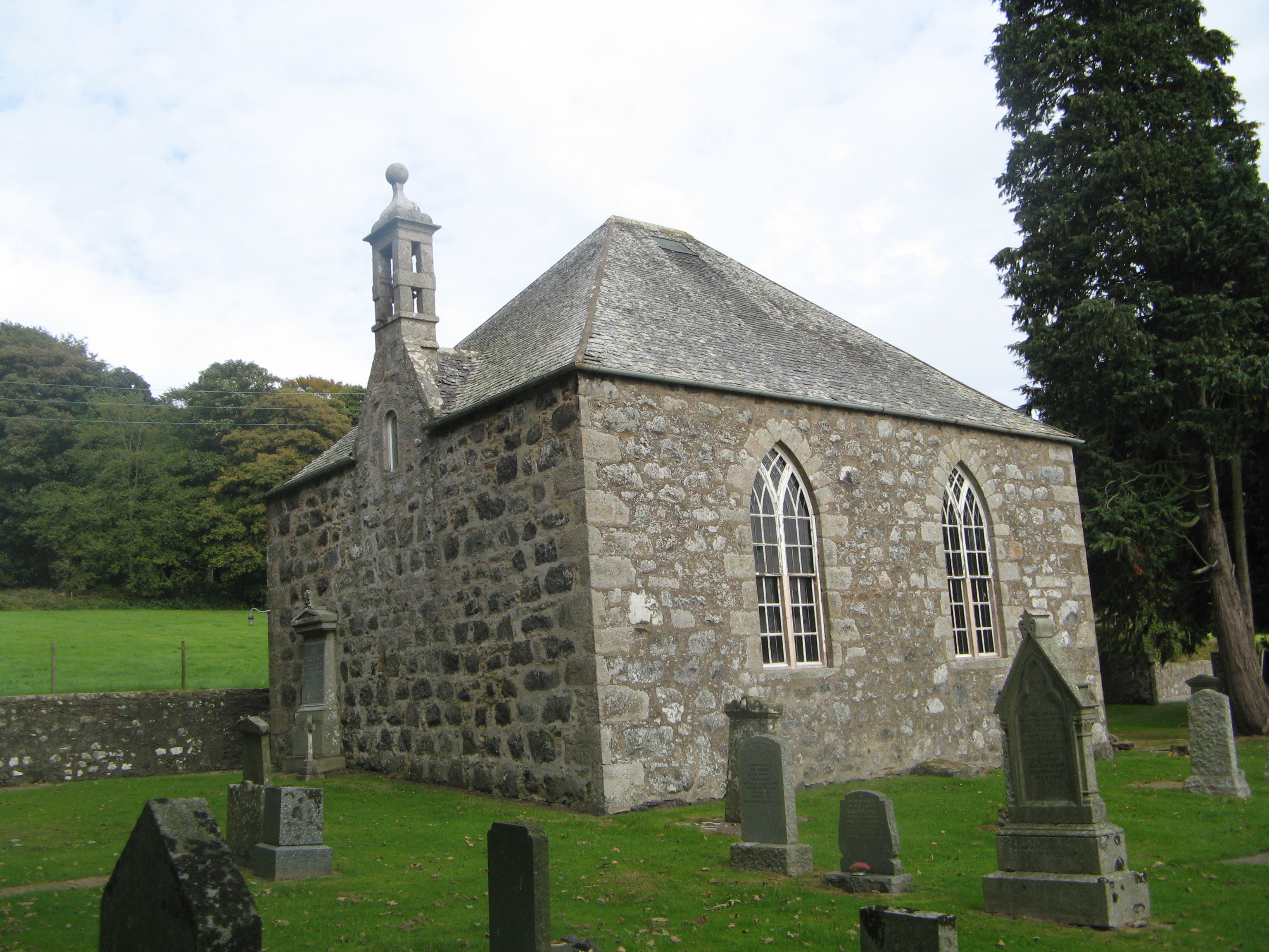
Bourtie Parish Church
Bourtie Parish Church is a church in Bourtie, near Oldmeldrum in Aberdeenshire, Scotland. Now a Category A listed building, it was built in 1806, to a...

Caskieben
Caskieben ( kahs-KEE-ben; Scottish Gaelic: Gasach beinn "Wooded Hill", later Keith Hall) Caskieben was a palisaded tower built by the Garviach family during...
Nearby Amenities
Located within 500m of 57.302519,-2.3473035Have you been to Hillbrae?
Leave your review of Hillbrae below (or comments, questions and feedback).