Hill Top
Settlement in Staffordshire Lichfield
England
Hill Top
Hill Top is a small village located in the county of Staffordshire, England. Situated in the northern part of the county, it is nestled among picturesque rolling hills and lush green countryside. The village is situated approximately 10 miles northeast of the county town of Stafford.
Hill Top is a quintessentially English village, known for its charm and tranquility. It is characterized by a collection of traditional stone cottages, many of which date back several centuries, giving the village a sense of history and heritage. The village is also home to a small but vibrant community, with a population of around 500 residents.
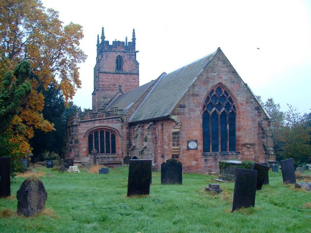
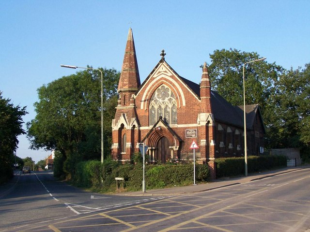
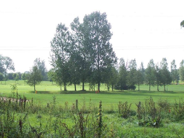
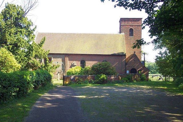
Although relatively small in size, Hill Top boasts several amenities to cater to the needs of its residents. These include a primary school, a church, a village hall, and a local pub, which acts as a hub for socializing and community gatherings. The surrounding countryside provides ample opportunities for outdoor activities such as hiking, cycling, and horse riding.
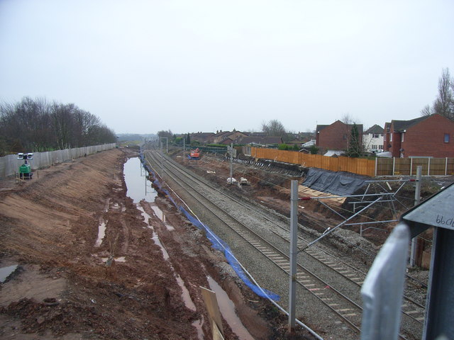
The village is well-connected to the wider region by road, with major routes such as the A518 and A51 passing nearby, providing easy access to nearby towns and cities. The nearest railway station is located in Stafford, which offers regular services to destinations across the country.
In conclusion, Hill Top is a charming village in Staffordshire, offering a peaceful and idyllic setting for its residents. With its rich history, beautiful surroundings, and close-knit community, it is a place that encapsulates the essence of rural England.
If you have any feedback on the listing, please let us know in the comments section below.
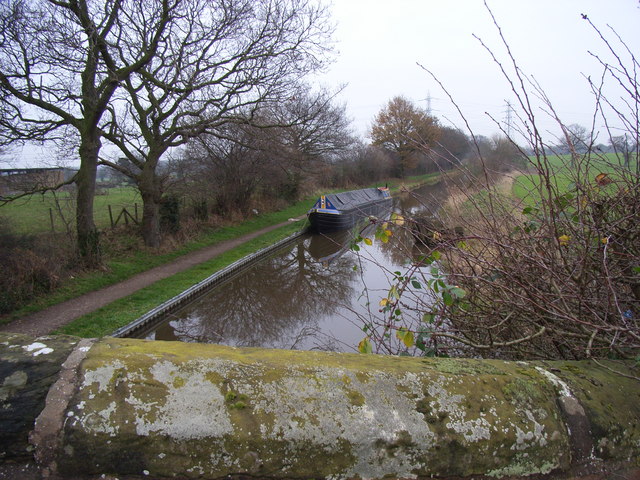
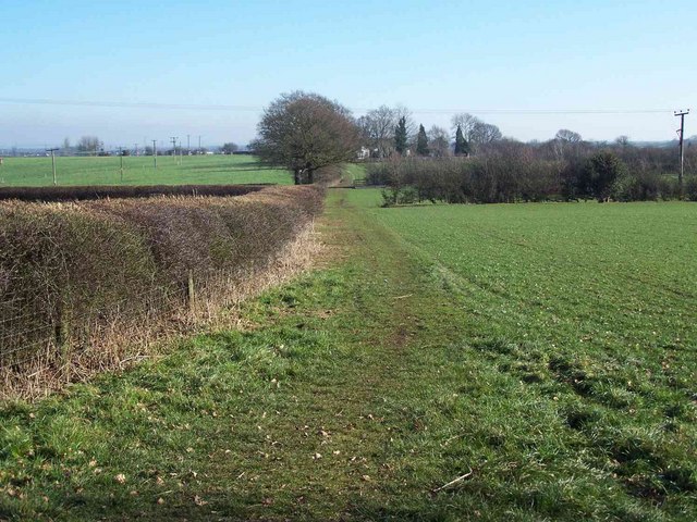
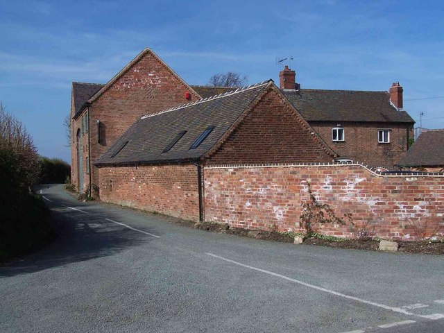
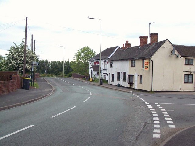
Hill Top Images
Images are sourced within 2km of 52.724934/-1.8692608 or Grid Reference SK0814. Thanks to Geograph Open Source API. All images are credited.


Hill Top is located at Grid Ref: SK0814 (Lat: 52.724934, Lng: -1.8692608)
Administrative County: Staffordshire
District: Lichfield
Police Authority: Staffordshire
What 3 Words
///blame.alert.newlyweds. Near Armitage, Staffordshire
Nearby Locations
Related Wikis

Longdon, Staffordshire
Longdon is a village and civil parish in the District of Lichfield, Staffordshire, England. == Location == The village is situated midway between the town...

Armitage railway station
Armitage railway station was a station on the Trent Valley Line, part of what is now known as the West Coast Main Line, and served the village of Armitage...

Armitage with Handsacre
Armitage with Handsacre or just Armitage is a civil parish in the Lichfield district of Staffordshire, England. It includes the villages of Armitage and...
Handsacre
Handsacre is a village in the English county of Staffordshire. Population details taken at the 2011 census can be found under Armitage with Handsacre...

Armitage
Armitage is a village in Staffordshire, England on the south side of the Trent and Mersey Canal south just outside of the market town of Rugeley and north...

George's Hayes
George's Hayes is a nature reserve of the Staffordshire Wildlife Trust. It is an ancient woodland, about a mile south-west of the village of Longdon, between...
Farewell Priory
Farewell Priory was a Benedictine nunnery near Lichfield in Staffordshire, England. Although it received considerable episcopal support, it was always...
Elmhurst Hall
Elmhurst Hall was a country house in the village of Elmhurst, Staffordshire. The house was located approximately 1.5 miles north of the city of Lichfield...
Nearby Amenities
Located within 500m of 52.724934,-1.8692608Have you been to Hill Top?
Leave your review of Hill Top below (or comments, questions and feedback).