Hill of Forss

Settlement in Caithness

Scotland

Hill of Forss

Track over Lythmore Moss leading to the slate quarries
Track over Lythmore Moss leading to the slate quarries Credit: John Ferguson

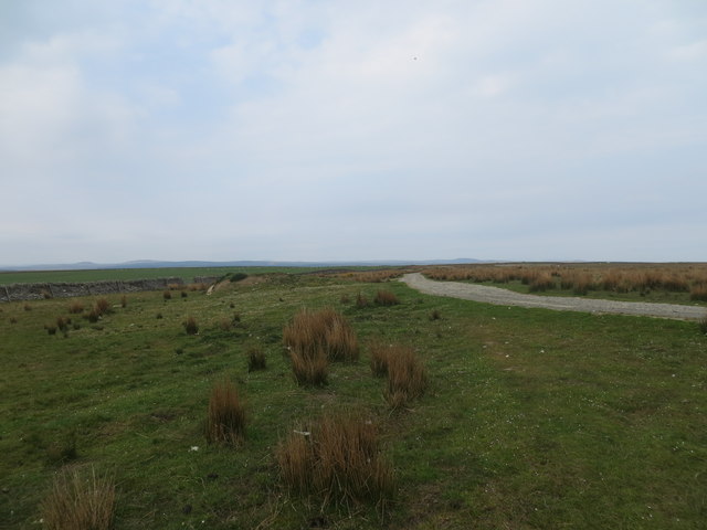
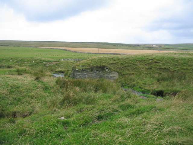
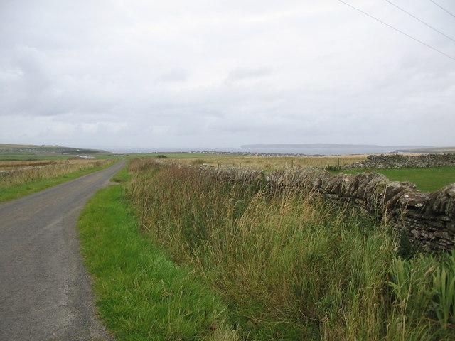
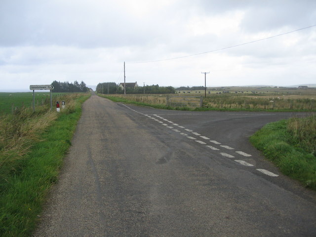
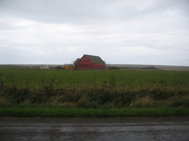
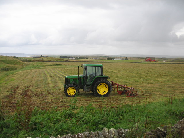
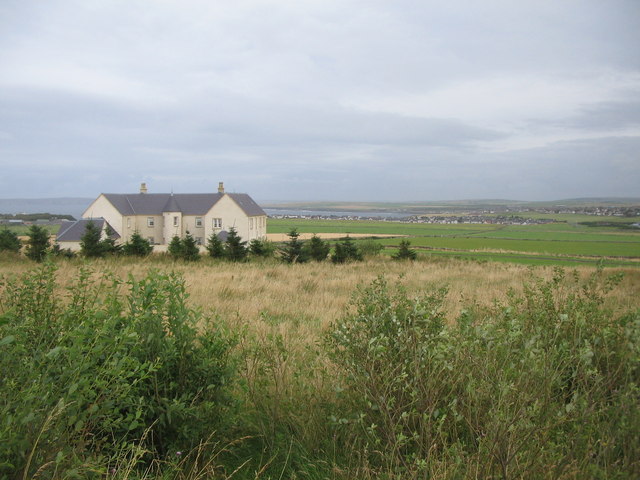
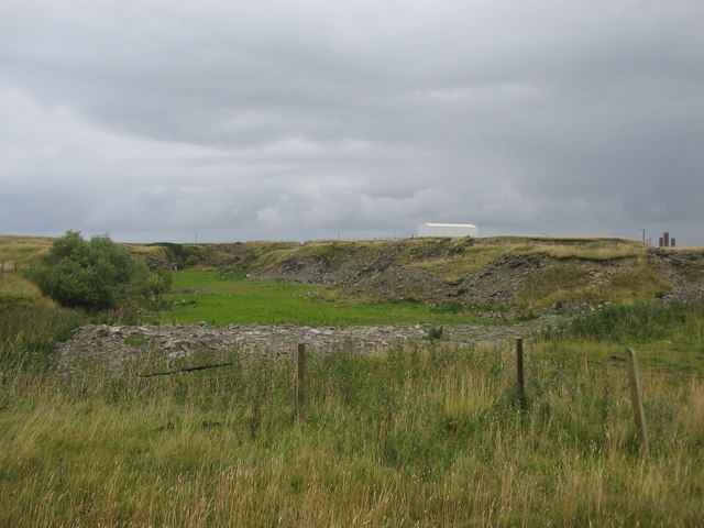
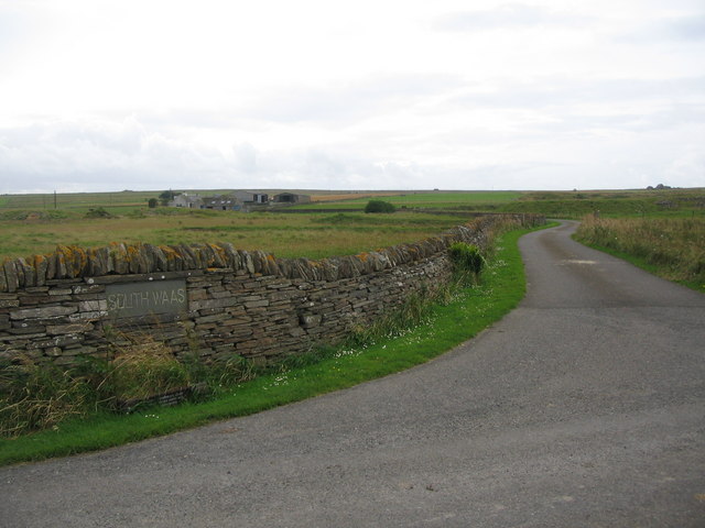
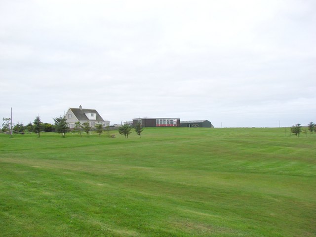
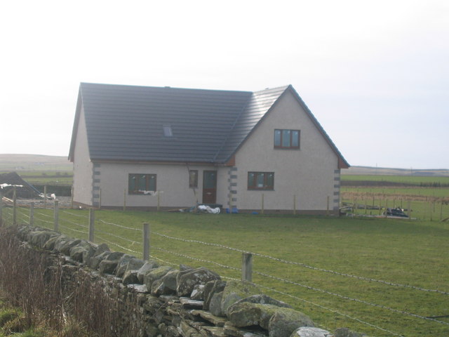
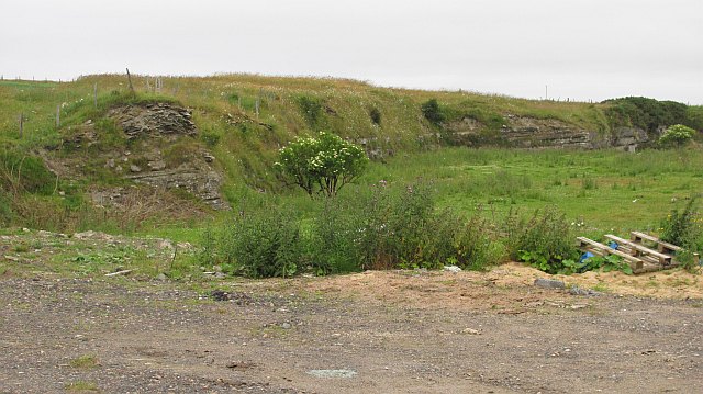
Hill of Forss is a small village located in the county of Caithness, in the northernmost part of Scotland. Nestled amidst stunning natural beauty, this quaint settlement offers a serene escape from the hustle and bustle of city life. Surrounded by rolling hills, lush green fields, and breathtaking coastal views, Hill of Forss is a haven for nature enthusiasts and those seeking tranquility.

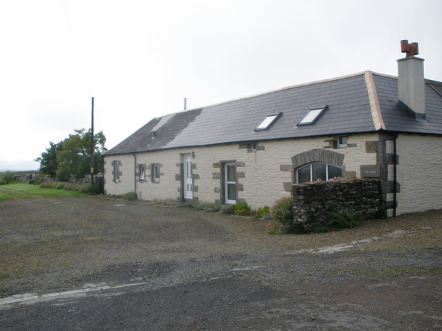
The village is home to a handful of traditional stone cottages and farmhouses, giving it a charming and rustic feel. The local community is welcoming and friendly, embodying the warmth and hospitality that is characteristic of rural Scotland.

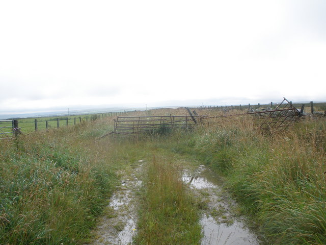
One of the main attractions in Hill of Forss is the Forss Water, a picturesque river that winds its way through the village. The river is renowned for its salmon fishing, attracting anglers from far and wide who come to test their skills against these elusive fish. For nature lovers, the surrounding area offers numerous walking trails and opportunities for birdwatching, allowing visitors to immerse themselves in the natural wonders of the Scottish countryside.

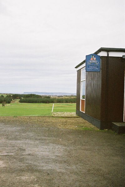
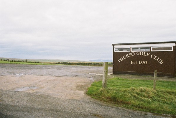
Despite its small size, Hill of Forss is conveniently located near larger towns such as Thurso and Wick, providing access to amenities such as shops, restaurants, and leisure facilities. Additionally, the village is well-connected by road, making it easily accessible to those traveling by car.

In summary, Hill of Forss is a charming village in Caithness, Scotland, offering a tranquil retreat amidst stunning natural landscapes. With its warm community, outdoor activities, and convenient location, it is a hidden gem waiting to be discovered.

If you have any feedback on the listing, please let us know in the comments section below.

Hill of Forss Images

Images are sourced within 2km of 58.585862/-3.5833184 or Grid Reference ND0867. Thanks to Geograph Open Source API. All images are credited.

Track over Lythmore Moss leading to the slate quarries
Clubhouse at Thurso Golf Club Britain's most northerly point, Dunnet Head, is in the background.
Clubhouse at Thurso Golf Club
Britain's most northerly point, Dunnet Head, is in the background.
Thurso Golf Club
Thurso Golf Club
Eroded drumlin A view looking to the northwest from the lane to Longland, towards the side of a drumlin eroded by a small burn.
Eroded drumlin
A view looking to the northwest from the lane to Longland, towards the side of a drumlin eroded by a small burn.
Lane from Longland A view looking to the northeast along the lane from Longland, towards the A836.
Lane from Longland
A view looking to the northeast along the lane from Longland, towards the A836.
Junction for Janetstown A view looking to the northeast along the lane from Longland, towards the junction of the lane to Janetstown.
Junction for Janetstown
A view looking to the northeast along the lane from Longland, towards the junction of the lane to Janetstown.
New build at Longland A view looking to the north towards a new building being erected at Longland.
New build at Longland
A view looking to the north towards a new building being erected at Longland.
Farmland near Hopefield A view looking to the east across farmland near Hopefield. The red structure at right is a new building being erected at Longland.
Farmland near Hopefield
A view looking to the east across farmland near Hopefield. The red structure at right is a new building being erected at Longland.
Grassland near Scrabster A view looking to the east from the A836, over grassland towards Scrabster and Thurso Bay. The imposing dwelling must enjoy spectacular views over the bay.
Grassland near Scrabster
A view looking to the east from the A836, over grassland towards Scrabster and Thurso Bay. The imposing dwelling must enjoy spectacular views over the bay.
Disused quarry near Newlands of Geise A view looking to the east towards a disused quarry near Newlands of Geise.
Disused quarry near Newlands of Geise
A view looking to the east towards a disused quarry near Newlands of Geise.
Lane to South Waas A view looking to the southwest along the lane to South Waas farm.
Lane to South Waas
A view looking to the southwest along the lane to South Waas farm.
Thurso Golf Course This construction is for golfers to climb up and see if there are any other players on the fairway, over the brow of a hill.
Thurso Golf Course
This construction is for golfers to climb up and see if there are any other players on the fairway, over the brow of a hill.
Thurso  Golf Club Clubhouse
Thurso Golf Club Clubhouse
House at Newlands of Geise Janetstown New build house
House at Newlands of Geise Janetstown
New build house
Quarry, Janetstown Flagstone quarry, now disused. A lot of pavements originated here. While Caithness supplied the stones, it is apparent that the bears that deal with crack stepping miscreants came from elsewhere.
Quarry, Janetstown
Flagstone quarry, now disused. A lot of pavements originated here. While Caithness supplied the stones, it is apparent that the bears that deal with crack stepping miscreants came from elsewhere.
Farm track near Janetstown
Roadside cottage
Roadside cottage
Quarry near to Hopefield Farm Quarry back in work mode.
Quarry near to Hopefield Farm
Quarry back in work mode.
Show me another place!

Hill of Forss is located at Grid Ref: ND0867 (Lat: 58.585862, Lng: -3.5833184)

Unitary Authority: Highland

Police Authority: Highlands and Islands

What 3 Words

///iteration.forkful.proposals. Near Thurso, Highland

Nearby Locations

Hill of Forss

Related Wikis

Wolfburn distillery

Wolfburn distillery is a Scotch whisky distillery in Thurso, Caithness, Scotland. After ceasing production in the 1860s, a new distillery of the same name...

Wolf Burn

The Wolf Burn is a small stream, running from a suspect subterranean source behind the Ormlie housing estate in Thurso, Highland Region in the United Kingdom...

Newlands of Geise

Newlands of Geise is a scattered hamlet. It lies to the south west of Thurso in Caithness in the Scottish Highlands and is in the Scottish council area...

Dunbar Hospital, Thurso

Dunbar Hospital is a health facility in Ormlie Road, Thurso, Scotland. It is managed by NHS Highland. == History == The facility, which financed by a legacy...

Nearby Amenities

Located within 500m of 58.585862,-3.5833184
Murrayfield
Place: hamlet
Lat/Long: 58.5854806/-3.585492
Power: pole
Lat/Long: 58.5873925/-3.5849781
Power: pole
Lat/Long: 58.5875253/-3.5843287
Power: pole
Lat/Long: 58.5872113/-3.5858641
Power: pole
Lat/Long: 58.586145/-3.5868938
Power: pole
Lat/Long: 58.5856467/-3.5870555
Power: pole
Lat/Long: 58.5854403/-3.5875794
Power: pole
Lat/Long: 58.5849345/-3.5880477
Power: pole
Lat/Long: 58.5843695/-3.5885789
Power: pole
Lat/Long: 58.5840121/-3.5897666
Power: pole
Lat/Long: 58.5847293/-3.5873766
Power: pole
Lat/Long: 58.585015/-3.5864351
Power: pole
Lat/Long: 58.5852063/-3.5858146
Power: pole
Lat/Long: 58.5854202/-3.5850783
Power: pole
Lat/Long: 58.5858027/-3.5838254
Power: pole
Lat/Long: 58.5856045/-3.5831917
Power: pole
Lat/Long: 58.5859342/-3.5821149
Power: pole
Lat/Long: 58.586391/-3.5806037
Power: pole
Lat/Long: 58.5874322/-3.575808
Power: pole
Lat/Long: 58.587704/-3.5770452
The data included in this document is from www.openstreetmap.org. The data is made available under ODbL.

Have you been to Hill of Forss?

Leave your review of Hill of Forss below (or comments, questions and feedback).