Higher Stubbin
Settlement in Yorkshire
England
Higher Stubbin
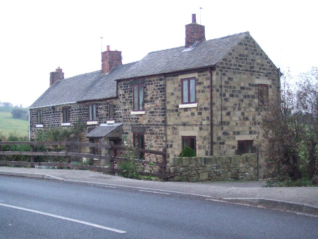
Higher Stubbin is a small village located in the county of South Yorkshire, England. It is situated near the town of Rotherham and is part of the Metropolitan Borough of Rotherham. The village is primarily residential, with a mix of detached houses, semi-detached houses, and bungalows.
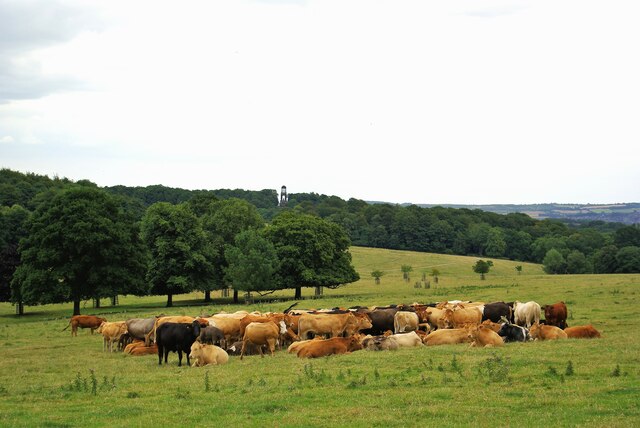
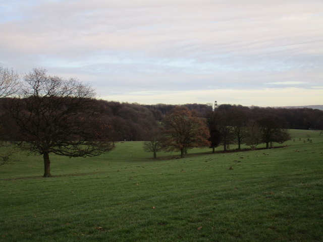
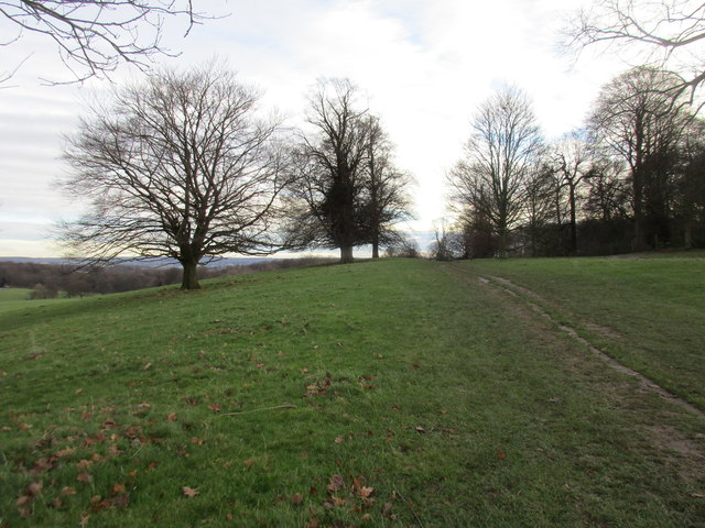
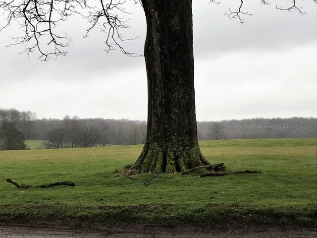
Higher Stubbin is surrounded by picturesque countryside, offering residents a peaceful and rural setting to call home. The village has a close-knit community, with a local pub, church, and village hall serving as focal points for social gatherings and events.
The village is well-connected by road, with easy access to the nearby towns of Rotherham and Sheffield. There are also bus services that run through Higher Stubbin, providing residents with public transportation options.
Overall, Higher Stubbin is a charming and idyllic village that offers a quiet and peaceful lifestyle for its residents. Its scenic surroundings and strong sense of community make it a desirable place to live for those looking for a tranquil setting in the Yorkshire countryside.
If you have any feedback on the listing, please let us know in the comments section below.
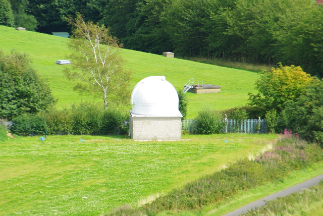
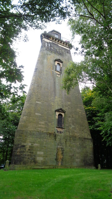
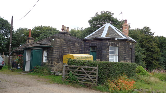
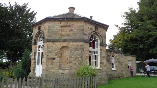
Higher Stubbin Images
Images are sourced within 2km of 53.472113/-1.3699747 or Grid Reference SK4197. Thanks to Geograph Open Source API. All images are credited.
Higher Stubbin is located at Grid Ref: SK4197 (Lat: 53.472113, Lng: -1.3699747)
Division: West Riding
Unitary Authority: Rotherham
Police Authority: South Yorkshire
What 3 Words
///splice.hunter.fund. Near Rawmarsh, South Yorkshire
Nearby Locations
Related Wikis

Wentworth (UK Parliament constituency)
Wentworth was a parliamentary constituency in South Yorkshire. Originally created in 1918 and was abolished in 1950, the name was revived when a new constituency...

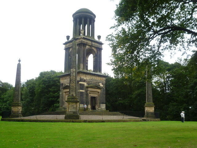
The Rockingham Mausoleum
The Rockingham Mausoleum, Wentworth, near Rotherham, South Yorkshire, England is a cenotaph commemorating Charles Watson-Wentworth, 2nd Marquess of Rockingham...

New Stubbin Colliery
New Stubbin Colliery was a coal mine situated in the township of Rawmarsh near Rotherham, South Yorkshire, England. The colliery was situated in a deep...
Warren House Colliery
Warren House Colliery was a coal mine situated to the north of Rawmarsh, near Rotherham, South Yorkshire, England. The colliery within lands owned by Earl...
Nearby Amenities
Located within 500m of 53.472113,-1.3699747Have you been to Higher Stubbin?
Leave your review of Higher Stubbin below (or comments, questions and feedback).