High Knocke
Settlement in Kent Shepway
England
High Knocke

High Knocke is a small village located in the county of Kent, England. Situated in the southeastern part of the country, High Knocke is nestled amidst the picturesque countryside, offering residents and visitors a tranquil and idyllic setting.
The village is known for its charming atmosphere and close-knit community. With a population of around 500 residents, High Knocke exudes a sense of warmth and friendliness. The traditional architecture of the houses adds to the village's charm, with many buildings dating back several centuries.
The surrounding landscape of High Knocke is characterized by rolling hills, lush green fields, and meandering streams. This rural setting provides ample opportunities for outdoor activities such as hiking, cycling, and nature walks. The village is also home to a number of farms, contributing to the agricultural heritage of the area.
Despite its small size, High Knocke boasts several amenities and services. These include a local pub, a village hall, a primary school, and a small convenience store. The village hall serves as a hub for community events, gatherings, and celebrations, fostering a strong sense of togetherness among residents.
High Knocke is conveniently located within proximity to larger towns and cities. The bustling town of Tunbridge Wells is just a short drive away, offering a wider range of amenities, shopping centers, and recreational facilities.
In summary, High Knocke is a charming and peaceful village in the heart of Kent. Its scenic surroundings, close community, and convenient location make it an attractive place to live or visit for those seeking a quintessential English countryside experience.
If you have any feedback on the listing, please let us know in the comments section below.
High Knocke Images
Images are sourced within 2km of 51.018405/0.98783414 or Grid Reference TR0928. Thanks to Geograph Open Source API. All images are credited.


High Knocke is located at Grid Ref: TR0928 (Lat: 51.018405, Lng: 0.98783414)
Administrative County: Kent
District: Shepway
Police Authority: Kent
What 3 Words
///suave.beanbag.hurry. Near Dymchurch, Kent
Nearby Locations
Related Wikis
Golden Sands Halt railway station
Golden Sands Halt railway station was a private station on the Romney, Hythe and Dymchurch Railway in St Mary's Bay, Kent, England. In the 1990s it was...
Dymchurch railway station
Dymchurch railway station is on the Romney, Hythe and Dymchurch Railway in Kent, England. It is five miles (eight km) south of Hythe, and surrounded by...

Dymchurch Martello Tower
Dymchurch Martello Tower is a Martello tower in Dymchurch, Kent England. It stands immediately behind the sea wall. It has been designated by English Heritage...

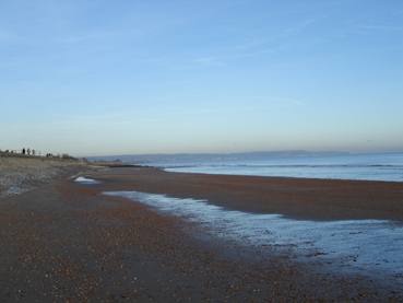
St Mary's Bay, Kent
St Mary's Bay, also known as The Bay, is a coastal village in Kent, England. Situated on Romney Marsh, St Mary's Bay has a long sandy beach which stretches...

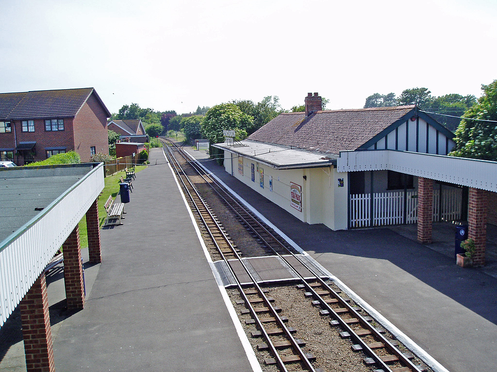
St Mary's Bay railway station
St. Mary's Bay railway station is a small station in St Mary's Bay, Kent, England, between the larger stations of New Romney and Dymchurch, on the Romney...
Dymchurch
Dymchurch is a village and civil parish in the Folkestone and Hythe district of Kent, England. The village is located on the coast five miles (8 km) south...
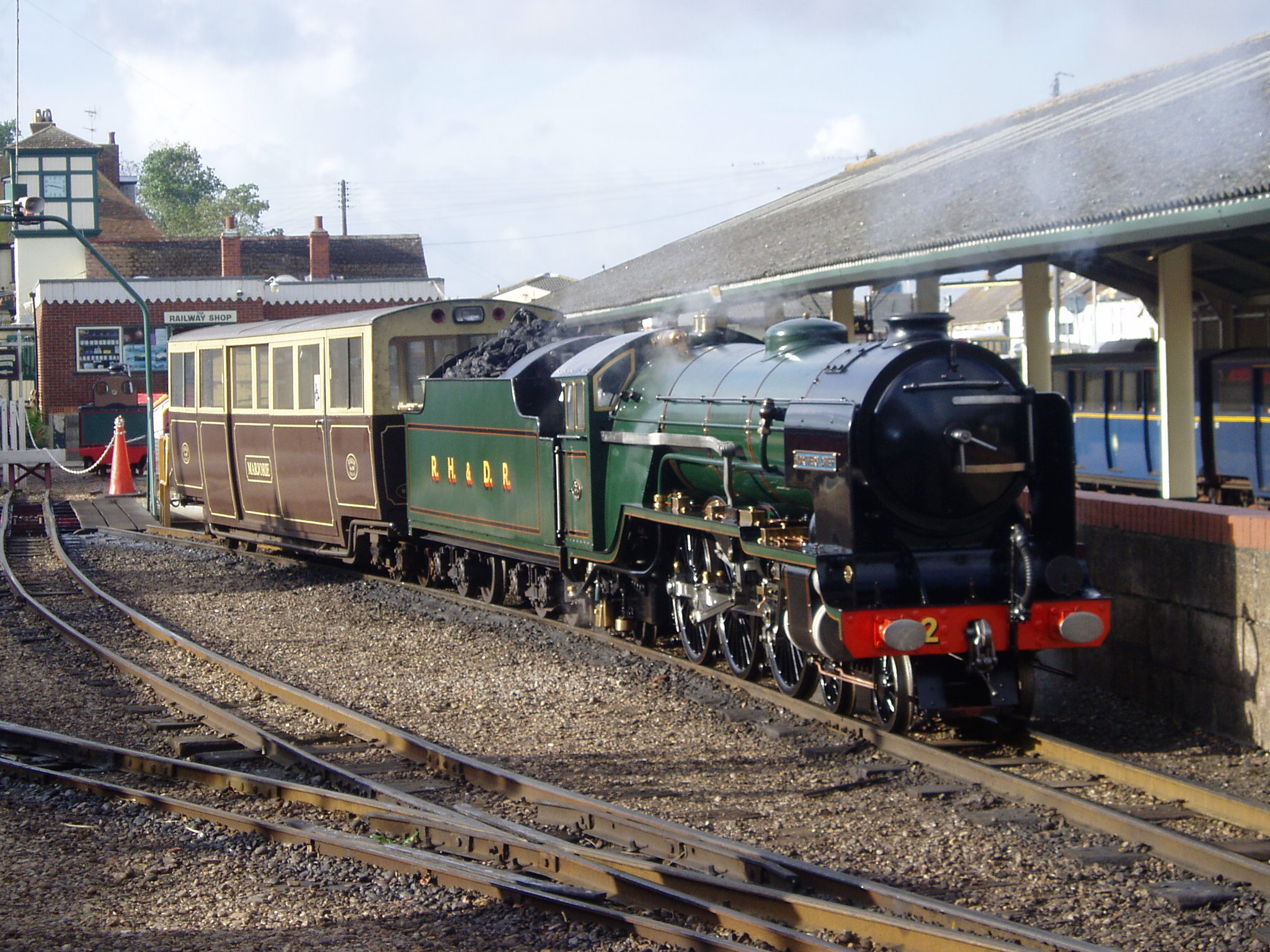
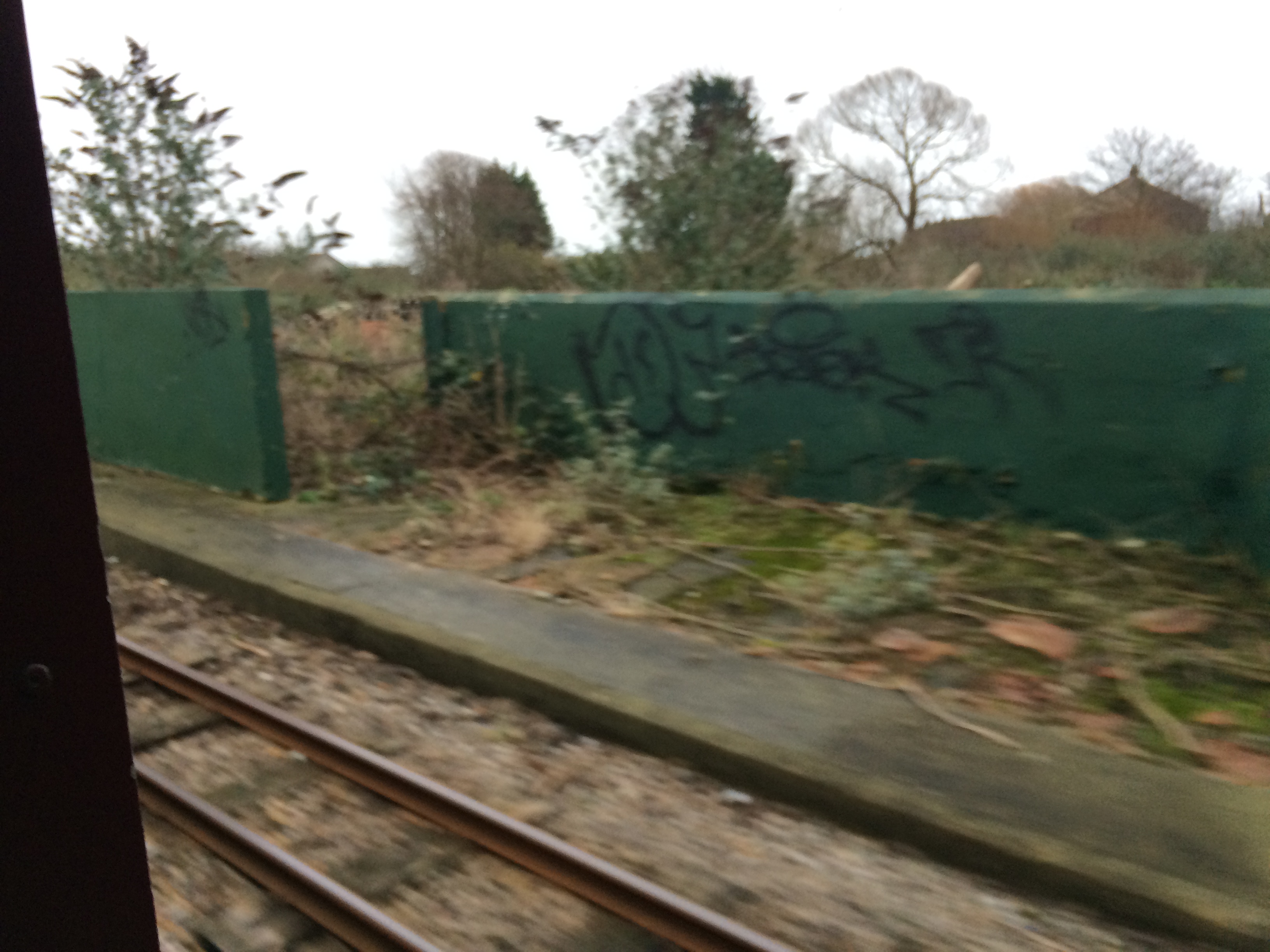
Romney, Hythe and Dymchurch Railway
The Romney, Hythe and Dymchurch Railway (RH&DR) is a 15 in (381 mm) gauge light railway in Kent, England, operating steam and internal combustion locomotives...

Burmarsh Road railway station
Burmarsh Road railway station is a station on the Romney, Hythe and Dymchurch Railway in Kent, England. It is four miles south of Hythe. == History... ==
Nearby Amenities
Located within 500m of 51.018405,0.98783414Have you been to High Knocke?
Leave your review of High Knocke below (or comments, questions and feedback).