High Knightswood

Settlement in Dunbartonshire

Scotland

High Knightswood

Boulevard Bridge Great Western Road, once was a swing bridge, replaced with an embankment, present bridge built for canal reopening.
Boulevard Bridge Credit: william craig

High Knightswood is a suburban area situated in the local authority area of Dunbartonshire, Scotland. Located approximately 5 miles west of Glasgow city center, it forms part of the larger district of Knightswood.

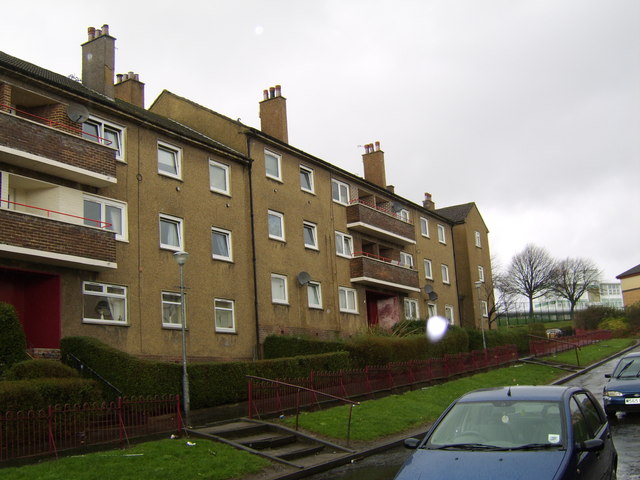
Primarily a residential area, High Knightswood is home to a diverse community and offers a mix of housing options, including detached and semi-detached houses, as well as some apartment buildings. The area is known for its quiet and peaceful atmosphere, making it popular among families and professionals seeking a suburban lifestyle within easy reach of the city.

High Knightswood benefits from its proximity to various amenities and facilities. Within the immediate vicinity, residents have access to local shops, supermarkets, and a range of services. The nearby Great Western Road provides easy access to a wider array of retail and dining options, including large shopping centers and restaurants.

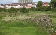
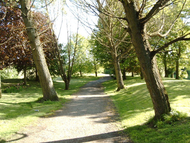
For outdoor enthusiasts, High Knightswood offers several green spaces and parks, providing opportunities for leisurely walks, picnics, and recreational activities. Knightswood Park, located nearby, is a popular destination, featuring sports fields, a children's play area, and a golf course.

Transport links in High Knightswood are well-developed, with regular bus services connecting the area to Glasgow city center and surrounding areas. The nearby A82 and A739 roads provide convenient access to the wider road network, making commuting by car straightforward.

Overall, High Knightswood offers a pleasant residential environment with a range of amenities, making it an attractive place to live for those seeking a suburban lifestyle close to the city.

If you have any feedback on the listing, please let us know in the comments section below.

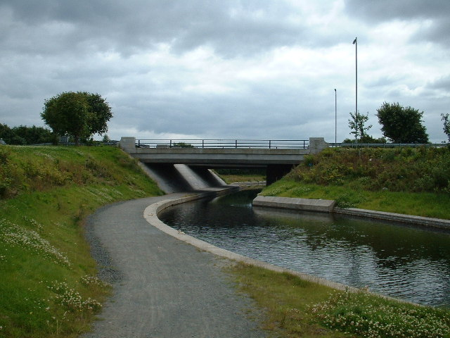
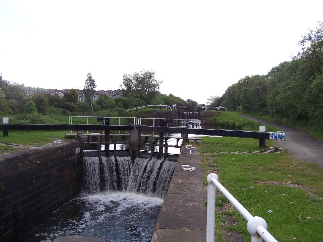
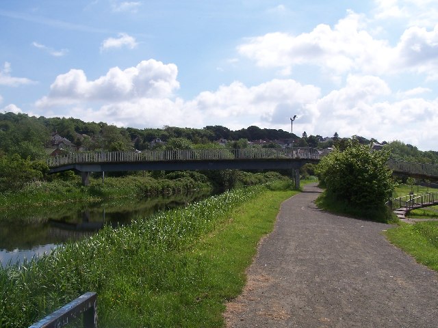
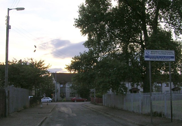
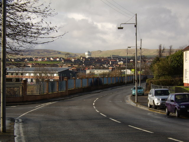
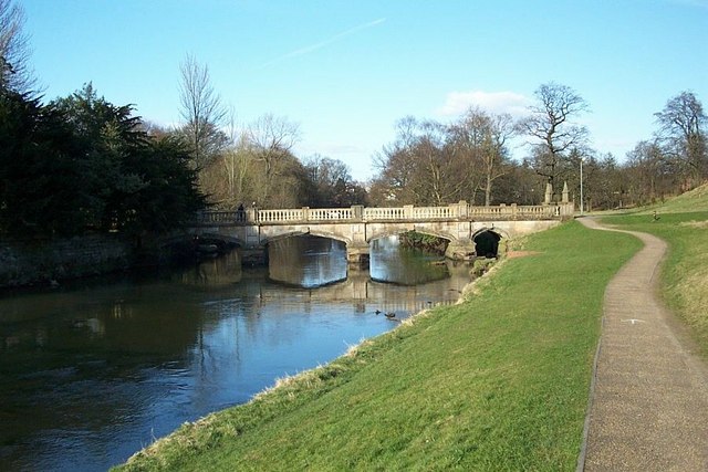
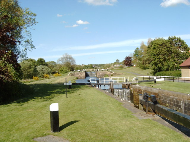
High Knightswood Images

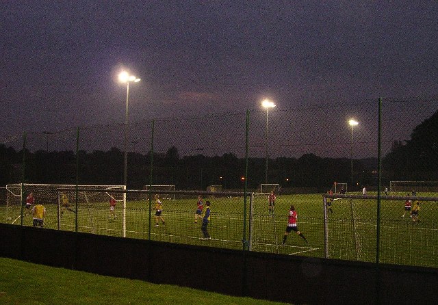
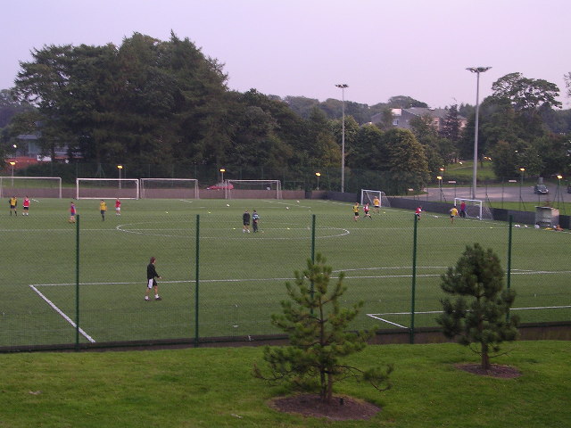
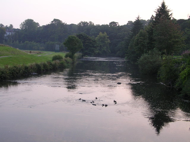
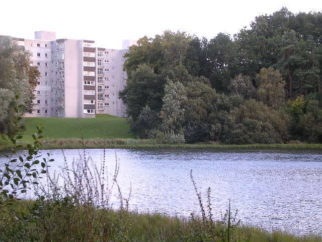
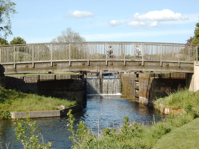
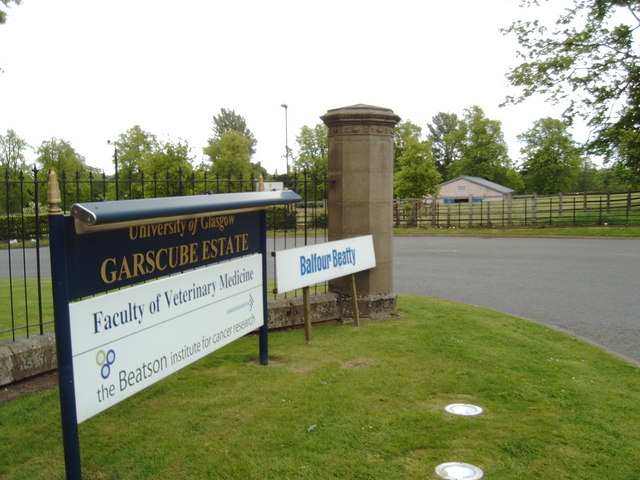
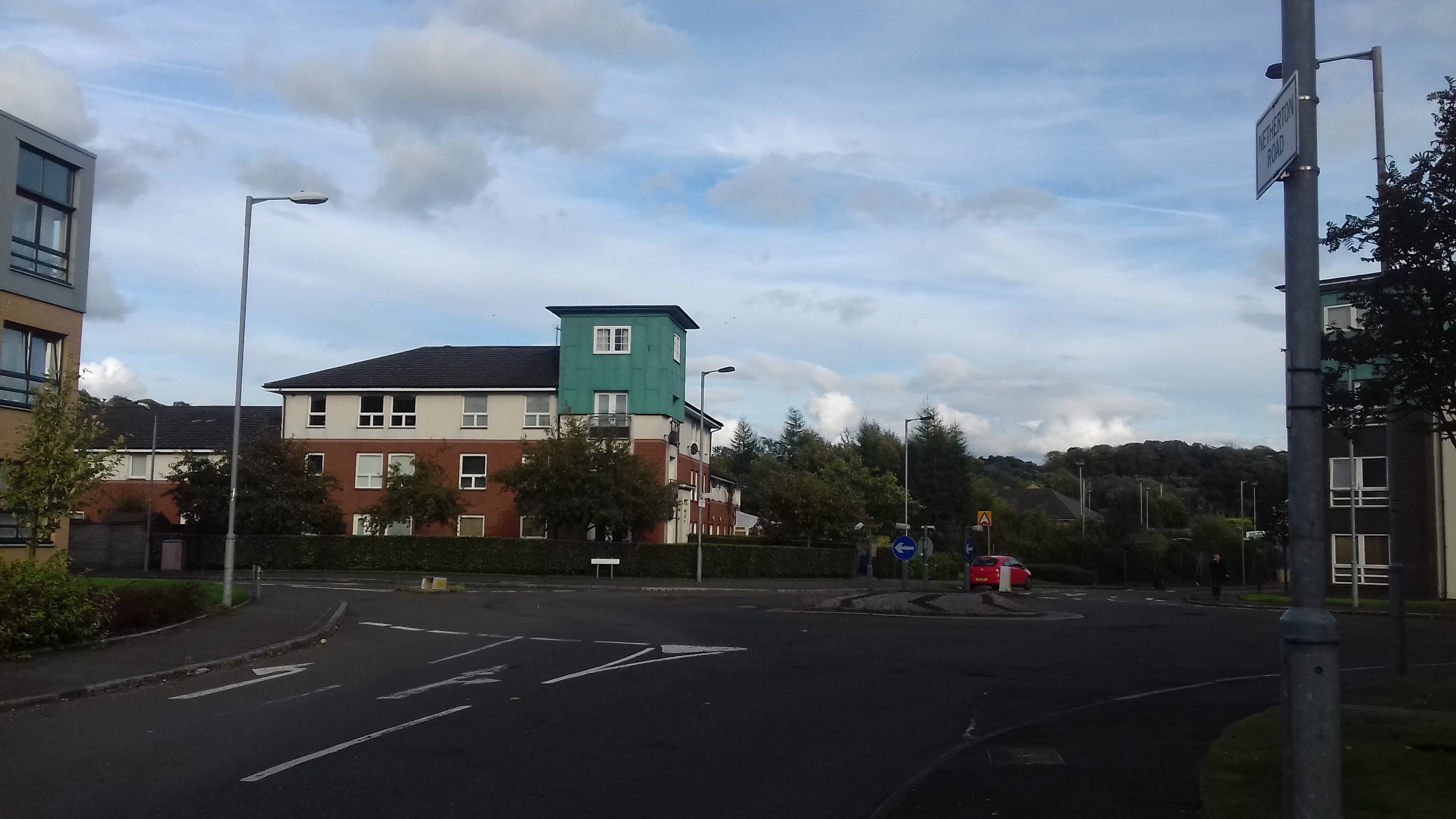
Images are sourced within 2km of 55.899089/-4.3405831 or Grid Reference NS5369. Thanks to Geograph Open Source API. All images are credited.

Boulevard Bridge Great Western Road, once was a swing bridge, replaced with an embankment, present bridge built for canal reopening.
Boulevard Bridge
Great Western Road, once was a swing bridge, replaced with an embankment, present bridge built for canal reopening.
Clobberhill locks on the Forth and Clyde Canal
Clobberhill locks
on the Forth and Clyde Canal
Westerton footbridge leads to Westerton Station from the canal
Westerton footbridge
leads to Westerton Station from the canal
The Road into Drumchapel Note the pair of shoes hanging from the phone cable
The Road into Drumchapel
Note the pair of shoes hanging from the phone cable
Glasgow University Garscube Sports Complex
Glasgow Uni Garscube Sports Complex
River Kelvin Photo taken from bridge within Garscube grounds.
River Kelvin
Photo taken from bridge within Garscube grounds.
St Germains Loch Very secluded loch in Bearsden. In fact impossible to even see unless you ignore a few "Private Residents Only" type signs.
St Germains Loch
Very secluded loch in Bearsden. In fact impossible to even see unless you ignore a few "Private Residents Only" type signs.
Garscadden burn view of Garscadden burn
Garscadden burn
view of Garscadden burn
Garscadden Burn Park Garscadden Burn Park is an important site for nature conservation with wetland, wet woodland and heathland habitat. It also follows part of the route of Garscadden Burn.
Garscadden Burn Park
Garscadden Burn Park is an important site for nature conservation with wetland, wet woodland and heathland habitat. It also follows part of the route of Garscadden Burn.
Sign for Drumchapel Hospital Not a general use hospital, but a rehabilitation hospital for mainly older patients who have suffered strokes or are suffering from general ortho-geriatric conditions.
Sign for Drumchapel Hospital
Not a general use hospital, but a rehabilitation hospital for mainly older patients who have suffered strokes or are suffering from general ortho-geriatric conditions.
Traditional Drumchapel Houses Before renovation of the area began, the houses all looked like this - now very few houses in the area do.
Traditional Drumchapel Houses
Before renovation of the area began, the houses all looked like this - now very few houses in the area do.
View along Garscadden Road, Drumchapel With a nice view to the new Drumchapel area, the Kilpatrick Hills, and the water cooler.
View along Garscadden Road, Drumchapel
With a nice view to the new Drumchapel area, the Kilpatrick Hills, and the water cooler.
River Kelvin. This peaceful part of the Science Park feels miles, rather than a few hundred yards, away from the busy roads that lead in and out of Glasgow.  An ideal spot to recharge the batteries when at a busy conference.
River Kelvin.
This peaceful part of the Science Park feels miles, rather than a few hundred yards, away from the busy roads that lead in and out of Glasgow. An ideal spot to recharge the batteries when at a busy conference.
Locks 32 & 31 on the Forth and Clyde Canal
Slanted Trees Pathway along the Forth and Clyde Canal, just north of the Great Western Road bridge.
Slanted Trees
Pathway along the Forth and Clyde Canal, just north of the Great Western Road bridge.
Wooden Footbridge over the Forth and Clyde Canal at Lock 32
Wooden Footbridge
over the Forth and Clyde Canal at Lock 32
Entrance to Garscube Estate
Show me another place!

High Knightswood is located at Grid Ref: NS5369 (Lat: 55.899089, Lng: -4.3405831)

Unitary Authority: City of Glasgow

Police Authority: Greater Glasgow

What 3 Words

///lives.comic.drip. Near Bearsden, East Dunbartonshire

Nearby Locations

High Knightswood

Related Wikis

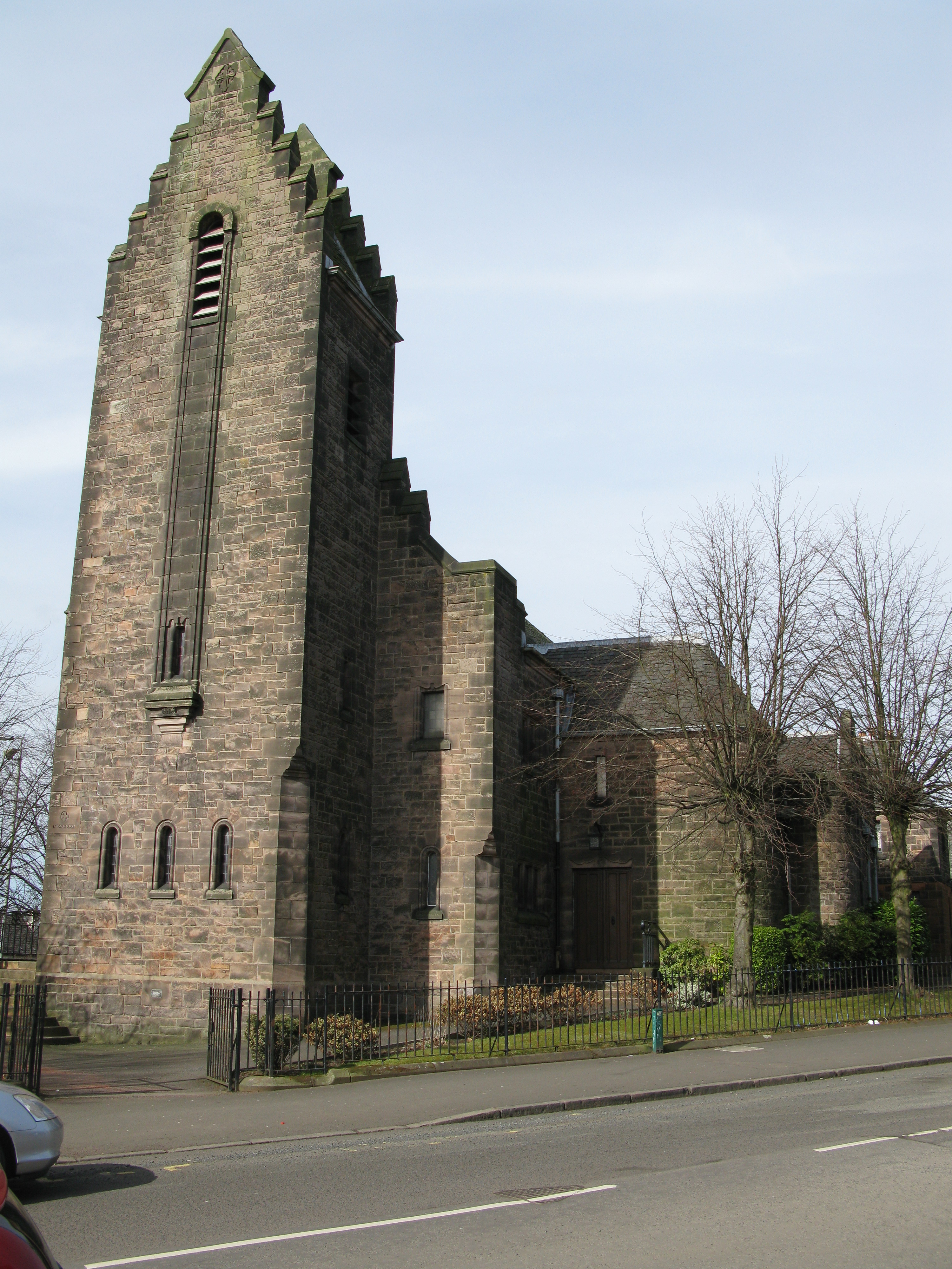
Knightswood St Margaret's Parish Church

Knightswood St. Margaret's Parish Church is a parish church of the Church of Scotland, serving part of the Knightswood area of Glasgow, Scotland. ��2...

Knightswood

Knightswood is a suburban district in Glasgow, containing three areas: Knightswood North or High Knightswood, Knightswood South or Low Knightswood, and...

Westerton railway station

Westerton railway station is a railway station that serves the Westerton district in the town of Bearsden, Scotland. The station is managed and served...

Netherton, Glasgow

Netherton is a district of Glasgow, in the north of the city, bounded by Temple to the south, Knightswood to the west while Westerton in Bearsden lies...

Nearby Amenities

Located within 500m of 55.899089,-4.3405831
Traffic Signals
Lat/Long: 55.8960054/-4.3354038
Mini Roundabout
Lat/Long: 55.8990855/-4.3405721
Knightswood Cross
Junction: yes
Lat/Long: 55.8947959/-4.3404868
High Knightswood
Alt Name: Knightswood North
Place: quarter
Source: OS_OpenData_StreetView
Lat/Long: 55.9007495/-4.3411075
Atm
Fee: no
Lat/Long: 55.8999963/-4.3406642
Atm
Fee: no
Operator: Post Office
Lat/Long: 55.8960803/-4.3417692
Post Office
Knightswood Post Office
Addr Country: GB
Addr Postcode: G13 2EX
Brand: Post Office
Brand Wikidata: Q1783168
Contact Website: https://www.postoffice.co.uk/branch-finder/2048329/knightswood
Ref Pol Id: 7192
Lat/Long: 55.8960894/-4.3417961
Bus Stop
Knightscliffe Avenue / Fulton Street
Bus: yes
Naptan AtcoCode: 6090730
Naptan Bearing: SE
Naptan CommonName: Knightswood Community Centre
Naptan Indicator: At
Naptan Landmark: Fulton Street
Naptan NaptanCode: 45232956
Naptan Street: Knightscliffe Avenue
Public Transport: platform
Ref: 6090730
Source: survey
Lat/Long: 55.8968103/-4.3363025
Bus Stop
Knightswood, Knightscliffe Avenue/ Wilverton Road
Naptan AtcoCode: 60903916
Naptan Bearing: S
Naptan CommonName: Wilverton Road Turning circle
Naptan Indicator: in
Naptan Landmark: Wilverton Road
Naptan NaptanCode: 45282798
Naptan Street: Knightscliffe Avenue
Ref: 60903916
Source: survey
Lat/Long: 55.89876/-4.33754
Bus Stop
Knightswood, Wilverton Road/ Rotherwood Avenue
Naptan AtcoCode: 6090704
Naptan Bearing: SW
Naptan CommonName: Rotherwood Avenue
Naptan Indicator: Opp
Naptan Landmark: Rotherwood Avenue
Naptan NaptanCode: 45242683
Naptan Street: Wilverton Road
Ref: 6090704
Source: survey
Lat/Long: 55.8994525/-4.3364277
Bus Stop
Knightscliffe Avenue / Friarscourt Lane
Bus: yes
Naptan AtcoCode: 6090731
Naptan Bearing: NW
Naptan CommonName: Knightswood Community Centre
Naptan Indicator: Opp
Naptan Landmark: Friarscourt Lane
Naptan NaptanCode: 45232823
Naptan Street: Knightscliffe Avenue
Public Transport: platform
Ref: 6090731
Source: survey;bing
Lat/Long: 55.8969427/-4.336849
Bus Stop
Knightswood, Wilverton Road/ Rotherwood Avenue
Naptan AtcoCode: 6090703
Naptan Bearing: NE
Naptan CommonName: Rotherwood Avenue
Naptan Indicator: after
Naptan Landmark: Rotherwood Avenue
Naptan NaptanCode: 45235986
Naptan Street: Wilverton Road
Ref: 6090703
Source: survey; bing
Lat/Long: 55.8997135/-4.3358606
Bus Stop
Knightswood, Great Western Road/ Lincoln Avenue
Naptan AtcoCode: 6090391
Naptan Bearing: NW
Naptan CommonName: Lincoln Avenue
Naptan Indicator: At
Naptan Landmark: Lincoln Avenue
Naptan NaptanCode: 45232427
Naptan Street: Great Western Road
Ref: 6090391
Lat/Long: 55.89693/-4.34493
Bus Stop
Knightswood, Great Western Road/ Nursing Home
Bench: yes
Bin: yes
Naptan AtcoCode: 60903575
Naptan Bearing: SE
Naptan CommonName: Morion Road
Naptan Indicator: after
Naptan Landmark: Nursing Home
Naptan NaptanCode: 45242638
Naptan Street: Great Western Road
Ref: 60903575
Shelter: yes
Lat/Long: 55.89621/-4.34356
Bus Stop
Great Western Road / Tabard Road
Naptan AtcoCode: 6090392
Naptan Bearing: SE
Naptan CommonName: Tabard Road
Naptan Indicator: opp
Naptan Landmark: Tabard Road
Naptan NaptanCode: 45232395
Naptan Street: Great Western Road
Ref: 6090392
Shelter: yes
Lat/Long: 55.8980874/-4.3454795
Bus Stop
Great Western Road / Tabard Road
Naptan AtcoCode: 60903714
Naptan Bearing: NW
Naptan CommonName: Tabard Road
Naptan Indicator: After
Naptan Landmark: Tabard Road
Naptan NaptanCode: 45234353
Naptan Street: Great Western Road
Ref: 60903714
Lat/Long: 55.8989023/-4.3471394
Bus Stop
Knightswood, Lincoln Avenue/ Locksley Avenue
Naptan AtcoCode: 6090522
Naptan Bearing: SW
Naptan CommonName: Locksley Avenue
Naptan Indicator: before
Naptan Landmark: Locksley Avenue
Naptan NaptanCode: 45236732
Naptan Street: Lincoln Avenue
Ref: 6090522
Lat/Long: 55.89688/-4.3455
Bus Stop
Knightswood, Lincoln Avenue/ Locksley Avenue
Naptan AtcoCode: 6090523
Naptan Bearing: NE
Naptan CommonName: Locksley Avenue
Naptan Indicator: after
Naptan Landmark: Locksley Avenue
Naptan NaptanCode: 45232937
Naptan Street: Lincoln Avenue
Ref: 6090523
Lat/Long: 55.8969/-4.34576
Bus Stop
Baldwin Avenue / Cedric Road
Bus: yes
Naptan AtcoCode: 6090726
Naptan Bearing: SW
Naptan CommonName: Cedric Road
Naptan Indicator: Near
Naptan Landmark: Cedric Road
Naptan NaptanCode: 45243475
Naptan Street: Baldwin Avenue
Public Transport: platform
Ref: 6090726
Lat/Long: 55.89606/-4.33972
Bus Stop
Knightswood, Baldwin Avenue/ Clobberhill Road
Naptan AtcoCode: 6090722
Naptan Bearing: N
Naptan CommonName: Cloberhill Road
Naptan Indicator: Near
Naptan Landmark: Clobberhill Road
Naptan NaptanCode: 45236384
Naptan Street: Baldwin Avenue
Ref: 6090722
Lat/Long: 55.90245/-4.34081
Bus Stop
Knightswood, Baldwin Avenue/ Cowdenhill Road
Naptan AtcoCode: 60903607
Naptan Bearing: N
Naptan CommonName: Cowdenhill Road
Naptan Indicator: before
Naptan Landmark: Cowdenhill Road
Naptan NaptanCode: 45243243
Naptan Street: Baldwin Avenue
Ref: 60903607
Lat/Long: 55.89761/-4.33988
Bus Stop
Knightswood, Baldwin Avenue/ Cowdenhill Road
Naptan AtcoCode: 6090725
Naptan Bearing: S
Naptan CommonName: Cowdenhill Road
Naptan Indicator: after
Naptan Landmark: Cowdenhill Road
Naptan NaptanCode: 45235368
Naptan Street: Baldwin Avenue
Ref: 6090725
Lat/Long: 55.8988043/-4.3403808
Bus Stop
Baldwin Avenue / Fulton Street
Bus: yes
Naptan AtcoCode: 6090727
Naptan Bearing: SW
Naptan CommonName: St Ninians Church
Naptan Indicator: opp
Naptan Landmark: Fulton Street
Naptan NaptanCode: 45238397
Naptan Street: Baldwin Avenue
Public Transport: platform
Ref: 6090727
Lat/Long: 55.8952207/-4.3400775
Bus Stop
Baldwin Avenue / Knightswood Cross
Bus: yes
Naptan AtcoCode: 60903606
Naptan Bearing: NE
Naptan CommonName: St Ninians Church
Naptan Indicator: At
Naptan Landmark: Knightswood Cross
Naptan NaptanCode: 45235239
Naptan Street: Baldwin Avenue
Public Transport: platform
Ref: 60903606
Lat/Long: 55.89533/-4.34032
Bus Stop
Baldwin Avenue / Trinley Road
Naptan AtcoCode: 6090724
Naptan Bearing: N
Naptan CommonName: Trinley Road Northbound
Naptan Indicator: At
Naptan Landmark: Trinley Road
Naptan NaptanCode: 45242745
Naptan Street: Baldwin Avenue
Ref: 6090724
Lat/Long: 55.90054/-4.34094
Bus Stop
Knightswood, Baldwin Avenue/ Trinley Road
Naptan AtcoCode: 6090723
Naptan Bearing: S
Naptan CommonName: Trinley Road Southbound
Naptan Indicator: At
Naptan Landmark: Trinley Road
Naptan NaptanCode: 45242797
Naptan Street: Baldwin Avenue
Ref: 6090723
Lat/Long: 55.90104/-4.34076
Bus Stop
Knightswood, Cloberhill Road/ Friarscourt Avenue
Naptan AtcoCode: 6090720
Naptan Bearing: E
Naptan CommonName: Friarscourt Avenue
Naptan Indicator: opp
Naptan Landmark: Friarscourt Avenue
Naptan NaptanCode: 45235494
Naptan Street: Cloberhill Road
Ref: 6090720
Lat/Long: 55.90287/-4.34113
Bus Stop
Knightswood, Cloberhill Road/ Herald Avenue
Naptan AtcoCode: 6090719
Naptan Bearing: W
Naptan CommonName: Herald Avenue
Naptan Indicator: before
Naptan Landmark: Herald Avenue
Naptan NaptanCode: 45232438
Naptan Street: Cloberhill Road
Ref: 6090719
Lat/Long: 55.9028/-4.34335
Bus Stop
Knightswood, Cloberhill Road/ Herald Avenue
Naptan AtcoCode: 6090718
Naptan Bearing: E
Naptan CommonName: Herald Avenue
Naptan Indicator: opp
Naptan Landmark: Herald Avenue
Naptan NaptanCode: 45242974
Naptan Street: Cloberhill Road
Ref: 6090718
Lat/Long: 55.90292/-4.34366
Bus Stop
Knightswood, Cowdenhill Road/ Baldwin Avenue
Naptan AtcoCode: 6090706
Naptan Bearing: W
Naptan CommonName: Baldwin Avenue
Naptan Indicator: before
Naptan Landmark: Baldwin Avenue
Naptan NaptanCode: 45242486
Naptan Street: Cowdenhill Road
Ref: 6090706
Lat/Long: 55.8990404/-4.34017
Bus Stop
Knightswood, Cowdenhill Road/ Cowdenhill Place
Naptan AtcoCode: 6090705
Naptan Bearing: E
Naptan CommonName: Cowdenhill Place
Naptan Indicator: At
Naptan Landmark: Cowdenhill Place
Naptan NaptanCode: 45237567
Naptan Street: Cowdenhill Road
Ref: 6090705
Lat/Long: 55.89914/-4.33913
Bus Stop
Cowdenhill Road / Friars Court
Naptan AtcoCode: 6090707
Naptan Bearing: E
Naptan CommonName: Friars Court
Naptan Indicator: At
Naptan Landmark: Friars Court
Naptan NaptanCode: 45237432
Naptan Street: Cowdenhill Road
Ref: 6090707
Lat/Long: 55.8991095/-4.34247
Bus Stop
Knightswood, Cowdenhill Road/ Morion Road
Naptan AtcoCode: 6090709
Naptan Bearing: SW
Naptan CommonName: Morion Road
Naptan Indicator: after
Naptan Landmark: Morion Road
Naptan NaptanCode: 45234523
Naptan Street: Cowdenhill Road
Ref: 6090709
Lat/Long: 55.89774/-4.34482
Bus Stop
Knightswood, Cowdenhill Road/ Morion Road
Naptan AtcoCode: 6090708
Naptan Bearing: NE
Naptan CommonName: Morion Road
Naptan Indicator: Opp
Naptan Landmark: Morion Road
Naptan NaptanCode: 45236952
Naptan Street: Cowdenhill Road
Ref: 6090708
Lat/Long: 55.89816/-4.34475
Bus Stop
Fulton Street / Arrowsmith Avenue
Bench: no
Bus: yes
Naptan AtcoCode: 60903990
Naptan Bearing: NE
Naptan CommonName: Arrowsmith Avenue
Naptan Indicator: before
Naptan Landmark: Arrowsmith Avenue
Naptan NaptanCode: 45293428
Naptan Street: Fulton Street
Public Transport: platform
Ref: 60903990
Shelter: no
Lat/Long: 55.89544/-4.33804
Bus Stop
Fulton Street / Arrowsmith Avenue
Bench: no
Bin: yes
Bus: yes
Naptan AtcoCode: 60903991
Naptan Bearing: SW
Naptan CommonName: Arrowsmith Avenue
Naptan Indicator: after
Naptan Landmark: Arrowsmith Avenue
Naptan NaptanCode: 45293494
Naptan Street: Fulton Street
Public Transport: platform
Ref: 60903991
Shelter: no
Lat/Long: 55.89553/-4.33705
Bus Stop
Knightscliffe Avenue / No 111
Bus: yes
Naptan AtcoCode: 6090729
Naptan Bearing: N
Naptan CommonName: Temple Recreation ground
Naptan Indicator: opp
Naptan Landmark: No 111
Naptan NaptanCode: 45239869
Naptan Street: Knightscliffe Avenue
Public Transport: platform
Ref: 6090729
Lat/Long: 55.89826/-4.33786
Bus Stop
Knightswood, Knightscliffe Avenue/ No 123
Naptan AtcoCode: 6090728
Naptan Bearing: S
Naptan CommonName: Temple Recreation Ground
Naptan Indicator: at
Naptan Landmark: No 123
Naptan NaptanCode: 45243523
Naptan Street: Knightscliffe Avenue
Ref: 6090728
Lat/Long: 55.8987/-4.33779
Bus Stop
Knightswood, Knightswood Road/ Ivanhoe Road
Naptan AtcoCode: 6090712
Naptan Bearing: SE
Naptan CommonName: Ivanhoe Road
Naptan Indicator: At
Naptan Landmark: Ivanhoe Road
Naptan NaptanCode: 45242946
Naptan Street: Knightswood Road
Ref: 6090712
Lat/Long: 55.89955/-4.34352
Bus Stop
Knightswood Road / Ivanhoe Road
Naptan AtcoCode: 6090713
Naptan Bearing: NW
Naptan CommonName: Ivanhoe Road
Naptan Indicator: opp
Naptan Landmark: Ivanhoe Road
Naptan NaptanCode: 45232875
Naptan Street: Knightswood Road
Ref: 6090713
Lat/Long: 55.90008/-4.34422
Bus Stop
Knightswood, Knightswood Road/ Mace Road
Naptan AtcoCode: 6090714
Naptan Bearing: SE
Naptan CommonName: Mace Road
Naptan Indicator: opp
Naptan Landmark: Mace Road
Naptan NaptanCode: 45234346
Naptan Street: Knightswood Road
Ref: 6090714
Lat/Long: 55.90095/-4.34527
Bus Stop
Knightswood, Knightswood Road/ Mace Road
Naptan AtcoCode: 6090715
Naptan Bearing: NW
Naptan CommonName: Mace Road
Naptan Indicator: before
Naptan Landmark: Mace Road
Naptan NaptanCode: 45235947
Naptan Street: Knightswood Road
Ref: 6090715
Lat/Long: 55.90105/-4.34561
Community Centre
Netherton Community Centre
Description: 25/06/2014 Gathered by Open Glasgow & Change Agents
Lat/Long: 55.896467/-4.334791
Funeral Directors S.Sim & Son
Addr City: Glasgow
Addr Street: Knightswood Road
Description: 27/06/2014 Gathered by Change Agents/Open Glasgow
Phone: +44 141 9590004
Shop: funeral_directors
Lat/Long: 55.8961928/-4.3417295
Fast Food
Dragon Inn Cantonese
Addr City: Glasgow
Addr Street: Knightswood Road
Description: 27/06/2014 Gathered by Change Agents/Open Glasgow
Lat/Long: 55.896149/-4.341805
Cafe
Linda's Kitchen
Addr City: Glasgow
Addr Street: Knightswood Road
Description: 27/05/2014 Gathered by Change Agents/ Open Glasgow
Lat/Long: 55.896029/-4.341759
Pharmacy
Lloyds Pharmacy
Addr City: Glasgow
Addr Street: Knightswood Road
Brand: Lloyds Pharmacy
Brand Wikidata: Q6662870
Brand Wikipedia: en:LloydsPharmacy
Description: 27/06/2014
Healthcare: pharmacy
Lat/Long: 55.895945/-4.34169
Technik Hair Design
Addr City: Glasgow
Addr Street: Knightswood Road
Description: 27/06/2014 Gathered by Change Agents/Open Glasgow
Shop: beauty
Lat/Long: 55.896/-4.341736
Telephone
Booth: KX200
Description: 27/06/2014 Gathered by Change Agents/Open Glasgow
Lat/Long: 55.8990284/-4.3402623
Bank
Knightscliff Temple Credit Union
Addr City: Glasgow
Addr Street: Knightswood Road
Description: 27/06/2014
Lat/Long: 55.895858/-4.341754
Buyrite Convenience Store
Shop: convenience
Lat/Long: 55.9004233/-4.3405808
KeyStore Baldwin Avenue
Shop: convenience
Lat/Long: 55.8999671/-4.3405821
Telephone
Booth: KX100
Check Date: 2021-08-01
Covered: booth
Lat/Long: 55.8946706/-4.3403688
Generator Method: photovoltaic
Generator Output Electricity: yes
Generator Source: solar
Generator Type: solar_photovoltaic_panel
Power: generator
Lat/Long: 55.8971317/-4.3465168
Generator Method: photovoltaic
Generator Output Electricity: yes
Generator Source: solar
Generator Type: solar_photovoltaic_panel
Power: generator
Lat/Long: 55.8971588/-4.346439
Generator Method: photovoltaic
Generator Output Electricity: yes
Generator Source: solar
Generator Type: solar_photovoltaic_panel
Power: generator
Lat/Long: 55.8980985/-4.3475084
Generator Method: photovoltaic
Generator Output Electricity: yes
Generator Source: solar
Generator Type: solar_photovoltaic_panel
Power: generator
Lat/Long: 55.8988992/-4.3422346
Post Box
Post Box Type: pillar
Royal Cypher: GR
Royal Cypher Wikidata: Q33102273
Lat/Long: 55.8990312/-4.3403028
Communication Mobile Phone: yes
Man Made: mast
Tower Type: communication
Lat/Long: 55.8947288/-4.3408989
Traffic Calming: cushion
Lat/Long: 55.8962422/-4.345797
Traffic Calming: cushion
Lat/Long: 55.8955963/-4.3450988
Crossing
Crossing: traffic_signals
Lat/Long: 55.894829/-4.3421169
Crossing
Crossing: traffic_signals
Lat/Long: 55.8948653/-4.3416313
Crossing
Crossing: traffic_signals
Lat/Long: 55.8945938/-4.3408927
Crossing
Crossing: traffic_signals
Lat/Long: 55.8946495/-4.3406333
Crossing
Crossing: traffic_signals
Lat/Long: 55.8959164/-4.3353373
Crossing
Crossing: traffic_signals
Lat/Long: 55.896034/-4.3352504
Crossing
Crossing: traffic_signals
Lat/Long: 55.8961101/-4.335488
Crossing
Crossing: traffic_signals
Lat/Long: 55.8959638/-4.3355832
The data included in this document is from www.openstreetmap.org. The data is made available under ODbL.

Have you been to High Knightswood?

Leave your review of High Knightswood below (or comments, questions and feedback).