Hele Lane

Settlement in Devon Mid Devon

England

Hele Lane

Washford Pyne: lane from Black Dog Looking north towards Washford Pyne
Washford Pyne: lane from Black Dog Credit: Martin Bodman

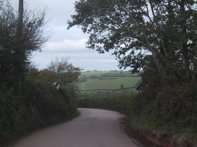
Hele Lane is a picturesque village located in the county of Devon, England. Situated in the South West of the country, this rural settlement offers a serene and idyllic setting for residents and visitors alike. Nestled amidst rolling hills and lush green fields, Hele Lane provides a tranquil escape from the hustle and bustle of urban life.

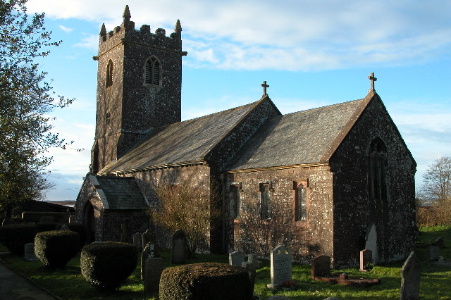
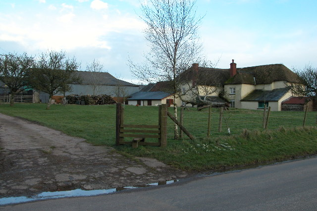
The village is characterized by its charming thatched cottages, which line the narrow lanes and add to the village's quaint appeal. The architecture reflects the traditional style of the region, further enhancing the overall ambiance of Hele Lane. Residents take great pride in maintaining the village's authentic character, resulting in a well-preserved and visually pleasing environment.

Hele Lane benefits from its proximity to the stunning Devonshire countryside, offering residents ample opportunities for outdoor activities. The nearby Dartmoor National Park is a popular destination for hiking and exploring the untamed wilderness. Additionally, the beautiful beaches of the South Devon coastline are within easy reach, providing a perfect spot for relaxation and leisure.

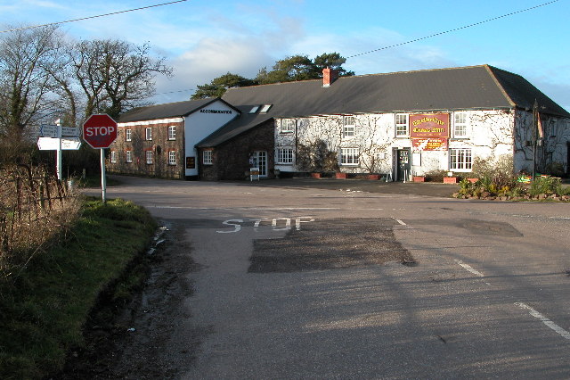
The village boasts a strong sense of community, with regular events and gatherings that bring residents together. A small but vibrant local economy supports various independent businesses, including charming cafes, artisan shops, and traditional pubs that serve local delicacies and beverages.

Hele Lane is well-connected to the larger towns and cities in the region, with good transportation links. This allows residents to enjoy the tranquility of village life while still having access to the amenities and services found in nearby towns.

In summary, Hele Lane is a hidden gem in the heart of Devon, offering a captivating blend of natural beauty, cultural heritage, and a strong sense of community.

If you have any feedback on the listing, please let us know in the comments section below.
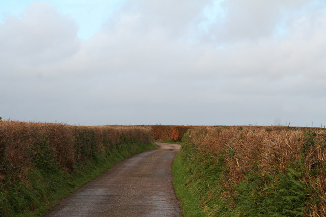
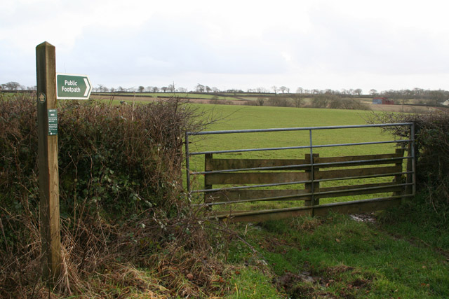
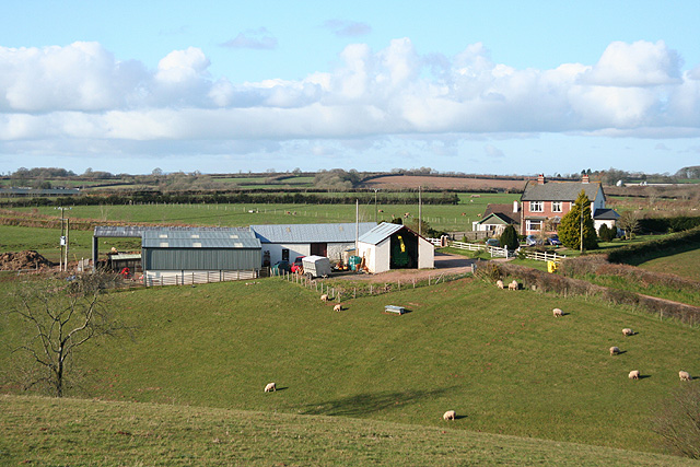
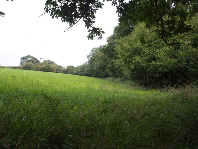
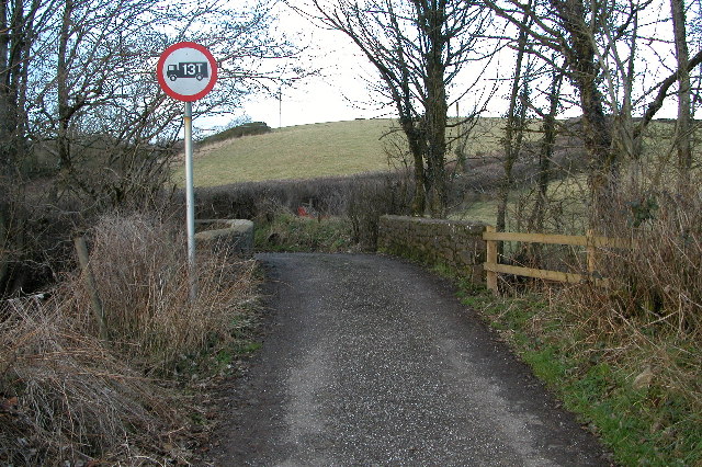
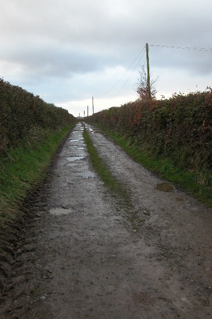
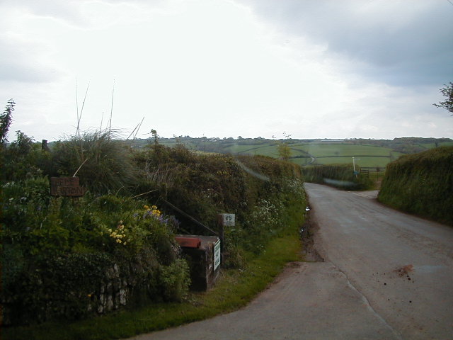
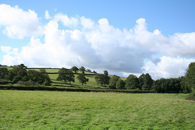
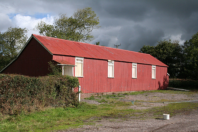
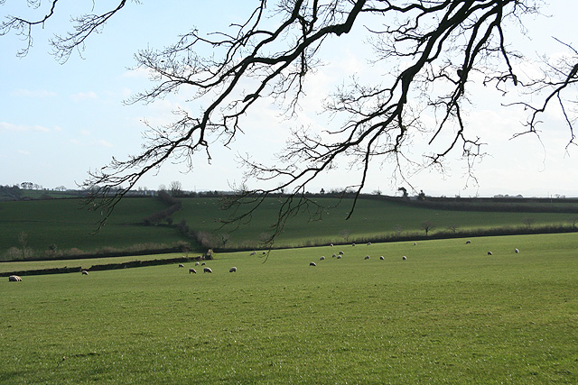
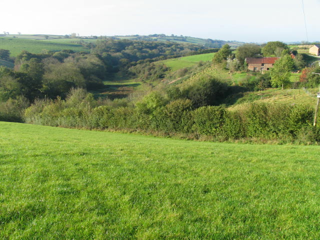
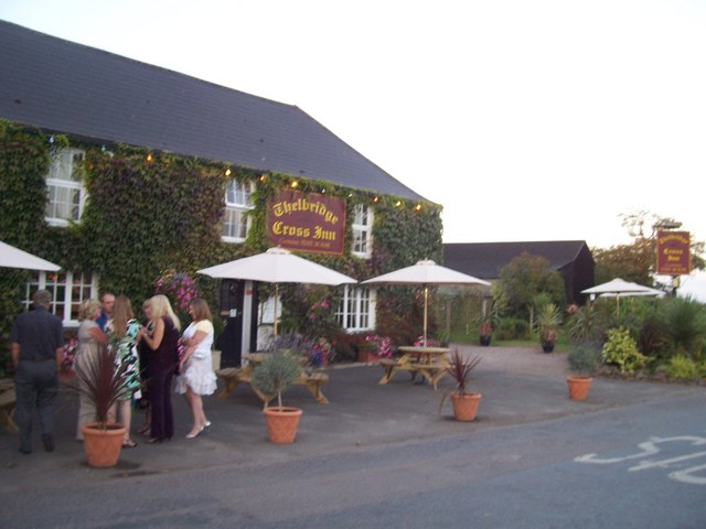
Hele Lane Images

Images are sourced within 2km of 50.883046/-3.7141807 or Grid Reference SS7910. Thanks to Geograph Open Source API. All images are credited.

Washford Pyne: lane from Black Dog Looking north towards Washford Pyne
Washford Pyne: lane from Black Dog
Looking north towards Washford Pyne
Washford Pyne: footpath sign By the lane from Washford Pyne to Black Dog. The footpath leads to Lower Gatehouse. Looking south east
Washford Pyne: footpath sign
By the lane from Washford Pyne to Black Dog. The footpath leads to Lower Gatehouse. Looking south east
Washford Pyne: towards Sentrys Looking north from a bridleway which runs west to Hele Lane
Washford Pyne: towards Sentrys
Looking north from a bridleway which runs west to Hele Lane
Washford Wood Looking out across a corner of a neighbouring field from the wood, near the Two Moors Way.
Washford Wood
Looking out across a corner of a neighbouring field from the wood, near the Two Moors Way.
Field Boundary near Black Dog
Road leaving Black Dog
Thelbridge church Thelbridge church is dedicated to St David.
Thelbridge church
Thelbridge church is dedicated to St David.
Thelbridge Cross Inn Country inn in the heart of Devon. See: <span class="nowrap"><a title="http://www.thelbridgexinn.co.uk/" rel="nofollow ugc noopener" href="http://www.thelbridgexinn.co.uk/">Link</a><img style="margin-left:2px;" alt="External link" title="External link - shift click to open in new window" src="https://s1.geograph.org.uk/img/external.png" width="10" height="10"/></span>
Thelbridge Cross Inn
Country inn in the heart of Devon. See: LinkExternal link
Farm at Hele Barton, near Thelbridge Cross
Cann's Mill Bridge over the river Dalch This narrow road is called Cann's Mill Bridge and crosses the River Dalch by Cann's Mill near Thelbridge.
Cann's Mill Bridge over the river Dalch
This narrow road is called Cann's Mill Bridge and crosses the River Dalch by Cann's Mill near Thelbridge.
Farm track leading to Lewdon Farm, near Thelbridge Grid square with public access only in the extreme north-east corner. The square contains the Dalch valley and Lewdon Farm.
Farm track leading to Lewdon Farm, near Thelbridge
Grid square with public access only in the extreme north-east corner. The square contains the Dalch valley and Lewdon Farm.
Hele Barton entrance to the farm Hele Barton looking south
Hele Barton
entrance to the farm Hele Barton looking south
Washford Pyne: by Hele Lane Bridge Looking south west in the Dalch valley. The barn on the skyline is at Horridge
Washford Pyne: by Hele Lane Bridge
Looking south west in the Dalch valley. The barn on the skyline is at Horridge
Thelbridge: village hall Now roped off. Looking east-north-east
Thelbridge: village hall
Now roped off. Looking east-north-east
Thelbridge: near Billhole Farm Looking east-south-east by the entrance to the farm
Thelbridge: near Billhole Farm
Looking east-south-east by the entrance to the farm
Thelbridge: Five Oaks Moor Looking south
Thelbridge: Five Oaks Moor
Looking south
River Dalch valley at Lewdon Farm This hidden section of the Dalch valley (north side) is a Devon Wildlife Site.
River Dalch valley at Lewdon Farm
This hidden section of the Dalch valley (north side) is a Devon Wildlife Site.
Thelbridge Cross : Thelbridge Cross Inn The Thelbridge Cross Inn is a picturesque, family-run country inn located amongst the glorious rolling hills of Mid-Devon. A former coaching inn dating back to the 1700s, it is built of stone and cob, with beamed ceilings and open log fires.
Thelbridge Cross : Thelbridge Cross Inn
The Thelbridge Cross Inn is a picturesque, family-run country inn located amongst the glorious rolling hills of Mid-Devon. A former coaching inn dating back to the 1700s, it is built of stone and cob, with beamed ceilings and open log fires.
Show me another place!

Hele Lane is located at Grid Ref: SS7910 (Lat: 50.883046, Lng: -3.7141807)

Administrative County: Devon

District: Mid Devon

Police Authority: Devon and Cornwall

What 3 Words

///edicts.boast.limelight. Near Witheridge, Devon

Nearby Locations

Hele Lane

Related Wikis

Black Dog, Devon

Black Dog is a village in Mid Devon, ten miles west of Tiverton and six miles north of Crediton. The village is on one of the highest ridges of land between...
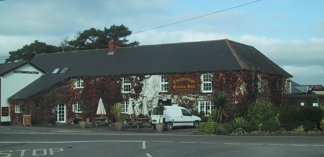
Thelbridge

Thelbridge is a village and civil parish in the Mid Devon district, in the county of Devon, England. It is 5 miles NE of Morchard Road railway station...

Berry Castle, Black Dog

Berry Castle is an earthwork probably dating to the Iron Age close to Black Dog in Devon north of Crediton and west of Tiverton. It does not fit the traditional...

Washford Pyne

Washford Pyne is a village and civil parish in Devon, England. It is 7 miles NE of Morchard Road railway station and 8 N by W of Crediton. The local church...

Nearby Amenities

Located within 500m of 50.883046,-3.7141807
Fixme: unfinished
Lat/Long: 50.8829572/-3.7190308
Generator Method: photovoltaic
Generator Output Electricity: yes
Generator Source: solar
Generator Type: solar_photovoltaic_panel
Location: roof
Power: generator
Lat/Long: 50.8839996/-3.7150955
The data included in this document is from www.openstreetmap.org. The data is made available under ODbL.

Have you been to Hele Lane?

Leave your review of Hele Lane below (or comments, questions and feedback).