Heathlane
Settlement in Shropshire
England
Heathlane
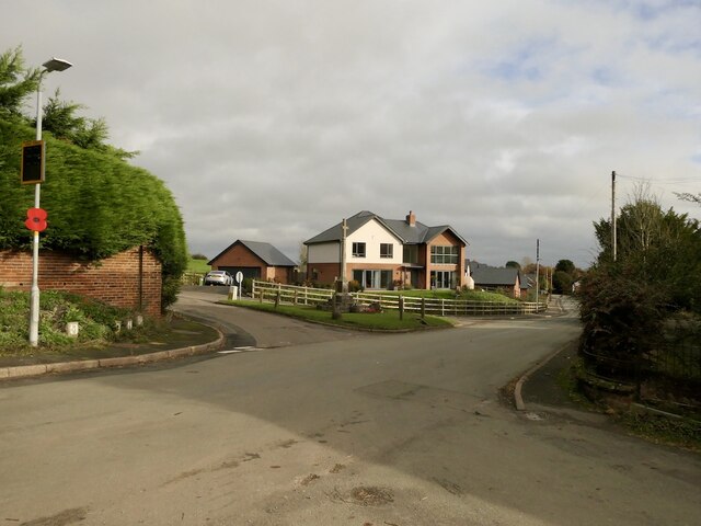
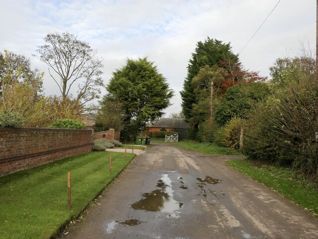
Heathlane is a small village located in the county of Shropshire, England. Situated approximately 5 miles northwest of the town of Shrewsbury, it is nestled amidst the picturesque countryside of the region. Despite its relatively small size, Heathlane boasts a close-knit community and a peaceful rural atmosphere.
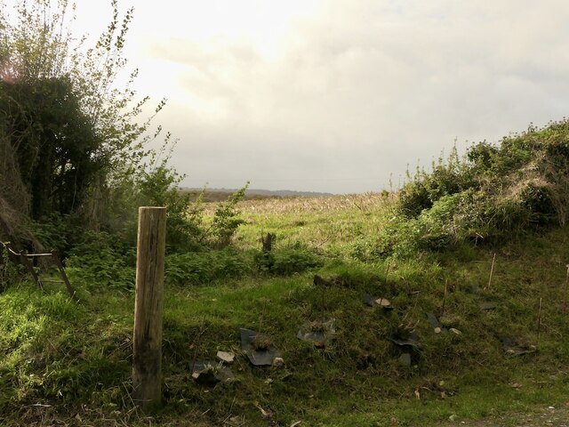
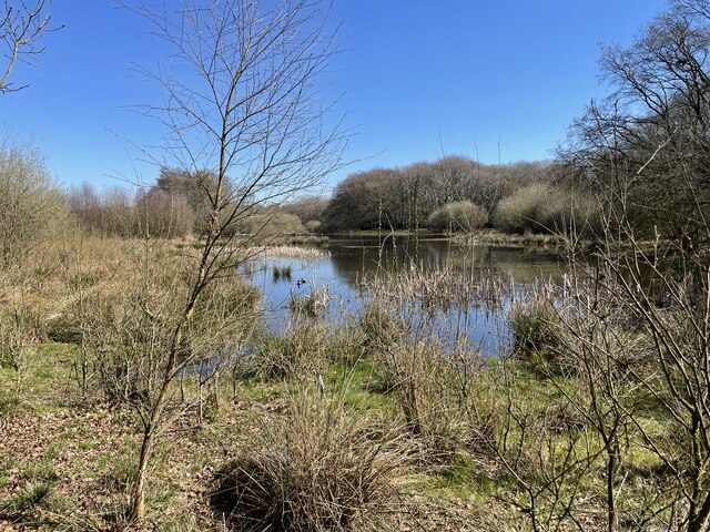
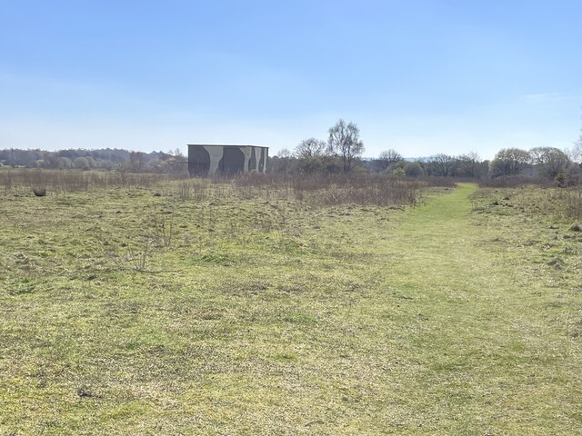
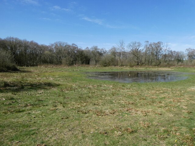
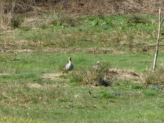
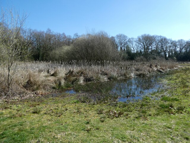
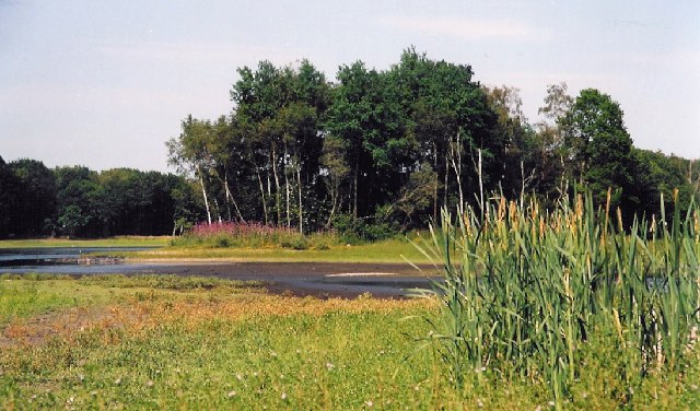
The village's name is derived from its location on a lane that leads to the nearby heathland, which is characterized by its open, undulating landscape and rich biodiversity. This natural beauty is a significant draw for residents and visitors alike, providing ample opportunities for outdoor activities such as hiking, cycling, and birdwatching.
Heathlane is home to a population of around 400 people. The village is predominantly residential, with a mix of traditional and modern houses. The centerpiece of the community is the village hall, which serves as a hub for social gatherings and various community events throughout the year.
Although Heathlane is primarily residential, it benefits from its proximity to Shrewsbury, where residents can access a wider range of amenities including shops, schools, and healthcare facilities. The village also has good transport links, with regular bus services running to and from Shrewsbury and other nearby towns.
Overall, Heathlane offers a tranquil and idyllic setting for those looking to escape the hustle and bustle of city life. With its stunning natural surroundings and friendly community, it is a place that appeals to nature lovers and those seeking a peaceful rural lifestyle.
If you have any feedback on the listing, please let us know in the comments section below.
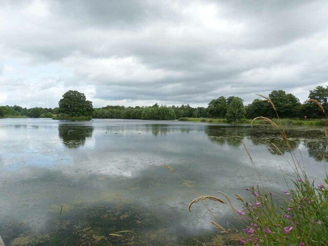
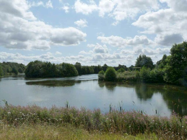
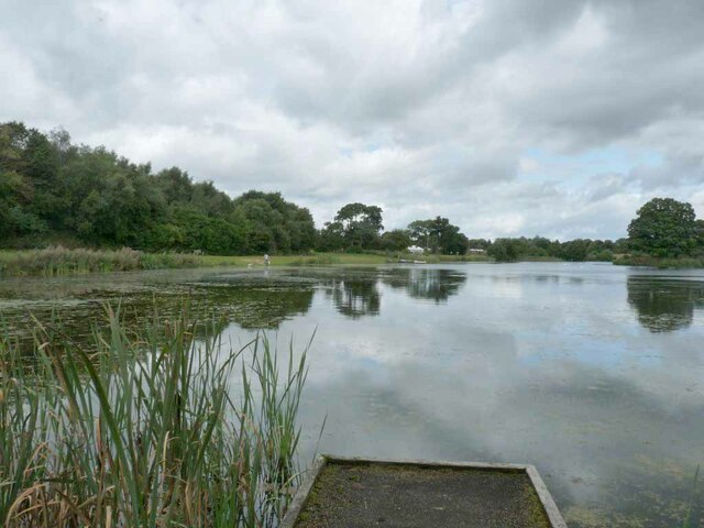
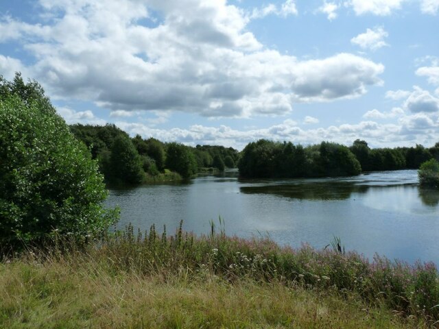
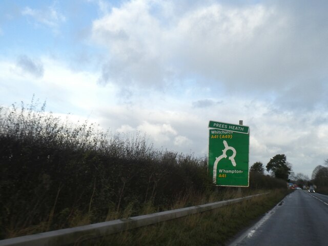
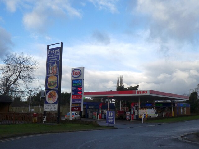
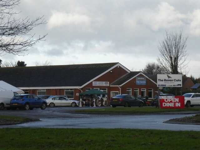
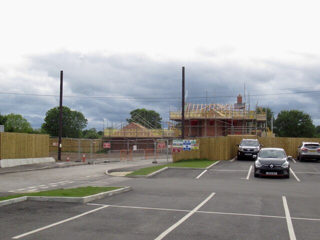
Heathlane Images
Images are sourced within 2km of 52.948054/-2.6658666 or Grid Reference SJ5539. Thanks to Geograph Open Source API. All images are credited.
Heathlane is located at Grid Ref: SJ5539 (Lat: 52.948054, Lng: -2.6658666)
Unitary Authority: Shropshire
Police Authority: West Merica
What 3 Words
///savers.married.flippers. Near Ash, Shropshire
Nearby Locations
Related Wikis
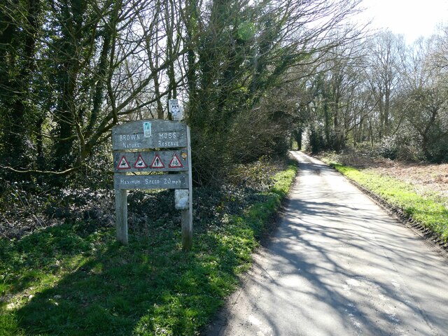
Brown Moss
Brown Moss is a Site of Special Scientific Interest, Local Nature Reserve and important wetland area rich in wildlife close to Whitchurch, Shropshire...

Sir John Talbot's School
Sir John Talbot's is a mixed secondary school in Whitchurch, Shropshire, England, for pupils aged between 11 and 18. The most recent inspection report...
Whitchurch Rural District, Shropshire
Whitchurch was a rural district in Shropshire, England, from 1894 to 1934. It was formed under the Local Government Act 1894 based on part of the Whitchurch...
Whitchurch Rural
Whitchurch Rural is a civil parish in Shropshire, England. It covers the area (that is in Shropshire) to the south and southeast of the town of Whitchurch...
Nearby Amenities
Located within 500m of 52.948054,-2.6658666Have you been to Heathlane?
Leave your review of Heathlane below (or comments, questions and feedback).