Haverbreaks
Settlement in Lancashire Lancaster
England
Haverbreaks
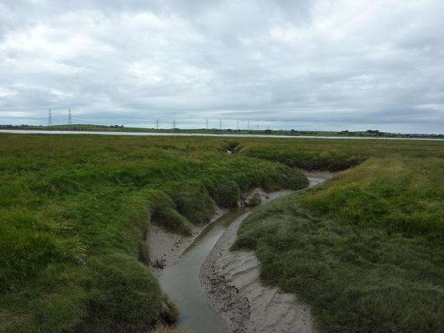
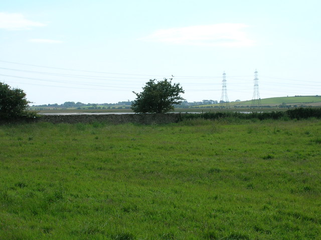
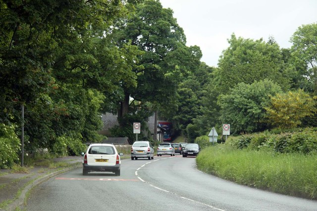
Haverbreaks is a suburban area located in the city of Lancaster, Lancashire, England. It is situated on the northern bank of the River Lune, offering picturesque views of the river and the surrounding countryside. Haverbreaks is known for its peaceful and idyllic setting, making it an attractive place to live for families and professionals alike.
The area is primarily residential, characterized by a mix of detached and semi-detached houses, as well as a few apartment complexes. The properties in Haverbreaks are known for their architectural diversity, with some dating back to the Victorian era, while others are more modern in design. The neighborhood is well-maintained, with tree-lined streets and well-kept gardens adding to its charm.
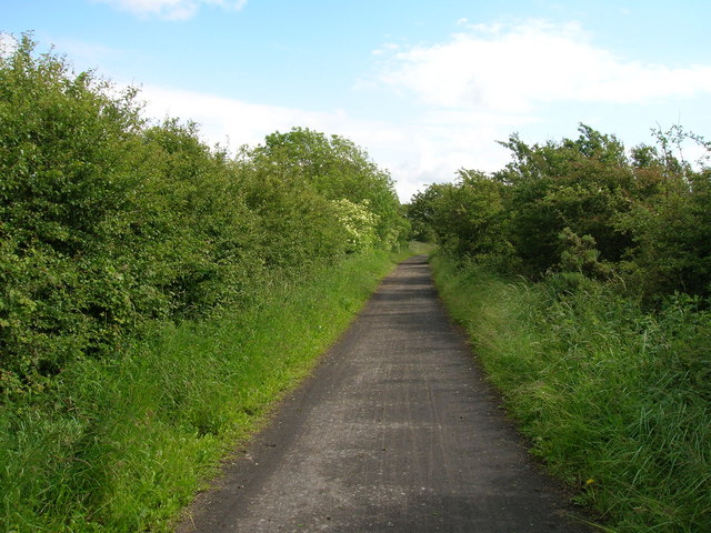
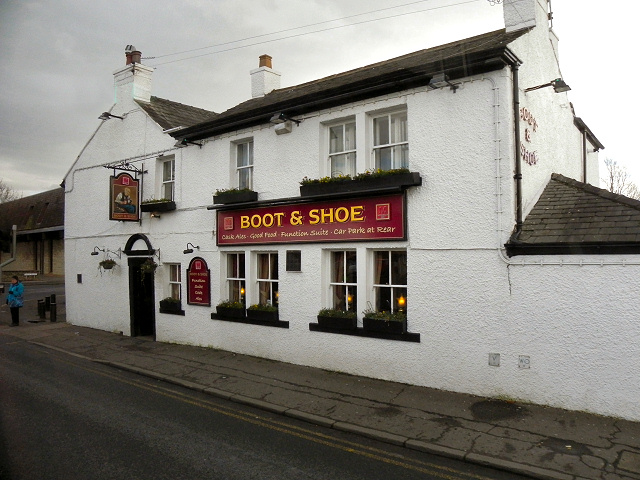
Haverbreaks benefits from its proximity to Lancaster city center, which is just a short drive or a pleasant walk along the river away. This provides residents with easy access to a range of amenities, including shops, restaurants, schools, and healthcare facilities. Additionally, the area is well-served by public transportation, with regular bus services connecting Haverbreaks to the wider Lancaster area.
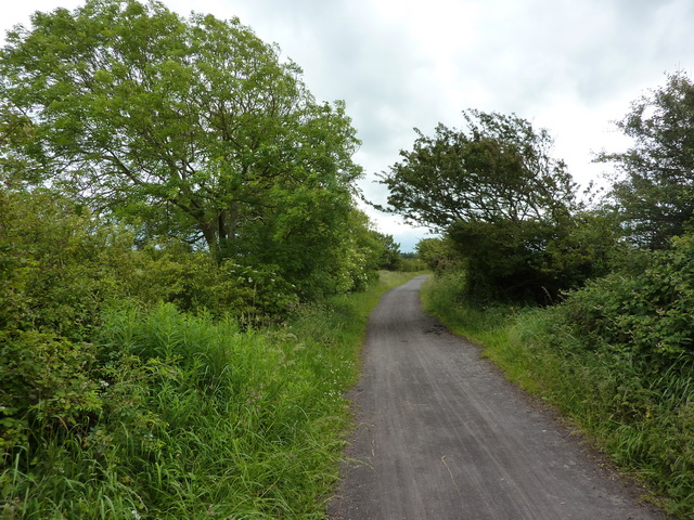
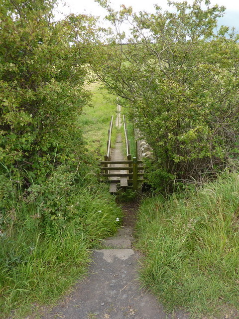
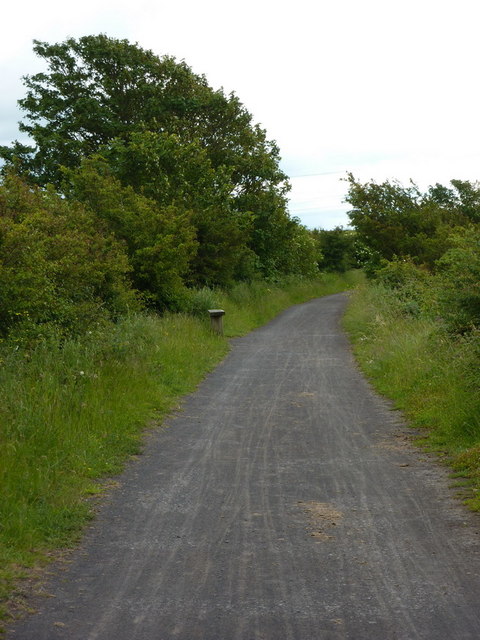
Nature enthusiasts will appreciate the nearby Haverbreaks Nature Reserve, a small but beautiful green space that offers opportunities for leisurely walks and birdwatching. The reserve is home to a variety of wildlife and is a popular spot for locals to relax and enjoy the outdoors.
In summary, Haverbreaks is a tranquil and attractive residential area in Lancaster, Lancashire. Its riverside location, architectural charm, and proximity to amenities make it a highly desirable place to live.
If you have any feedback on the listing, please let us know in the comments section below.
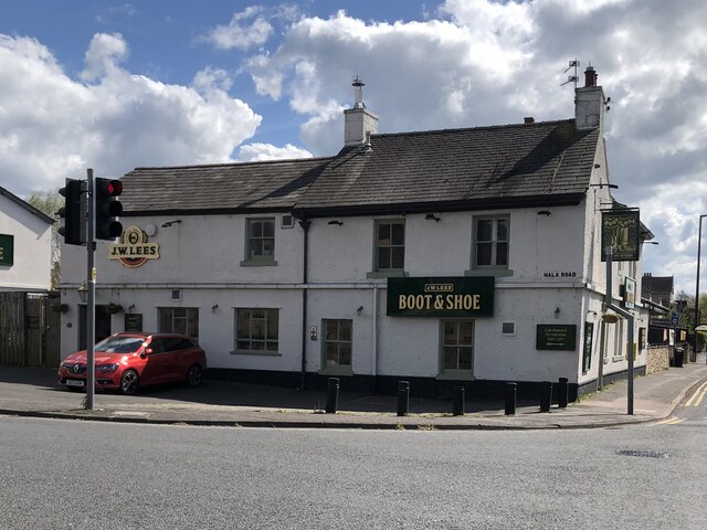
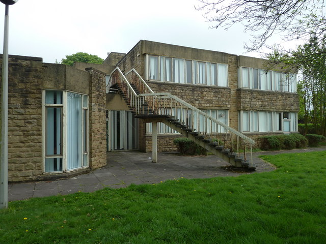
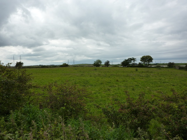
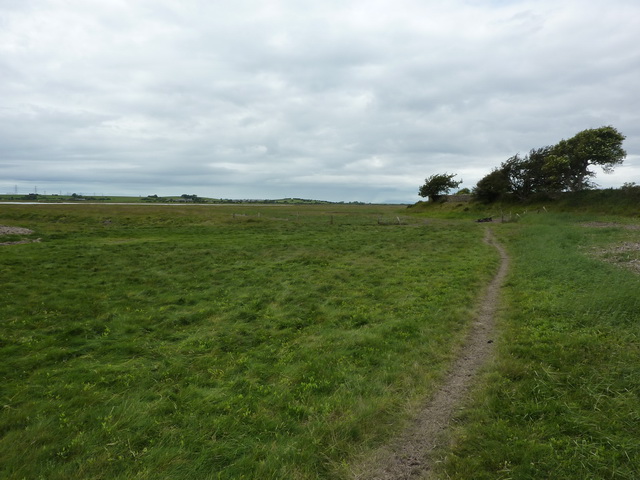
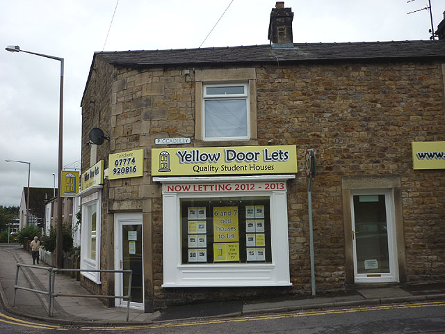
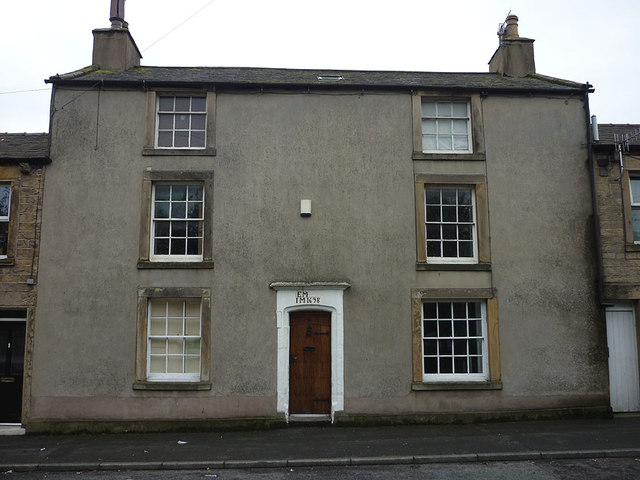
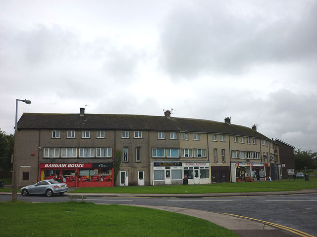
Haverbreaks Images
Images are sourced within 2km of 54.039268/-2.8095341 or Grid Reference SD4760. Thanks to Geograph Open Source API. All images are credited.
Haverbreaks is located at Grid Ref: SD4760 (Lat: 54.039268, Lng: -2.8095341)
Administrative County: Lancashire
District: Lancaster
Police Authority: Lancashire
What 3 Words
///pocket.task.reprints. Near Lancaster, Lancashire
Nearby Locations
Related Wikis

Aldcliffe Hall
Aldcliffe Hall was a 19th-century country house, now demolished, which replaced a previous mediaeval building, on the bank of the Lune estuary in Aldcliffe...
Ripley St Thomas Church of England Academy
Ripley St Thomas Church of England Academy is a mixed Church of England high school operating under academy status, in the city of Lancaster in the north...
Ripley School Chapel
Ripley School Chapel is part of what is now the Ripley St Thomas Church of England Academy, located in Ashton Road, Lancaster, Lancashire, England. It...

Aldcliffe
Aldcliffe is a hamlet, and former township and civil parish, now in the parish of Aldcliffe-with-Stodday, south-west of Lancaster, in the Lancaster district...
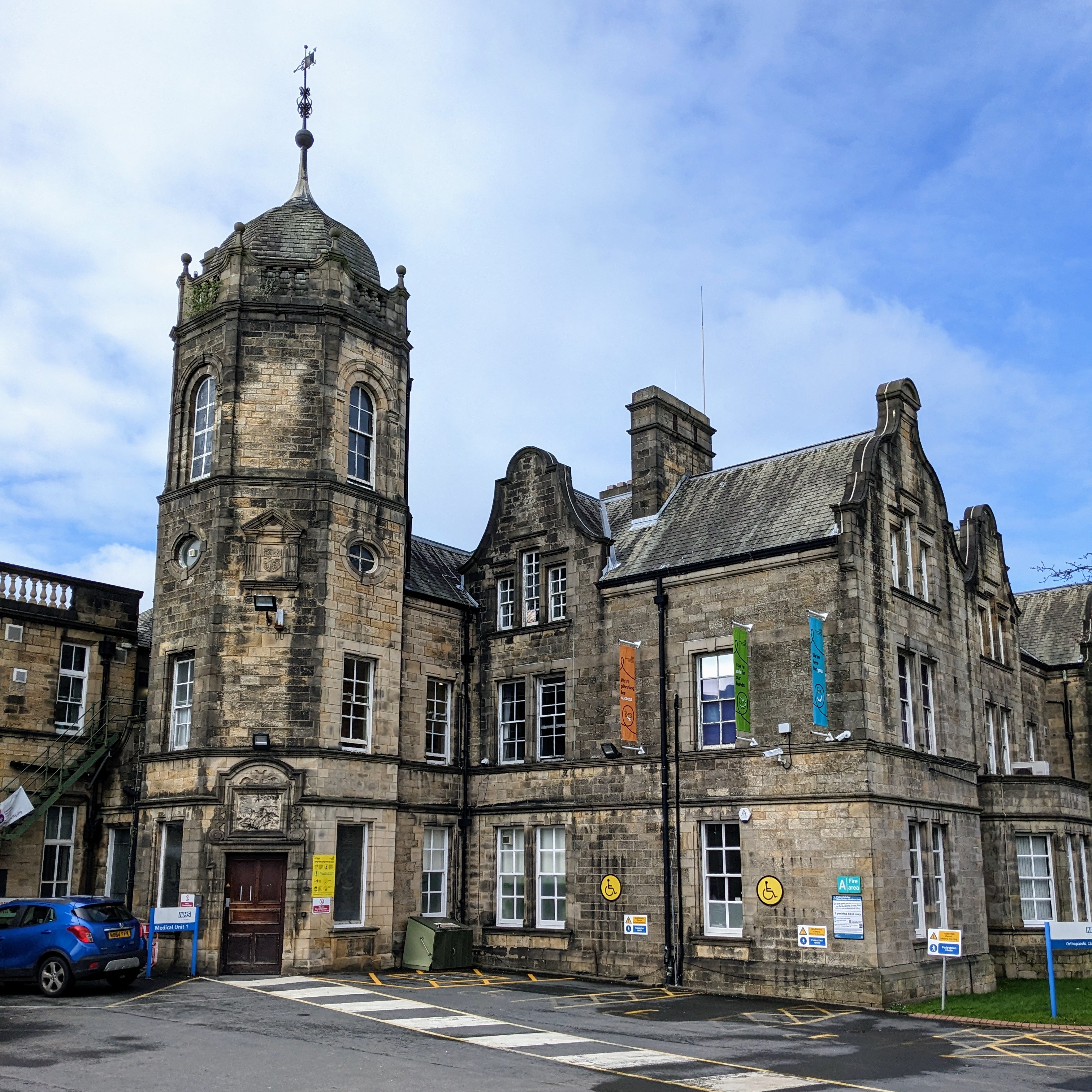
Royal Lancaster Infirmary
The Royal Lancaster Infirmary (RLI) is a hospital in the city of Lancaster, England. It lies to the south of the city centre, between the A6 road and the...
Lancaster Girls' Grammar School
Lancaster Girls' Grammar School (LGGS) is a selective state grammar school with academy status for girls on Regent Street in Lancaster, England. It was...
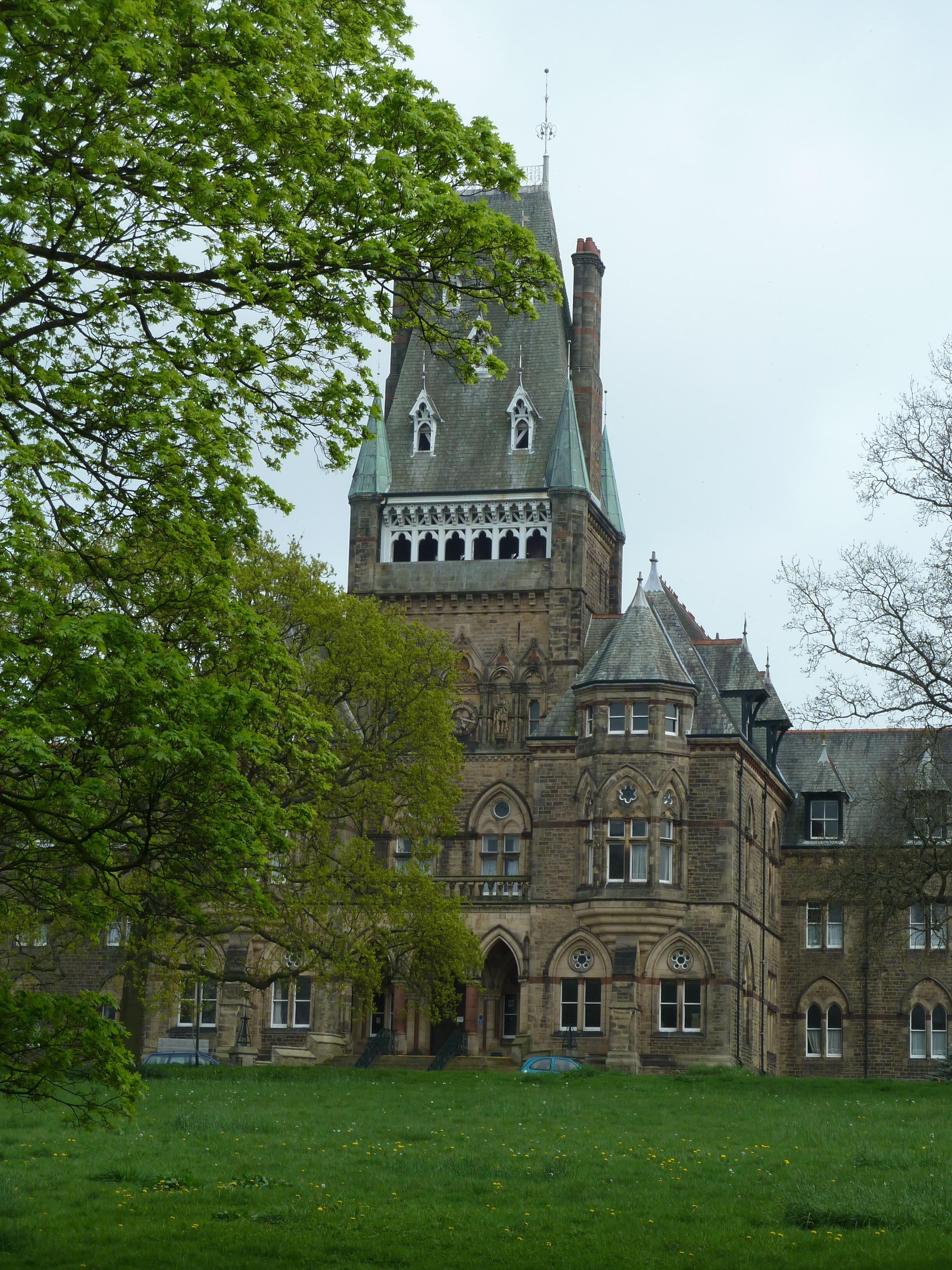
Royal Albert Hospital
The Royal Albert Hospital was a hospital in Lancaster, Lancashire, England. It opened in 1870 as an institution for the care and education of children...

Abraham Heights
Abraham Heights is a suburb of Lancaster, Lancashire, England. == Geography == It is west of the city centre, with the River Lune to the north and west...
Nearby Amenities
Located within 500m of 54.039268,-2.8095341Have you been to Haverbreaks?
Leave your review of Haverbreaks below (or comments, questions and feedback).