Harworth

Settlement in Nottinghamshire Bassetlaw

England

Harworth

Harworth Lodge, Serlby Park Former western gatehouse to the Serlby Hall estate
Harworth Lodge, Serlby Park Credit: Neil Theasby

Harworth is a small town located in the county of Nottinghamshire, England. Situated approximately 18 miles southeast of Sheffield and 10 miles northwest of Worksop, it falls within the Bassetlaw district. The town is nestled in the heart of the Nottinghamshire coalfield, which historically played a significant role in the local economy.

Harworth has a rich mining heritage, with coal mining being the main industry that thrived in the area for over a century. The town's landscape still bears the marks of its mining past, with remnants of old collieries and spoil heaps scattered across the surrounding countryside.

Today, Harworth has diversified its economy and is home to a mix of industries, including manufacturing, logistics, and warehousing. The town boasts excellent transport connections, with the A1(M) motorway passing nearby, providing easy access to neighboring towns and cities. The nearby Robin Hood Airport Doncaster Sheffield offers convenient air travel options.

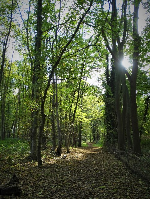
Despite its industrial character, Harworth is surrounded by picturesque countryside and offers a range of outdoor recreational opportunities. The town is situated close to the Sherwood Forest, famous for its association with the legendary outlaw Robin Hood. The forest provides ample opportunities for walking, cycling, and exploring the region's natural beauty.

Harworth offers a range of amenities, including shops, pubs, and community facilities, catering to the needs of its residents. The town also has primary and secondary schools, contributing to the local education system.

In conclusion, Harworth is a small town in Nottinghamshire that has transitioned from its mining heritage to become a diverse industrial hub. Surrounded by beautiful countryside and benefiting from excellent transport links, it offers a pleasant living environment for its residents.

If you have any feedback on the listing, please let us know in the comments section below.
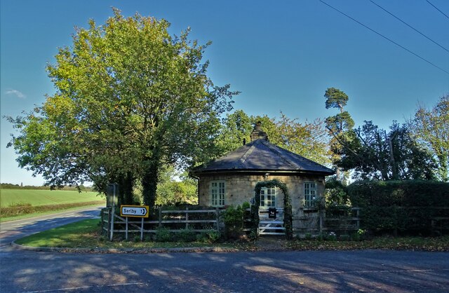
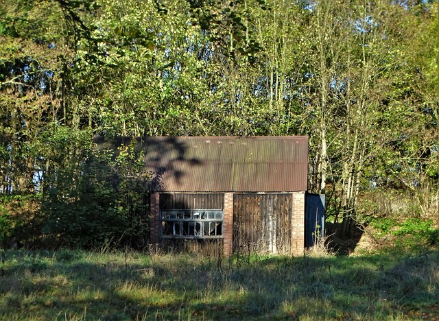
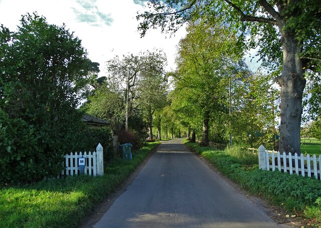
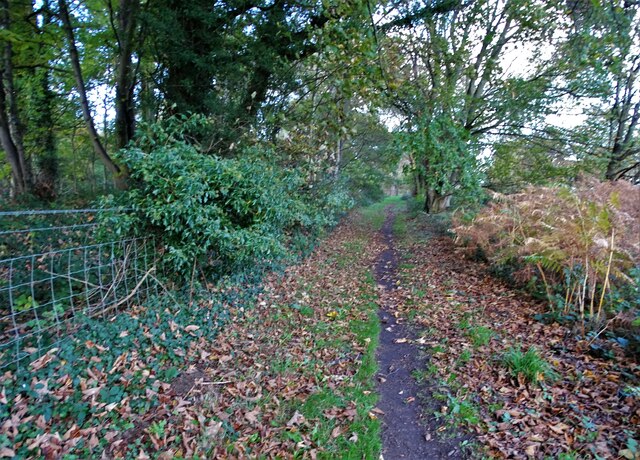
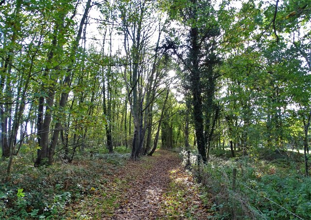
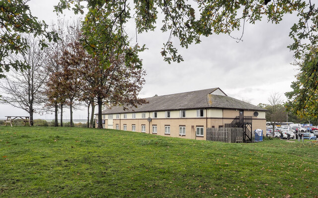
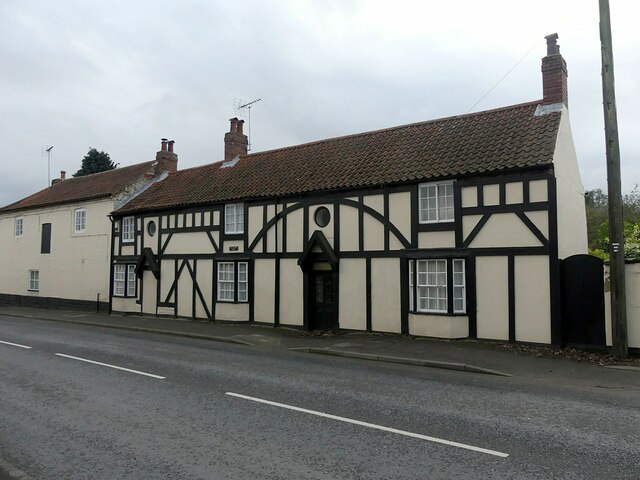
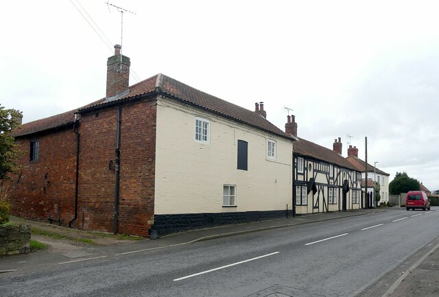
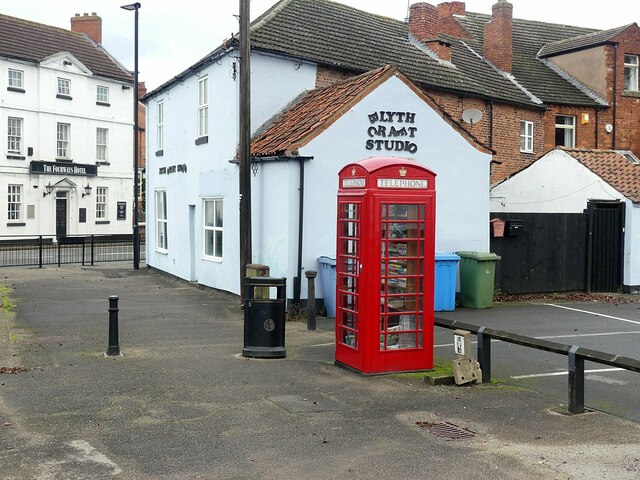
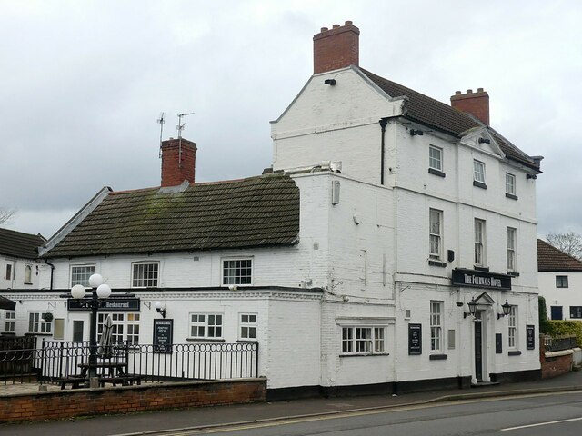
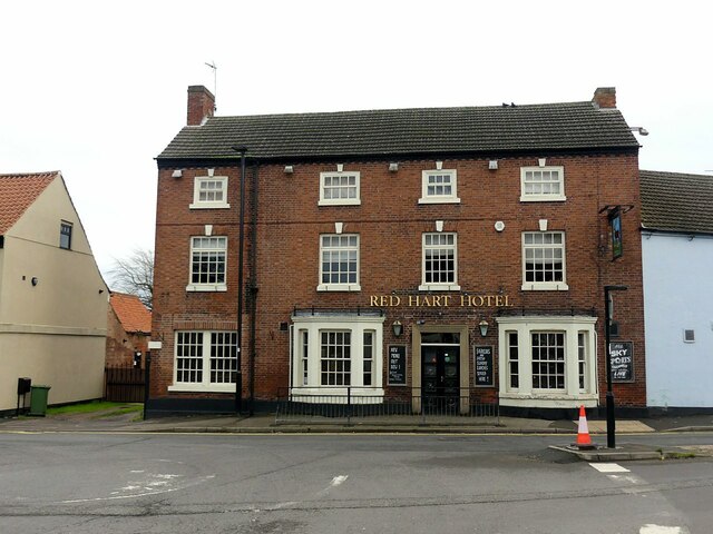
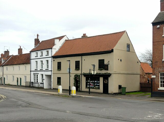
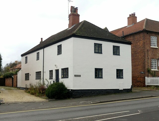
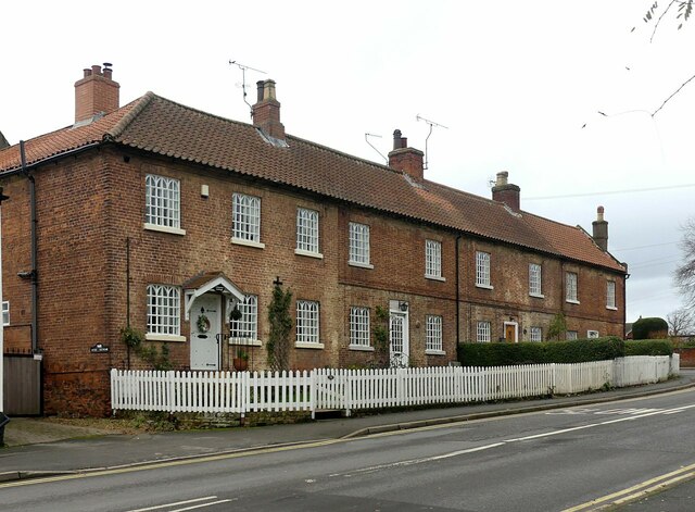
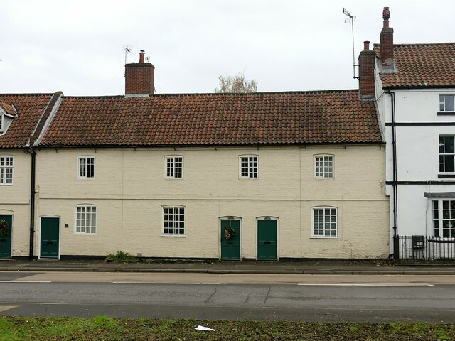
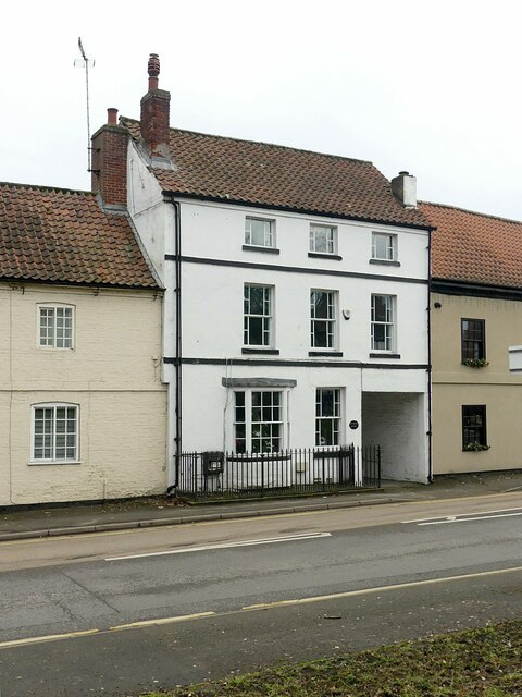
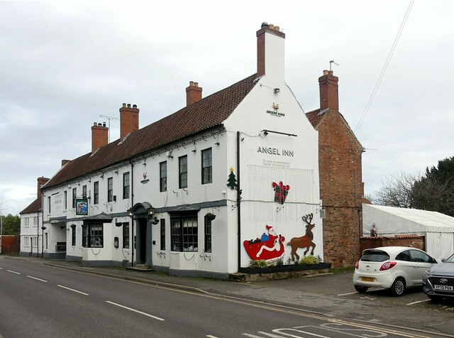
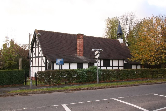
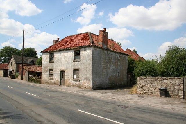
Harworth Images

Images are sourced within 2km of 53.394201/-1.0655811 or Grid Reference SK6289. Thanks to Geograph Open Source API. All images are credited.

Harworth Lodge, Serlby Park Former western gatehouse to the Serlby Hall estate
Harworth Lodge, Serlby Park
Former western gatehouse to the Serlby Hall estate
Gamekeeper's outbuilding, Serlby Hall estate Now in a ruinous state. It looked better in July 2008:- <a title="https://www.geograph.org.uk/photo/877490" href="https://www.geograph.org.uk/photo/877490">Link</a>
Gamekeeper's outbuilding, Serlby Hall estate
Now in a ruinous state. It looked better in July 2008:- Link
Entering the estate of Serlby Hall
Path on the edge of Black Cat Plantation
Path east of Brecks Wood The path follows the course of an ancient earth embankment which is on the left behind the wire fence.
Path east of Brecks Wood
The path follows the course of an ancient earth embankment which is on the left behind the wire fence.
Heading south through Black Cat Plantation
Motel at Blyth Services The Travelodge at Blyth Services where the A1(M) and A1 join.
Motel at Blyth Services
The Travelodge at Blyth Services where the A1(M) and A1 join.
The former Rose and Crown, Retford Road In origin a timber framed building of the 17th century, the road frontage has been much rebuilt, with mock timber framing. Listed Grade II.
The former Rose and Crown, Retford Road
In origin a timber framed building of the 17th century, the road frontage has been much rebuilt, with mock timber framing. Listed Grade II.
The former Rose and Crown, Retford Road In origin a timber framed building of the 17th century, the road frontage has been much rebuilt, with mock timber framing. This end of the range was built in 1790. Listed Grade II.
The former Rose and Crown, Retford Road
In origin a timber framed building of the 17th century, the road frontage has been much rebuilt, with mock timber framing. This end of the range was built in 1790. Listed Grade II.
K6 telephone kiosk, Retford Road, Blyth One of many Listed Grade II examples, adopted as a local book exchange.
K6 telephone kiosk, Retford Road, Blyth
One of many Listed Grade II examples, adopted as a local book exchange.
The Fourways Hotel, Blyth Very typically a coaching inn, one of a number in the village which was an important stop on the road to the north, although not on the traditional Great North Road itself. The oldest part is the lower two storey wing, dating from the early 18th century. The main block dates from around 1770, in Georgian style, and the single storey extension to this side is 20th century. Listed Grade II. It still offers overnight accommodation.
The Fourways Hotel, Blyth
Very typically a coaching inn, one of a number in the village which was an important stop on the road to the north, although not on the traditional Great North Road itself. The oldest part is the lower two storey wing, dating from the early 18th century. The main block dates from around 1770, in Georgian style, and the single storey extension to this side is 20th century. Listed Grade II. It still offers overnight accommodation.
The Red Hart Hotel, Blyth Typical Georgian 3-bay frontage, late 18th century, with an additional 19th century bay to the left and 19th century bay windows. Originally a coaching inn. Listed Grade II.
The Red Hart Hotel, Blyth
Typical Georgian 3-bay frontage, late 18th century, with an additional 19th century bay to the left and 19th century bay windows. Originally a coaching inn. Listed Grade II.
Ginevers, Bawtry Road, Blyth Listed Grade II as 18th century, more recent study suggests that it dates back to the previous century, originally timber framed, but substantially remodelled in the 19th (addition of shop front) and 20th centuries. In the early 21st century, the window openings, remodelled in the late 20th century, were restored to their earlier size.
Ginevers, Bawtry Road, Blyth
Listed Grade II as 18th century, more recent study suggests that it dates back to the previous century, originally timber framed, but substantially remodelled in the 19th (addition of shop front) and 20th centuries. In the early 21st century, the window openings, remodelled in the late 20th century, were restored to their earlier size.
The Homestead, Sheffield Road, Blyth Originally two cottages, 17th century, much remodelled in the early 19th century, Listed Grade II.
The Homestead, Sheffield Road, Blyth
Originally two cottages, 17th century, much remodelled in the early 19th century, Listed Grade II.
Row of cottages, Sheffield Road, Blyth Thought to have been originally a row of late 16th century cottages, clad in brick c.1800 by William Mellish, of Blyth Hall. Listed Grade II. The Gothick window frames were probably the work of Joshua Walker, the Rotherham ironfounder who purchased Blyth Hall in 1806.

The distinctive Gothick iron window frames are thought to have been added by his successor, Joshua Walker, the Rotherham Iron Founder, who bought the Hall in 1806.
Row of cottages, Sheffield Road, Blyth
Thought to have been originally a row of late 16th century cottages, clad in brick c.1800 by William Mellish, of Blyth Hall. Listed Grade II. The Gothick window frames were probably the work of Joshua Walker, the Rotherham ironfounder who purchased Blyth Hall in 1806. The distinctive Gothick iron window frames are thought to have been added by his successor, Joshua Walker, the Rotherham Iron Founder, who bought the Hall in 1806.
3 - 5, Angel Cottages, Bawtry Road, Blyth Early 19th century, Listed Grade II.
3 - 5, Angel Cottages, Bawtry Road, Blyth
Early 19th century, Listed Grade II.
Ye Olde House, Bawtry Road, Blyth Early 18th century remodelling of a probably 17th century building, Listed Grade II.
Ye Olde House, Bawtry Road, Blyth
Early 18th century remodelling of a probably 17th century building, Listed Grade II.
The Angel Inn, Bawtry Road, Blyth There is thought to have been an inn on this site since the 13th century, but the current building dates to the mid 18th century. Listed Grade II.
The Angel Inn, Bawtry Road, Blyth
There is thought to have been an inn on this site since the 13th century, but the current building dates to the mid 18th century. Listed Grade II.
Show me another place!

Harworth is located at Grid Ref: SK6289 (Lat: 53.394201, Lng: -1.0655811)

Administrative County: Nottinghamshire

District: Bassetlaw

Police Authority: Nottinghamshire

What 3 Words

///handover.notifying.marble. Near Bircotes, Nottinghamshire

Nearby Locations

Harworth Nook Flatt Wood

Related Wikis

Serlby Hall

Serlby Hall is a grade I listed 18th century mansion and estate in Nottinghamshire, England, located 7 miles north-east of Worksop.It is constructed of...

Oldcotes Dyke

Oldcotes Dyke is the name of the final section of a river system that drains parts of north Nottinghamshire and the Metropolitan Borough of Rotherham in...

Styrrup with Oldcotes

Styrrup with Oldcotes is a civil parish in the Bassetlaw district, within the county of Nottinghamshire, England. The overall area had a population of...

St Mary and St Martin's Church, Blyth

St. Mary and St. Martin's Church, Blyth, is a Grade I listed parish church in Blyth, Nottinghamshire, England. == Priory == The priory of St. Mary and...

Blyth Priory

Blyth Priory was a priory in Nottinghamshire, England, dedicated to St Mary the Virgin. == History == Blyth Priory was founded in 1088 by Roger de Busli...

Worksop Rural District

Worksop (previously Blyth and Cuckney) was a Rural District in Nottinghamshire, England. It originated as Worksop Rural Sanitary District in 1872. In...

Blyth, Nottinghamshire

Blyth is a village and civil parish in the Bassetlaw district of the county of Nottinghamshire, in the East Midlands, north west of East Retford, on the...

Styrrup

Styrrup is a village in the civil parish of Styrrup with Oldcotes on the B6463 road in the Bassetlaw district, in the English county of Nottinghamshire...

Nearby Amenities

Located within 500m of 53.394201,-1.0655811
Motorway Junction
Blyth Interchange
Ref: 34
Lat/Long: 53.3914321/-1.0693124
Bus Stop
The Woodlands
Naptan AtcoCode: 3300BA0585
Naptan Bearing: N
Naptan CommonName: The Woodlands
Naptan Crossing: The Woodlands
Naptan Indicator: opp
Naptan NaptanCode: ntsdtjpw
Naptan Notes: BW--3300BA1007
Naptan Street: Bawtry Road
Naptan Verified: no
Source: naptan_import
Lat/Long: 53.3939957/-1.0613122
Bus Stop
Brookside
Naptan AtcoCode: 3300BA0586
Naptan Bearing: S
Naptan CommonName: Brookside
Naptan Indicator: opp
Naptan Landmark: Brookside
Naptan NaptanCode: ntsdtjta
Naptan Notes: BW--3300BA1008
Naptan Street: Bawtry Road
Naptan Verified: no
Source: naptan_import
Lat/Long: 53.3920405/-1.0618665
Bus Stop
Harworth Avenue
Naptan AtcoCode: 3300BA0738
Naptan Bearing: N
Naptan CommonName: Harworth Avenue
Naptan Crossing: Harworth Avenue
Naptan Indicator: opp
Naptan NaptanCode: ntsdajdp
Naptan Notes: BW--3300BA0799
Naptan Street: Blyth Road
Naptan Verified: no
Source: naptan_import
Lat/Long: 53.3941917/-1.0656691
Bus Stop
Harworth Avenue
Naptan AtcoCode: 3300BA0799
Naptan Bearing: S
Naptan BusStopType: CUS
Naptan CommonName: Harworth Avenue
Naptan Crossing: Harworth Avenue
Naptan Indicator: adj
Naptan NaptanCode: ntsgjmwj
Naptan Notes: CUS--3300BA0738
Naptan Street: Blyth Road
Naptan Verified: no
Source: naptan_import
Lat/Long: 53.3940011/-1.0654326
Bus Stop
The Woodlands
Naptan AtcoCode: 3300BA1007
Naptan Bearing: S
Naptan BusStopType: CUS
Naptan CommonName: The Woodlands
Naptan Crossing: The Woodlands
Naptan Indicator: adj
Naptan NaptanCode: ntsgpawg
Naptan Notes: CUS--3300BA0585
Naptan Street: Bawtry Road
Naptan Verified: no
Source: naptan_import
Lat/Long: 53.3939765/-1.0611472
Bus Stop
Brookside
Naptan AtcoCode: 3300BA1008
Naptan Bearing: N
Naptan BusStopType: CUS
Naptan CommonName: Brookside
Naptan Indicator: o/s
Naptan Landmark: Brookside
Naptan NaptanCode: ntsgpawj
Naptan Notes: CUS--3300BA0586
Naptan Street: Bawtry Road
Naptan Verified: no
Source: naptan_import
Lat/Long: 53.3921226/-1.0620301
Phone
Check Date: 2024-01-07
Emergency: phone
Lat/Long: 53.3934021/-1.0718395
Cafe
Jayne's Place
Source: survey
Lat/Long: 53.3944451/-1.0615248
Phone
Check Date: 2024-01-07
Emergency: phone
Lat/Long: 53.3932606/-1.0721647
Generator Method: photovoltaic
Generator Output Electricity: yes
Generator Source: solar
Generator Type: solar_photovoltaic_panel
Location: roof
Power: generator
Lat/Long: 53.3942868/-1.0648282
Generator Method: photovoltaic
Generator Output Electricity: yes
Generator Source: solar
Generator Type: solar_photovoltaic_panel
Location: roof
Power: generator
Lat/Long: 53.3937877/-1.0638009
Generator Method: photovoltaic
Generator Output Electricity: yes
Generator Source: solar
Generator Type: solar_photovoltaic_panel
Location: roof
Power: generator
Lat/Long: 53.3922674/-1.0611508
Generator Method: photovoltaic
Generator Output Electricity: yes
Generator Source: solar
Generator Type: solar_photovoltaic_panel
Location: roof
Power: generator
Lat/Long: 53.392273/-1.0612313
Generator Method: photovoltaic
Generator Output Electricity: yes
Generator Source: solar
Generator Type: solar_photovoltaic_panel
Location: roof
Power: generator
Lat/Long: 53.394712/-1.060282
Generator Method: photovoltaic
Generator Output Electricity: yes
Generator Source: solar
Generator Type: solar_photovoltaic_panel
Location: roof
Power: generator
Lat/Long: 53.3947527/-1.0602512
Crossing
Crossing: uncontrolled
Crossing Ref: zebra
Lat/Long: 53.3898138/-1.063909
Barrier: lift_gate
Lift Gate Type: single
Lat/Long: 53.3909886/-1.0661699
Crossing
Crossing: unmarked
Crossing Markings: no
Lat/Long: 53.3907066/-1.0661464
Post Box
Collection Times: Mo-Fr 16:15; Sa 09:00
Post Box Type: lamp
Ref: S81 56
Royal Cypher: EIIR
Royal Cypher Wikidata: Q33102113
Lat/Long: 53.3930512/-1.0617069
Crossing
Crossing: uncontrolled
Crossing Markings: yes
Tactile Paving: yes
Lat/Long: 53.3899691/-1.0640514
Crossing
Crossing: uncontrolled
Crossing Markings: yes
Tactile Paving: yes
Lat/Long: 53.3899145/-1.0638863
Crossing
Crossing: unmarked
Crossing Markings: no
Lat/Long: 53.3906747/-1.066039
Barrier: lift_gate
Lat/Long: 53.3909421/-1.0660038
Barrier: lift_gate
Lat/Long: 53.3906549/-1.0653149
The data included in this document is from www.openstreetmap.org. The data is made available under ODbL.

Have you been to Harworth?

Leave your review of Harworth below (or comments, questions and feedback).