Harton Nook
Settlement in Durham
England
Harton Nook

Harton Nook is a small, picturesque village located in the county of Durham, in the northeast of England. Situated approximately 10 miles south of Durham city center, the village is surrounded by beautiful countryside and offers a peaceful and scenic environment.
The village is well-known for its charming architecture, with many traditional stone-built houses and cottages. The narrow lanes and winding streets add to the village's old-world charm. Harton Nook is also home to a quaint village green, which serves as a focal point for community activities and events.
Despite its small size, Harton Nook has a close-knit and friendly community. The villagers take great pride in maintaining the village's appearance, with well-tended gardens and neatly kept streets. The village also boasts a local pub, which serves as a social hub for residents and visitors alike.
For those seeking outdoor activities, Harton Nook is surrounded by beautiful countryside, offering opportunities for hiking, cycling, and exploring nature. The nearby River Wear provides a tranquil spot for fishing and riverside walks.
Although Harton Nook may lack some of the amenities found in larger towns, its peaceful and idyllic setting more than compensates for this. It is a place where residents can truly embrace the charm of rural living while still being within easy reach of the amenities offered by nearby towns and cities.
If you have any feedback on the listing, please let us know in the comments section below.
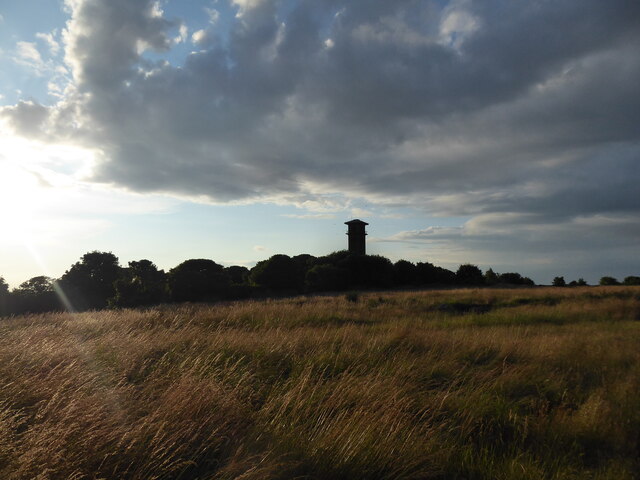
Harton Nook Images
Images are sourced within 2km of 54.973824/-1.4112802 or Grid Reference NZ3764. Thanks to Geograph Open Source API. All images are credited.


Harton Nook is located at Grid Ref: NZ3764 (Lat: 54.973824, Lng: -1.4112802)
Unitary Authority: South Tyneside
Police Authority: Northumbria
What 3 Words
///spark.status.slips. Near South Shields, Tyne & Wear
Nearby Locations
Related Wikis

South Shields (UK Parliament constituency)
South Shields is a borough constituency represented in the House of Commons of the Parliament of the United Kingdom. It elects one Member of Parliament...
Harton Academy
Harton Academy (formerly Harton Technology College, or Harton Comprehensive School) is a mixed secondary school and sixth form located in South Shields...

Harton, South Shields
Harton is a suburban area of South Shields, South Tyneside, North East England. It was historically a village, however as the urban area grew it merged...
South Shields Community School
South Shields Community School was a coeducational secondary school located in South Shields, Tyne and Wear, England, with pupils aged from 11 to 16.The...
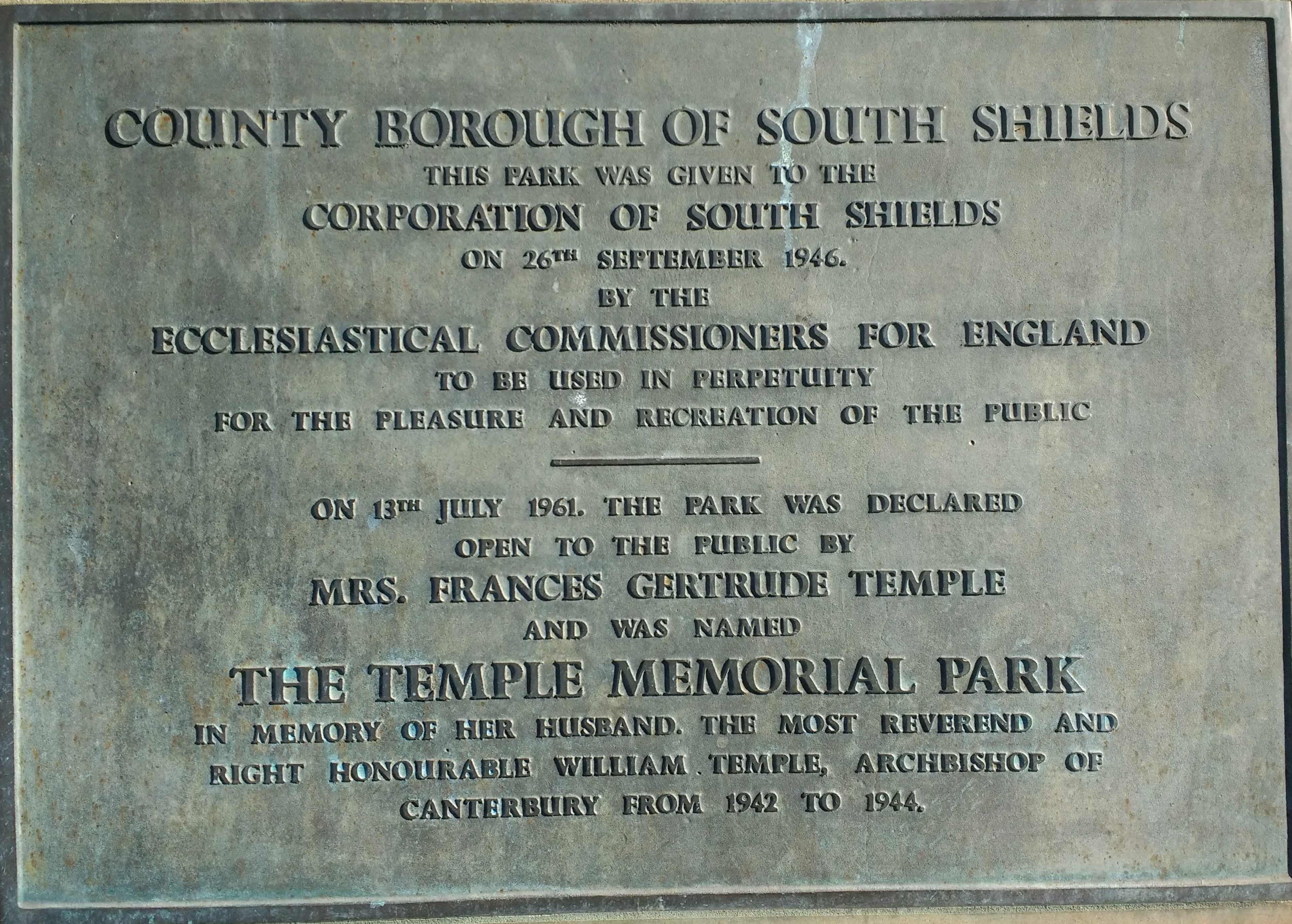
Temple Memorial Park
Temple Memorial Park is a park in South Shields, Tyne and Wear, England, given to the public by the Ecclesiastical Commissioners in 1946 and named after...
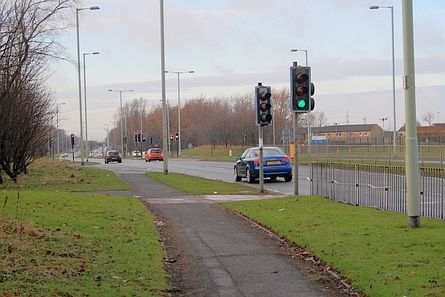
A1300 road
The A1300 is the main 'cross town' route in South Shields, Tyne and Wear. The road runs from Simonside to Marsden via Harton Nook. It is 3.7 miles (6 km...

South Tyneside District Hospital
South Tyneside District Hospital is a healthcare facility providing healthcare services for South Shields, Jarrow, Hebburn, Boldon, Cleadon and Whitburn...
St Wilfrid's Roman Catholic College
St Wilfrid's RC College is a mixed Roman Catholic secondary school and sixth form located in South Shields, South Tyneside, England.St Wilfrid's RC College...
Nearby Amenities
Located within 500m of 54.973824,-1.4112802Have you been to Harton Nook?
Leave your review of Harton Nook below (or comments, questions and feedback).