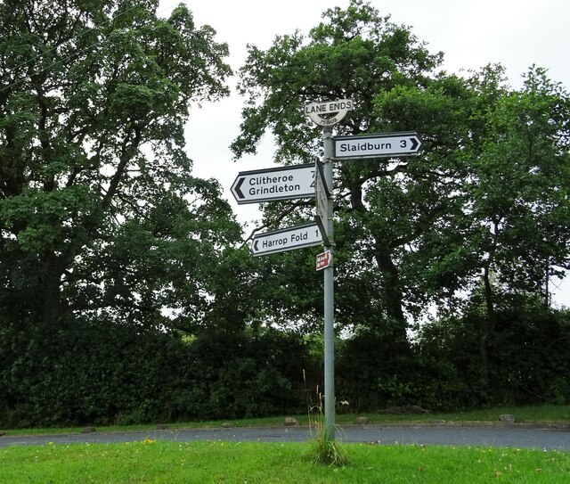
Harrop Fold

Settlement in Yorkshire Ribble Valley

England

Harrop Fold

Guide post at Lane Ends The top half of the roundel has been removed. It is likely that it would have read West Yorks. but the area is now in Lancashire since local government reorganisation.
Guide post at Lane Ends Credit: Phil and Juliette Platt

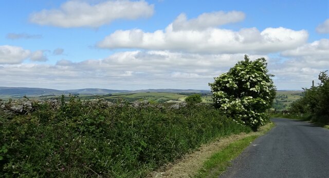
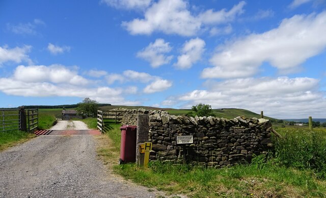
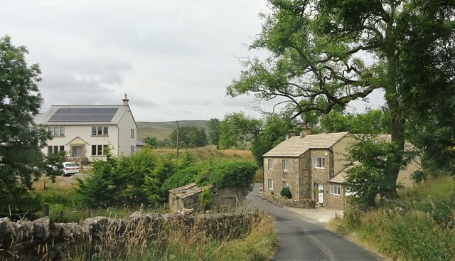
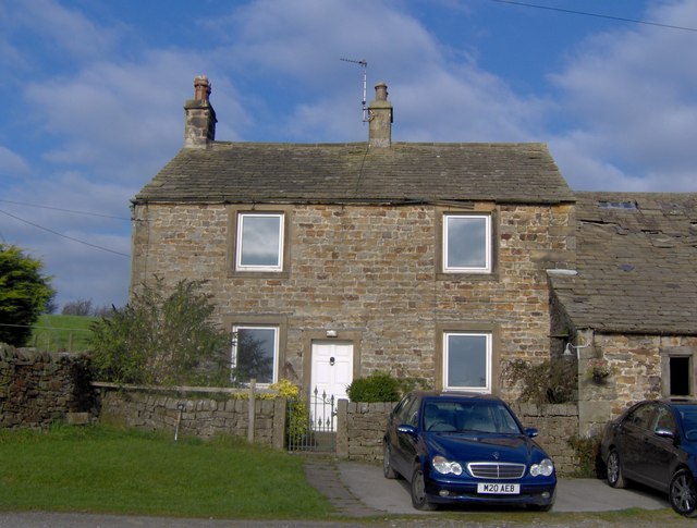
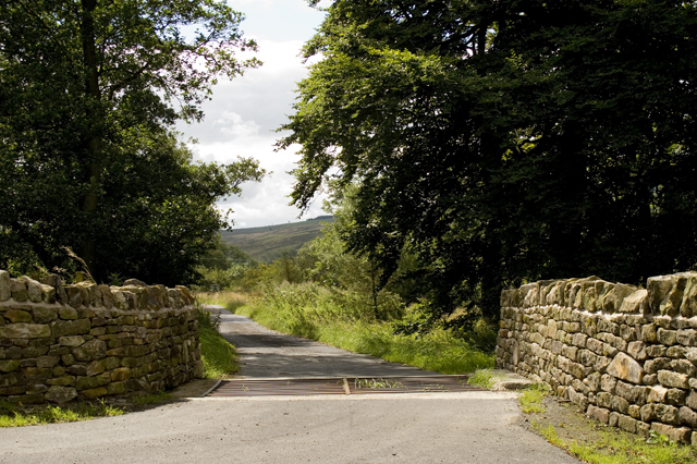
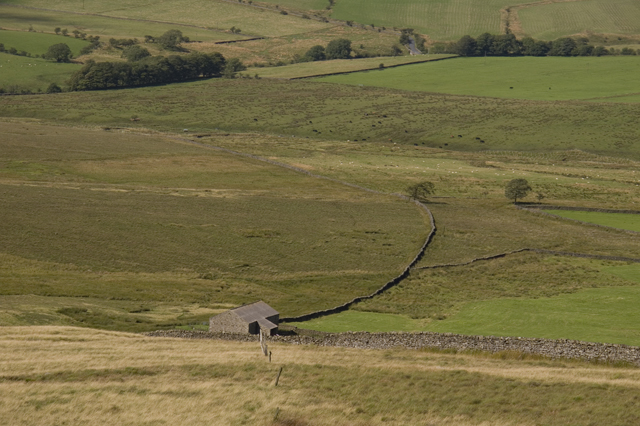
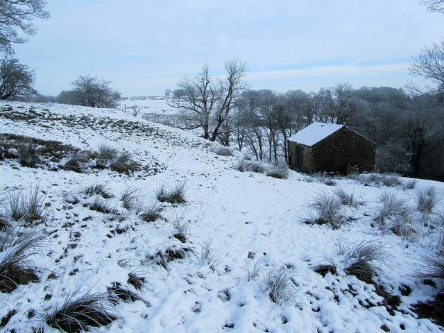
Harrop Fold is a small village located in the county of Yorkshire, England. Situated in the picturesque countryside, it is known for its tranquil setting and natural beauty. The village is surrounded by rolling hills and lush green fields, making it an ideal destination for those seeking a peaceful retreat.

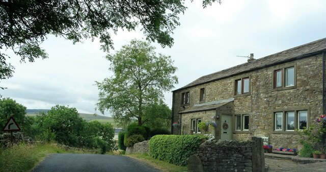
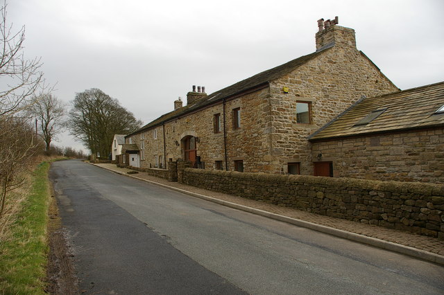
The village itself is home to a close-knit community, with a population of around 500 residents. The local economy primarily relies on agriculture, with many residents working in farming or related industries. The village has a charming, traditional aesthetic, with a mix of old stone cottages and more modern houses.

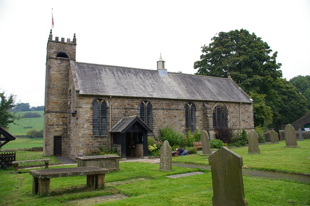
One notable feature of Harrop Fold is its historical church, which dates back to the 12th century. The church, dedicated to St. Mary, is a beautiful example of medieval architecture and attracts visitors from near and far. Its stunning stained glass windows and ornate interior are a testament to the village's rich history.

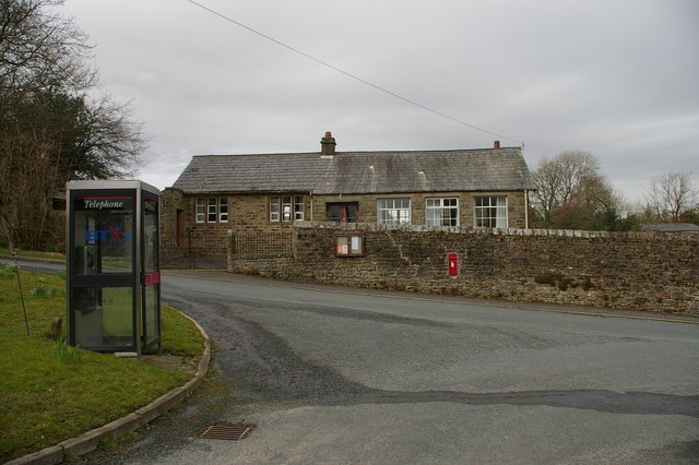
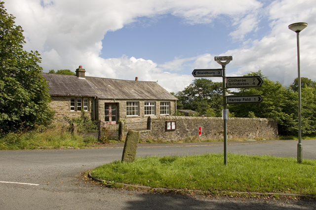
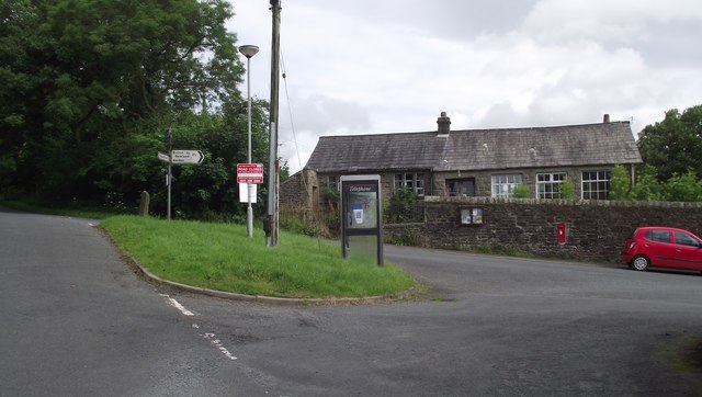
In terms of amenities, Harrop Fold has a small village hall that serves as a hub for community events and gatherings. There is also a local pub, the "Red Lion," where residents and visitors can enjoy a drink or a meal.

For those looking to explore the surrounding area, Harrop Fold is conveniently located near several popular attractions. The nearby Yorkshire Dales National Park offers breathtaking landscapes and opportunities for outdoor activities such as hiking and cycling.

Overall, Harrop Fold is a hidden gem in the heart of Yorkshire, offering a peaceful and picturesque escape from the hustle and bustle of city life.

If you have any feedback on the listing, please let us know in the comments section below.

Harrop Fold Images

Images are sourced within 2km of 53.93819/-2.3876503 or Grid Reference SD7449. Thanks to Geograph Open Source API. All images are credited.

Guide post at Lane Ends The top half of the roundel has been removed. It is likely that it would have read West Yorks. but the area is now in Lancashire since local government reorganisation.
Guide post at Lane Ends
The top half of the roundel has been removed. It is likely that it would have read West Yorks. but the area is now in Lancashire since local government reorganisation.
Smalden Lane In between Grindleton and Slaidburn.
Smalden Lane
In between Grindleton and Slaidburn.
Smalden House Farm The track off Smalden Lane leading to the farmhouse.
Smalden House Farm
The track off Smalden Lane leading to the farmhouse.
Lane junction Smalden Lane meets Landing Lane which leads to Harrop Fold.
Lane junction
Smalden Lane meets Landing Lane which leads to Harrop Fold.
Holden Lane At Bay Gate. The house on the right is Baygate Barn.
Holden Lane
At Bay Gate. The house on the right is Baygate Barn.
The old and the new Houses on Barret Hill Brow near Lane Ends.
The old and the new
Houses on Barret Hill Brow near Lane Ends.
Higher Cross Farm and Barn
Lane Ends Village Hall This used to be the village school.
Lane Ends Village Hall
This used to be the village school.
Past Lane (South) This part of the thoroughfare has been adopted for access to dwellings, like Spencers Farm
Past Lane (South)
This part of the thoroughfare has been adopted for access to dwellings, like Spencers Farm
My House My house is set in the countryside so it is very quiet.
My House
My house is set in the countryside so it is very quiet.
Road junction Lane Ends The building in the background is the old village school
Road junction Lane Ends
The building in the background is the old village school
Entrance lane to Harrop Lodge
Hillside and fields surrounding Copy Laithe
Stone Cross House Previously known as Higher Cross Farm. Near Lane Ends.
Stone Cross House
Previously known as Higher Cross Farm. Near Lane Ends.
Lane Ends Small hamlet near Harrop Fold. The building in the background is the village hall. The stone pillar in the left middle ground is an old guide post.
Lane Ends
Small hamlet near Harrop Fold. The building in the background is the village hall. The stone pillar in the left middle ground is an old guide post.
Stone Barn Perched high above Holden Beck Stone barn encountered on the footpath between Greaves Farm and Lane Ends, in the wintery countryside south of Bowland
Stone Barn Perched high above Holden Beck
Stone barn encountered on the footpath between Greaves Farm and Lane Ends, in the wintery countryside south of Bowland
Snow Covered Pasture above Holden Beck Pasture located above the small valley created by Holden Beck
Snow Covered Pasture above Holden Beck
Pasture located above the small valley created by Holden Beck
Footpath leading towards Harrop Lodge Lonely stile that carries the footpath into a large pasture and onto Harrop Lodge.
Footpath leading towards Harrop Lodge
Lonely stile that carries the footpath into a large pasture and onto Harrop Lodge.
Show me another place!

Harrop Fold is located at Grid Ref: SD7449 (Lat: 53.93819, Lng: -2.3876503)

Division: West Riding

Administrative County: Lancashire

District: Ribble Valley

Police Authority: Lancashire

What 3 Words

///cornfield.airstrip.grow. Near Chatburn, Lancashire

Nearby Locations

Harrop Fold

Related Wikis

Easington Fell

Easington Fell is a Marilyn in the Forest of Bowland in Lancashire, England. It has been surveyed to be 70 cm higher than a nearby fell of almost identical...

Skirden Beck

Skirden Beck is a minor river in Lancashire, England (historically in the West Riding of Yorkshire). It is approximately 4.3 miles (6.85 km) long and has...

Bowland High

Bowland High is a coeducational secondary school with academy status, located in Grindleton in Lancashire, England. It educates pupils from ages 11–16...

Grindleton

Grindleton is a village and civil parish in the Ribble Valley district of the English county of Lancashire, formerly in the West Riding of Yorkshire. Its...

Grindletonians

The Grindletonians were a Puritan sect that arose in the town of Grindleton in Lancashire, England, in around 1610. The sect remained active in the North...

Bolton-by-Bowland

Bolton-by-Bowland is a village and civil parish in the Ribble Valley district of Lancashire, England. Before 1974, the village was part of Bowland Rural...

St Ambrose's Church, Grindleton

St Ambrose's Church is in the village of Grindleton, which is situated about 3 miles (5 km) northeast of Clitheroe, Lancashire, England. It is an active...

St Peter and St Paul's Church, Bolton-by-Bowland

St Peter and St Paul's Church is in Gisburn Road, Bolton-by-Bowland, Lancashire, England. It is an active Anglican parish church in the deanery of Whalley...

Nearby Amenities

Located within 500m of 53.93819,-2.3876503
Barrier: stile
Material: stone
Source: survey;gps
Stile: stepover
Lat/Long: 53.9385385/-2.3879913
Barrier: stile
Material: wood
Source: survey;gps
Stile: stepover
Lat/Long: 53.9387814/-2.3879707
Barrier: stile
Material: wood
Source: survey;gps
Stile: stepover
Lat/Long: 53.9405624/-2.3876126
Barrier: stile
Material: wood
Source: survey;gps
Stile: stepover
Lat/Long: 53.9420571/-2.3871838
Harrop Fold
Place: hamlet
Lat/Long: 53.9381183/-2.3869702
The data included in this document is from www.openstreetmap.org. The data is made available under ODbL.

Have you been to Harrop Fold?

Leave your review of Harrop Fold below (or comments, questions and feedback).